
Mori Atlas logo
Park earthquake history

Review documented epicentre locations, event magnitudes, and depths for the surrounding region.

Historical Earthquake Records and Seismic Activity Near Little Qualicum Falls Provincial Park

This collection provides a structured view of historical earthquake events that have occurred in the vicinity of Little Qualicum Falls Provincial Park. Each entry tracks specific seismic activity based on epicentre distance from the park boundaries, offering transparency into the region's recorded seismic history. Review event timelines, magnitude measurements, and focal depths to understand the patterns of past ground movement around this Vancouver Island protected area.

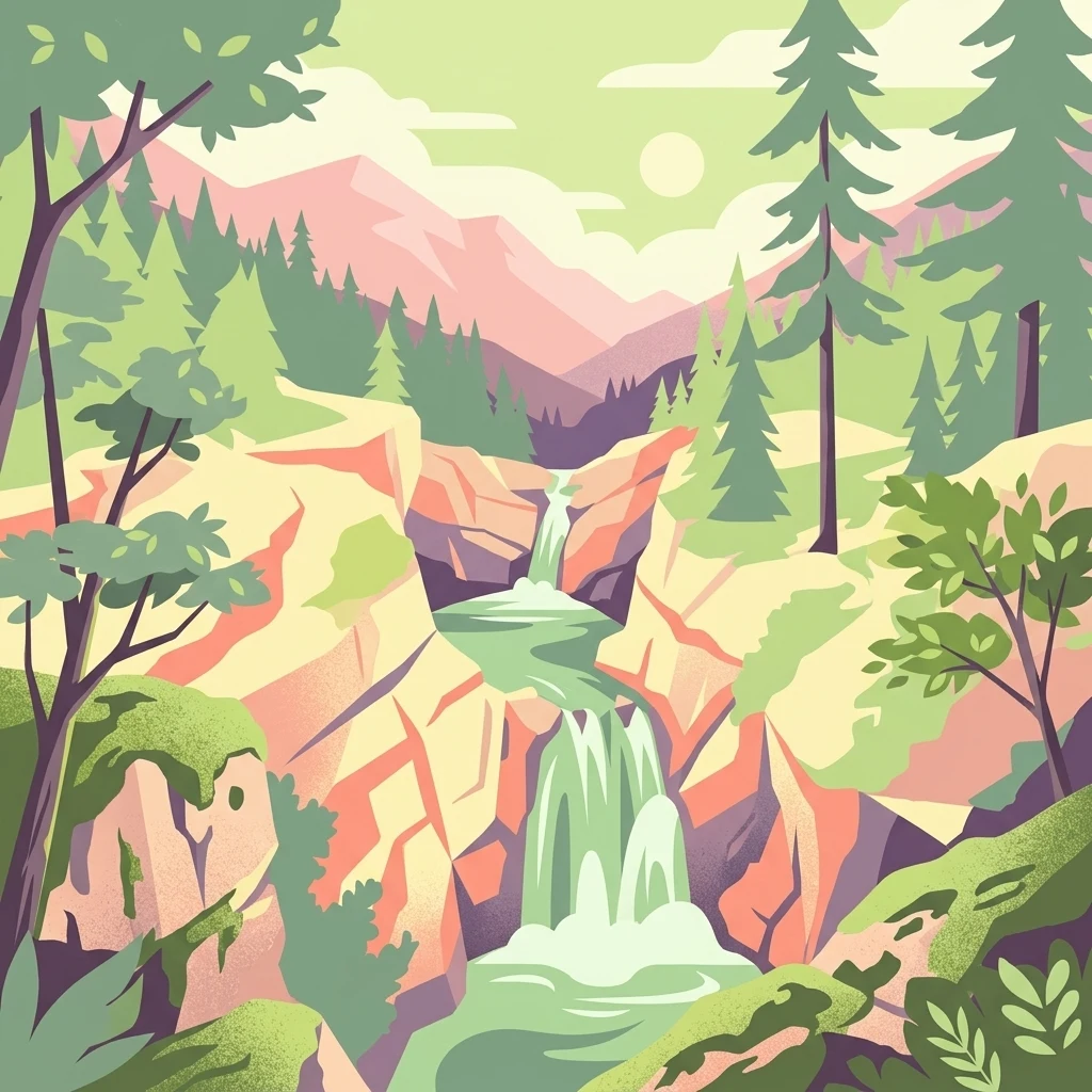
A vibrant graphic illustration showing a tiered waterfall flowing through a rocky canyon surrounded by coniferous trees and mountains.

Cameron Lake, old-growth forest, and a plunging salmon river on central Vancouver Island.

Little Qualicum Falls Provincial Park

Little Qualicum Falls Provincial Park is a protected provincial park on central Vancouver Island in British Columbia, Canada. It lies within the Regional District of Nanaimo and is closely associated with the town of Parksville, the nearest urban centre. The park is best understood through the relationship between Cameron Lake and the Little Qualicum River. It wraps around the entire southern shoreline of Cameron Lake, while the Little Qualicum River descends through a series of cascades and waterfalls on its way toward the Strait of Georgia and the town of Qualicum Beach. The park's defining appeal is the combination of a freshwater lakeshore, a dramatic river canyon with waterfalls, and a mature coastal forest that includes old-growth Douglas Fir. Together these features make the park a compact but ecologically rich outdoor destination on Vancouver Island.

Location
Canada
Park type
State or regional park
Established
1940
Area
4.4 km²
Little Qualicum Falls Provincial Park Geography

Explore Little Qualicum Falls Provincial Park records by distance

Study earthquakes around Little Qualicum Falls Provincial Park

Little Qualicum Falls Provincial Park’s earthquake view maps reported epicentres by calculated distance from its Vancouver Island boundary, keeping seismic records distinct from waterfalls, river gorges, and old-growth forest. Each source-linked entry supplies a date, magnitude, depth, locality, and park distance for historical comparison without claiming ecological effects, present danger, or prediction.

Sort by
Magnitude
Location

This page describes catalogued earthquakes associated with the park by epicentre location and distance. It does not establish causation, assess current danger, or predict future earthquakes.

No earthquake records match the current filters

Park atlas

Go beyond Little Qualicum Falls Provincial Park earthquake records

Explore other parks beyond Little Qualicum Falls Provincial Park

Once Little Qualicum Falls Provincial Park’s earthquake catalogue has been reviewed, these links offer more atlas destinations beyond its Vancouver Island old-growth forest, river canyon, waterfalls, mountain lake, and salmon habitat. Selection does not establish similar provincial status, nearby geography, landforms, geology, event histories, source completeness, seismic hazard, or risk.
A horizontal watercolor illustration featuring a wooden boardwalk winding through a calm, light-filled landscape with soft green trees, grassy foreground, and rolling hills in the distance.
State or regional parkBritish Columbia
About 0.3 km away#1 closest

West

MacMillan Provincial Park: Mapped Geography and Protected Forest Landscapes

Vancouver Island, British Columbia

Examine the mapped footprint of MacMillan Provincial Park, home to iconic old-growth Douglas fir trees and the Cameron River delta. This protected area serves as a biogeoclimatic transition zone, showcasing the rich, moisture-retentive coastal forest environment that defines this specific section of Vancouver Island.

Area
3.01 km²
Established
1947
IUCN
III
Visitors
543.7K annual
State or regional parkBritish Columbia
About 9.3 km away#2 closest

Northwest

Horne Lake Caves Provincial Park: Mapped Protected Landscapes and Cave Networks

Vancouver Island protected area and karst geography

Horne Lake Caves Provincial Park protects a distinct array of limestone cave systems, including Main, Riverbend, and Euclataws caves. The area bridges underground geological formations with surface-level river recreation along the Qualicum River, providing a comprehensive look at the karst and forested terrain of central-eastern Vancouver Island.

Area
1.58 km²
Established
1971
IUCN
II
Relief
Upland
Watercolor painting of a waterfall surrounded by lush green trees and forest.
State or regional parkBritish Columbia
15 km away#3 closest

East

Englishman River Falls Provincial Park: Regional Geography and Protected Area Overview

Vancouver Island river canyon and coastal forest terrain

Englishman River Falls Provincial Park protects a concentrated area of canyon scenery and old-growth forest on the eastern side of Vancouver Island. The landscape is characterized by the dramatic steps of the Englishman River, deep plunge pools, and mature cedar and hemlock stands. This geography provides an essential look at the coastal rainforest ecosystems and river-fed topography that define the recreational corridors of British Columbia.

Area
0.97 km²
IUCN
II
Relief
Upland
Access
Easy access
A pale, minimalist watercolor painting depicting a wide, sandy beach shoreline with a line of evergreen trees in the distance.
State or regional parkBritish Columbia
19 km away#4 closest

East

Rathtrevor Beach Provincial Park: Coastal Geography and Protected Land Overview

Vancouver Island coastal terrain and forested landscapes

Spanning over 300 hectares, Rathtrevor Beach Provincial Park protects a rare combination of fine sandy beaches and ancient Douglas fir groves along the Strait of Georgia. This coastal sanctuary on Vancouver Island serves as a critical habitat for migrating birds and represents a preserved segment of regional geography amidst the surrounding developed shoreline.

Area
3.47 km²
Established
1967
IUCN
II
Visitors
836.2K annual
Watercolor painting of a tranquil body of water with gentle hills in the background and a cluster of trees on the right shore.
State or regional parkBritish Columbia
31 km away#5 closest

Northeast

Jedediah Island Marine Provincial Park: Coastal Terrain and Regional Protected Area Map

Mapping island boundaries and sheltered maritime ecosystems

Jedediah Island Marine Provincial Park offers a unique study in coastal geography, featuring a complex shoreline of pebble beaches and indented bays. Located within the Strait of Georgia, the park serves as a protected landmass that blends maritime forest ecosystems with open water corridors. Its boat-only access ensures the landscape remains a quiet, preserved example of Gulf Islands terrain.

Area
6.03 km²
Established
1995
IUCN
II
Relief
Lowland
A minimalist watercolor illustration showing rolling hills in the background and soft foliage in the foreground on a white background.
State or regional parkBritish Columbia
About 48 km away#6 closest

East

Petroglyph Provincial Park: Protected Indigenous Heritage and Coastal Geography

Cultural landscape and bedrock carvings in British Columbia

Petroglyph Provincial Park preserves a remarkable concentration of ancient carvings etched into the sandstone bedrock of the Nanaimo River estuary. This protected area on Vancouver Island provides a rare look at how Indigenous traditions integrated with powerful natural features, offering a unique geographic context for studying historical rock art in the Pacific Northwest.

Area
0.02 km²
Established
1948
IUCN
III
Relief
Lowland
A watercolor painting showing a horizontal landscape with a green forest in the foreground and soft pink, layered rolling hills in the background.
State or regional parkBritish Columbia
54 km away#7 closest

East

Morden Colliery Historic Provincial Park: Heritage Infrastructure and Regional Coal Mining History

Industrial landscape and historic rail corridor in British Columbia

Located near Nanaimo, this heritage site preserves the substantial concrete remains of the Morden Colliery. The park serves as a physical archive of southern Vancouver Island industrial life, contrasting engineering landmarks with local forest environments and interpretive trails along former coal railway alignments.

Area
0.04 km²
Established
1972
Relief
Lowland
Scope
Terrestrial
National parkBritish Columbia
54 km away#8 closest

South

Pacific Rim National Park Reserve: National Park Protected Landscape & Map Atlas

Mapped boundaries and regional geographic context in British Columbia.

Pacific Rim National Park Reserve stands as a distinct protected natural landscape, serving as a critical component of Canada's national park inventory. This page facilitates an atlas-style exploration of its mapped boundaries and its position within the broader geography of British Columbia. Understanding the park's protected status and its integration with the surrounding natural terrain offers valuable insight into conservation landscapes.

Area
511 km²
Established
1970
IUCN
VI
Visitors
1.2M annual
MoriAtlas Explorer

Examine the Mapped Terrain and Boundaries of Little Qualicum Falls Provincial Park

Continue exploring the intricate geographic profile of this central Vancouver Island protected area. MoriAtlas provides a clear look at the river cascades, forest composition, and lake-rimmed boundaries that distinguish this park within the British Columbia regional landscape.