Mori Atlas logo
Park earthquake history

A structured repository of recorded seismic events mapped by epicentre distance to the grassland.

Historical Earthquake Records and Seismic Activity Near Lyndon B. Johnson National Grassland

This historical catalogue provides a detailed collection of recorded seismic events located near Lyndon B. Johnson National Grassland. Each entry contains documented magnitude, depth, and chronological data for earthquakes associated with the surrounding Texas prairie and Cross Timbers geography. This resource allows for the analysis of regional seismic occurrences within the vicinity of these protected public lands.

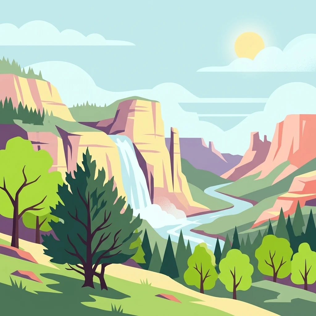
A flat-style digital illustration depicting a sunny mountain landscape featuring steep cliffs, a waterfall flowing into a river, evergreen and deciduous trees, and clouds.

A Great Plains grassland in north Texas named for a native-son president and managed for both recreation and traditional grazing.

Lyndon B. Johnson National Grassland

Lyndon B. Johnson National Grassland is a federally protected grassland in the Great Plains of northern Texas, situated primarily in Wise County with a small extension into southern Montague County. Lying near the town of Decatur and within roughly an hour's drive of Fort Worth, the unit preserves a working slice of the north Texas prairie landscape where open grassland, scattered woodland, and rolling terrain meet the Cross Timbers region of the southern plains. The grassland is administered by the U.S. Forest Service and is managed for multiple uses rather than as a strictly undeveloped park. Visitors use it for hiking, camping, horseback riding, fishing, and hunting, while ranchers continue to graze cattle and other livestock across much of the land, reflecting the long-standing relationship between the Great Plains and pastoral land use. Named for the thirty-sixth U.S. president, who grew up in this part of Texas, the grassland forms part of a wider Texas network of national forests and national grasslands administered from common Forest Service offices. Visually and ecologically, it stands out as one of the larger contiguous blocks of public grassland remaining in the heavily fragmented north Texas countryside.

Location
United States of America
Park type
Protected landscape
Area
82.2 km²
Lyndon B. Johnson National Grassland Geography

Review Lyndon B. Johnson National Grassland events and distances

Search earthquakes around Lyndon B. Johnson National Grassland

Lyndon B. Johnson National Grassland’s catalogue maps reported epicentres by calculated distance from its northern Texas tracts, keeping seismic records distinct from Great Plains prairie, oak savanna, and woodland transitions. Each source record supplies a date, magnitude, depth, locality, and grassland distance for historical comparison without claiming landscape effects, present danger, or prediction.

Sort by
Magnitude
Location

This page describes catalogued earthquakes associated with the park by epicentre location and distance. It does not establish causation, assess current danger, or predict future earthquakes.

No earthquake records match the current filters

Park atlas

Continue from Lyndon B. Johnson National Grassland earthquake data

Discover more parks after Lyndon B. Johnson National Grassland

Earthquake evidence around Lyndon B Johnson National Grassland leads into wider protected-place discovery beyond one northern Texas prairie context. The destinations are not presented as sharing grassland status, Great Plains character, proximity, geology, recorded earthquakes, hazards, risk, management, or information depth.
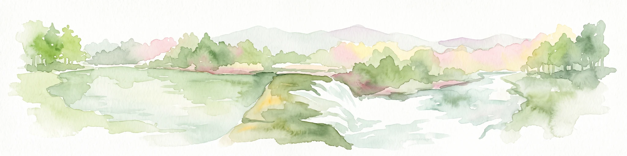
Watercolor painting of a flowing river with a small waterfall and forested banks against a soft, hilly background.
National parkOklahoma
About 130 km away#1 closest

Northeast

Chickasaw National Recreation Area: Geography and Protected Land Map Overview

Explore spring-fed creek corridors and reservoir landscapes in Oklahoma.

Understand the dual landscape of Chickasaw National Recreation Area, where narrow, spring-fed creek valleys contrast with the expansive shoreline of Lake of the Arbuckles. This record highlights the park's distinct transition from historic CCC-designed infrastructure to the surrounding prairie and forested hill terrain in Murray County.

Area
40.06 km²
Established
1902
Visitors
1.5M annual
Relief
Upland
Protected areaTexas
130 km away#2 closest

East

Caddo National Grassland: Geographic Overview of a Texas Protected Area

Restored prairie and oak savanna in Fannin County

Located in northeastern Texas, Caddo National Grassland encompasses roughly 17,873 acres across two distinct units. The park illustrates a successful shift from eroded agricultural land to a protected mosaic of native grasses, hardwood stands, and aquatic corridors anchored by Lake Davy Crockett, providing a clear window into the recovery of the southern Great Plains.

Area
72.33 km²
Established
1930
Relief
Lowland
Climate
Temperate
Watercolor painting of a forested landscape with soft rolling mountains in the background and vegetation in the foreground.
Protected landscapeArkansas
251 km away#3 closest

Northeast

Ouachita National Forest: Protected Landscape and Mountain Geography in Arkansas

Exploring the ancient ridges and river corridors of the Ouachita Mountains

Ouachita National Forest protects a unique geological system of east-west folded ridges and sandstone bluffs in the interior United States. This expansive region provides vital habitats for diverse hardwood communities and hosts extensive wilderness areas, offering a deep look into the natural history and terrain of the Ouachita Mountain range within Arkansas.

Area
7,221.44 km²
Established
1907
IUCN
VI
Relief
Mountain
Protected areaOklahoma
About 292 km away#4 closest

Northeast

Winding Stair Mountain National Recreation Area: Oklahoma Protected Mountain Landscape

Mapped ridge systems and forested highland geography.

Spanning the prominent Winding Stair Mountains, this protected area serves as a key geographic pillar in southeastern Oklahoma. The landscape is characterized by its high-elevation ridgeline profile, pine-covered slopes, and stream-fed valleys, offering a distinct look at the wider Ouachita National Forest ecosystem and its mountainous terrain.

Area
107.02 km²
Established
1988
Relief
Mountain
Climate
Temperate
A horizontal watercolor painting depicting a soft-toned, misty prairie landscape with rolling green hills, patches of tall grass, and distant hazy ridgelines under a pale sky.
Wildlife reserveUnited States of America
293 km away#5 closest

Northwest

Black Kettle National Grassland: Protected Prairie Geography and Regional Map Context

A restored mixed-grass ecosystem in the southern Great Plains

Spanning scattered parcels in Oklahoma and Texas, Black Kettle National Grassland functions as a representative sample of restored southern plains prairie. The terrain consists of sandy soils, rocky red hills, and leafy draws along the Washita River headwaters. This protected area preserves a complex ecological and historical landscape that defines the character of the southern Great Plains, now managed for habitat restoration and natural resource protection.

Area
126.61 km²
Established
1960
Relief
Upland
Climate
Temperate
A pale, minimalist watercolor painting showing a soft green treeline and forest edge against a white background.
Protected landscapeTexas
343 km away#6 closest

Southeast

Sam Houston National Forest: Mapping the Piney Woods Protected Landscape

Regional Geography of East Texas Protected Lands

Sam Houston National Forest is a 163,000-acre protected area in East Texas characterized by loblolly and shortleaf pine ridges. The geography features an intricate network of creeks, hardwood bottomlands, and designated wilderness areas like Little Lake Creek. Framed by Lake Conroe and Lake Livingston, the forest offers a complex look at Gulf Coastal Plains topography and long-standing Piney Woods ecological restoration efforts.

Area
659.82 km²
Established
1936
Relief
Lowland
Climate
Subtropical
Protected landscapeTexas
345 km away#7 closest

Northwest

McClellan Creek National Grassland: Protected Landscape and Texas Geography Atlas

Restored shortgrass prairie and riparian reservoir geography

Located in the Texas Panhandle, McClellan Creek National Grassland serves as a critical example of soil conservation and shortgrass prairie restoration. The protected area features open, rolling plains surrounding the impounded McClellan Lake, providing a focused look at the environmental history and geographic character of the southern Great Plains.

Area
5.86 km²
Water
Minor water
Protected landscapeArkansas
About 347 km away#8 closest

Northeast

Ozark, St. Francis National Forest: Geographic Overview of Arkansas Protected Wilderness Areas

Mapping rugged mountain slopes and Mississippi River floodplains.

This geographic profile of Ozark, St. Francis National Forest details the distinct ecological divide between the northern Ozark Mountain units and the eastern St. Francis ridge landscape. Use this data to trace the boundaries of old-growth pine stands, karst topography, and river-bottom habitats within one of Arkansas's most significant federal forest management systems.

Area
4,693.55 km²
Established
1908
Relief
Mountain
Climate
Temperate
MoriAtlas Explorer

Discover the Mapped Terrain of Lyndon B. Johnson National Grassland

Continue your geographic exploration of Lyndon B. Johnson National Grassland by examining its protected boundaries and regional landscape context. This MoriAtlas resource details the intersection of active grazing lands and prairie restoration efforts across the diverse terrain of northern Texas.