Mori Atlas logo
Park earthquake history

Review documented seismic events by magnitude, depth, and distance to park boundaries

Historical Catalogue of Recorded Earthquakes Associated with Mochima National Park

This geographic collection compiles a historical record of seismic events that have occurred in proximity to Mochima National Park. Users can explore individual earthquake data, including event dates, magnitudes, and epicentre distances calculated from the park boundary, providing a clear reference for past activity in this Venezuelan coastal region.

A stylized illustration of a coastal bay with a sandy beach on the left, high rocky cliffs on the right, and small boats floating in the turquoise water under a light sky.

Venezuela's coastal wilderness of islands, mountains and Caribbean marine life

Mochima National Park

Mochima National Park is a protected coastal landscape spanning the northeastern Caribbean coast of Venezuela across Anzoátegui and Sucre states. Established in December 1973, it was the country's second marine park and encompasses an extensive shoreline stretching roughly 50 kilometers between Puerto La Cruz and Cumaná, together with 32 offshore islands. The park protects a remarkable diversity of terrain, from steep cliffs dropping directly into crystalline waters to lush jungle-covered slopes and tranquil sandy beaches. Its marine component covers both the western sector's exclusively marine environment and the coastal waters of the Gulf of Santa Fé and Mochima Bay, while its terrestrial portion includes the montane forests of the Turimiquire Range that feed the Turimiquire Dam watershed. This dual terrestrial-marine character makes Mochima one of Venezuela's most ecologically significant protected areas.

Location
Venezuela
Park type
National park
Established
1973
Area
949.4 km²
Mochima National Park Protected Area Details

Navigate Mochima National Park events by date and distance

Examine the earthquake record associated with Mochima National Park

Mochima National Park’s earthquake collection connects reports to its Caribbean coast, islands, and marine protected setting through reported epicentres and calculated distance. Dates, magnitudes, depths, locality labels, park separations, and source access support historical review without assigning every event inside the marine boundary, inferring cetacean or ecosystem effects, or making current-hazard claims.

Sort by
Magnitude
Location

This page describes catalogued earthquakes associated with the park by epicentre location and distance. It does not establish causation, assess current danger, or predict future earthquakes.

No earthquake records match the current filters

Park atlas

Continue from Venezuela's Caribbean islands and coastal mountains

Continue park discovery after Mochima National Park’s Caribbean coast

Mochima National Park closes its earthquake section within a Venezuelan coastal wilderness of islands, marine life, and mountains beside the Caribbean. The next destinations offer wider discovery and do not establish shared park status, seascape, geological history, seismic record, proximity, hazard, or source depth.
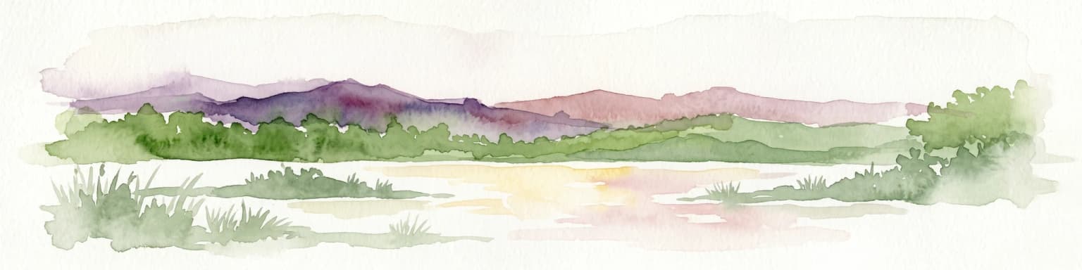
A soft watercolor illustration depicting a landscape of gently rolling hills, trees, and a winding path against a white background.
Natural monumentNueva Esparta
52 km away#1 closest

Northeast

Monumento natural Tetas de María Guevara: Protected Land and Coastal Geography

Analyzing the arid hills and mangrove lagoons of Isla de Margarita

Spanning 1,670 hectares in the Municipio Tubores, Monumento natural Tetas de María Guevara features a distinctive silhouette formed by twin hills. This protected landscape provides critical geographic contrast, pairing dry scrubland terrain with vital coastal wetland systems. The area serves as a significant natural reference point and ecological component within the broader Nueva Esparta island region.

Area
16.7 km²
Established
1974
Relief
Upland
Climate
Arid
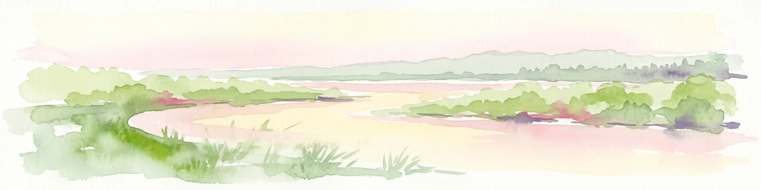
A soft-toned watercolor painting of a calm coastal lagoon with marshy green banks and distant hills against a light sky.
National parkNueva Esparta
57 km away#2 closest

Northeast

Parque nacional Laguna de La Restinga: Protected Coastal Lagoon and Island Geography

Wetland ecosystems of Nueva Esparta, Venezuela

Parque nacional Laguna de La Restinga protects an extensive coastal lagoon bordered by dense mangrove forests and arid coastal scrub on Isla de Margarita. This critical wetland habitat serves as a biological bridge between the two halves of the island, offering a complex network of channels and sandy flats that support diverse coastal species and marine turtle nesting sites.

Area
188.62 km²
Established
1974
IUCN
II
Relief
Lowland
National parkMonagas
59 km away#3 closest

East

Cueva del Guácharo National Park: Venezuela's Protected Natural Landscape

Mapping protected areas and natural terrain in Monagas.

Cueva del Guácharo National Park represents a distinct protected landscape within Venezuela's Monagas region. This entry provides essential context for understanding the park's geographic scope, mapped boundaries, and role as a national park. It is designed to facilitate detailed atlas exploration of protected natural areas and their regional landscape context, offering a foundation for understanding Venezuela's conservation geography.

Area
627 km²
Established
1975
IUCN
II
Relief
Mountain
A stylized digital illustration of mountainous terrain with green slopes and coastal views under a soft sky.
National parkNueva Esparta
65 km away#4 closest

Northeast

Cerro El Copey National Park: Mapped Protected Area in Nueva Esparta

Explore the geographic context and landscape of this national park.

Cerro El Copey National Park offers a distinct protected landscape within Nueva Esparta, Venezuela. This page details the park's geographic identity, its mapped boundaries, and its significance as a national park. Investigate the terrain and regional context to understand the protected area's ecological and geographical footprint, providing essential data for atlas-driven exploration.

Area
71 km²
Established
1974
IUCN
II
Relief
Mountain
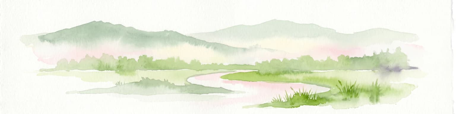
Watercolor painting of a lagoon surrounded by green vegetation and mountains in the background
National parkMiranda State
97 km away#5 closest

West

Laguna de Tacarigua National Park: Protected Area and Miranda State Geography

Mapped natural landscape and park boundaries in Venezuela.

Laguna de Tacarigua National Park is a designated national park offering critical protected landscape features within Miranda State. This park provides essential context for understanding Venezuela's protected areas, with a focus on its mapped boundaries and regional geographic setting. Dive into the atlas-style details to comprehend its place in the natural landscape.

Area
391 km²
Established
1974
IUCN
II
Relief
Lowland
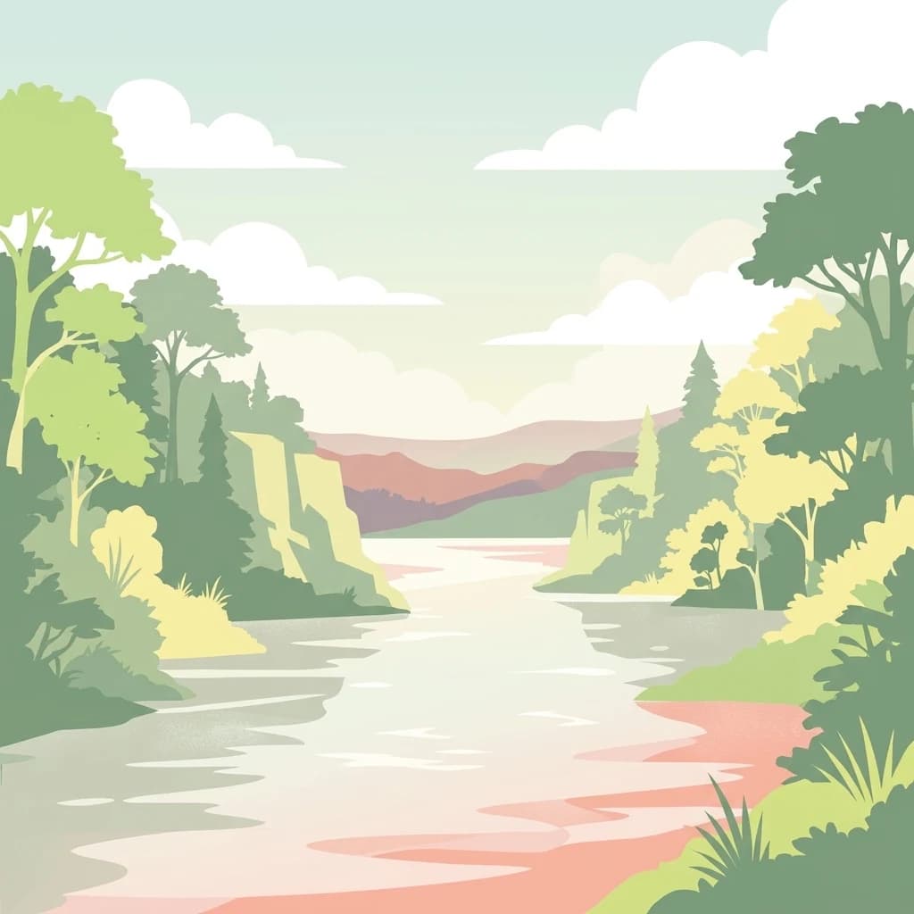
A stylized, flat-color digital illustration of a calm river flowing through a lush, forested valley under a soft cloudy sky.
National parkSucre State
122 km away#6 closest

Northeast

Turuépano National Park: National Park Protected Landscape and Geographic Context

Explore the mapped boundaries and natural terrain of Sucre State's national park.

Investigate Turuépano National Park, a protected national park situated within Sucre State, Venezuela. This entry provides detailed geographic context and information on its mapped protected-area boundaries, essential for understanding its role in the region's natural landscape atlas. Explore the specific terrain and protected land features that define this significant Venezuelan park.

Area
726 km²
Established
1991
IUCN
II
Relief
Lowland
Watercolor painting showing a winding river flowing through a landscape with rolling hills in the background
National parkVenezuela
159 km away#7 closest

West

El Ávila National Park: Venezuela's Premier Coastal Mountain National Park Exploration

Discover diverse terrain, mapped boundaries, and unique geographic context.

El Ávila National Park offers an exceptional gateway into Venezuela's mountainous protected landscapes. This national park features a dramatic rise from the Caribbean coast into varied terrain, including unique cloud forest and alpine zones. Its mapped geography showcases steep slopes, deep ravines, and remarkable elevation changes, providing a significant atlas-style study of coastal mountain environments. Exploring El Ávila National Park reveals a vital natural barrier and a rich ecosystem supporting diverse flora and fauna, making it a key destination for understanding regional protected areas.

Area
819 km²
Established
1958
IUCN
II
Relief
Mountain
Natural monumentMiranda
About 164 km away#8 closest

West

Monumento natural Cueva Alfredo Jahn: Exploring Protected Limestone Caves in Miranda

Geology, karst topography, and cave system mapping

Monumento natural Cueva Alfredo Jahn serves as a primary geological research site and protected natural area in the Serranía Litoral. The cave system, shaped by perennial waterways, features significant calcite formations and mineral rarity. Examine the mapped extent, elevations, and landscape context of this central Venezuelan cave complex.

Area
0.58 km²
Established
1978
IUCN
III
Visitors
3.5K annual
MoriAtlas Explorer

Continue exploring Mochima National Park's geography and mapped protected areas

Deepen your understanding of Mochima National Park by tracing its protected landscape boundaries and regional geographic significance. This is an ideal entry point for atlas-based discovery of Venezuela's conservation areas, offering a structured approach to appreciating the mapped context of national parks and their environments.