Mori Atlas logo
Park earthquake history

A detailed historical catalogue of epicentres identified near this protected landscape

Recorded Seismic Activity and Earthquake History Near Mosenberg bei Homberg Nature Reserve

This historical catalogue compiles recorded earthquake data associated by epicentre distance with Mosenberg bei Homberg. Users can browse chronological events, magnitude measurements, and depth data for seismic activity documented within the surrounding Schwalm-Eder-Kreis geography. The records provide a transparent view of historical seismic events to support geographical research and mapping within the park vicinity.

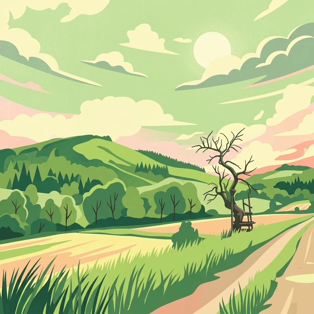
A digital illustration showing a green landscape with rolling hills, a dirt path, and a leafless tree with a wooden structure hanging from it under a cloudy sky.

A basalt-scree protected landscape in northern Hesse preserving old oak-hornbeam forest, lean grasslands, and rare breeding birds.

Mosenberg bei Homberg

Mosenberg bei Homberg is a small nature reserve in the Schwalm-Eder district of northern Hesse, Germany, lying on the southwestern flanks of the Mosenberg hill near the town of Homberg (Efze). The protected area consists of two parts that together cover roughly 64 hectares and is co-designated as an EU Habitats Directive (FFH) site of the same name. The reserve protects a mosaic of habitats that grew out of centuries of traditional land use: partly scrubbed-over nutrient-poor grasslands, extensively used meadows, scattered field copses, and small deciduous woodland patches. On the basalt rubble slopes leading up to the ruined Sauerburg castle, the woodland has survived as a light, species-rich oak-hornbeam forest with a high share of valuable hardwoods and abundant deadwood. Beyond its ecological value, Mosenberg bei Homberg is recognized as an important breeding and foraging area for characteristic bird species of Germany's warm-dry slope landscapes, including red-backed shrike, black woodpecker, and peregrine falcon. The site illustrates how historic coppice woodland and wood-pasture systems can be preserved as living, working cultural landscapes.

Location
Germany
Park type
Nature reserve
Established
1986
Area
0.6 km²
Highest point
438 m
Mosenberg bei Homberg Nature Reserve Atlas

Search Mosenberg bei Homberg events by depth and distance

Review recorded earthquakes around Mosenberg bei Homberg

Mosenberg bei Homberg’s earthquake view positions reported epicentres around the northern Hessian reserve through calculated distance, separating the records from basalt scree, hill slopes, and protected habitats. Dates, magnitudes, depths, localities, sources, and site distances support historical comparison without claiming landscape effects, boundary occurrence, current hazard, or future activity.

Sort by
Magnitude
Location

This page describes catalogued earthquakes associated with the park by epicentre location and distance. It does not establish causation, assess current danger, or predict future earthquakes.

No earthquake records match the current filters

Park atlas

Move past Mosenberg bei Homberg earthquake data

Discover other protected parks beyond Mosenberg bei Homberg

From Mosenberg bei Homberg’s earthquake record, continue to protected landscapes with independent profiles and conservation contexts. Their appearance does not establish common basalt scree, oak-hornbeam forest, Hesse geography, or legal protection, and it implies no matching earthquake history, geological setting, proximity, present seismic significance, hazard, or risk.
A horizontal watercolor painting of a serene lake bordered by a shoreline with trees and distant rolling hills against a soft background.
Nature reserveSchwalm-Eder-Kreis
About 3 km away#1 closest

Northeast

Goldbergsee Nature Reserve and Mapped Protected Landscapes in Schwalm-Eder-Kreis

Ecological transition and inland water-body geography.

Goldbergsee stands as a prime case study of industrial renaturalization in northern Hesse. This protected nature reserve, characterized by its clear spring-fed water and successional woodland habitat, offers a window into how former open-cast mining sites evolve into ecologically balanced water bodies within the Schwalm-Eder-Kreis mountain foothills.

Established
1991
A watercolor painting showing a soft, stylized landscape of green hills, a winding stream, and coniferous forest sections under a pale sky.
Nature reserveHesse
About 3.7 km away#2 closest

Southeast

Eichelskopf Nature Reserve: Protected Geological and Historical Landscapes in Hesse

Regional conservation profile and mapped boundaries in Schwalm-Eder.

Examine the conservation history of Eichelskopf, a key nature reserve in the Schwalm-Eder district of Hesse. Established in 1927, this site remains a vital point of interest for understanding the evolution of species protection and geological heritage management in central Germany.

Area
0.027 km²
Established
1927
Scope
Terrestrial
A horizontal watercolor painting depicting a soft-toned, rolling landscape with green meadows, distant tree lines, and a light-filled sky.
Nature reserveHesse
8.6 km away#3 closest

Southeast

Roßbachtal bei Völkershain Nature Reserve: Geography and Protected Valley Landscapes

Stream-fed meadow and forest habitats in Hesse

Located in the Schwalm-Eder-Kreis, Roßbachtal bei Völkershain encompasses a linear valley environment within the Knüllgebirge. The reserve tracks the Roßbach stream as it moves toward the Breitenbach, featuring a protected alignment of meadows and slopes that serves as a focused habitat management area in central Germany.

Area
1.141 km²
Established
1988
IUCN
IV
A watercolor painting showing a tranquil lake shore with soft green vegetation and distant muted hills.
Nature reserveSchwalm-Eder-Kreis
9.1 km away#4 closest

West

Borkener See Nature Reserve: Geographic Overview of a Reclaimed Wetland and Bird Sanctuary

A protected landscape featuring oligotrophic lake waters in Schwalm-Eder-Kreis.

Borkener See serves as a focal point for understanding the reclamation of mining landscapes in northern Germany. As an officially protected nature reserve, it provides a stable habitat for migratory bird species, with deep water basins and carefully managed wetland buffers defining its physical and ecological presence in the Westhessische Senke.

Area
3.5 km²
Established
1990
Relief
Lowland
Climate
Temperate
A soft, panoramic watercolor painting depicting a green floodplain with a winding river, scattered trees, and rolling hills in the distance.
Nature reserveSchwalm-Eder-Kreis
13 km away#5 closest

East

Fuldatal bei Konnefeld: Protected Floodplain and Wetland Geography in Schwalm-Eder-Kreis

An essential river valley habitat and nature reserve in northern Hesse

Fuldatal bei Konnefeld is a compact, high-value nature reserve situated along the Fulda river valley. The landscape is defined by its old river oxbows, soft-wood forest galleries, and species-rich hay meadows. This resource provides a focused geographic overview of its protected status as a Natura 2000 site and its function as a vital wildlife corridor.

Area
0.169 km²
Established
1989
IUCN
IV
Relief
Lowland
A watercolor painting showing a wide, panoramic view of soft, rolling hills with patches of forest, rendered in muted pastel colors.
Protected landscapeHesse
About 15 km away#6 closest

South

Naturpark Knüll: Geography, Basalt Formations, and Protected Areas of Northern Hesse

An expansive cultural landscape defined by volcanic ridges and riverine habitats

Naturpark Knüll offers a deep look into the geological and structural diversity of the Knüllgebirge. By mapping the transitions between bunter sandstone, basalt hilltops, and fertile floodplains, this resource highlights the region's role in biodiversity conservation and sustainable land management across the Schwalm-Eder and Hersfeld-Rotenburg districts.

Area
832.58 km²
Established
2021
Relief
Mountain
Climate
Temperate
A watercolor illustration showing a winding river flowing through a grassy field, with a cluster of green trees on the right and soft pink and gray hills in the background.
Nature reserveGermany
About 16 km away#7 closest

East

Kiesgrube bei Baumbach Nature Reserve: River Meander and Wetland Geography in Germany

A preserved riparian landscape and bird habitat in northern Hesse

Located along the middle Fulda, this nature reserve represents an engineered success story where a former quarry transformed into a vital wetland ecosystem. Its shallow lake margins, willow thickets, and floodplain forests create a critical protected area for local waterbird populations, serving as an essential node within the Auenverbund Fulda floodplain conservation network.

Area
0.23 km²
Established
1995
Relief
Lowland
Climate
Temperate
A minimalist watercolor painting of rolling hills and a stream, using soft greens, purples, and pale yellows on a white background.
Protected landscapeHesse
About 19 km away#8 closest

Northwest

Naturpark Habichtswald: Protected Landscape and Basalt Terrain Atlas in Northern Hesse

Exploration of forested ridges and medieval castle ruins.

Explore the geographic identity of Naturpark Habichtswald, a prominent protected landscape in northern Hesse. This record covers the park's volcanic basalt hills, broad wooded ridges, and the diverse historical ruins that define its unique topographic character across the Habichtswälder Bergland.

Area
474.28 km²
Established
1962
Relief
Mountain
Climate
Temperate
MoriAtlas Explorer

Continue Exploring the Protected Landscape of Mosenberg bei Homberg

Deepen your understanding of the Mosenberg bei Homberg nature reserve by examining its specific mapped boundaries and ecological terrain. Through MoriAtlas, trace the transition from open lean grasslands to deadwood-rich oak-hornbeam forests in this significant Schwalm-Eder-Kreis protected area.