South
Alpine National Park
Mapping significant alpine, subalpine, and mountain wilderness landscapes.
Alpine National Park, in Australia. Landscapes: mountains, forests, and woodlands.
- Area
- 6,474 km²
- Established
- 1989
- IUCN
- II
- Relief
- Mountain
Review documented seismic event data including magnitude, depth, and epicentre proximity
This catalogue provides a structured overview of recorded earthquake events associated by epicentre distance with Mount Buffalo National Park. Users can examine historical seismic activity through data points including event date, magnitude, and precise location within the Victorian Alps. These records reflect reported ground movement data sourced from established seismic monitoring, providing a clear geographic perspective on the region through an atlas-focused, factual lens.

Victoria's ancient granite plateau with dramatic rock formations and alpine wilderness
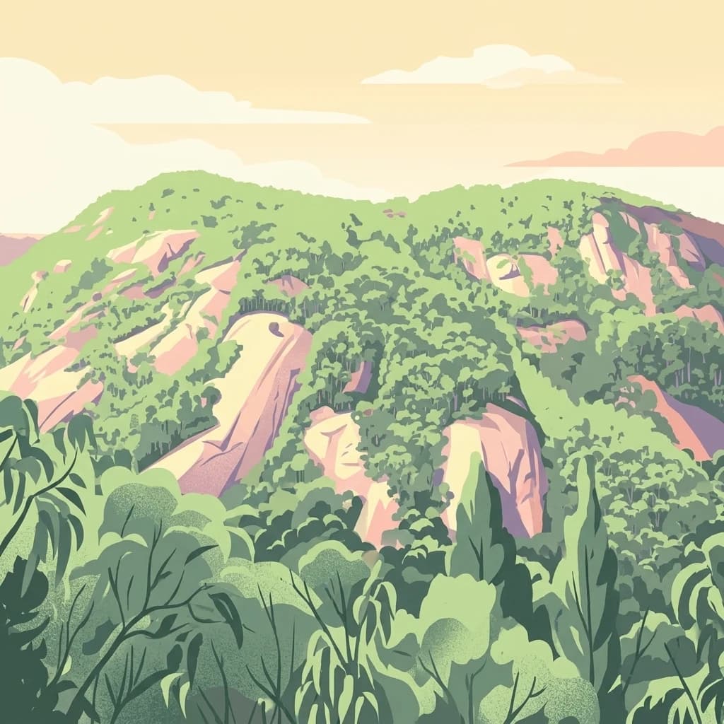
Mount Buffalo National Park is a historic protected area in the alpine region of northeastern Victoria, Australia. Established in 1898, it ranks among the oldest national parks in Australia and encompasses a distinctive granite plateau rising to 1,723 metres above sea level. The park covers approximately 31,000 hectares of mountainous terrain in the Australian Alps, situated roughly 350 kilometres northeast of Melbourne. The landscape is defined by striking granite boulders, dramatic rock formations, and the prominent peak known as The Horn, which offers panoramic views across the surrounding alpine country. The park protects a range of ecosystems from foothill forests through sub-alpine woodlands to alpine grasslands, making it ecologically significant within Victoria's mountain estate.
Navigate Mount Buffalo National Park events and distances
The Mount Buffalo National Park catalogue relates earthquake reports to its granite plateau and alpine environment through epicentre position and measured park distance. Record-level timing, magnitude, depth, locality, separation, and source evidence support a traceable regional history without assigning every event within the boundary, attributing cause or effects to rock formations, or presenting a hazard forecast.
This page describes catalogued earthquakes associated with the park by epicentre location and distance. It does not establish causation, assess current danger, or predict future earthquakes.
No earthquake records match the current filters
Move from Victoria's granite plateau to other protected terrain

South
Mapping significant alpine, subalpine, and mountain wilderness landscapes.
Alpine National Park, in Australia. Landscapes: mountains, forests, and woodlands.

North
Explore its protected areas and regional geographic context.
Chiltern-Mt Pilot National Park preserves a significant portion of Victoria's box-ironbark forest, an ecosystem vital for threatened species and rich biodiversity. This park showcases varied terrain, from sedimentary hills to granite landscapes, offering a compelling subject for geographic study. Understand its mapped extent and its role within the broader regional geography, providing deep insights for atlas-based exploration.

Northwest
Discover its Box-Ironbark forests and mapped regional terrain.
Warby-Ovens National Park is a protected national park situated in northeastern Victoria, Australia, covering 14,655 hectares of distinctive landscape. It is internationally recognized as an Important Bird Area, primarily for its significant Box-Ironbark forest ecosystem that supports numerous threatened woodland bird species. The park's geography features low granite hills and rolling terrain, with the Ovens River flowing through its northern section. This detail page provides structured information on its protected boundaries, natural landscape characteristics, and its place within regional geography.

Northwest
Protected landscape identity and geographic context.
Gain a structured understanding of Murray Valley National Park, a designated national park within New South Wales. This detail page provides essential geographic context, highlighting the park's mapped boundaries and its significance as a protected natural landscape. Utilize this entry point for comprehensive atlas-based exploration of its unique regional setting and terrain.

Southwest
Explore mapped terrain and diverse eucalypt forests.
Lake Eildon National Park in Victoria's Central Highlands offers a unique protected landscape shaped by ancient volcanic activity and the region's gold rush era. This national park, centered around the large Lake Eildon reservoir, provides critical habitat within its diverse eucalypt forests. Discover its geological significance, historical mining sites, and mapped boundaries, offering a comprehensive view of its protected-area identity and regional geographic context.
South
A remote wilderness reserve in the Victorian Alps highlands.
Avon Wilderness Park spans forty thousand hectares of continuous, roadless mountain forest and sub-alpine woodland. Serving as a crucial link in the Australian Alps conservation network, the reserve is characterized by steep, dissected terrain and tall eucalyptus canopy, preserved in an entirely undeveloped state without internal roads or infrastructure.

Northeast
Explore its mapped boundaries and unique regional geography.
Burrowa-Pine Mountain National Park stands as a prominent protected wilderness in Victoria, Australia, renowned for its spectacular geological features. The park is dominated by the colossal Pine Mountain, a massive sandstone monolith that commands the landscape, and the elevated Mount Burrowa, offering expansive vistas across the Victorian Alps. Its mountainous terrain, characterized by rocky ridgelines and alpine forests, makes it a distinctive destination for understanding Australia's natural and geographic heritage. Discover the mapped extent and landscape character of this important national park.

North
Explore mapped terrain and woodland ecosystems.
Benambra National Park serves as a key protected area in New South Wales, preserving crucial white box and Red Box woodland communities against a backdrop of the Great Yambla Range's dramatic topography. This national park is significant for its role in conserving habitat for at least twelve threatened bird species and its unique geological features, including cliff faces and flat-topped peaks. Understanding the park's mapped boundaries and its place within the South West Slopes region offers valuable context for geographic discovery and the study of Australia's natural landscapes.
Delve deeper into the geographic identity of Mount Buffalo National Park, understanding its role as a significant protected area within Victoria's alpine region. Examine the mapped terrain and landscape context that define this historic national park. Continuing this exploration will provide valuable insights into the park's unique geological features and its position within the broader atlas of Australian natural landscapes.