Mori Atlas logo
Park earthquake history

A catalogue of documented seismic events associated with the geography of Northern Samsø

Recorded Seismic Activity and Historical Earthquake Records for the Nordby Bakker Protected Area

This collection provides a structured historical archive of recorded seismic events associated by epicentre distance with the landscape of Nordby Bakker. The provided data includes event dates, magnitudes, and focal depths to offer a transparent record of recorded movement near this Danish terminal moraine. Review historical occurrences within the surrounding region to understand the documented seismic activity associated with this location over time.

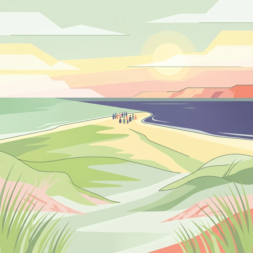
A minimalist, flat-style illustration depicting a coastal landscape with green, rolling dunes in the foreground leading toward a sandy point between two bodies of water. A small group of people is visible standing on the sandy point. The background features a soft sunset sky.

A large glacial hill landscape and coastal heathland on northern Samsø, protecting rare dry calcareous grassland.

Nordby Bakker

Nordby Bakker is a Natura 2000 protected landscape located at the northern end of the Danish island of Samsø, in the central Kattegat. It is built around a prominent terminal moraine formed at the edge of the Great Belt glacier at the close of the last ice age, with the highest point, Ballebjerg, reaching about 64 meters above sea level. The area stretches from the headland of Issehoved in the north along the northwestern coast to Asmindør Hage, and includes roughly 628 hectares of varied coastal and inland terrain. The defining feature of Nordby Bakker is one of Denmark's largest continuous dry grassland complexes, covering approximately 500 hectares, together with coastal cliffs, lime-rich beach ridges, dunes, and several small nutrient-rich lakes. Because Samsø receives comparatively little rainfall, the warm and dry hillsides support a flora rich in plant species that are rare elsewhere in Denmark, along with several red-listed insects tied to the open calcareous grasslands. The site is jointly managed by the Danish Nature Agency and Samsø Municipality under the European Habitats Directive, with the first formal conservation protections dating back to 1949. Beyond its biodiversity value, Nordby Bakker is a defining element of the northern Samsø landscape, where glacial history, dry grassland ecosystems, and Baltic coastal scenery meet.

Location
Denmark
Park type
Protected area
Area
6.3 km²
Highest point
64 m
Nordby Bakker Protected Area Map

Review Nordby Bakker records by date and distance

Search historical earthquake observations in the Nordby Bakker area

Nordby Bakker spans 6.28 km² of Danish island upland, reaching 64 metres and mixing hills, cliffs, dunes, coast, wetlands, lakes, grassland, and sparse forest. Review linked earthquakes through their dates, magnitudes, depths, source locations, and measured distance to this mixed protected area rather than assuming that a catalogue association shows coastal impact or an in-boundary epicentre.

Sort by
Magnitude
Location

This page describes catalogued earthquakes associated with the park by epicentre location and distance. It does not establish causation, assess current danger, or predict future earthquakes.

No earthquake records match the current filters

Park atlas

Continue beyond Nordby Bakker earthquake history to more parks

Explore more protected destinations after Nordby Bakker records

Nordby Bakker covers 6.28 km² of Danish hills, cliffs, forest, grassland, wetlands, lakes, coast, dunes, and islands up to 64 metres under mixed protection. Its related pages do not imply shared coastal geology, environmental effects, present danger, or future events.
A minimalist watercolor painting showing a horizontal landscape of green islands and shoreline against a white background.
Protected areaDenmark
2.1 km away#1 closest

Southeast

Stavns Fjord Protected Area: An Atlas of Danish Coastal Landscapes

Mapping the islands and tidal flats of Samsø

Stavns Fjord offers a rare glimpse into a sheltered coastal landscape set entirely within the island of Samsø. Characterized by its calm waters, shallow tidal flats, and the curving spit of Besser Rev, this protected site is a critical Ramsar wetland habitat for coastal bird populations. Explore the unique geography and layered history, from Viking canals to medieval fortifications, that define this essential Danish protected area.

Area
20 km²
Established
1926
Relief
Lowland
Access
Moderate access
Nature reserveRegion Midtjylland
About 8 km away#2 closest

Southeast

Natura 2000-område nr. 55 Stavns Fjord, Samsø Østerflak og Nordby Hede Protected Landscapes

Coastal lagoons and glacial islands in Region Midtjylland

Gain insight into the expansive marine and terrestrial geography of this protected site. The area spans a diverse mosaic of salt meadows, dunes, and shallow reefs while supporting critical habitats for waterbirds and seals within the Kattegat sea.

Area
156.63 km²
Established
1981
Relief
Lowland
Climate
Temperate
A horizontal watercolor painting depicting a soft, rolling landscape with green grassy fields, small clusters of trees, and tall grasses in the foreground.
Protected areaCentral Denmark Region
8.1 km away#3 closest

Southwest

Horsens Fjord, havet øst for og Endelave: Protected Coastal Landscape and Map Context

Mapping island habitats, reefs, and fjord geography in Denmark

Examine the geographic composition of Horsens Fjord, havet øst for og Endelave, a significant Natura 2000 site. This protected area connects inland fjord waters to open Kattegat coastlines, featuring a chain of islands, tidal sand flats, and submerged stone reefs that define this distinct ecological region.

Area
458.23 km²
Established
2011
Relief
Lowland
Climate
Temperate
Watercolor illustration showing rolling hills, a lake, pink flowering trees, and distant mountains
National parkDenmark
16 km away#4 closest

North

Mols Bjerge National Park: Glacial Geography and Protected Terrain in Central Jutland

Mapping the coastal cliffs and rolling heathland of Denmark

Mols Bjerge National Park protects a sweeping mosaic of glacial hills, woodlands, and coastal zones on the Djursland peninsula. With a landscape shaped by ancient ice sheets, the park offers a detailed view into Denmark's geological history, preserved ancient barrows, and rich botanical diversity along the Kattegat sea.

Area
180 km²
Established
2009
IUCN
II
Relief
Upland
A horizontal watercolor illustration showing a calm coastal bay with grassy banks, winding water channels, and rolling hills in the background under a soft yellow sky.
Protected areaRegion Midtjylland
About 17 km away#5 closest

North

Natura 2000-område nr. 51 Begtrup Vig og kystområder ved Helgenæs Geography and Maps

Coastal grasslands and marine habitats in Region Midtjylland

Examine the complex terrain of Natura 2000-område nr. 51 Begtrup Vig og kystområder ved Helgenæs, an expansive protected area characterized by its diverse coastal cliff systems and large calcareous grasslands. This site documents the evolution of the Kattegat shoreline through its unique recurved spits and lifted seabed formations, providing a window into the natural landscape history of the Helgenæs peninsula.

Area
17.71 km²
Established
2011
Relief
Lowland
Climate
Temperate
Protected areaRegion Midtjylland
17 km away#6 closest

West

Kysing Fjord Protected Area: Coastal Lagoon and Saltmarsh Geography in Region Midtjylland

Mapped coastal lagoon and wetland protected area

Kysing Fjord serves as a significant coastal lagoon system on the eastern Jutland coast. This protected area in Region Midtjylland integrates shallow lagoon waters, saltmarsh meadows, and riverine terrain, offering a precise look at managed coastal landscapes and their ecological importance for wintering bird populations.

Area
3.7 km²
Established
1942
Relief
Lowland
Climate
Temperate
Watercolor painting of a calm coastal bay with soft, layered green hills in the distance and a pale shoreline in the foreground.
Protected areaDenmark
About 17 km away#7 closest

North

Begtrup Vig Protected Area: Glacial Terrain and Coastal Geography in Denmark

Coastal landscape and regional protected area mapping

Begtrup Vig is a distinct coastal bay defined by its glacial history, stretching across the southern Djursland peninsula in Denmark. Within the broader Mols Bjerge national park framework, the area features varied topography including stony shores, sandy coves, and pastoral meadows. This record provides a focused look at the environmental boundaries and geographic significance of this protected habitat, bridging natural terrain with the regional landscape context.

Relief
Upland
Scope
Mixed
Water
Water-dominated
Season
Year-round
Nature reserveRegion Midtjylland
23 km away#8 closest

North

Tved Kær Nature Reserve: Protected Coastal Habitat Geography in Region Midtjylland

Exploring lime-rich fens and coastal cliff terrain.

Tved Kær represents a compact but ecologically dense protected area in Denmark, known for its rare calcareous fen and seepage vegetation. Situated near the village of Tved, this nature reserve integrates coastal cliffs and raised seabed to form a distinct habitat mosaic within the Mols peninsula, serving as a vital site for rare orchid species and lime-rich soil preservation.

Area
0.06 km²
Established
1981
Relief
Lowland
Climate
Temperate
MoriAtlas Explorer

Explore the Glacial Terrain and Protected Ecosystems of Nordby Bakker

Trace the mapped boundaries and natural features of Nordby Bakker to understand its role as a key conservation site in the Kattegat. MoriAtlas provides a clear look at how glacial history shaped this unique coastal landscape, making it an essential destination for analyzing the regional geography of Region Midtjylland and beyond.

Global natural geography