Mori Atlas logo
Park earthquake history

A structured repository of recorded events associated by proximity to the Arctic wilderness boundaries.

Historical Earthquake Records and Seismic Data for Northeast Greenland National Park

Explore the comprehensive catalogue of historical seismic events linked to the geographic extent of Northeast Greenland National Park. This record provides detailed event documentation including magnitude and depth, derived from USGS datasets to show the history of activity occurring near the world's largest protected Arctic landscape.

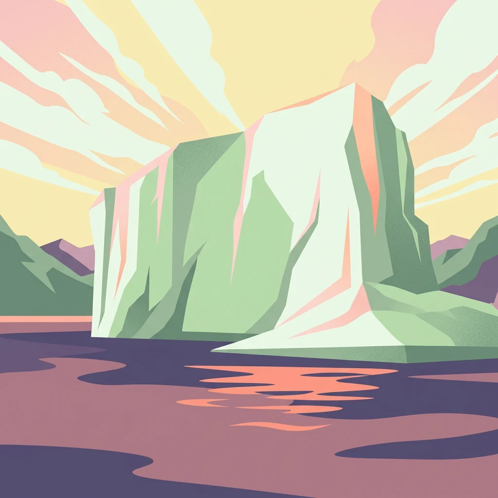
Illustrated iceberg with green and white tones floating in water, with mountains and a pastel sky in the background.

World's largest national park, a vast Arctic wilderness protecting Greenland's northeastern interior and coast

Northeast Greenland National Park

Northeast Greenland National Park stands as the world's largest national park, encompassing an extraordinary 972,000 square kilometers of Arctic wilderness along Greenland's northeastern coast and interior. Established in 1974 and expanded to its present size in 1988, this vast protected area spans a landscape of dramatic contrasts — from the massive Greenland Ice Sheet in the interior to rugged coastal fjords, ice-free highlands, and some of the northernmost land areas on Earth. The park represents one of the most pristine Arctic environments remaining on the planet, with no permanent human population and among the lowest visitor numbers of any national park worldwide. Its ecological significance is profound, protecting critical habitat for musk oxen, polar bears, walrus, and numerous Arctic bird species within a landscape of unparalleled remoteness and wilderness character.

Location
Greenland
Park type
National park
Established
1974
Area
972,000 km²
Northeast Greenland National Park Protected Landscape

Examine historical seismic events by epicenter distance, recorded magnitude, and depth.

Recorded Earthquakes and Seismic History near Northeast Greenland National Park

Geographic records outline historical seismic events located within a measured radius of Northeast Greenland National Park based on calculated epicenter coordinates. Each archived entry provides factual data including origin dates, recorded magnitudes, focal depths, reported locations, calculated park distances, and direct links to original seismic sources.

Sort by
Magnitude
Location

This page describes catalogued earthquakes associated with the park by epicentre location and distance. It does not establish causation, assess current danger, or predict future earthquakes.

No earthquake records match the current filters

Park atlas

Continue your global discovery with maps and facts for additional nature reserves

Explore More Protected Landscapes Beyond Northeast Greenland National Park

Transitioning from the polar geography of Northeast Greenland National Park opens up a world of diverse protected landscapes across different continents. Comparing different mapped territories allows researchers and travelers to study distinct conservation boundaries, regional climates, and physical terrain variations.
National parkNunavut
17 km away#1 closest

Northwest

Quttinirpaaq National Park: A Detailed Look at its Protected Landscape and Nunavut Geography

Mapped boundaries and regional context for this significant Arctic national park.

Gain a comprehensive understanding of Quttinirpaaq National Park, a protected national park located in the expansive region of Nunavut, Canada. This resource delves into the park's geographic identity, its mapped contours, and its position within the broader arctic landscape context. It is designed to support atlas-based exploration and a detailed appreciation of this protected area's unique setting within Northern Canada's geography.

Area
37,775 km²
Established
1988
IUCN
II
Visitors
7 annual
National parkSvalbard
About 457 km away#2 closest

Northeast

Nordvest-Spitsbergen National Park: Protected Arctic Landscape and Geographic Atlas

Explore unique hot springs, glacial terrain, and polar expedition history.

Nordvest-Spitsbergen National Park, a protected national park in Norway's Svalbard archipelago, showcases dramatic Arctic geography. This page details its mapped landscapes, from volcanic terrains and glacial valleys to its famed northernmost hot springs. Discover the park's protected area status, its role in regional geography, and its historical significance for polar exploration, providing a rich context for atlas-based exploration.

Area
9,914 km²
Established
1973
IUCN
II
Relief
Mixed relief
National parkSvalbard
About 528 km away#3 closest

Northeast

Forlandet National Park: High Arctic Protected Landscape and Global Wildlife Limits

Explore mapped geography and protected ecosystem boundaries in Svalbard.

Forlandet National Park stands as a crucial element in the Arctic atlas, safeguarding the island of Prins Karls Forland and its surrounding marine territories. As the world's most northerly national park, it showcases a unique High Arctic landscape defined by stark coastal cliffs and vital waters supporting specialized wildlife. This protected area is recognized for harboring the most extreme northern populations of seals and common guillemots, making it a significant site for understanding polar ecosystems and conservation efforts within the Svalbard region.

Area
4,647 km²
Established
1973
IUCN
II
Relief
Lowland
National park
About 571 km away#4 closest

Northeast

Indre Wijdefjorden National Park: Arctic Steppe and Fjord Protected Landscape Exploration

Mapped protected boundaries and unique terrain in Svalbard.

Discover the unique High Arctic steppe and dramatic fjord landscape of Indre Wijdefjorden National Park, a protected area in Svalbard, Norway. This park safeguards a rare ecosystem with endemic plant species, offering exceptional insights into Arctic geography and protected land conservation. Explore its mapped boundaries and distinct terrain, a key destination for atlas-based landscape discovery.

Area
1,127 km²
Established
2005
IUCN
II
Relief
Mountain
Watercolor illustration of a fjord with mountains, trees, and water bodies
National parkSpitsbergen
About 591 km away#5 closest

Northeast

Nordre Isfjorden National Park: Arctic Coastal Protected Landscape

Discover Spitsbergen's mapped fjord geography and wildlife.

Nordre Isfjorden National Park on Spitsbergen offers a compelling view into a pristine Arctic environment. This protected national park encompasses dramatic coastal cliffs, tundra terrain, and the biologically rich waters of Isfjorden. It is renowned for supporting immense seabird colonies that rely on the nutrient-dense fjord, making it a significant site for understanding high Arctic ecosystems and marine protected areas.

Area
2,954 km²
Established
2003
IUCN
II
Relief
Lowland
National parkSvalbard
About 638 km away#6 closest

Northeast

Sassen, Bünsow Land National Park: A Mapped Arctic Glacial Landscape in Svalbard

Explore protected boundaries and polar terrain.

Sassen, Bünsow Land National Park, located in the heart of Spitsbergen, Norway, showcases a quintessential Arctic wilderness defined by its expansive glacial features and deeply incised valleys. This protected area, part of the Svalbard archipelago, offers rich geographic context through its mapped terrain, highlighting glacial processes that have shaped the landscape. Discover the unique polar environment and the significance of this national park within the broader Norwegian Arctic atlas.

Area
1,230 km²
Established
2003
IUCN
II
Relief
Mountain
National park
About 654 km away#7 closest

Northeast

Van Mijenfjorden National Park: Protected Arctic Fjord Landscape and Geography

Explore Svalbard's mapped glacial terrain and coastal ecosystems.

Van Mijenfjorden National Park offers a vital look into Svalbard's protected natural heritage, focusing on the prominent Van Mijenfjorden. This national park preserves a quintessential Arctic fjord landscape, characterized by dramatic glacial valleys, treeless tundra, and rugged mountain slopes meeting the Barents Sea. Use this atlas entry to comprehend the park's geographic scope, its mapped protected boundaries, and its representative value as a sub-Arctic conservation area within Norway.

IUCN
II
Scope
Mixed
Water
Major water bodies
Watercolor illustration showing a landscape with green fields, a winding path, pink flowers, and mountains in the background
National park
683 km away#8 closest

Southeast

Vatnajökull National Park: Iceland's Expansive Protected Glacier and Volcanic Terrain

Mapped boundaries of a UNESCO World Heritage site dynamic with fire and ice.

Vatnajökull National Park offers a profound exploration of one of Earth's most dynamic natural environments. This Icelandic national park protects the vast Vatnajökull ice cap, a landscape shaped by active volcanoes and powerful glacial forces, creating a region of extraordinary geographic diversity. Discover the mapped terrain, from subglacial mountain ranges to dramatic caldera systems, and understand the unique protected area context of this significant European natural heritage.

Area
14,967 km²
Established
2008
IUCN
II
Relief
Mountain
MoriAtlas Explorer

Continue Exploring the Geography of Northeast Greenland National Park

Delve deeper into the structured geographic context of Northeast Greenland National Park. Understand its immense scale, its position within the Arctic region, and the unique landscape features that define this unparalleled protected area. MoriAtlas provides the mapped details to appreciate its vastness and ecological significance for a comprehensive atlas discovery experience.