Mori Atlas logo
Park earthquake history

A comprehensive catalogue of seismic events mapped by epicentre distance to the nature reserve boundary.

Recorded Historical Earthquake Activity Associated with Ostoja Żyznów in Poland

Review a structured compilation of historical earthquakes documented within the proximity of Ostoja Żyznów. This atlas provides a detailed view of seismic events, including event dates, magnitude readings, and precise distance calculations from the protected landscape of the świętokrzyskie region. Use these records to understand the documented earthquake history across the local geographic surroundings.

Related tags

Natura 2000loess landscapexerothermic grasslandsriver valleyspine forests

A Natura 2000 refuge of loess gorges, xerothermic grasslands, and ancient river valleys in the Świętokrzyskie region.

Ostoja Żyznów

Ostoja Żyznów is a Natura 2000 Site of Community Importance located in the Świętokrzyskie Voivodeship of south-central Poland. Designated under the EU Habitats Directive with the code PLH260036, the area covers roughly 4,480 hectares of protected landscape defined by thick loess deposits, a dense network of dry ravines, and the valley system of the Koprzywianka River and its tributaries. The site spans three physical-geographical mesoregions: the Sandomierska Upland, the Świętokrzyskie Mountains, and the Szydłowskie Foothills, creating a transitional landscape where flat agricultural loess plateaus meet steep gorges, river valleys, and isolated hills. This dramatic relief, cut into old Paleozoic rocks along the deeper valleys, has produced a remarkable mosaic of habitats. Ostoja Żyznów is recognized above all for its combination of xerothermic (warm-dry) grasslands clinging to steep loess slopes, patchy pine and mixed forests, peatlands, oak-hornbeam woodlands, and riparian corridors. These habitats shelter numerous rare and threatened plant and animal species, including several protected under the EU Habitats Directive.

Location
Poland
Park type
Nature reserve
Established
2011
Area
44.8 km²
Highest point
305 m
Ostoja Żyznów Protected Area Geography

Search Ostoja Żyznów records by date and distance

Review historical earthquakes in the area near Ostoja Żyznów

Search historical seismic observations around Ostoja Żyznów, a 44.8003 km² terrestrial reserve in Poland with mixed relief; results connect to the site through mapped separation from each epicentre and provide event date, magnitude, depth, locality, and source details. They do not establish occurrence inside the protected area, explain its terrain, assess damage, or project later earthquakes.

Sort by
Magnitude
Location

This page describes catalogued earthquakes associated with the park by epicentre location and distance. It does not establish causation, assess current danger, or predict future earthquakes.

No earthquake records match the current filters

Park atlas

Explore Ostoja Żyznów earthquake data and more parks

Continue to more protected park places from Ostoja Żyznów

Ostoja Żyznów covers 44.8 km² of Polish mixed relief between 220 and 305 metres, combining mountains, hills, valleys, cliffs, forest, wetlands, lakes, and rivers. The onward park links support geographic comparison of separate earthquake records; they do not establish common substrate, equal impacts, matching exposure, or a current warning.
Protected landscapeTarnobrzeska Dolina Wisły
1.5 km away#1 closest

East

Tarnobrzeska Dolina Wisły Protected Landscape: Mapped Riverine Geography and Habitat Corridor

A sprawling Vistula valley floodplain site in southeastern Poland.

The Tarnobrzeska Dolina Wisły protected area encompasses a 4,060-hectare corridor of rare lowland habitats. This map-focused site highlights an ecologically active river system composed of riparian forests, shifting banks, and extensive wetlands that define the regional geography of the middle Vistula basin.

Area
40.597 km²
Established
2011
Scope
Terrestrial
Water
Major water bodies
Nature reserveŚwiętokrzyskie Voivodeship
About 13 km away#2 closest

Northwest

Małe Gołoborze Nature Reserve: Mapping Cambrian Geology and Forested Ridge Ecosystems

A study of protected terrain in the Świętokrzyskie Voivodeship

Małe Gołoborze Nature Reserve stands as a preserved fragment of the Jeleniowskie Range, showcasing rare surface exposures of Cambrian quartzite sandstones alongside mature deciduous woodland. This entry offers a focused perspective on the reserve's topography, including its signature boulder slope and the valley floor that reveals the underlying geological foundations of central Poland's mountain landscape.

Area
0.216 km²
Established
1994
Relief
Mountain
Climate
Temperate
Protected landscapeŚwiętokrzyskie Voivodeship
15 km away#3 closest

Northwest

Cisowsko-Orłowiński Park Krajobrazowy: Protected Landscape and Geological Atlas

Mapping biodiversity and Paleozoic formations in Świętokrzyskie, Poland

Cisowsko-Orłowiński Park Krajobrazowy stands as a center for biodiversity in southeastern Poland, protecting rare peat-bog forests and 200-year-old tree stands. This atlas profile highlights the park's distinct geological character, from the volcanic rock exposures at Sieraków to the fossil-rich sandstone cliffs at Zalesie, offering insight into the complex mosaic of the Góry Świętokrzyskie foothills.

Area
206.93 km²
Established
1988
Relief
Mountain
Climate
Temperate
Watercolor illustration of rolling hills with green forests in the foreground and purple, green, pink, and yellow mountain ranges in the background
National parkŚwiętokrzyskie Voivodeship
18 km away#4 closest

Northwest

Świętokrzyski National Park: Protected Mountain Terrain in Świętokrzyskie Voivodeship

Geography and landscape mapping for Poland's oldest mountain range

Świętokrzyski National Park encompasses the highest ridges of the Świętokrzyskie Mountains, showcasing a landscape defined by expansive granite boulder fields and primeval fir forests. This atlas entry provides a detailed look at the park's topography, ranging from the prominent Łysica peak to the protected valley floors, highlighting the geological and biological diversity preserved within this central Polish sanctuary.

Area
76.26 km²
Established
1950
IUCN
II
Visitors
168K annual
National parkŚwiętokrzyskie Voivodeship
18 km away#5 closest

Northwest

Świętokrzyski Park Narodowy: Protected Forests and Mountain Geography in Central Poland

A preserved landscape of ancient fir forests and rubble fields

Situated within the Świętokrzyskie Voivodeship, this protected area guards the Łysogóry range and its rare forest associations. The landscape is characterized by its dramatic gołoborza rubble fields and dense mixed-woodland terrain, providing a unique look into the natural geography of the region.

Area
76.26 km²
Established
1950
Visitors
168K annual
Relief
Mountain
Protected areaŚwiętokrzyskie Voivodeship
20 km away#6 closest

North

Wzgórza Kunowskie: Geographic Atlas of an Essential Polish Protected Area and Habitat Mosaic

Mapping riparian forests and inland dunes in Świętokrzyskie

Wzgórza Kunowskie serves as a crucial Natura 2000 site in Poland, blending sand grasslands, oak-hornbeam forests, and riverine floodplains within a compact landscape. This overview analyzes the topographical gradients and habitat distribution that define the area, from elevated dunes to the moisture-rich valley floors of the Świętokrzyskie region, reflecting the interplay between sandy substrate and river regulation.

Area
18.687 km²
Water
Major water bodies
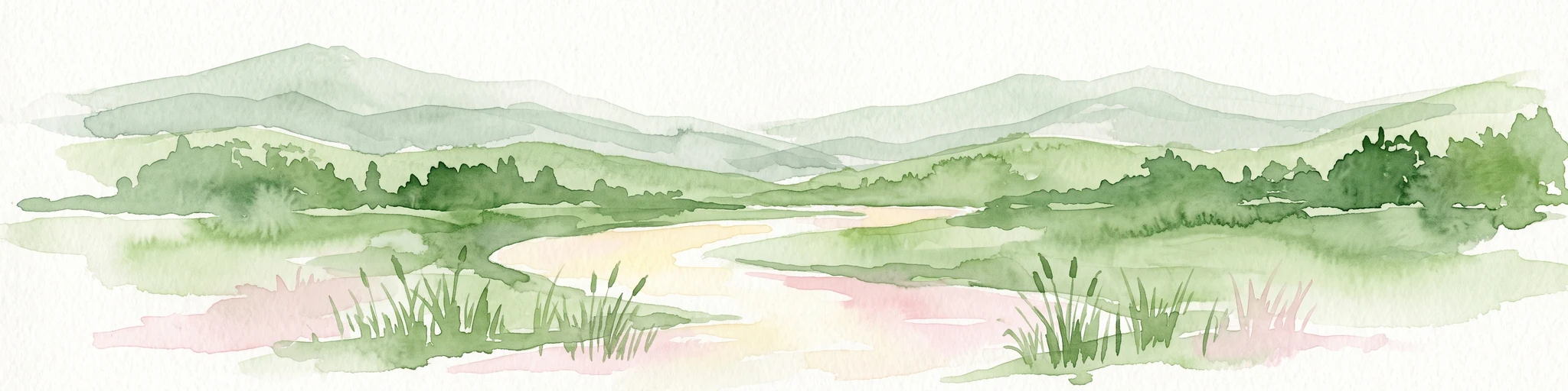
Watercolor illustration of a winding stream flowing through a green valley with rolling hills in the background and reeds in the foreground.
Nature reservePoland
About 21 km away#7 closest

Southeast

Rezerwat przyrody Dolina Smarkatej: Protected River Landscape and Wetland Geography in Poland

Mapping fluvial corridors in the Sandomierz Forest

Rezerwat przyrody Dolina Smarkatej protects a unique stretch of free-flowing lowland river in southeastern Poland. This nature reserve sustains critical wetland ecosystems, including oxbow lakes and peat bogs, while providing a protected corridor for freshwater biodiversity within the broader Sandomierz Forest region.

Area
0.559 km²
Established
2024
Protected landscapeŚwiętokrzyskie Voivodeship
30 km away#8 closest

West

Szaniecki Park Krajobrazowy: Protected Landscape Atlas and Regional Map Context

Exploring xerothermic habitats across the Ponidzie plateau

Szaniecki Park Krajobrazowy anchors conservation efforts across the Płaskowyż Szaniecki and the Garb Pińczowski ridge. This detailed profile tracks the regional geography, calcareous soil influence, and the protection of rare steppe flora within the broader Świętokrzyskie Voivodeship landscape framework.

Area
112.896 km²
Established
1986
Relief
Upland
Climate
Temperate
MoriAtlas Explorer

Continue Exploring the Protected Landscapes and Geography of Ostoja Żyznów

Deepen your understanding of the Ostoja Żyznów nature reserve through a detailed examination of its loess terrain, river-carved valleys, and diverse habitat mosaic. MoriAtlas provides a structured geographic overview of this critical protected area, allowing for clearer analysis of its boundaries and unique ecological setting within the broader Polish landscape.