

Mori Atlas logo
Park earthquake history

Explore recorded seismic activity and event data for the Paluma Range geographic region

Historical Earthquake Records Associated with Paluma Range National Park in Queensland

This catalogue provides a transparent view of recorded earthquake events with epicentres identified near the boundaries of Paluma Range National Park. Each entry includes specific details regarding event date, magnitude, depth, and distance from the park, sourced from geological records to assist with geographic study and landscape analysis. This collection serves as a factual resource for understanding seismic occurrences in this northern Queensland mountain environment.

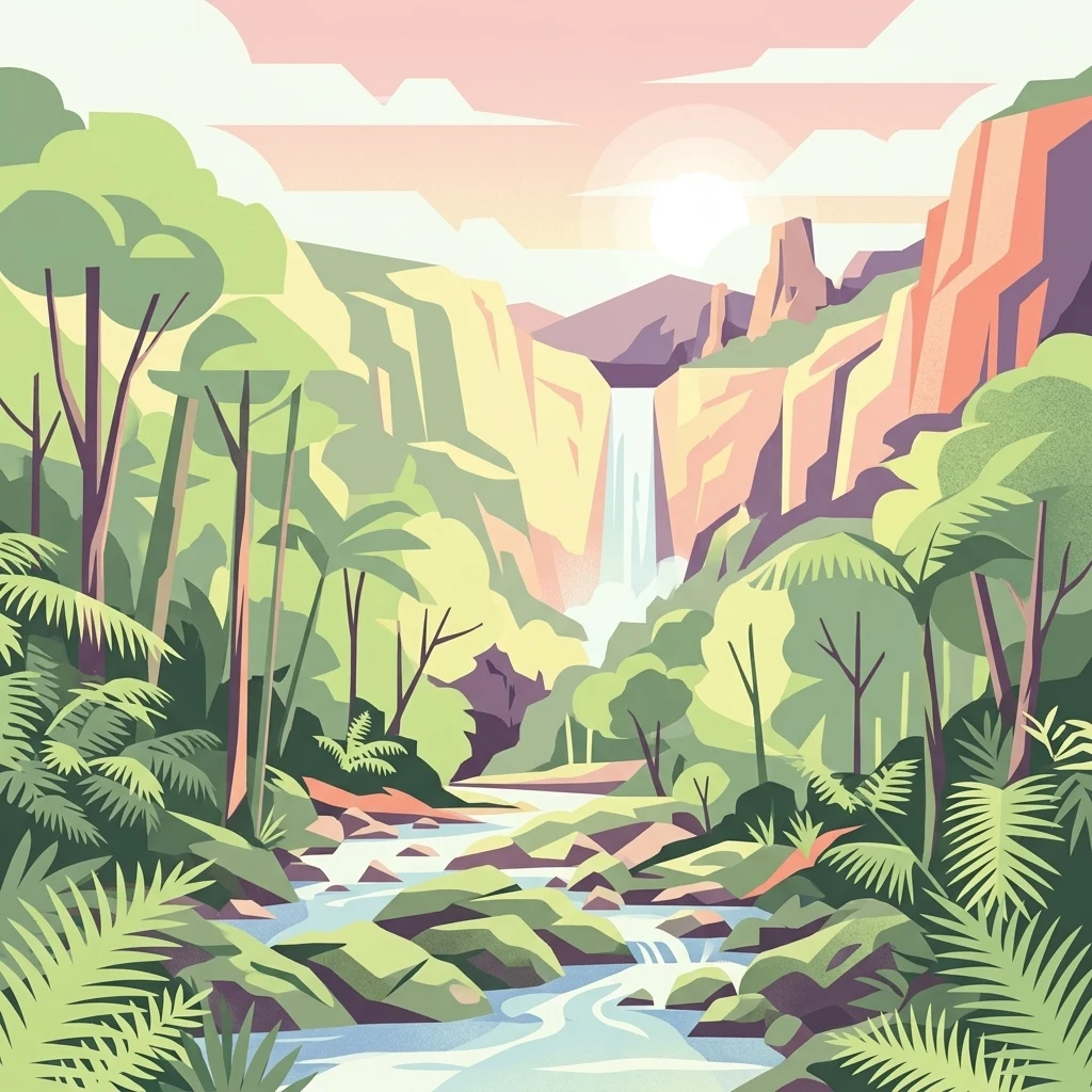
An illustration of a waterfall flowing through a forested valley with rocky cliffs, a stream, and dense vegetation under a partly cloudy sky

Mountain rainforest sanctuary protecting Queensland's southern cassowary populations

Paluma Range National Park

Paluma Range National Park is a protected mountain area in north Queensland, Australia, situated between the coastal cities of Townsville and Ingham. The park encompasses approximately 172 square kilometers of rugged terrain within the Paluma Range, featuring dramatic waterfalls, pristine creeks, and Lake Paluma, a natural reservoir formed by damming. Established in 1994 and significantly expanded in 2010, the park protects one of the most ecologically significant areas in northern Queensland, lying within the Paluma Important Bird Area recognized by BirdLife International. The park's elevation and moist conditions support subtropical rainforest and wet sclerophyll forests that harbor remarkable biodiversity, including the vulnerable southern cassowary, which reaches its southernmost population stronghold in this region. The park is managed by the Queensland Parks and Wildlife Service and offers visitors access to scenic waterfalls including Jourama Falls and Birthday Creek Falls.

Location
Australia
Park type
National park
Established
1994
Area
172 km²
Paluma Range National Park Atlas

Compare Paluma Range National Park events by distance

Investigate historical earthquakes around Paluma Range National Park

Paluma Range National Park’s collection positions reported epicentres around its north Queensland boundary through calculated distance, separating seismic records from rugged mountains, rainforest, waterfalls, and bird habitat. Dates, magnitudes, depths, localities, sources, and park distances support historical comparison without attributing ecological effects, current risk, or recurrence.

Sort by
Magnitude
Location

This page describes catalogued earthquakes associated with the park by epicentre location and distance. It does not establish causation, assess current danger, or predict future earthquakes.

No earthquake records match the current filters

Park atlas

Go beyond Paluma Range National Park earthquake history

Explore additional protected parks after Paluma Range National Park

Paluma Range National Park protects 172 km² of subtropical Australian mountains, forest, woodland, lakes, rivers, and waterfalls. Use the related park pages to contrast independently recorded earthquakes and their calculated proximity to different protected areas, without treating that comparison as proof of common geology, equivalent impacts, current danger, or future activity.
A wide watercolor illustration showing green hills in the distance, a body of shallow water with pink and green patches, and foreground vegetation including green grasses and pink coral-like structures.
Marine protected areaQueensland
Park boundaries overlap#1 closest

East

Great Barrier Reef Marine Park: Atlas and Geographic Context for Queensland Protected Waters

Exploring the reef system and marine conservation zones in northeastern Australia

The Great Barrier Reef Marine Park stands as an internationally significant marine protected area. By spanning a massive stretch of the Queensland coast, this protected landscape provides a critical framework for marine governance and reef conservation. Users can examine the unique zoning and distribution of coral reef habitats that define this extensive tropical ecosystem.

Area
343,966 km²
Established
1975
Climate
Tropical
Scope
Marine
National parkQueensland
2.3 km away#2 closest

East

Halifax Bay Wetlands National Park: Queensland's Vital Spawning Grounds and Coastal Wetlands

Mapped protected boundaries and tropical wetland ecosystems.

Halifax Bay Wetlands National Park represents a crucial component of Queensland's protected areas, focusing on the conservation of coastal wetland and shallow marine habitats. This national park is renowned for its role as a primary spawning ground for numerous fish species of significant ecological and economic importance, such as barramundi. Its landscape, characterized by mangrove ecosystems and tidal flats, offers a distinct perspective on tropical coastal environments within the Australian geographic atlas. Discover the mapped extent and ecological value of this important marine conservation site.

Area
4.47 km²
Established
1994
IUCN
II
Relief
Lowland
National parkQueensland
13 km away#3 closest

Northwest

Girringun National Park: Queensland Protected Area Atlas and Geographic Exploration

Discover mapped terrain and natural landscapes within northeastern Australia.

Girringun National Park stands as a significant protected landscape within Queensland, Australia, contributing to the nation's network of conservation areas. This park offers a focused lens through which to examine the geography of northeastern Australia, providing insights into its mapped boundaries and natural terrain. Users can leverage this park detail page to understand its role within the broader regional atlas and explore its distinct protected-area identity.

Area
1,538 km²
Established
1994
Relief
Mountain
Climate
Tropical
National parkQueensland
About 17 km away#4 closest

Southeast

Pinnacles National Park: Queensland's Iconic Granite Formations and Protected Landscape

Explore mapped terrain and endangered species habitats.

Pinnacles National Park, situated in Queensland, Australia, is renowned for its spectacular granite batholith formations that create a distinctive rocky terrain. This national park, established in 2011, plays a crucial role in conserving the dry tropical woodland ecosystem and protecting species such as the Sannantha papillosa plant and the black-throated finch. Explore the mapped landscape of this significant protected area within the Hervey Range, offering a unique contrast of ancient geology and natural bushland.

Area
13.37 km²
Established
2011
IUCN
II
Relief
Mountain
National parkAustralia
28 km away#5 closest

East

Magnetic Island National Park: Australia's Mapped Protected Landscape and Geographic Identity

Explore the natural terrain and park boundaries of this Australian national park.

Magnetic Island National Park is an Australian protected area offering a distinct geographic perspective for atlas exploration. Delve into its mapped boundaries and unique natural landscape to understand its role within Australia's protected lands. This entry provides essential context for appreciating the park's specific terrain and its contribution to the nation's conservation geography, enhancing your understanding of Australia's diverse natural heritage.

National parkQueensland
38 km away#6 closest

Northeast

Orpheus Island National Park: Protected Landscape in Northeastern Australia

Explore Queensland's island geography and park boundaries.

Orpheus Island National Park serves as a significant protected area within Queensland, Australia, offering a focused entry point for atlas and geographic exploration. This national park's distinct island landscape provides context for understanding protected territories in northeastern Australia, contributing detailed mapped boundaries and regional geographic information. Users interested in Australia's protected natural areas will find this an essential component for mapping landscape distributions.

Area
13 km²
Established
1960
IUCN
II
Relief
Lowland
National parkQueensland
48 km away#7 closest

East

Bowling Green Bay National Park: Queensland National Park and Protected Landscape Atlas

Mapped geographic context and protected area information for Queensland.

Bowling Green Bay National Park represents a distinct national park entity within the northeastern Australian state of Queensland. This page provides essential geographic context, focusing on the park's mapped boundaries and its identity as a protected landscape. Understand its regional setting and contribute to a structured atlas of Australia's natural and protected areas through detailed park geography.

Area
554 km²
Established
1977
IUCN
II
Relief
Mountain
National parkQueensland
About 53 km away#8 closest

North

Hinchinbrook Island National Park: Queensland Protected Landscape and National Park Atlas Exploration

Mapped protected area boundaries and regional Queensland geography.

Dive into the specifics of Hinchinbrook Island National Park, a notable national park situated within Queensland, Australia. This entry focuses on its protected landscape identity, providing essential details for atlas-based exploration. Users can discover its geographic significance, understand its mapped protected area status, and gain context on its natural terrain relative to the broader Queensland region and its diverse geography.

Area
399 km²
Established
1932
IUCN
II
Relief
Mountain
MoriAtlas Explorer

Continue Exploring Paluma Range National Park's Geographic Identity

Deepen your understanding of Paluma Range National Park by investigating its specific protected landscape features and its role within Queensland's broader geographic atlas. Examining its mapped boundaries and regional context provides crucial insight into Australia's diverse protected areas. Continue your exploration to uncover the unique natural terrain and geographic significance that defines this important national park.

Global natural geography