Mori Atlas logo
Park earthquake history

A comprehensive catalogue of recorded seismic events associated with the regional geography

Historical Earthquake Records and Seismic Activity Near Parc naturel Viroin-Hermeton

Review documented earthquakes located within the vicinity of Parc naturel Viroin-Hermeton, detailing event data such as magnitude and depth for each occurrence. These records provide a transparent view of historical seismic activity mapped across the diverse topography of the Namur region. The collection serves as an informative resource for understanding the regional context of tremors without offering interpretations of future risk or hazard levels.

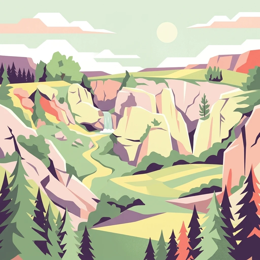
A digital illustration of a valley with light-colored limestone cliffs, a small waterfall, and coniferous forests, rendered in a flat, graphic style.

A Walloon natural park of limestone gorges, orchid-rich hills, and Ardennes forests along the French border.

Parc naturel Viroin-Hermeton

Parc naturel Viroin-Hermeton is a protected natural area of roughly 48,000 hectares in southern Belgium, straddling the Walloon province of Namur along the border with France. The park encompasses the municipalities of Viroinval, Couvin, and Philippeville, and is home to about 30,000 inhabitants, making it both a living landscape and a conservation zone. The park's defining character lies in its geological contrasts. From north to south it crosses four major biogeographical zones: the Condroz, the Fagne, the Calestienne limestone belt, and the Ardennes. The Calestienne in particular gives the area its most distinctive features, including hundreds of karst cavities known locally as fondrys, dry limestone grasslands, and exceptional populations of wild orchids that bloom in late spring. Beyond its natural value, the park supports a network of villages, traditional rural economies, cultural museums, heritage railways, and more than 300 kilometres of marked hiking trails, making it a major destination for nature-oriented tourism in Wallonia.

Location
Belgium
Park type
Protected landscape
Established
1998
Area
480 km²
Parc naturel Viroin-Hermeton Protected Landscape Map

Search Parc naturel Viroin-Hermeton records by distance

Review historical earthquakes near Parc naturel Viroin-Hermeton

Review historical earthquakes near Parc naturel Viroin-Hermeton, a 480 km² terrestrial protected landscape in Belgium; results are linked by the separation between each epicentre and the park and retain date, magnitude, depth, locality, and citation information for scrutiny. This mapping does not attribute earthquakes to the area's valleys, rivers, caves, or karst and does not provide a hazard forecast.

Sort by
Magnitude
Location

This page describes catalogued earthquakes associated with the park by epicentre location and distance. It does not establish causation, assess current danger, or predict future earthquakes.

No earthquake records match the current filters

Park atlas

Explore beyond Parc naturel Viroin-Hermeton earthquake data

Continue to more protected places from Parc naturel Viroin-Hermeton

Parc naturel Viroin-Hermeton extends across 480 km² of Belgian hills, valleys, cliffs, forest, grassland, lakes, rivers, caves, and karst. Continue through its related park pages to review independent seismic associations, keeping their reported epicentres and distances separate from this park’s terrain, possible consequences, and present risk.
Watercolor illustration showing a winding river flowing through a lush green valley with distant hills under a soft pink and yellow sky.
Nature reserveGrand Est
About 6.6 km away#1 closest

Northeast

Réserve naturelle nationale de la pointe de Givet: Protected Nature Reserve and Geological Atlas

Limestone cliffs, Meuse valley geography, and botanical enclaves in Grand Est

Covering 354 hectares of fragmented terrain, this nature reserve protects a vital corridor of limestone pavements, rocky scree, and dry grasslands. It hosts the internationally recognized Givétian geological stage and provides critical habitat for protected southern plant species. The area offers a distinct geographic profile where medieval fortifications and Vauban military history intersect with specialized forest and cave ecosystems along the Meuse river.

Area
3.54 km²
Established
1999
IUCN
III
Relief
Upland
Nature reserveHauts-de-France
12 km away#2 closest

West

Réserve naturelle régionale des monts de Baives: Protected Limestone and Calcareous Landscapes

Ecological geography and regional conservation map context

Encompassing roughly 19 hectares, the Réserve naturelle régionale des monts de Baives protects a specialized ecosystem at the edge of the Ardennes foothills. The site is recognized for its south-facing limestone slopes, orchid-rich grasslands, and historical quarry habitats that support regional bat colonies and unique botanical species.

Area
0.188 km²
Established
1996
IUCN
IV
Relief
Upland
Nature reserveHauts-de-France
14 km away#3 closest

Southwest

Réserve naturelle régionale des prairies humides de la ferme du Moulin Fontaine Protected Area

Wet meadow conservation in the Hauts-de-France region

Spanning 38 hectares in the Aisne department, this nature reserve focuses on the protection of humid grasslands. The site exemplifies regional efforts to maintain semi-natural habitats through a mosaic of hedgerows, moist meadows, and historic farm architecture in the Thiérache landscape.

Area
0.381 km²
Established
2014
IUCN
IV
Nature reserveArdennes
About 26 km away#4 closest

South

Réserve naturelle régionale de la côte de Bois-en-Val: Ardennes Protected Nature Reserve

A study in post-industrial rewilding and mapped biodiversity.

Located in the Ardennes department, this 24-hectare reserve demonstrates how limestone quarry faces, calcicole woodlands, and marshy hollows support a high density of plant and wildlife species. It provides an accessible look at local geology and habitat recovery within a compact, protected geographic frame.

Area
0.24 km²
Established
2008
IUCN
IV
Nature reserveHauts-de-France
39 km away#5 closest

Northwest

Réserve naturelle régionale de Pantegnies: Protected Landscape and Regional Map Overview

A managed nature reserve in the Hauts-de-France region

Réserve naturelle régionale de Pantegnies covers 37 hectares of protected terrain near Pont-sur-Sambre. This IUCN Category IV site serves as a vital anchor for regional biodiversity management, offering a clear case study in the preservation of northern French landscapes through formal regional nature reserve status.

Area
0.37 km²
Established
2013
IUCN
IV
Scope
Terrestrial
Watercolor illustration of a landscape with rolling hills, a river, and green vegetation
Protected areaProvince of Luxembourg
42 km away#6 closest

Southeast

Gaume Natural Park: A Protected Area Defining the Landscape of Province of Luxembourg

Explore its mapped natural landscape and geographic context.

Gaume Natural Park is a protected area offering a unique perspective on the natural landscapes found within Belgium's Province of Luxembourg. As a key geographic entity, it provides a vital component for atlas exploration, showcasing distinct mapped boundaries and regional terrain. Understand its significance as a protected natural space contributing to the Ardennes region's extensive geography, making it an essential point for structured discovery of protected lands.

Area
581.04 km²
Established
2014
IUCN
V
Relief
Lowland
A watercolor painting showing a soft, panoramic landscape with green hills in the distance, a meandering stream in the foreground, and grassy banks with subtle pink floral highlights.
Nature reserveHauts-de-France
44 km away#7 closest

West

Réserve naturelle régionale des Prairies du Val de Sambre: Regional Nature Reserve Atlas

Wetland floodplain meadows in the middle Sambre valley

The Réserve naturelle régionale des Prairies du Val de Sambre protects essential wet grassland habitats in northern France. Spanning approximately 49 hectares along the canalised Sambre, this protected area maintains traditional meadow systems that support wetland-dependent species; it represents a key junction in the regional landscape between the Mormal forest and Thiérache bocage.

Area
0.494 km²
Established
2012
IUCN
IV
A horizontal watercolor illustration depicting rolling green hills, meadows, and a small stream or body of water.
Protected landscapeProvince de Hainaut
About 47 km away#8 closest

Northwest

Parc naturel des Hauts-Pays: Geography and Protected Landscape Analysis

Tracing the forest corridors and river valleys of the Walloon region

Situated along the Franco-Belgian border, Parc naturel des Hauts-Pays offers a rare look at an intact bocage and forest landscape. The area is defined by the Grande Honnelle river valley, calcareous grasslands, and high-quality broadleaf woods. Its unique geographic location acts as a critical refuge for rare plant species and preserves a traditional rural identity that has survived across a complex watershed divide.

Area
157 km²
Established
2000
IUCN
V
MoriAtlas Explorer

Explore the Geographic Boundaries and Landscape Features of Parc naturel Viroin-Hermeton

Continue discovering the natural terrain and conservation character of Parc naturel Viroin-Hermeton. This MoriAtlas resource provides a detailed view of its karst geology, limestone grasslands, and valley river systems to help you understand the broader regional geography of Namur province.