Mori Atlas logo
Park earthquake history

A chronological catalogue of seismic events mapped by epicentre distance to the protected landscape.

Historical Earthquake Records and Seismic Activity Near Pinecone Burke Provincial Park

This historical collection tracks seismic events recorded in the vicinity of Pinecone Burke Provincial Park, providing a structured resource for reviewing past ground motion data. Each record includes specific event details, such as magnitude, focal depth, and location relative to the park boundaries, derived from scientific databases. Use this overview to examine the frequency and characteristics of recorded seismic activity within this region of the Coast Mountains.

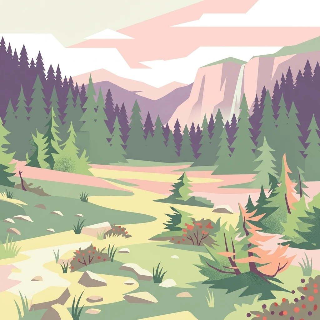
A graphic illustration showing a mountain valley with coniferous trees, a path, and distant mountain peaks in pastel tones.

A vast wilderness park linking Burke Mountain to the remote shores of Pitt Lake.

Pinecone Burke Provincial Park

Pinecone Burke Provincial Park is a large wilderness park in southwestern British Columbia that links the lower mainland suburbs of Metro Vancouver with one of the province's most rugged Coast Mountain landscapes. The park stretches from the southwestern corner of Garibaldi Provincial Park down through the highlands around Pitt Lake and Pitt River to Burke Mountain on the edge of Coquitlam, creating a continuous corridor of mostly untouched backcountry. Its terrain includes old-growth coniferous forests, alpine meadows, remnant ice fields, deep river valleys, and high peaks such as Pinecone Peak and Meslilloet Mountain. The park was established in 1995 after years of logging, mining, and pressure from industrial interests, and it now protects a wide range of habitats spanning coastal rainforest to subalpine environments. With its size, limited road access, and varied wildlife, including both grizzly and black bears, mountain goats, and numerous bird and salmon species, the park represents an important piece of the Lower Mainland's remaining wild landscape and a key link in the regional conservation network.

Location
Canada
Park type
State or regional park
Established
1995
Area
380 km²
Highest point
2,027 m
Pinecone Burke Provincial Park Geography

Compare Pinecone Burke Provincial Park records by distance

Explore recorded earthquakes around Pinecone Burke Provincial Park

Pinecone Burke Provincial Park covers 380 km² of Canadian mountains, majority forest, wetlands, lakes, rivers, and glacier terrain up to 2,027 metres. The earthquake catalogue documents regional observations and measured proximity without proving an in-park event, ecosystem impact, current danger, or recurrence.

Sort by
Magnitude
Location

This page describes catalogued earthquakes associated with the park by epicentre location and distance. It does not establish causation, assess current danger, or predict future earthquakes.

No earthquake records match the current filters

Park atlas

Move past Pinecone Burke Provincial Park earthquake history

Browse other protected places beyond Pinecone Burke Provincial Park

Pinecone Burke Provincial Park protects 380 km² of Canadian mountains, majority forest, wetlands, lakes, rivers, and glacier terrain up to 2,027 metres. Related park pages support comparison of distinct seismic records but do not transfer this park’s high-relief setting, possible effects, risk, or future outlook.
A horizontal watercolor painting depicting a light, airy landscape with distant snow-capped mountains, rolling green hills, and coniferous forest edges.
State or regional parkBritish Columbia
Park boundaries overlap#1 closest

North

Garibaldi Provincial Park: An Atlas of Volcanic and Glacial Terrain in British Columbia

Protected wilderness in the Garibaldi Volcanic Belt

Garibaldi Provincial Park preserves a massive expanse of mountainous wilderness, defined by iconic landmarks such as The Black Tusk and Garibaldi Lake. The park represents a crucial study in vertical zonation, transitioning from temperate coastal forests to vast alpine meadows, glaciers, and jagged volcanic summits. Analyze the geological history and mapped protected boundaries that shape this significant British Columbia conservation area.

Area
1,950 km²
Established
1920
IUCN
II
Visitors
136K annual
A watercolor painting showing a soft-focus landscape with rolling green hills, distant mountains, and a central river or water feature.
State or regional parkBritish Columbia
1.4 km away#2 closest

East

Golden Ears Provincial Park: Geographic Atlas and Protected Landscape Overview

Coast Mountains terrain and protected wilderness boundaries

Golden Ears Provincial Park is a major protected wilderness in British Columbia, defined by the twin peaks of the Golden Ears massif and vast glacial lake systems like Alouette and Pitt. This site serves as a vital ecological corridor where lowland forests meet high subalpine ridges. Explore the park through its mapped boundaries and diverse ecological zones within the Pacific Northwest mountain landscape.

Area
609 km²
Established
1967
IUCN
II
Visitors
956.5K annual
A soft watercolor painting of a landscape featuring a lake, low rolling hills in the background, and grassy vegetation along the foreground shoreline under a warm, pale yellow sky.
State or regional parkFraser Valley Regional District
About 21 km away#3 closest

Southeast

Rolley Lake Provincial Park: An Atlas of Protected Landscapes and Regional Geography

Lakeshore forest terrain and protected park geography

Delve into the geographic identity of Rolley Lake Provincial Park, a state-protected landscape in the Fraser Valley Regional District. This documentation traces the park's internal map, including its central freshwater lake, loop trail connectivity, and surrounding second-growth forest topography, providing essential context for understanding this localized wilderness zone.

Area
1.15 km²
Established
1961
IUCN
II
A horizontal watercolor illustration depicting soft green rolling hills and distant purple mountains above a flat shoreline with patches of marsh grasses.
State or regional parkBritish Columbia
24 km away#4 closest

West

Porteau Cove Provincial Park: Mapping Coastal Protected Landscapes in British Columbia

Geography of Howe Sound shorelines and marine habitats

Porteau Cove Provincial Park offers a unique geographic vantage point at the meeting of granite-sloped mountains and the Pacific waters of Howe Sound. This park detail covers the coastal landscape, including protected intertidal zones, artificial reef structures, and the surrounding terrain that characterizes this segment of the British Columbia coastline.

Area
0.5 km²
Established
1981
IUCN
II
Visitors
611.8K annual
A watercolor painting showing a soft, hazy landscape of a lake with green forest along the shore and distant purple mountains under a pale sky.
State or regional parkBritish Columbia
About 27 km away#5 closest

Southeast

Davis Lake Provincial Park: Protected Forest and Lake Geography in British Columbia

Regional protected area with old-growth forest and waterfalls

Davis Lake Provincial Park represents a significant protected area in the Fraser Valley, characterized by its undisturbed Western Hemlock forest and the scenic descent of Murdo Creek into McDonald Falls. The park provides an essential look at the regional geography of southwestern British Columbia, balancing dense coniferous canopy with accessible lake-based terrain in a quiet, natural setting.

Area
0.75 km²
Established
1963
IUCN
II
Relief
Upland
A horizontal watercolor painting depicting a soft-toned landscape with green trees, rolling hills, a calm body of water, and distant pale mountains.
State or regional parkBritish Columbia
33 km away#6 closest

South

Peace Arch Park: Mapped Geography and Protected Landscapes of the Canada and US Border

Coastal binational protected area in British Columbia

Peace Arch Park is a notable protected landscape positioned directly on the international border. This site acts as a continuous green space between Canada and the United States, offering an unusual study of territorial boundaries and coastal geography. Spanning manicured terrain and historic monument grounds, the park provides an essential vantage point for understanding land-based connectivity in the Pacific Northwest region.

Area
0.17 km²
Established
1939
Visitors
500K annual
Access
Easy access
State or regional parkBritish Columbia
About 46 km away#7 closest

West

Plumper Cove Marine Provincial Park: Protected Marine Geography and Coastal Landscapes in Howe Sound

Exploring the forested trails and sheltered marine anchorages of Keats Island.

Plumper Cove Marine Provincial Park represents a vital protected landscape on the coast of British Columbia, defined by its blend of upland coastal forest and intimate, boat-accessed marine anchorages. This geography-focused profile traces the park's terrain, including its rocky shorelines, forest-covered bluffs, and the trail networks that connect visitors to the broader Howe Sound maritime environment.

Area
0.66 km²
Established
1960
IUCN
II
Relief
Upland
State or regional parkBritish Columbia
About 48 km away#8 closest

Southeast

Kilby Provincial Park: Protected Riverfront Geography and Historic Sites in BC

A unique riparian landscape along the Harrison River

Kilby Provincial Park offers an intimate look at the flood plain geography of the Harrison River. The site features an elevated, boardwalk-linked heritage environment integrated with sandy riverfronts and seasonal wildlife corridors. This protected area stands out for its combination of historical pioneer preservation and river-based ecosystem monitoring within the Upper Fraser Valley region of British Columbia.

Area
0.03 km²
Established
1973
IUCN
II
Relief
Lowland
MoriAtlas Explorer

Continue Exploring the Wild Geography of Pinecone Burke Provincial Park

Delve deeper into the complex terrain of Pinecone Burke Provincial Park by examining its protected boundaries and regional landscape context. Use the MoriAtlas dataset to trace the connection between coastal rainforests, alpine basins, and the remote river valleys of the southern Coast Mountains. Start a detailed geographic discovery of this significant British Columbia wilderness today.