
Mori Atlas logo
State or regional parkPorteau Cove Provincial Park

A detailed geographic study of shoreline terrain and artificial reef environments

Porteau Cove Provincial Park: Mapping the Protected Coastal Landscapes of Howe Sound

Porteau Cove Provincial Park stands as a significant protected corridor where the steep forested mountains of the Sea to Sky region meet the saltwater depths of Howe Sound. This geographic analysis traces the park boundaries, mapping the intersection of pebble shorelines, granite bluffs, and the underwater habitats created by deliberate artificial reefs. Gain insights into the physical geography and coastal structure that define this vital marine-recreational node within the British Columbia provincial park network.

coastal parkprovincial parkHowe Soundscuba divingartificial reefssunken vessels
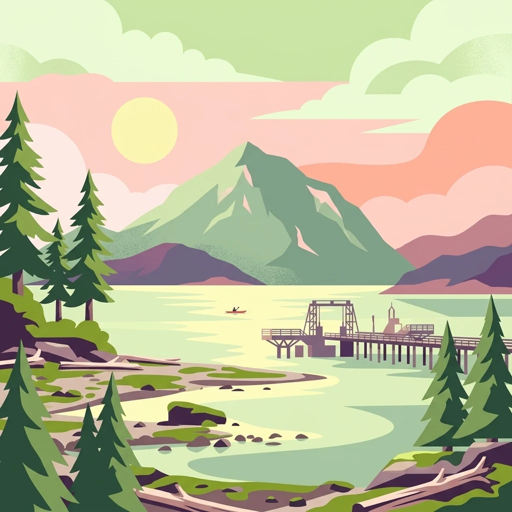
A flat vector illustration of Porteau Cove in British Columbia, featuring a wooden wharf extending into the calm waters of Howe Sound with mountainous terrain in the distance and pine trees in the foreground.

Porteau Cove Provincial Park

State or regional park

Park overview

Structured park overview, official facts, and landscape profile for Porteau Cove Provincial Park

Porteau Cove Provincial Park park facts, protected area profile, and essential visitor context

Review the core facts for Porteau Cove Provincial Park, including designation, size, terrain, visitor scale, habitats, and operating context in one park-focused overview.

About Porteau Cove Provincial Park

Porteau Cove Provincial Park sits along one of the most scenic stretches of southern British Columbian coastline, where the highway climbs between Vancouver, Squamish, and Whistler along the edge of Howe Sound. While the park itself is small, its location on the eastern shore of this fjord-like inlet places it squarely within a region famous for steep coastal mountains, salt water, and dense conifer forest that crowds down to the shoreline.

The park functions as a multi-purpose recreation area rather than a wilderness reserve. Its 50 hectares combine a pebble beach, campgrounds, picnic areas, a boat launch, and an emergency-use ferry pier into a single compact footprint. Day visitors come for the views and the easy access to the water, while overnight campers use the mix of drive-in and walk-in sites as a base for exploring both the shoreline and the Sound. The park's proximity to major population centers in Metro Vancouver and to the recreation corridor leading north means it sees heavy seasonal use, particularly through the warmer months.

What distinguishes Porteau Cove from many other small coastal parks in the region is its deliberate role as a public dive site. With two sunken vessels and other artificial reef structures settled on the seabed, the park offers divers a combination of marine life, structure, and shoreline access that is rare along this part of the coast. Combined with its position along a high-profile travel route, this has helped establish the park as a recognizable landmark on the Sea to Sky corridor and a frequently cited entry point to the wider Howe Sound environment.

Quick facts and research context for Porteau Cove Provincial Park

Porteau Cove Provincial Park is located in the Squamish-Lillooet Regional District of British Columbia, on the east side of Howe Sound along the Sea to Sky Highway between Greater Vancouver and Squamish. Established in 1981 and managed by BC Parks, the park covers roughly 50 hectares of shoreline and coastal forest and is classified under IUCN Category II.

The park is a multi-use recreation site that combines drive-in and walk-in camping, picnicking, swimming, windsurfing, a public boat launch, and a busy shore-diving scene centered on intentionally sunk artificial reefs. It is also a regionally important piece of transportation infrastructure, since its pier doubles as an emergency ferry dock that could be used if the Sea to Sky Highway were blocked by a slide between Vancouver and Squamish.

Protection and recognition

Examine documented protection scope and international recognition details

Porteau Cove Provincial Park Protection Status and Mapped Designation Records

Porteau Cove Provincial Park maintains a recorded mixed protection scope within its designated boundaries. Structured conservation tracking compiles management history and official recognition data for reference.

Protection details

Protection scope
Mixed
Park context

Deeper park guide and search-rich context for Porteau Cove Provincial Park

Porteau Cove Provincial Park history, landscape, wildlife, and travel context

Explore Porteau Cove Provincial Park through its history, landscape character, ecosystems, wildlife, conservation priorities, cultural context, and seasonal travel timing in a structured park guide built for atlas discovery and search intent.

Why Porteau Cove Provincial Park stands out

Porteau Cove is best known as one of the most accessible saltwater dive sites in the Metro Vancouver and Sea to Sky region. The park's underwater features include a series of artificial reefs built around two sunken vessels, giving divers a controlled environment with structures to explore relatively close to shore. This dive-friendly character is unusual for a small roadside park and has made Porteau Cove a recurring destination for both training dives and recreational underwater exploration. Above water, the park is also closely associated with the dramatic shoreline where the granite bluffs of the Sea to Sky corridor meet the deep waters of Howe Sound. The combination of steep coastal mountains, exposed rocky intertidal zones, and a publicly accessible waterfront gives the park much of its visual identity and explains why it draws both day visitors and overnight campers.
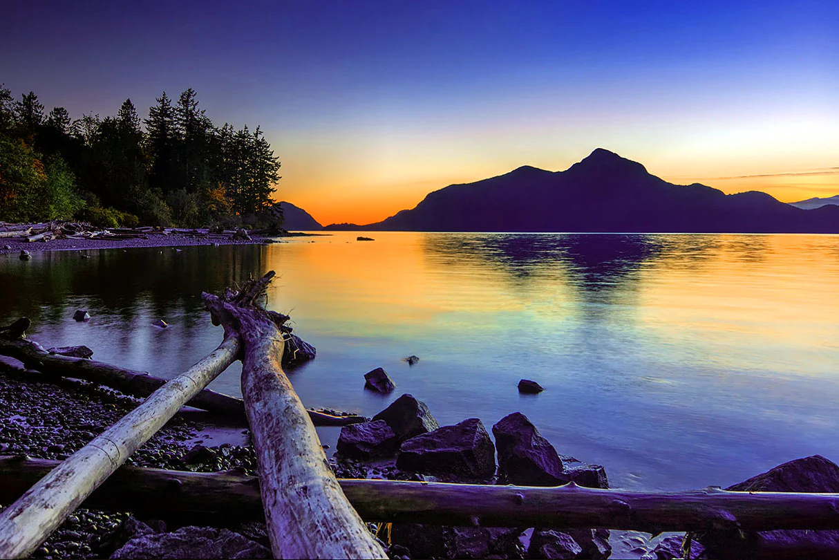
A peaceful landscape view across a calm inlet at sunset, with silhouetted mountains in the background and driftwood on a rocky shoreline in the foreground.
Sunset over the waters of Howe Sound at Porteau Cove Provincial Park.

Porteau Cove Provincial Park history and protected-area timeline

Porteau Cove Provincial Park was established in 1981, adding a formal layer of protection and public recreation infrastructure to a stretch of the Howe Sound shoreline that had long been accessible from the highway. Its creation coincided with growing recognition of the recreational value of the Sea to Sky corridor and the need for managed day-use and camping facilities between the urban lower mainland and the more remote recreation areas further north.

The park's most visible historical event is the July 29, 2008 rockslide at the nearby Porteau Bluffs, just north of the cove. The slide sent large slab-like pieces of granite down toward the highway and rail line at the base of the bluff, and although no one was injured, the incident underscored the long-standing geotechnical concerns about this section of the Sea to Sky route. The slide also raised security questions during preparations for the 2010 Winter Olympics, since Whistler was hosting events and the corridor was a critical transportation link.

Beyond hazard history, the park's day-to-day operations have evolved around its recreational identity. The pier that now anchors the waterfront has a quiet but important institutional history: although it is owned by BC Parks, the ferry ramp and its accessories belong to the provincial Ministry of Transportation and Infrastructure, reflecting the dock's dual function as a public promenade wharf and an emergency-use ferry landing should the highway ever be blocked between the cove and either Vancouver or Squamish.

Porteau Cove Provincial Park landscape and geographic character

The landscape of Porteau Cove Provincial Park is shaped by the meeting of steep coastal mountains with the saltwater of Howe Sound. The park occupies a narrow bench of land at the base of rising terrain, where dark evergreen forest climbs toward granite ridges and bluffs. The porteau bluffs themselves, composed of slab-like granite that once overhung the highway, are a defining visual feature of the area even though they sit just outside the formal park boundary.

At sea level, the park's shoreline is a mix of pebble beach, rocky intertidal platforms, and small pockets of driftwood accumulation. The beach wood is considered an essential component of the intertidal zone, and the park's rules explicitly protect it from collection. The combination of fresh mountain runoff, saltwater exchange in the Sound, and shoreline shading from the surrounding forest creates a typical Pacific Northwest coastal edge, with cool water, variable visibility conditions, and a narrow but ecologically active tidal zone.

Looking outward from the beach, the view across Howe Sound is dominated by the layered silhouettes of surrounding coastal ranges. Looking back inland, the towering granite of the bluffs and the forested slopes above the highway frame the cove. This compression of mountain, forest, and sea into a small protected footprint gives the park a visual intensity that is out of proportion to its modest area, and it is one of the reasons the site reads as a strong representative of the Sea to Sky coastal landscape.
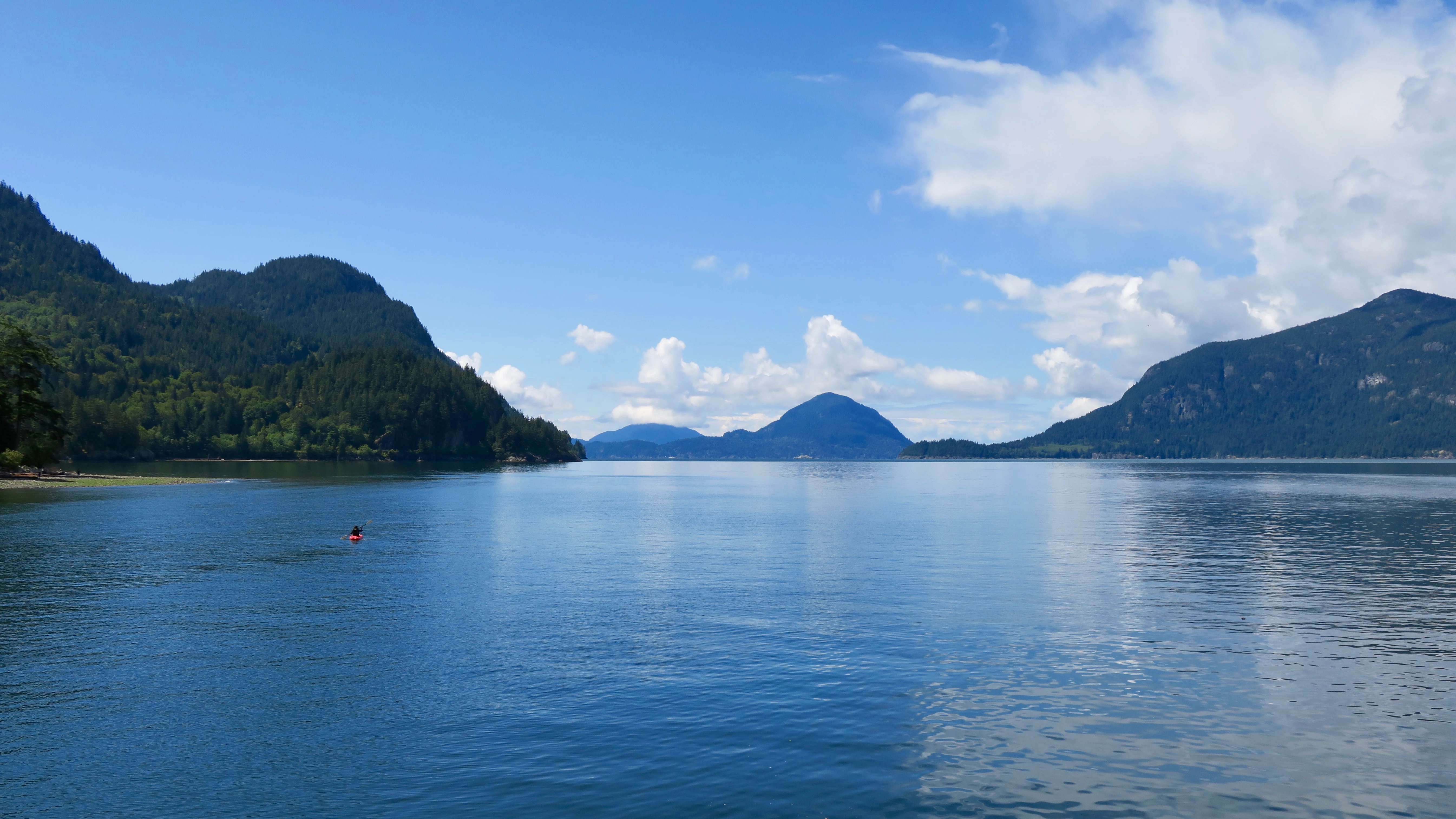
A wide shot looking across the calm, blue waters of Howe Sound toward distant forested mountains under a bright sky with scattered white clouds.
A scenic view of the calm waters of Howe Sound at Porteau Cove Provincial Park.

Porteau Cove Provincial Park ecosystems, habitats, and plant life

Ecologically, Porteau Cove sits within the coastal western hemlock biogeoclimatic zone that dominates the seaward slopes of British Columbia's southern coast. The upland portions of the park are cloaked in dense coniferous forest, with trees growing right to the back of the beach in many places. This forest cover moderates the local climate, shades the shoreline, and contributes organic material such as leaves, branches, and woody debris that are important to the intertidal community.

The intertidal and shallow subtidal zones are the most ecologically sensitive parts of the park. The rocky shoreline supports typical Pacific Northwest tideflat life, and the park's management explicitly recognizes beach wood and other woody debris as essential structural components of this habitat. Below the surface, the cold, oxygenated waters of Howe Sound support a marine environment that has been deliberately enhanced through the placement of artificial reefs, including two sunken vessels, which add structure to an otherwise relatively featureless seabed and concentrate marine life.

Together, the forested uplands and the saltwater shoreline form an unusually compressed coastal ecosystem for such a small park. While the park is too small and heavily used to function as a broad wildlife sanctuary, it still preserves a representative slice of the Howe Sound coastal environment, with tight ecological linkages between forest, beach, tideflat, and nearshore water.
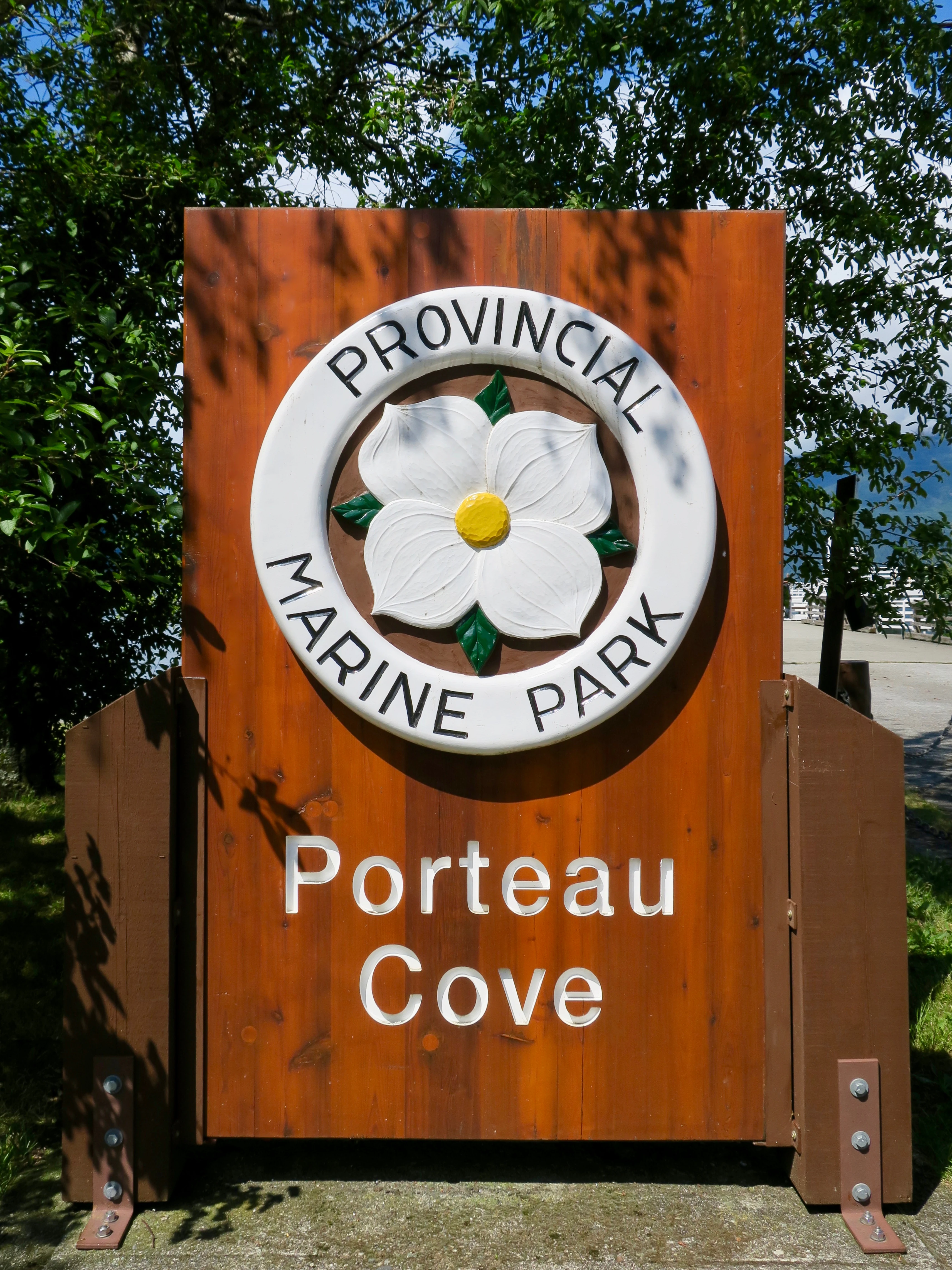
A wooden entrance sign for Porteau Cove Provincial Park features a circular emblem with a Pacific dogwood flower in the center, set against a background of green trees.
The official entrance sign for Porteau Cove Provincial Park in British Columbia.

Porteau Cove Provincial Park wildlife and species highlights

Wildlife at Porteau Cove is best understood through the marine and shoreline environment rather than through large mammals, which are limited by the park's small footprint and high human use. The intertidal zone supports the usual assemblage of Pacific Northwest tideflat organisms, and the artificial reefs offshore attract fish and invertebrates that use the sunken vessels and other structures as shelter and feeding habitat. This has made the park an attractive site for shore diving and for dives focused on observing marine life in a structured setting.

Above the shoreline, the forested backdrop provides cover for typical coastal forest birds and small mammals associated with the Sea to Sky corridor. Because the park is largely surrounded by similar habitat and is itself compact, wildlife viewing is incidental for most visitors rather than a primary reason to come. Bird presence is most noticeable along the water's edge and over the Sound, where marine and shoreline species can be observed from the beach or the pier.
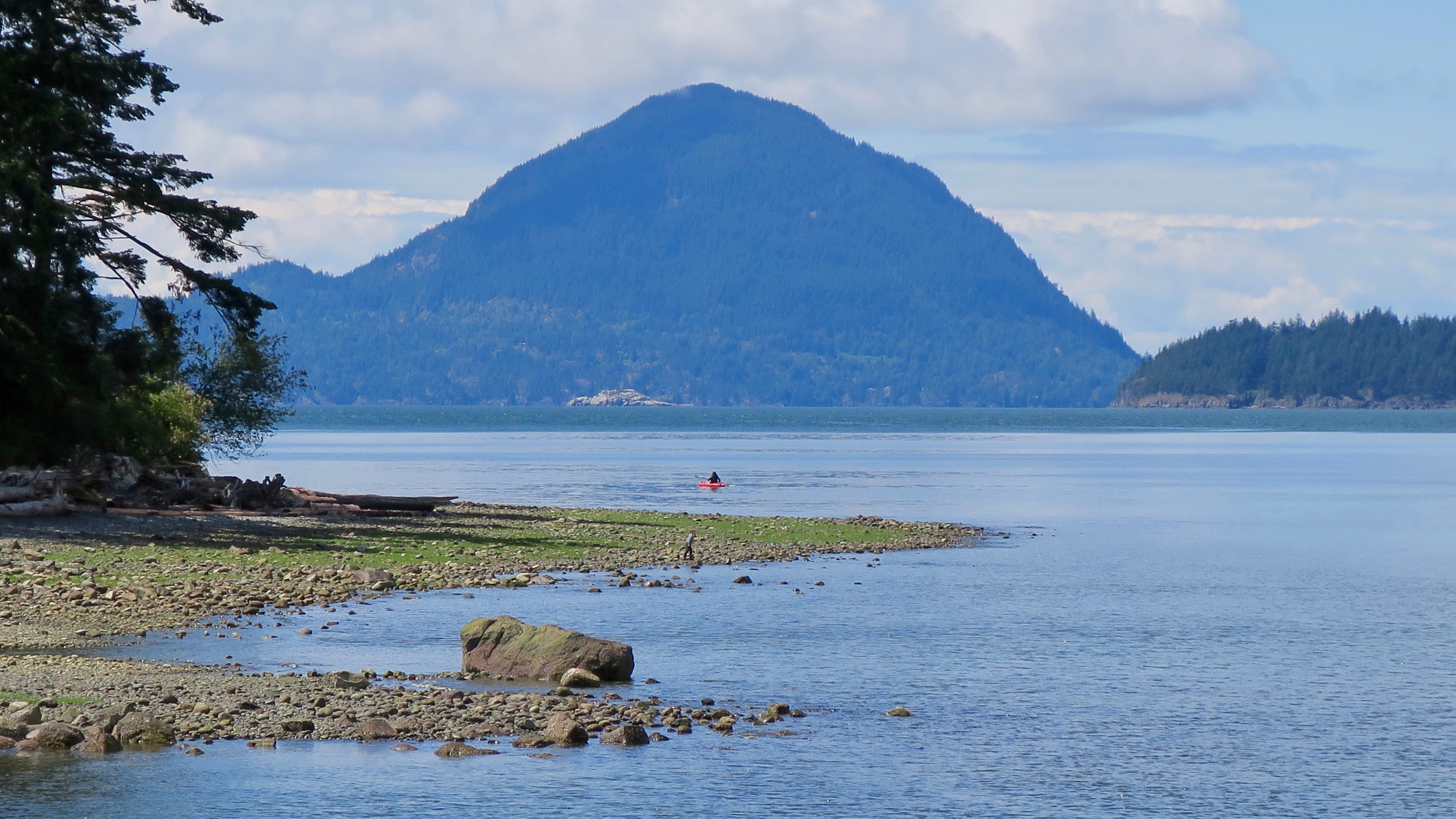
A peaceful coastal scene featuring a rocky shoreline, calm blue water, and a prominent mountain peak in the distance under a partly cloudy sky.
A scenic view of the coastline at Porteau Cove Provincial Park, featuring the waters of Howe Sound and a mountainous backdrop.

Porteau Cove Provincial Park conservation status and protection priorities

From a conservation perspective, the park's value lies less in its size than in its role as a formally protected node within the Howe Sound coastline and as a managed access point to a sensitive marine shoreline. Established in 1981 and managed by BC Parks, the reserve gives the intertidal zone, nearshore waters, and surrounding coastal forest a recognized protected status, even though public use is intense compared with more remote parks in the region.

The park's regulations reflect a deliberate balance between recreation and habitat protection. Fishing, shellfish harvesting, and the removal of other marine life are prohibited, helping to preserve the biological value of the reefs and tideflats. The explicit protection of beach wood and other woody debris acknowledges that driftwood and fallen organic material are essential structural elements of the intertidal community, not litter to be cleaned up or burned. The placement of artificial reefs, including the two sunken vessels, represents a form of active marine habitat management, creating structure where the natural seabed provides relatively little.

The park's conservation role also extends to considerations beyond its own boundaries. Its presence at a geotechnically sensitive stretch of the Sea to Sky Highway, combined with its emergency ferry pier, situates it within broader regional discussions about coastal hazards, transportation resilience, and the management of popular but vulnerable coastal sites along one of British Columbia's busiest recreation corridors.

Porteau Cove Provincial Park cultural meaning and human context

Porteau Cove takes its name from Daniel Félon Porteau, who owned a cabin in the area in the late nineteenth century, and the cove has long served as a recognizable named feature along the eastern shore of Howe Sound. Beyond that local naming history, the park sits within the wider cultural geography of the Sea to Sky corridor, a stretch of coastline and mountain country tied to Indigenous presence, early coastal settlement, and the modern era of highway-driven recreation between Vancouver, Squamish, and Whistler.

The park itself is better understood as a recreation-oriented cultural space than as a heritage site. Its day-use areas, campgrounds, and pier have become familiar fixtures for divers, road travelers, and Sea to Sky regulars, and the cove is regularly used as a recognizable filming location along the corridor. The 1999 film Double Jeopardy, which used the area as a filming site, is one example of how the park's visual identity, sea cliffs, pier, and shoreline have become part of the broader screen imagery of coastal British Columbia.
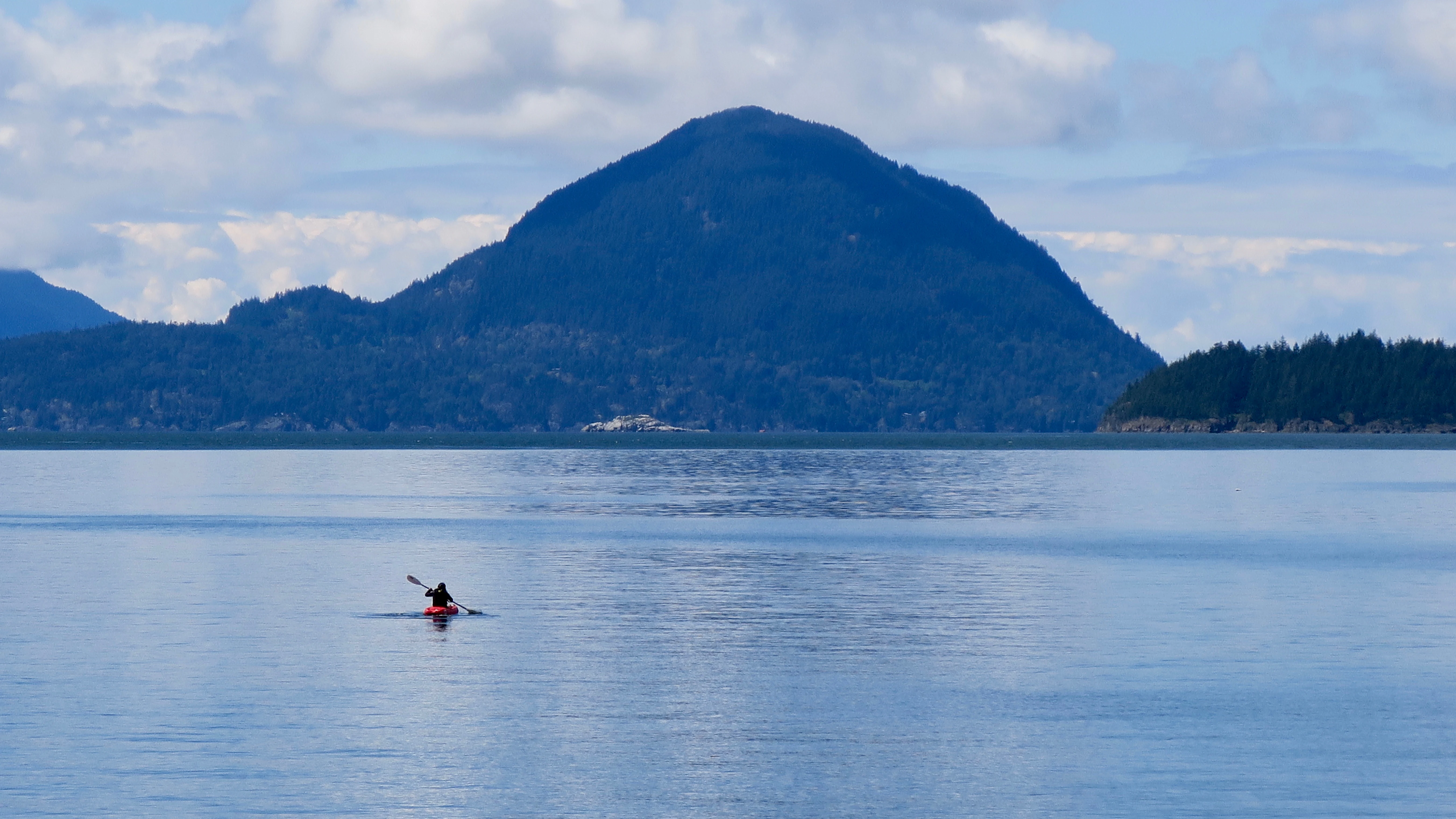
A wide, eye-level shot of a person in a red kayak on calm, blue water, with large, forested mountain peaks rising in the background under a cloudy sky.
A lone kayaker paddles on the calm waters of Howe Sound with mountainous scenery in the background at Porteau Cove Provincial Park.

Top sights and standout views in Porteau Cove Provincial Park

Porteau Cove's strongest highlights are its combination of shoreline accessibility, dive-friendly underwater structure, and dramatic coastal scenery on a heavily traveled highway corridor. The two sunken vessels and surrounding artificial reefs give the park a clearly distinct identity among small British Columbia provincial parks and have shaped its reputation as one of the most approachable saltwater dive sites in the region.

Equally important is the park's role as a compact recreation hub: a place where camping, picnicking, swimming, windsurfing, boating, and beach walking all converge in a single small footprint. Add in the sweeping views across Howe Sound, the granite backdrop of the porteau bluffs, and the unusual presence of an emergency-use ferry pier as part of the public promenade, and the park emerges as a small but unusually distinctive feature of British Columbia's protected coastal landscape.
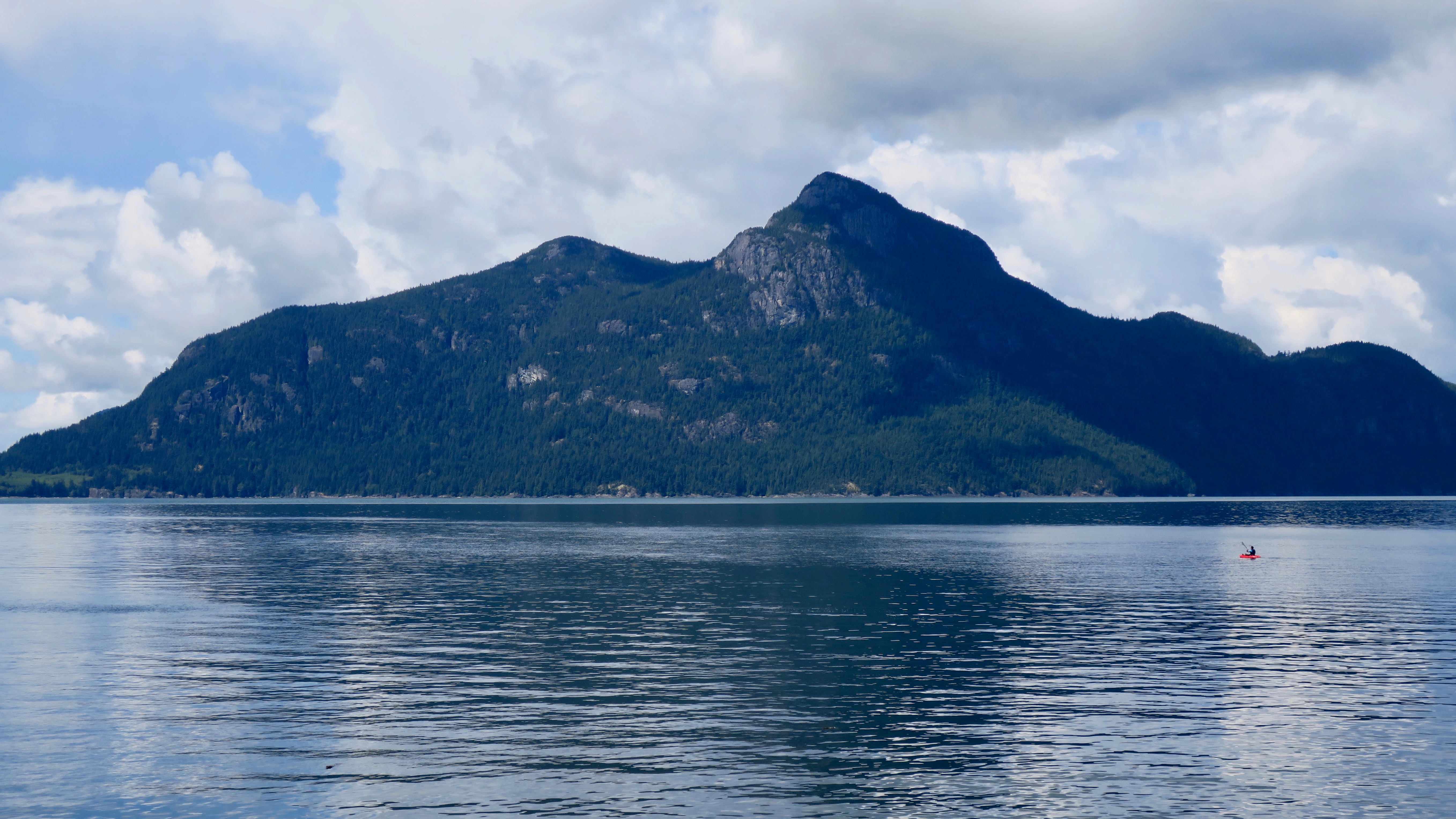
A calm, wide view of a large mountain rising directly out of the deep blue waters of a sound under a cloudy sky.
A view of the mountainous coastline at Porteau Cove Provincial Park, situated along the Howe Sound.

Best time to visit Porteau Cove Provincial Park

Porteau Cove is at its most inviting during late spring through early autumn, when calmer conditions on Howe Sound and warmer air and water temperatures make camping, swimming, and shore diving most rewarding. Summer weeks bring the heaviest use, with the campground largely reservable through the peak season, so visitors seeking quieter conditions often prefer the shoulder periods of late spring and early fall.

Winter visits are very different in character: cooler temperatures, reduced opening and reservation windows at the campground, and more variable weather along the coastal bluffs. The dramatic scenery of the snow-dusted coastal mountains and the quieter tempo can still appeal to day visitors and travelers along the Sea to Sky Highway, though diving conditions and water access become far less predictable than in the warmer months.
Monthly climate preview

Long-term representative point measurements of monthly temperature and precipitation rhythms

Porteau Cove Provincial Park Climate Normals and Annual Weather Patterns

Porteau Cove Provincial Park exhibits a measured annual cycle ranging from subzero winter conditions to warm summer maxima alongside distinct precipitation swings. Examining the complete monthly climate normals reveals detailed temperature averages and precipitation distributions across the coordinate.
Annual mean7 °C
-1 °C16 °C
Jan-1°
Feb
Mar
Apr
May10°
Jun13°
Jul16°
Aug16°
Sep13°
Oct
Nov
Dec-1°
Warmest month
July

16.2 °C

Coolest month
December

-1.2 °C

Wettest month
November

11.4 mm/day

Driest month
July

1.9 mm/day

Park location guide

Geography guide, regional context, and park location map for Porteau Cove Provincial Park

Porteau Cove Provincial Park park geography, regions, and map view in Canada

Understand where Porteau Cove Provincial Park sits in Canada through a broader geographic reading of the surrounding landscape, nearby location context, and its mapped position within the national park landscape.

How Porteau Cove Provincial Park fits into Canada

Canada is a federal parliamentary constitutional monarchy spanning North America from the Atlantic to the Pacific and Arctic Oceans. With a population of over 41 million, it is officially bilingual in English and French at the federal level. The country gained independence from the United Kingdom through a gradual process culminating in 1982.

Wider geography shaping Porteau Cove Provincial Park in Canada

Canada occupies the northern portion of North America, sharing its longest international border with the United States. The country extends from the Atlantic Ocean to the Pacific Ocean and northward into the Arctic Ocean, giving it the longest coastline of any nation.

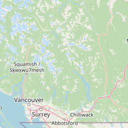
Map view of Porteau Cove Provincial Park

Use this park location map to pinpoint Porteau Cove Provincial Park in Canada, understand its exact geographic position, and read its mapped placement within the surrounding landscape more clearly.

Pigeon | © OpenStreetMap contributors

Location context for Porteau Cove Provincial Park

British Columbia
Recorded earthquake history

Examine the Recorded Earthquake History for Porteau Cove Provincial Park

Access the comprehensive seismic archive for Porteau Cove Provincial Park to review historical earthquake records and proximity data. This MoriAtlas collection provides a neutral, fact-based overview of recorded events in the Howe Sound region for geographic research and reference.

Porteau Cove Provincial Park Earthquake History

Catalogued events

11 events

Strongest magnitude

Magnitude 4.8

Most recent event

Feb 21, 2025

This history includes earthquakes recorded inside the park or within 50 km of its borders

Explore detailed imagery of rocky shores, mountain backdrops, and marine habitats.

Porteau Cove Provincial Park Photos and Scenery: Visualizing the Coastal Landscape

Visual documentation captures the dramatic coastal terrain where steep granite bluffs meet the saltwater of Howe Sound. Photographic records reveal the protected intertidal habitats, pebble beaches, and surrounding evergreen forests that define the park environment.

A peaceful landscape view across a calm inlet at sunset, with silhouetted mountains in the background and driftwood on a rocky shoreline in the foreground.

A wide angle view of a person in a red kayak on deep blue water, surrounded by forested mountains under a blue sky with white clouds.

A wide shot looking across the calm, blue waters of Howe Sound toward distant forested mountains under a bright sky with scattered white clouds.

A wooden entrance sign for Porteau Cove Provincial Park features a circular emblem with a Pacific dogwood flower in the center, set against a background of green trees.

A peaceful coastal scene featuring a rocky shoreline, calm blue water, and a prominent mountain peak in the distance under a partly cloudy sky.

A wide shot of a calm blue sound with distant mountains under a partly cloudy sky, viewed from a white metal platform where two people stand.

A wide, eye-level shot of a person in a red kayak on calm, blue water, with large, forested mountain peaks rising in the background under a cloudy sky.

A calm, wide view of a large mountain rising directly out of the deep blue waters of a sound under a cloudy sky.

A white metal observation tower extending over the water at Porteau Cove Provincial Park, with people standing on the deck and mountains in the background.

A wide shot from the perspective of a person walking on a long concrete pier, with wooden railings on the sides, extending into a calm body of water surrounded by mountains under a cloudy sky.

Two scuba divers swim in the calm water of a bay, with dramatic mountains and clouds in the distance.

A wide shot of a calm body of water with a person in a small red kayak paddling in the middle; steep forest-covered mountains rise in the background.

Park atlas

Compare nearby protected landscapes and coastal geography along the Sea to Sky corridor.

Other Parks Near Porteau Cove Provincial Park and Surrounding Coastal Reserves

Browsing parks near Porteau Cove Provincial Park reveals interconnected coastal reserves and marine habitats across the surrounding region. Comparing these protected landscapes provides valuable geographic context for understanding Pacific Northwest fjord ecosystems.
State or regional parkBritish Columbia
About 23 km away#1 closest

Southwest

Plumper Cove Marine Provincial Park: Protected Marine Geography and Coastal Landscapes in Howe Sound

Exploring the forested trails and sheltered marine anchorages of Keats Island.

Plumper Cove Marine Provincial Park represents a vital protected landscape on the coast of British Columbia, defined by its blend of upland coastal forest and intimate, boat-accessed marine anchorages. This geography-focused profile traces the park's terrain, including its rocky shorelines, forest-covered bluffs, and the trail networks that connect visitors to the broader Howe Sound maritime environment.

Area
0.66 km²
Established
1960
IUCN
II
Relief
Upland
A horizontal watercolor painting depicting a light, airy landscape with distant snow-capped mountains, rolling green hills, and coniferous forest edges.
State or regional parkBritish Columbia
24 km away#2 closest

Northeast

Garibaldi Provincial Park: An Atlas of Volcanic and Glacial Terrain in British Columbia

Protected wilderness in the Garibaldi Volcanic Belt

Garibaldi Provincial Park preserves a massive expanse of mountainous wilderness, defined by iconic landmarks such as The Black Tusk and Garibaldi Lake. The park represents a crucial study in vertical zonation, transitioning from temperate coastal forests to vast alpine meadows, glaciers, and jagged volcanic summits. Analyze the geological history and mapped protected boundaries that shape this significant British Columbia conservation area.

Area
1,950 km²
Established
1920
IUCN
II
Visitors
136K annual
A watercolor illustration of a mountain landscape featuring soft rolling hills, evergreen trees, and low-lying vegetation on a white background.
State or regional parkBritish Columbia
24 km away#3 closest

East

Pinecone Burke Provincial Park: Coast Mountain Wilderness and Protected Terrain Geography

Mapping a vast ecological corridor in British Columbia

Spanning over 38,000 hectares, Pinecone Burke Provincial Park represents a dramatic transition from the urban proximity of Coquitlam to the remote interiors of the southern Coast Mountains. The landscape is defined by its rugged relief, featuring subalpine meadows, deep freshwater systems, and historically significant forested slopes. This park provides a critical look at the complex topography of the Pacific Northwest, serving as a sanctuary for wildlife and a foundational piece of regional conservation.

Area
380 km²
Established
1995
IUCN
II
Relief
Mountain
A watercolor painting showing a soft-focus landscape with rolling green hills, distant mountains, and a central river or water feature.
State or regional parkBritish Columbia
47 km away#4 closest

East

Golden Ears Provincial Park: Geographic Atlas and Protected Landscape Overview

Coast Mountains terrain and protected wilderness boundaries

Golden Ears Provincial Park is a major protected wilderness in British Columbia, defined by the twin peaks of the Golden Ears massif and vast glacial lake systems like Alouette and Pitt. This site serves as a vital ecological corridor where lowland forests meet high subalpine ridges. Explore the park through its mapped boundaries and diverse ecological zones within the Pacific Northwest mountain landscape.

Area
609 km²
Established
1967
IUCN
II
Visitors
956.5K annual
A minimalist watercolor illustration showing rolling hills in the background and soft foliage in the foreground on a white background.
State or regional parkBritish Columbia
About 67 km away#5 closest

Southwest

Petroglyph Provincial Park: Protected Indigenous Heritage and Coastal Geography

Cultural landscape and bedrock carvings in British Columbia

Petroglyph Provincial Park preserves a remarkable concentration of ancient carvings etched into the sandstone bedrock of the Nanaimo River estuary. This protected area on Vancouver Island provides a rare look at how Indigenous traditions integrated with powerful natural features, offering a unique geographic context for studying historical rock art in the Pacific Northwest.

Area
0.02 km²
Established
1948
IUCN
III
Relief
Lowland
A watercolor painting showing a horizontal landscape with a green forest in the foreground and soft pink, layered rolling hills in the background.
State or regional parkBritish Columbia
68 km away#6 closest

Southwest

Morden Colliery Historic Provincial Park: Heritage Infrastructure and Regional Coal Mining History

Industrial landscape and historic rail corridor in British Columbia

Located near Nanaimo, this heritage site preserves the substantial concrete remains of the Morden Colliery. The park serves as a physical archive of southern Vancouver Island industrial life, contrasting engineering landmarks with local forest environments and interpretive trails along former coal railway alignments.

Area
0.04 km²
Established
1972
Relief
Lowland
Scope
Terrestrial
Watercolor painting of a tranquil body of water with gentle hills in the background and a cluster of trees on the right shore.
State or regional parkBritish Columbia
68 km away#7 closest

West

Jedediah Island Marine Provincial Park: Coastal Terrain and Regional Protected Area Map

Mapping island boundaries and sheltered maritime ecosystems

Jedediah Island Marine Provincial Park offers a unique study in coastal geography, featuring a complex shoreline of pebble beaches and indented bays. Located within the Strait of Georgia, the park serves as a protected landmass that blends maritime forest ecosystems with open water corridors. Its boat-only access ensures the landscape remains a quiet, preserved example of Gulf Islands terrain.

Area
6.03 km²
Established
1995
IUCN
II
Relief
Lowland
A horizontal watercolor painting depicting a soft-toned landscape with green trees, rolling hills, a calm body of water, and distant pale mountains.
State or regional parkBritish Columbia
70 km away#8 closest

Southeast

Peace Arch Park: Mapped Geography and Protected Landscapes of the Canada and US Border

Coastal binational protected area in British Columbia

Peace Arch Park is a notable protected landscape positioned directly on the international border. This site acts as a continuous green space between Canada and the United States, offering an unusual study of territorial boundaries and coastal geography. Spanning manicured terrain and historic monument grounds, the park provides an essential vantage point for understanding land-based connectivity in the Pacific Northwest region.

Area
0.17 km²
Established
1939
Visitors
500K annual
Access
Easy access

Common questions about visiting, size, designation, and location context for Porteau Cove Provincial Park

Porteau Cove Provincial Park FAQs for park facts, access, geography, and protected area context

Find quick answers about Porteau Cove Provincial Park, including protected-area facts, park geography, trail and visitor context, and how the park fits into its surrounding country and regional landscape.
MoriAtlas Explorer

Continue Your Protected Areas Search Across the Global Atlas

Deepen your exploration by continuing the structured search for national parks and protected areas worldwide. Utilize the comprehensive filtering capabilities to compare different conservation landscapes and refine your understanding of global park geography. Discover more about the distribution and characteristics of protected natural areas.

Global natural geography