
Mori Atlas logo
Protected landscapePuszcza Goleniowska

Mapping the pine-dominated lowland woodlands, bog ecosystems, and post-glacial terrain of a historic forest complex.

Puszcza Goleniowska: An Expansive Protected Landscape in Poland's West Pomeranian Voivodeship

Puszcza Goleniowska stands as one of the most prominent lowland forest complexes in northwestern Poland, covering an expansive area of the Równina Goleniowska plain. This protected landscape is defined by its deep pine woodland, mosaic of wet alder forests, and hydrologically rich peatland communities. Mapped data reveals a complex network of nature reserves and aquatic features that sustain critical habitats, including rare yew stands and wetland corridors for regional wildlife. The forest floor, marked by gentle post-glacial relief, continues to serve as an essential ecological and historical landmark within the West Pomeranian Voivodeship.

lowland forestpine woodlandbog and marshlandnature reservesNatura 2000birdwatching
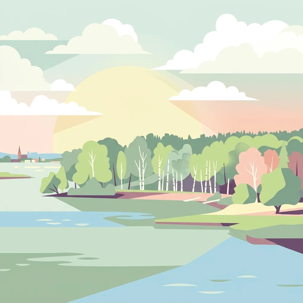
A flat-style digital illustration of a calm body of water bordered by a lush forest under a soft sunset sky, with a distant silhouette of a church spire.

Puszcza Goleniowska

Protected landscape

Park overview

Structured park overview, official facts, and landscape profile for Puszcza Goleniowska

Puszcza Goleniowska park facts, protected area profile, and essential visitor context

Review the core facts for Puszcza Goleniowska, including designation, size, terrain, visitor scale, habitats, and operating context in one park-focused overview.

About Puszcza Goleniowska

Puszcza Goleniowska is one of the largest continuous forest complexes in northwestern Poland, defined by its flat post-glacial setting on the Równina Goleniowska plain. It sits in a strategic position east of the Szczecin Lagoon and Lake Dąbie, forming part of the broader belt of woodlands that characterize the West Pomeranian landscape.

The forest's character is built from extensive pine stands, which make up the majority of the wooded area, complemented by beech and black alder in wet, low-lying zones. Where the terrain dips into poorly drained ground, alder swamp forests transition into classic bog coniferous forest, creating a mosaic of dry and wetland habitats typical of the southern Baltic lowlands.

Ecologically, the forest is significant well beyond its local context. Its protected areas include the Przybiernowskie Cisy landscape protection complex, the Sarni Las landscape protection complex, and a series of nature reserves such as Czarnocin, Białodrzew Kopicki, Olszanka, Krzywicki Mszar, Wrzosiec, Uroczysko Święta, Cisy Rokickie, and Wiejkowski Las. Two Natura 2000 sites, Puszcza Goleniowska for birds and Ostoja Goleniowska for habitats, add a European layer to this conservation framework.

Administratively, the forest is shared among several forest districts, allowing for coordinated but locally adapted management. This combination of ecological value, protected landscape, and modern forestry makes Puszcza Goleniowska an important reference point for understanding both the natural heritage and the contemporary management of large lowland forests in Poland.

Quick facts and research context for Puszcza Goleniowska

Puszcza Goleniowska covers roughly 630 square kilometers on the Równina Goleniowska plain in West Pomeranian Voivodeship, Poland. It lies east of Lake Dąbie and the Szczecin Lagoon and spans several administrative districts, with Goleniów County at its core.

Forests cover about 80 percent of the area, dominated by pine with smaller shares of spruce, beech, and black alder in wetter zones. The complex is protected through a dense patchwork of nature reserves, landscape protection complexes, and two Natura 2000 sites, one for birds and one for habitats.

Its southern portion has been part of the Puszcze Szczecińskie Promotion Forest Complex since 1996, and the area is administered collectively by the Goleniów, Rokita, Kliniska, and Nowogard forest districts.

Protection and recognition

Explore documented terrestrial protection scope and Natura 2000 recognition sources.

Puszcza Goleniowska Protection Status and International Recognition

Puszcza Goleniowska protection status brings together official terrestrial conservation frameworks and documented Natura 2000 network designations. Recorded international recognition sources provide transparent access to administrative boundaries and ecological management scopes.

International recognition

Protection details

Protection scope
Terrestrial
Transboundary protection
No
Park context

Deeper park guide and search-rich context for Puszcza Goleniowska

Puszcza Goleniowska history, landscape, wildlife, and travel context

Explore Puszcza Goleniowska through its history, landscape character, ecosystems, wildlife, conservation priorities, cultural context, and seasonal travel timing in a structured park guide built for atlas discovery and search intent.

Why Puszcza Goleniowska stands out

Puszcza Goleniowska is best known for its sheer scale as a continuous lowland pine forest in northwestern Poland and for the layered conservation system that protects it. Its most distinctive features are the rare old-growth yew sites, peatland and bog forest communities, and a high concentration of nature reserves within a relatively compact area. The forest is also recognized for its ecological role for large mammals and raptors, including white-tailed eagles, common buzzards, common cranes, and occasional gray wolves and moose. Together, these qualities make it a flagship example of the post-glacial plain forests of Western Pomerania.
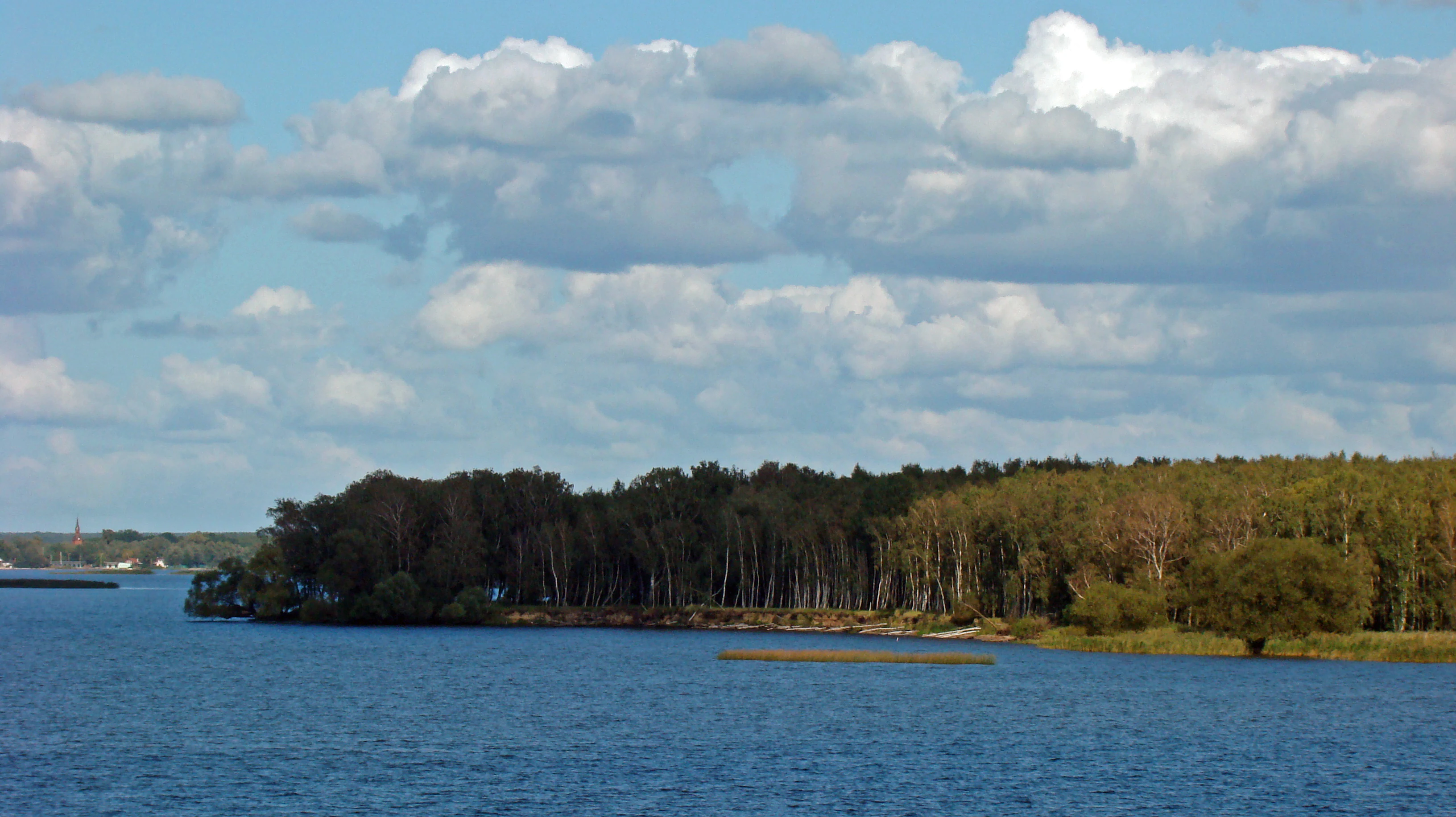
A wide view of a forested shoreline meeting a calm blue lake under a sky filled with fluffy white clouds.
View of the wooded shoreline within the Olszanka Nature Reserve, part of the Puszcza Goleniowska region.

Puszcza Goleniowska history and protected-area timeline

The name Puszcza Goleniowska dates back to the Middle Ages and derives from the town of Goleniów near the heart of the forest. The earliest documented reference to the area appears in 1349, when the woodland is mentioned as part of the hunting grounds of the Dukes of Western Pomerania.

Throughout much of its early history, the forest functioned as a privileged hunting territory for the ruling dynasty, which limited settlement and helped preserve extensive tracts of woodland. In the second half of the eighteenth century, however, expanding settlement and agricultural pressure led to significant deforestation across the area.

In the modern era, the forest has been gradually reconstituted and reorganized under state forestry. In 1996, the southern part of the complex, managed by the Kliniska forest district, was incorporated into the Puszcze Szczecińskie Promotion Forest Complex, which recognizes areas of high ecological and social value. Today the central, northern, and eastern portions are managed respectively by the Goleniów, Rokita, and Nowogard forest districts, reflecting the scale and division of the contemporary forest estate.

Puszcza Goleniowska landscape and geographic character

The landscape of Puszcza Goleniowska is shaped by the flat terrain of the Równina Goleniowska plain, a typical post-glacial surface in the West Pomeranian region. Elevations are modest, with the highest points barely exceeding fifty meters above sea level, including an unnamed hill above Jezioro Przybiernowskie at 53 meters and Góra Jaźwinki at 52 meters.

The forest is interwoven with a network of rivers and small lakes. The Ina, Płonia, Gowienica, Wołczenica, Krępa, and Grzybnica rivers cross the area, supporting wetland vegetation and providing the hydrological backbone of the boggy zones. Lakes such as Jezioro Przybiernowskie, Jezioro Szczucze, Jezioro Okonie, and smaller unnamed water bodies add to the standing-water character of parts of the complex.

Open relief features are present but gentle. Small hills like Kopice, Sibinka, Trawna Góra, Góra z Wieżą, and Góra Lotnika break up the otherwise level canopy and often serve as lookout points or local landmarks. The overall impression is of an expansive, low-profile woodland marked by quiet transitions between dry pine forest, marshy alder stands, and open water.

Puszcza Goleniowska ecosystems, habitats, and plant life

Ecologically, Puszcza Goleniowska is a textbook example of a southern Baltic lowland forest, with a strong emphasis on coniferous and boggy habitats. Around 80 percent of the wooded area consists of coniferous trees, overwhelmingly pine, with a small share of spruce introduced artificially during the nineteenth century. The remaining 20 percent is composed of broadleaf species, especially beech and black alder, the latter being the key species in wet, peat-influenced environments.

The vertical ecological structure of the forest is strongly tied to local hydrology. The lowest-lying, waterlogged depressions support riparian forests, which give way to wet alder woodland on slightly higher, still saturated ground, and then to classic bog coniferous forest where pine dominates on peat substrates. This sequence creates a clear and visually striking gradient between dry sandy pinewoods, damp mixed forest, and open bog.

In addition to the dominant tree species, the forest hosts birch, oak, ash, sycamore maple, elm, other maples, willows, and poplars. The shrub layer includes bird cherry, rowan, hazel, hawthorn, raspberry, blackberry, and viburnum. The forest's protected areas also shelter rare communities, including relict yew stands and old-growth deciduous patches that contrast with the surrounding planted pine forests and significantly enrich the overall biodiversity.

Puszcza Goleniowska wildlife and species highlights

The wildlife of Puszcza Goleniowska reflects the mixed habitats of dry pine forest, wet alderwood, and open bog. The most characteristic large mammals are roe deer and wild boar, which are widespread throughout the forest and form the core of the area's ungulate population.

The forest is particularly notable for its birds of prey and other large bird species. White-tailed eagles nest here, alongside common buzzards, common ravens, red kites, and common cranes, the last often visible and audible in wetland clearings and bogs. These species give the forest an important identity for birdwatchers and contribute to its designation as a bird-focused Natura 2000 site.

Larger carnivores and megafauna appear only occasionally, but their presence elevates the ecological profile of the area. Gray wolves roam the forest sporadically, and moose are recorded on an irregular basis. This combination of common forest fauna, significant raptors, and rare large mammals makes the wildlife profile of Puszcza Goleniowska unusually varied for a lowland forest system.

Puszcza Goleniowska conservation status and protection priorities

Conservation is one of the defining identities of Puszcza Goleniowska, expressed through a dense patchwork of protected areas at multiple administrative levels. Numerous nature reserves have been established within the forest to safeguard rare flora and fauna, including Czarnocin, Białodrzew Kopicki, Olszanka, Krzywicki Mszar, Wrzosiec, Uroczysko Święta, Cisy Rokickie, and Wiejkowski Las. The former Wilcze Uroczysko reserve was abolished in 2006 and merged into the Olszanka reserve, simplifying the structure in the northwestern part of the forest.

Beyond strict reserves, the forest benefits from broader landscape-scale protection. Two landscape protection complexes, the Przybiernowskie Cisy and Sarni Las complexes, recognize areas of high natural and scenic value. On top of this, two Natura 2000 sites, the bird area Puszcza Goleniowska and the habitat area Ostoja Goleniowska, embed the forest in the European conservation network.

The southern part of the complex, managed by the Kliniska forest district, has been part of the Puszcze Szczecińskie Promotion Forest Complex since 1996. This designation recognizes the area as a model region for sustainable forestry that balances timber production with ecological, social, and educational functions. Together these layers create one of the more intensively conserved lowland forest systems in northern Poland.

Puszcza Goleniowska cultural meaning and human context

Puszcza Goleniowska carries a cultural imprint shaped by its medieval role as a royal and ducal hunting ground. The earliest written reference, dating to 1349, places the forest within the hunting territory of the Dukes of Western Pomerania, a status that long restricted settlement and helped maintain its continuity as a wooded landscape.

Local folklore is anchored in specific landmarks within the forest. In Kliniska Wielkie stands a roughly 450-year-old small-leaved lime tree known as Anna, named, according to legend, after Anna Jagiellonka, the wife of Duke Bogusław X of Pomerania, who reportedly rested beneath it. The tree has become a local cultural icon and is integrated into cycling and hiking routes named after the duchess.

The forest also retains memory of more recent historical upheaval. Before 1945, the area was known by its German name Gollnower Heide, reflecting the region's complex twentieth-century history. The names of nearby towns, the layered administrative structure, and the continued network of forest districts show how successive governance systems have all left their mark on the cultural landscape of Puszcza Goleniowska.

Top sights and standout views in Puszcza Goleniowska

Puszcza Goleniowska stands out as one of the most extensive contiguous lowland forests in northwestern Poland, combining large-scale pine woodland, rare yew and bog habitats, and a tightly woven system of nature reserves and Natura 2000 sites.

Its mosaic of dry pine forest, wet alderwood, peat bogs, and small lakes supports an unusually rich mix of wildlife, from roe deer and wild boar to white-tailed eagles, common cranes, and occasional wolves and moose. The cultural layer, from medieval hunting grounds to the legendary lime tree of Anna Jagiellonka, adds a human dimension that complements the ecological character of the area.

Best time to visit Puszcza Goleniowska

Puszcza Goleniowska rewards visitors year-round, with each season offering a different perspective on its landscape. Spring brings renewed growth in the broadleaf understory, active birdlife, and the return of migratory species to the bog clearings, making it a particularly rewarding time for birdwatching and nature photography.

Summer offers the densest forest cover and the most comfortable conditions for hiking and cycling along the network of marked trails that connect the reserves and viewpoints. Autumn highlights the pine-dominated forests with cooler temperatures, softer light, and the activity of deer and wild boar.

Winter transforms the flat woodland into a quiet, low-light landscape where the silhouettes of birches and alders stand out against the snow, and birds of prey are easier to spot against open surroundings. Because the forest is gently rolling and accessible from several towns, seasonal visits can be planned around specific interests such as raptor observation, mushroom foraging, or simply experiencing large-scale lowland forest scenery.


Monthly climate preview

Measured temperature ranges and precipitation patterns derived from representative coordinate records

Puszcza Goleniowska Climate Normals and Long-Term Weather by Month

Historical climate records from 1991 to 2000 trace the measured monthly temperature and precipitation rhythm across Puszcza Goleniowska. Detailed multi-year data distributions help researchers compare average minimum and maximum thresholds throughout the entire annual cycle.
Annual mean9 °C
-1 °C19 °C
Jan-1°
Feb
Mar
Apr
May13°
Jun17°
Jul19°
Aug19°
Sep14°
Oct
Nov
Dec
Warmest month
July

19 °C

Coolest month
January

-1.4 °C

Wettest month
July

2.6 mm/day

Driest month
April

1.2 mm/day

Park location guide

Geography guide, regional context, and park location map for Puszcza Goleniowska

Puszcza Goleniowska park geography, regions, and map view in Poland

Understand where Puszcza Goleniowska sits in Poland through a broader geographic reading of the surrounding landscape, nearby location context, and its mapped position within the national park landscape.

How Puszcza Goleniowska fits into Poland

Poland, officially the Republic of Poland, is a Central European country spanning from the Baltic Sea in the north to the Carpathian Mountains in the south. It borders Germany, Czech Republic, Slovakia, Ukraine, Belarus, Lithuania, and Kaliningrad Oblast. The country has a temperate climate, diverse landscapes, and is known for its rich history, cultural heritage, and strong economic position within the EU.

Wider geography shaping Puszcza Goleniowska in Poland

Poland occupies 312,696 km2 in Central Europe, extending from the Baltic Sea coast in the north to the Sudetes and Carpathian Mountains in the south. It borders Germany to the west, Czech Republic and Slovakia to the south, Ukraine and Belarus to the east, and Lithuania and Kaliningrad Oblast to the northeast. The landscape includes lowland plains, uplands, and mountain ranges.

Map view of Puszcza Goleniowska

Use this park location map to pinpoint Puszcza Goleniowska in Poland, understand its exact geographic position, and read its mapped placement within the surrounding landscape more clearly.

Pigeon | © OpenStreetMap contributors

Location context for Puszcza Goleniowska

West Pomeranian Voivodeship

Explore protected area views, pine woodland habitats, and post-glacial terrain across the region.

Puszcza Goleniowska Photos and Landscape Scenery: Visualizing the Lowland Forest

Visual documentation captures the flat terrain, dense pine canopy, and wetland habitats defining Puszcza Goleniowska. Examining these protected area photographs reveals the ecological character and quiet topography of the northwestern Polish lowland forest.

A wide view of a forested shoreline meeting a calm blue lake under a sky filled with fluffy white clouds.

A dirt path leading into a dense green forest, lined by mature trees and dappled sunlight.

Park atlas

Compare regional geography, lowland pine forests, and adjacent protected areas in Western Pomerania

Explore Other Parks Near Puszcza Goleniowska and Protected Landscapes

Browse nearby national parks and connected conservation zones to study the broader post-glacial terrain of northwestern Poland. Examining surrounding regional geography helps place Puszcza Goleniowska within a wider network of protected natural landscapes.
Protected areaZachodniopomorskie
Park boundaries overlap#1 closest

Northwest

Łąki Skoszewskie Protected Area: Geography, Mapped Terrain, and Wetland Landscapes

Coastal marshland and bird sanctuary in Zachodniopomorskie

Located along the Szczecin Lagoon, Łąki Skoszewskie consists of extensive wet meadows, alder carrs, and Scots pine forests. This protected area provides a detailed look at the hydrological networks and coastal transition zones that define the unique natural landscape of northwestern Poland.

Area
90.834 km²
Established
2004
Relief
Lowland
Climate
Temperate
Protected areaZachodniopomorskie
Park boundaries overlap#2 closest

Northwest

Ujście Odry i Zalew Szczeciński: Protected Area Geography and Estuarine Landscape Mapping

Coastal lagoons, riverine deltas, and island habitats in Zachodniopomorskie.

This extensive protected area offers a comprehensive view of the Oder estuary as it meets the Baltic Sea. The landscape comprises broad lagoons, branching river channels, and coastal islands that provide crucial habitat for migratory waterbirds and sustain a rare brackish water ecosystem. Use this geographic entry to analyze the boundaries, terrain, and interconnected waterways of this major Polish nature site.

Area
526.12 km²
Established
2008
Relief
Lowland
Scope
Mixed
Protected areaZachodniopomorskie
2.7 km away#3 closest

Northwest

Police - kanały Protected Area: Mapping Industrial Infrastructure and Ecological Conservation in Zachodniopomorskie

Underground hibernation habitats on the Równina Wkrzańska plain

Police - kanały is an unusual protected area in northern Poland defined by four kilometers of subterranean canals. These industrial remnants provide essential winter habitat for regional bat populations, marking a rare intersection between human-built heritage and biological conservation within the flat lowland plains of the Zachodniopomorskie region.

Area
1.121 km²
Established
2008
Relief
Lowland
Scope
Terrestrial
Protected areaZachodniopomorskie
About 5.5 km away#4 closest

Northwest

Park Natury Zalewu Szczecińskiego: Protected Coastal Landscape and Regional Geography Atlas

A pioneer in active Natura 2000 conservation and lagoon habitat preservation

Situated in the West Pomeranian region, Park Natury Zalewu Szczecińskiego covers a mosaic of coastal pastures, reed-bordered lagoons, and pine forests. This protected area stands out for its active management approach, integrating traditional grazing into a modern conservation model that sustains the biological integrity of the Szczecin Lagoon shorelines and adjacent woodland mosaics.

Area
40 km²
Established
2005
Relief
Lowland
Scope
Mixed
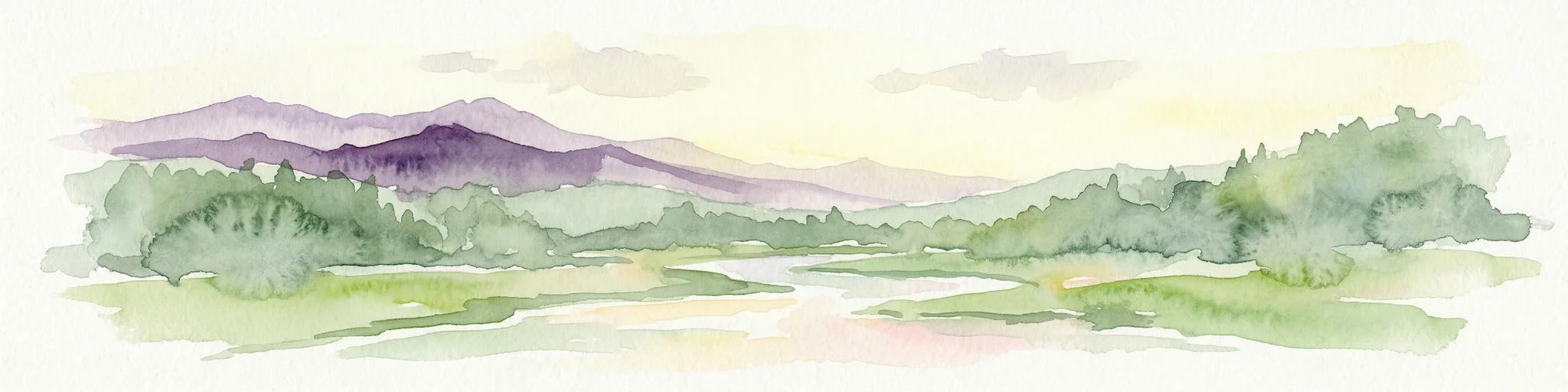
Watercolor painting depicting mountains, rivers, and green terrain
National parkWest Pomeranian Voivodeship
11 km away#5 closest

Northwest

Wolin National Park: Coastal Protected Landscape and Glacial Terrain in West Pomeranian Voivodeship

Explore Poland's first marine national park and its dynamic geography.

Wolin National Park offers a profound look into Poland's protected coastal geography. This national park in the West Pomeranian Voivodeship is distinguished by its high sea cliffs, inclusion of Baltic Sea and Szczecin Lagoon waters as Poland's first marine protected area, and a landscape sculpted by glacial moraines. Discover the park's complex delta systems, ancient forests, and the mapped terrain that supports significant bird migration, providing a rich focus for atlas exploration.

Area
109.37 km²
Established
1960
IUCN
II
Visitors
1.5M annual
National parkZachodniopomorskie Voivodeship
11 km away#6 closest

Northwest

Woliński Park Narodowy: Atlas Overview of Protected Coastal and Marine Environments

Examining moraine landscapes and marine park boundaries.

Woliński Park Narodowy stands as a critical protected area in the Zachodniopomorskie Voivodeship, blending terrestrial moraine ridges with marine ecosystems. This atlas entry provides geographic context for its coastal cliffs, inland lake district, and the expansive river delta that supports rare avian species.

Area
109.37 km²
Established
1960
Visitors
1.5M annual
Relief
Upland
Protected areaWest Pomeranian Voivodeship
13 km away#7 closest

North

Wybrzeże Trzebiatowskie Protected Area: Coastal Wetlands and Baltic Shoreline Map

A diverse wetland corridor in the West Pomeranian Voivodeship.

Wybrzeże Trzebiatowskie represents a significant stretch of the Baltic coastline, characterized by a narrow and elongated geographic profile. The protected landscape highlights a complex interplay of lagoon lakes, river floodplains, and classic dune systems, providing critical habitat within the broader West Pomeranian regional geography.

Area
317.576 km²
Established
2007
Relief
Lowland
Scope
Mixed
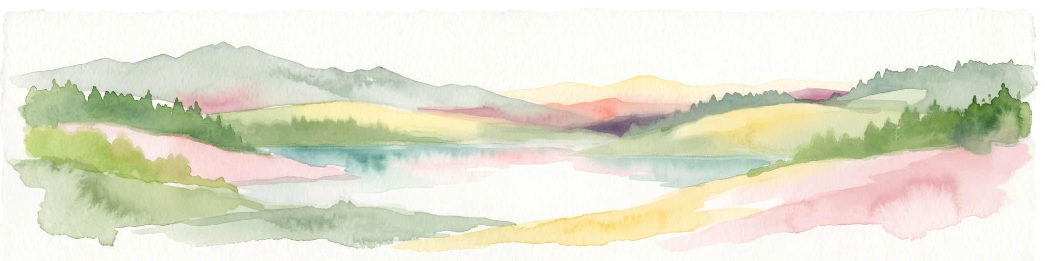
Watercolor painting of a green and pink abstract landscape featuring rolling hills and forested areas.
Protected landscapeWest Pomeranian Voivodeship
About 14 km away#8 closest

Northwest

Puszcza Wkrzańska Protected Landscape: Regional Forest Geography and Mapped Terrain Atlas

Transboundary pine-beech woodland and wetland ecosystems in West Pomeranian Voivodeship.

The Puszcza Wkrzańska forest complex represents a major protected landscape in northwestern Poland. Its geography is characterized by glacial sandy uplands, river-carved valleys, and vital wetland reserves. This atlas entry provides a detailed look at the forest boundaries, the surrounding hydrography, and the distinct natural terrain defining this essential Pomeranian wilderness.

Area
1,550 km²
Relief
Upland
Climate
Temperate
Access
Easy access

Common questions about visiting, size, designation, and location context for Puszcza Goleniowska

Puszcza Goleniowska FAQs for park facts, access, geography, and protected area context

Find quick answers about Puszcza Goleniowska, including protected-area facts, park geography, trail and visitor context, and how the park fits into its surrounding country and regional landscape.
MoriAtlas Explorer

Continue Your Protected Areas Search Across the Global Atlas

Deepen your exploration by continuing the structured search for national parks and protected areas worldwide. Utilize the comprehensive filtering capabilities to compare different conservation landscapes and refine your understanding of global park geography. Discover more about the distribution and characteristics of protected natural areas.

Global natural geography