
Mori Atlas logo
Nature reserveRéserve naturelle régionale de la galerie du Pont-des-Pierres

Mapping the underground galleries and gorge terrain of this Ain department nature reserve

Réserve naturelle régionale de la galerie du Pont-des-Pierres Protected Area and Landscape

The Réserve naturelle régionale de la galerie du Pont-des-Pierres encompasses a unique landscape in the Auvergne-Rhône-Alpes region, centered on a nearly one-kilometer hydroelectric gallery near the Valserine gorges. This protected area serves as a critical refuge for diverse chiroptera species and cliff-dwelling wildlife. The site preserves complex cave habitats and riverine terrain, offering a specialized look into the ecological geography of the southern Jura mountains.

regional nature reservebatscave habitatchiropteraValserine gorgesHaut-Jura
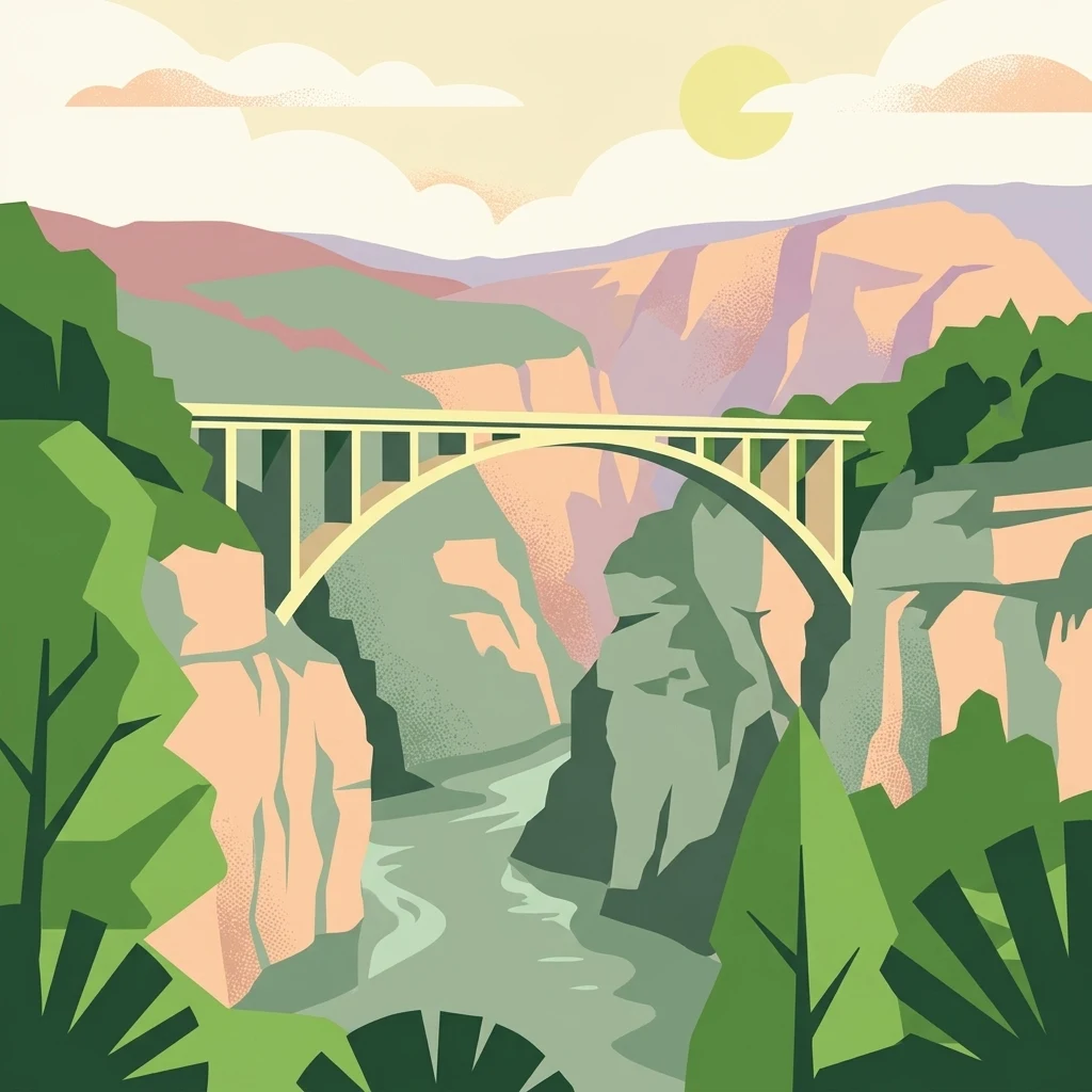
A stylized flat vector illustration of an arched bridge spanning a steep, forested canyon with a river flowing through the bottom under a soft-toned sun.

Réserve naturelle régionale de la galerie du Pont-des-Pierres

Nature reserve

Park overview

Structured park overview, official facts, and landscape profile for Réserve naturelle régionale de la galerie du Pont-des-Pierres

Réserve naturelle régionale de la galerie du Pont-des-Pierres park facts, protected area profile, and essential visitor context

Review the core facts for Réserve naturelle régionale de la galerie du Pont-des-Pierres, including designation, size, terrain, visitor scale, habitats, and operating context in one park-focused overview.

About Réserve naturelle régionale de la galerie du Pont-des-Pierres

The Réserve naturelle régionale de la galerie du Pont-des-Pierres is a compact but ecologically focused protected area in the southern Jura mountains. Administratively it is a regional nature reserve of about 9.27 hectares, lying entirely within the commune of Montanges in the department of Ain and within the broader perimeter of the Parc naturel régional du Haut-Jura. Its territory is divided into two sectors flanking the Pont des Pierres, a notable crossing point of the Valserine river, and includes the artificial gallery itself.

The defining feature of the reserve is a 931-meter subterranean gallery originally driven through the rock in 1929 to divert water from the Valserine for a hydroelectric power station. The industrial project was abandoned, but the tunnel remained and eventually came into the ownership of Électricité de France from 1947. Over the following decades it transformed, without human intent, into one of the most important underground bat roosts in the region. Constant internal temperatures and humidity levels, combined with the length and openness of the gallery, produce a sequence of microclimatic zones, and bat species distribute themselves along this gradient: western barbastelles near the entrance, then Schreibers' long-fingered bats, and finally greater horseshoe bats deeper inside.

The reserve's surface area complements the underground habitat. It includes stretches of cliff above the Valserine, sections of riverside vegetation, and rocky slopes that harbor protected plant species such as the European Michaelmas daisy (Aster amellus), as well as cliff-nesting birds among which the common raven, wallcreeper, and peregrine falcon are notable. A hiking trail crosses the reserve, although public access to the gallery itself is forbidden in order to limit disturbance to the bats, whose populations have been carefully documented by speleologists from Bellegarde-sur-Valserine since the late 1960s.

Overall, the reserve combines a small surface area with an exceptionally focused conservation mission: the long-term protection of an underground bat population that has been continuously monitored for more than forty years, within a broader landscape of gorges, cliffs, and upper-Jura forest that the regional and European protected-area networks have repeatedly recognized as worthy of safeguarding.

Quick facts and research context for Réserve naturelle régionale de la galerie du Pont-des-Pierres

The Réserve naturelle régionale de la galerie du Pont-des-Pierres is a regional nature reserve (réserve naturelle régionale) of 9.27 hectares located in the commune of Montanges, department of Ain, within the Auvergne-Rhône-Alpes region. It lies inside the Parc naturel régional du Haut-Jura and is centered on a 931-meter artificial gallery next to the Pont des Pierres on the Valserine river, between an entrance elevation of about 445 meters and a river level of 386 meters.

The site was first classified as a voluntary nature reserve on 9 December 1997 and was reclassified under the regional reserve regime on 8 July 2009. Stewardship is provided by the Ligue pour la protection des oiseaux Auvergne-Rhône-Alpes (LPO AURA), successor to the earlier Centre ornithologique Rhône-Alpes (CORA) Faune Sauvage. The protected area also falls within a ZNIEFF, a prefectural biotope protection order covering the cliffs of the Semine-Valserine confluence, and the Natura 2000 site designated as 'GALERIE A CHAUVE-SOURIS DU PONT DES PIERRES'.

Protection and recognition

Review documented terrestrial protection scope and historical designation records

Réserve naturelle régionale de la galerie du Pont-des-Pierres Protection Status and Designation History

Terrestrial protection status for Réserve naturelle régionale de la galerie du Pont-des-Pierres is established from official designation records dating back to 2009. Official documentation outlines the recorded protection scope and baseline parameters without incorporating international recognition sources.

Protection details

Protection scope
Terrestrial
Designated year
2009
Transboundary protection
No
WDPA ID
555514335
Park context

Deeper park guide and search-rich context for Réserve naturelle régionale de la galerie du Pont-des-Pierres

Réserve naturelle régionale de la galerie du Pont-des-Pierres history, landscape, wildlife, and travel context

Explore Réserve naturelle régionale de la galerie du Pont-des-Pierres through its history, landscape character, ecosystems, wildlife, conservation priorities, cultural context, and seasonal travel timing in a structured park guide built for atlas discovery and search intent.

Why Réserve naturelle régionale de la galerie du Pont-des-Pierres stands out

The reserve is best known for safeguarding a remarkable underground bat sanctuary in an unused hydroelectric diversion gallery near the Pont des Pierres on the Valserine. Gradients of humidity and temperature along the nearly one-kilometer tunnel create distinct microhabitats that support at least fifteen bat species, including four considered especially notable for conservation in France: the Schreibers' long-fingered bat, the greater horseshoe bat, the western barbastelle, and the lesser horseshoe bat. The site is also recognized within French and European protected-area networks for its layered legal protection, its long-term population monitoring that began in the late 1960s and early 1970s, and its location within the scenic gorges of the Valserine, where cliffs and riverbanks host additional species of conservation interest.
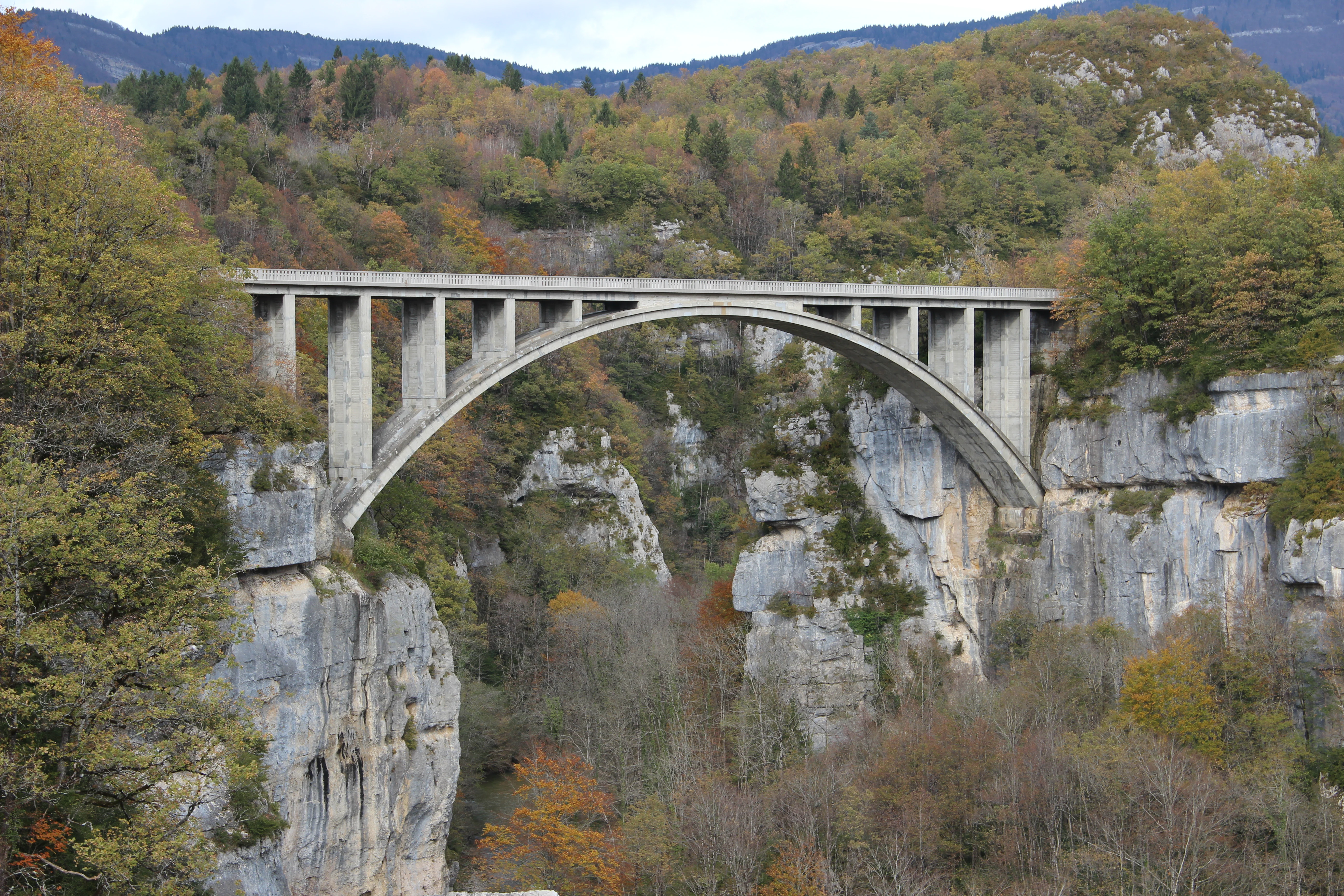
A large concrete arch bridge spans a deep, rocky gorge surrounded by autumn foliage in a forested valley.
The Pont des Pierres bridge spanning the rocky gorge of the Valserine river.

Réserve naturelle régionale de la galerie du Pont-des-Pierres history and protected-area timeline

The gallery at the heart of the reserve has an unusual industrial origin. In 1929, as part of a hydroelectric project on the Valserine river, engineers began excavating a diversion tunnel nearly one kilometer long to obtain a sufficient head of water. The planned power station was never completed, but the tunnel itself was finished and later came into the possession of Électricité de France in 1947. Abandoned by industry, the gallery was progressively taken over by nature.

Speleologists from the nearby town of Bellegarde-sur-Valserine were the first to document bats using the gallery as early as 1969, and systematic winter inventories began in 1972. By the late twentieth century the site had become recognized as a significant hibernaculum for cave-dwelling bats, and in 1998 grilles were installed at the entrance. These grilles allow bats to pass freely while excluding human visitors, preserving the security of the underground colony.

Formal protection followed relatively quickly. On 9 December 1997, the site was classified as a réserve naturelle volontaire, and the designation was inaugurated in June 2001 by Dominique Voynet. The protection regime was later modernized and on 8 July 2009 the site was reclassified as a réserve naturelle régionale, aligning it with the broader French framework of regional nature reserves. The management role has been carried successively by the Centre ornithologique Rhône-Alpes (CORA) Faune Sauvage and, after restructuring, by the Ligue pour la protection des oiseaux Auvergne-Rhône-Alpes.

Réserve naturelle régionale de la galerie du Pont-des-Pierres landscape and geographic character

The landscape of the reserve is defined by the deep, narrow gorges of the Valserine river in the southern Jura. The Pont des Pierres itself crosses the river at a striking point where cliffs rise sharply on either side, and the site commands open views into these gorges. The entrance of the gallery sits at roughly 445 meters in elevation while the river below flows at about 386 meters, illustrating the steepness of the terrain.

The artificial gallery runs through the rock below these cliffs, and although it is not a natural landform, it has become an integral part of the reserve's landscape character. Its 931-meter length, four openings to the exterior, and a ventilation shaft give the tunnel its particular microclimatic structure, which in turn defines how bats and humidity-sensitive organisms distribute themselves within it.

Réserve naturelle régionale de la galerie du Pont-des-Pierres ecosystems, habitats, and plant life

The natural value of the reserve is closely tied to the geology and microclimate of the Valserine gorges. The cliffs and rocky slopes support a mosaic of habitats, from exposed rock faces and thin cliff soils to riverside vegetation along the Valserine. The protected plant Aster amellus, the European Michaelmas daisy, is documented on the site and is one of the indicators used to assess the botanical interest of the reserve.

The gallery itself is the core of the site's ecological identity. Its length, partial openings, and stable internal conditions create gradients of temperature and humidity that allow different bat species to occupy the sections best suited to them. The result is a stratified underground habitat in which the entrance zone, the middle sections, and the deeper areas each support different assemblages of cave-dwelling wildlife. Long-term monitoring here provides one of the longest continuous records of bat population change in the region, and the data show a generally declining trend across the species present.

Réserve naturelle régionale de la galerie du Pont-des-Pierres wildlife and species highlights

The reserve is distinguished primarily for its bat fauna. At least fifteen species of bat use the gallery, and four are considered especially noteworthy for conservation: Schreibers' long-fingered bat (Miniopterus schreibersii), the greater horseshoe bat (Rhinolophus ferrumequinum), the western barbastelle (Barbastella barbastellus), and the lesser horseshoe bat (Rhinolophus hipposideros). Their distribution inside the tunnel reflects the gradient of microclimatic conditions, with barbastelles favoring the entrance zone, Schreibers' bats the middle sections, and greater horseshoe bats the deepest parts.

Mammals other than bats also use the broader reserve. The European lynx, chamois, and European wildcat are recorded in the area, reflecting the wider Haut-Jura fauna that benefits from the regional park context. Cliff habitats host breeding birds such as the common raven, the wallcreeper, the peregrine falcon, and the common kestrel, while the fast-flowing Valserine supports the white-throated dipper. In addition, the reserve shelters protected insects of conservation interest, including the Dryad butterfly (Lopinga achine, 'bacchante' in French sources) and the golden-ringed dragonfly relative Cordulegaster bidentata.

Réserve naturelle régionale de la galerie du Pont-des-Pierres conservation status and protection priorities

The reserve's conservation significance rests on its role in protecting both an exceptional underground bat refuge and an underlying landscape of cliffs and river gorges. The gallery is one of the most important bat hibernacula in the southern Jura, and the more than forty years of continuous population monitoring make the site a key reference point for understanding regional trends in cave-dwelling chiroptera, which have shown a general decline during the monitoring period.

The area has accumulated multiple overlapping layers of protection. It is a ZNIEFF of type 1, originally designated as 'PONT DES PIERRES LA NAMPHEE' and later renamed 'Gorges de la Valserine en amont de Montanges'. It is covered by a prefectural biotope protection order for the cliffs of the Semine-Valserine confluence, and it is part of the Natura 2000 network as the site 'GALERIE A CHAUVE-SOURIS DU PONT DES PIERRES' (FR8201648). Public access to the gallery has been restricted, and protective grilles installed in 1998 ensure that bats can continue to use the tunnel while human disturbance is minimized.

Réserve naturelle régionale de la galerie du Pont-des-Pierres cultural meaning and human context

Although the reserve itself is small and ecologically focused, its setting touches on a layer of regional industrial history. The Valserine river was studied in the early twentieth century as a potential source of hydroelectric power, and the gallery at Pont des Pierres is a tangible trace of those ambitions: an unfinished infrastructure project from 1929 that was overtaken by the energy policies of later decades and ultimately became a refuge for wildlife rather than for water diversion.

The reserve also fits into the broader cultural identity of the Haut-Jura, a region where small-scale agriculture, forestry, and karst and river landscapes coexist with a long speleological tradition. Local caving clubs from Bellegarde-sur-Valserine were the first to recognize the biological importance of the gallery in the late 1960s, anchoring the site's protection in a community with continued technical and scientific engagement with underground environments.

Top sights and standout views in Réserve naturelle régionale de la galerie du Pont-des-Pierres

A nearly one-kilometer former hydroelectric tunnel repurposed as a bat sanctuary, monitoring ongoing since 1969. At least fifteen bat species, including the notable Schreibers' long-fingered bat, greater horseshoe bat, western barbastelle, and lesser horseshoe bat. A compact 9.27-hectare footprint layered atop the Valserine gorges with ZNIEFF, biotope protection, and Natura 2000 status. Cliff and riverside habitats hosting lynx, chamois, wildcat, peregrine falcon, wallcreeper, and protected insects such as the Dryad butterfly.

Best time to visit Réserve naturelle régionale de la galerie du Pont-des-Pierres

Because the reserve's main interest is the bat colony inside the gallery, and public access to the tunnel itself is forbidden, any visit is really a visit to the surrounding landscape of the Pont des Pierres and the Valserine gorges, with the bat presence being a feature of the protected underground environment rather than a directly observable attraction. The site is most pleasant in late spring, summer, and early autumn, when walking conditions along the hiking trail through the reserve are at their best and the cliff and riverside flora, including Aster amellus, is in active growth. Winter is the season when the bat population is most ecologically significant, because the gallery functions as a hibernation site, but this is also when any disturbance is most damaging, which is why access is restricted.

Monthly climate preview

Long-term representative monthly temperature and precipitation data across twelve recorded cycles

Climate Normals and Annual Weather Patterns at Réserve naturelle régionale de la galerie du Pont-des-Pierres

Representative coordinates record annual temperature swings alongside steady daily precipitation averages at Réserve naturelle régionale de la galerie du Pont-des-Pierres. Examining the full monthly climate profile reveals complete statistical breakdowns across every recorded climatological period.
Annual mean9 °C
0 °C19 °C
Jan
Feb
Mar
Apr
May13°
Jun17°
Jul19°
Aug19°
Sep15°
Oct10°
Nov
Dec
Warmest month
July

18.8 °C

Coolest month
January

0.3 °C

Wettest month
November

3.9 mm/day

Driest month
March

2.8 mm/day

Park location guide

Geography guide, regional context, and park location map for Réserve naturelle régionale de la galerie du Pont-des-Pierres

Réserve naturelle régionale de la galerie du Pont-des-Pierres park geography, regions, and map view in France

Understand where Réserve naturelle régionale de la galerie du Pont-des-Pierres sits in France through a broader geographic reading of the surrounding landscape, nearby location context, and its mapped position within the national park landscape.

How Réserve naturelle régionale de la galerie du Pont-des-Pierres fits into France

France is a unitary semi-presidential republic and one of the world's largest economies. It borders Belgium, Luxembourg, Germany, Switzerland, Italy, Monaco, Andorra, and Spain, with a maritime border to the United Kingdom. The country is known for its cultural influence, art, cuisine, and political history spanning centuries.

Wider geography shaping Réserve naturelle régionale de la galerie du Pont-des-Pierres in France

France is located in Western Europe. Metropolitan France extends from the Rhine to the Atlantic Ocean and from the Mediterranean Sea to the English Channel and North Sea. The country borders Belgium, Luxembourg, Germany, Switzerland, Italy, Monaco, Andorra, Spain, and has a maritime border with the United Kingdom.

Map view of Réserve naturelle régionale de la galerie du Pont-des-Pierres

Use this park location map to pinpoint Réserve naturelle régionale de la galerie du Pont-des-Pierres in France, understand its exact geographic position, and read its mapped placement within the surrounding landscape more clearly.

Pigeon | © OpenStreetMap contributors

Location context for Réserve naturelle régionale de la galerie du Pont-des-Pierres

Auvergne-Rhône-Alpes

Visual exploration of the Valserine river gorges, limestone cliffs, and protected habitats

Réserve naturelle régionale de la galerie du Pont-des-Pierres Photos and Landscapes

Visual records illustrate the dramatic limestone terrain and riverbank environments defining Réserve naturelle régionale de la galerie du Pont-des-Pierres. Photographic archives provide essential context for understanding the protected landscapes and subterranean habitats of the southern Jura.

A large concrete arch bridge spans a deep, rocky gorge surrounded by autumn foliage in a forested valley.

A Greater Horseshoe Bat hanging upside down from a cave ceiling, wrapped in its wings with its face visible.

Park atlas

Compare nearby regional parks and protected landscapes across the southern Jura mountains.

Explore Protected Areas Near Réserve Naturelle Régionale de la Galerie du Pont-des-Pierres

Browsing other protected areas near Réserve naturelle régionale de la galerie du Pont-des-Pierres reveals broader ecological connections throughout the Valserine river gorges. Comparative park analysis across the surrounding Auvergne-Rhône-Alpes region highlights diverse terrain and regional conservation networks.
Nature reserveAuvergne-Rhône-Alpes
About 16 km away#1 closest

Northwest

Réserve naturelle régionale du récif fossile de Marchon - Christian Gourrat Geological Site

A protected Jurassic fossil reef in the Auvergne-Rhône-Alpes region

Located in the Ain department, this small nature reserve is scientifically renowned for its Kimmeridgian reef outcrop. The site protects a fossilized coral and rudist assemblage within the forêt de Marchon, offering a quiet, forested setting for studying France's ancient marine geological history.

Area
0.001 km²
Established
2015
IUCN
IV
Scope
Terrestrial
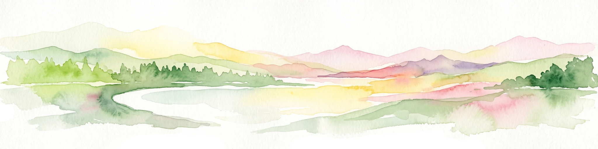
A watercolor landscape painting showing green hills, trees, and marshy river banks.
Nature reserveGeneva
About 17 km away#2 closest

East

Naturschutzgebiet Moulin de Vert: Protected Wetland and Forest Geography in Geneva

Detailed nature reserve map and regional landscape context

The Naturschutzgebiet Moulin de Vert nature reserve protects a mosaic of riverside woodland, meadows, and managed pond systems along the Rhône in the Canton of Geneva. Spanning approximately 132 hectares, this conservation area is recognized for supporting extensive biodiversity, from nesting peregrine falcons to diverse amphibian populations. Access this detailed geographic perspective to visualize the park boundaries, internal terrain features, and its ecological connection to the broader Swiss river landscape.

Area
1.32 km²
Established
2001
IUCN
IV
Wildlife reserveBourgogne-Franche-Comté
About 28 km away#3 closest

Northeast

Tourbières et lacs de la montagne jurassienne: Mapping High-Altitude Wetlands and Glacial Landscapes

A vast protected wildlife reserve in the Bourgogne-Franche-Comté region

Covering more than 12,000 hectares, this wildlife reserve forms a crucial conservation benchmark for peatland and glacial lake systems in the Jura Massif. The landscape encompasses deep combes, broad plateaus, and clear-water basins like Lac de Saint-Point, providing a vital habitat mosaic for diverse flora and fauna across the French highlands.

Area
121.56 km²
Established
2021
Relief
Mountain
Climate
Temperate
A soft, panoramic watercolor illustration of rolling hills, mountains, and trees in pastel shades of green, yellow, and pink.
Nature reserveAuvergne-Rhône-Alpes
About 31 km away#4 closest

West

Réserve naturelle nationale de la grotte de Hautecourt: Jura Mountain Cave Geography

Protected subterranean landscapes in the Ain department of France.

This nature reserve protects a complex underground environment characterized by a vertical 36-meter cave system and rich invertebrate biodiversity. Located on the flank of Mont Rosset in the Auvergne-Rhône-Alpes region, the area provides a crucial habitat that balances delicate subterranean passages with surface limestone ridges and dry grassland ecosystems.

Area
0.102 km²
Established
1980
IUCN
IV
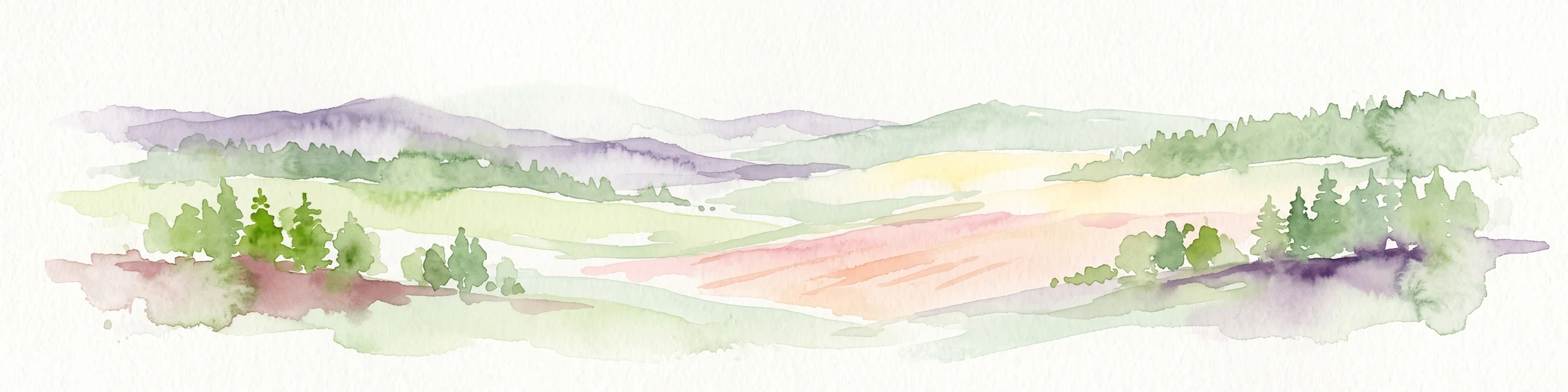
A horizontal watercolor painting depicting a soft, layered landscape with distant hills, gentle slopes, and clusters of evergreen trees in shades of green and purple.
Nature reserveBourgogne-Franche-Comté
About 40 km away#5 closest

North

Réserve naturelle régionale des tourbières du bief du Nanchez: Protected Jura Mountain Peatlands

Mapping bog systems and wet grassland geography in Eastern France

Located in the Jura department, this regional nature reserve preserves forty-nine hectares of vital peatland, including diverse mire communities and forested slopes. The site provides a critical look at montane landscape restoration, documenting significant bog flora and complex hydrological patterns along the Combe du Nanchez valley floor.

Area
0.488 km²
Established
2021
IUCN
IV
Relief
Upland
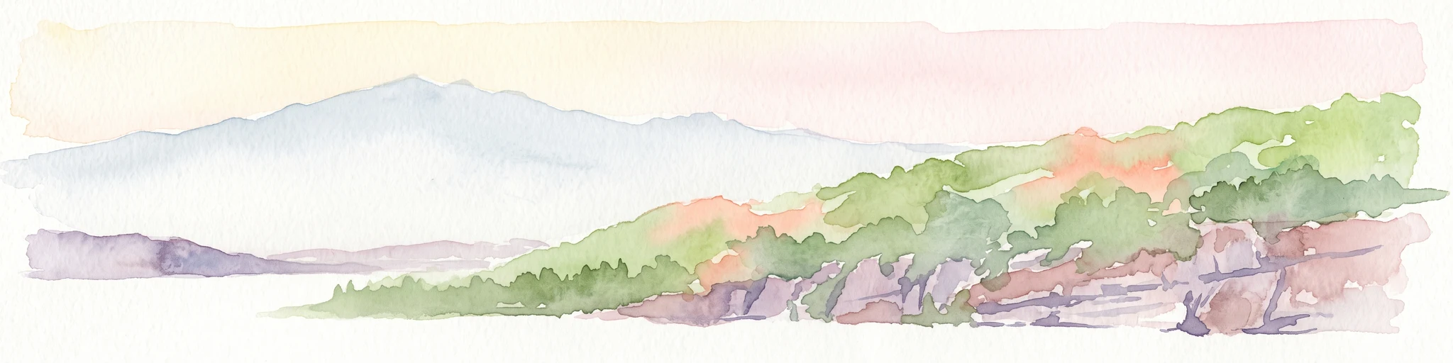
A horizontal watercolor painting depicting a gentle mountain silhouette behind a forested shoreline sloping toward the water.
Nature reserveFrance
About 46 km away#6 closest

Southeast

Roc de Chère Nature Reserve: Mapping the Botanical Diversity and Geological Features of Haute-Savoie

A protected alpine promontory bordering Lake Annecy

Roc de Chère stands as a distinct geological landmark where limestone and sandstone soils create sharp microclimate contrasts. This protected reserve provides a critical habitat for diverse plant species and rare dragonflies within a small, defined area of the French Alps. The site acts as a key element of the Lake Annecy landscape, offering insight into the post-glacial environmental history of the Savoie region through its protected cliffs and hollows.

Area
0.69 km²
Established
1977
Relief
Mountain
Climate
Temperate
Nature reserveAuvergne-Rhône-Alpes
About 55 km away#7 closest

Southwest

Réserve naturelle régionale des étangs de Mépieu: Atlas and Geographic Protected Area Overview

Wetlands, peatlands, and dry grasslands in northern Isère

The Réserve naturelle régionale des étangs de Mépieu offers a striking study in ecological contrast. This protected landscape contains a dense mosaic of five ponds and marshy terrain set directly against sun-exposed dry grasslands and heathland slopes. The site serves as a vital corridor for migratory birds and rare flora within the rolling countryside of the Auvergne-Rhône-Alpes region.

Area
1.618 km²
Established
2008
IUCN
IV
Relief
Lowland
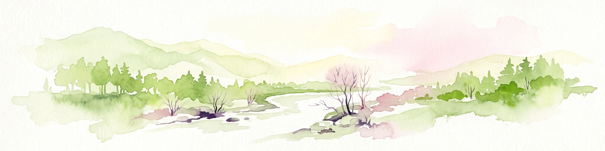
A soft, horizontal watercolor painting depicting a winding river flowing through a lush, green landscape with distant hills and sparse trees.
Nature reserveVaud
About 56 km away#8 closest

Northeast

Chanivaz, Delta de l’Aubonne: Geography, Map, and Protected Landscape Context

A rare glacial geotope and river delta on Lake Geneva.

Chanivaz, Delta de l’Aubonne provides a rich look at the alluvial fan of the River Aubonne. Explore its layered terrace terrain, protected reedbeds, and riparian forests in the canton of Vaud, representing one of the best-preserved natural river mouths remaining on the northern shore of Lake Geneva.

Area
3 km²
Established
2003
Relief
Lowland
Climate
Temperate

Common questions about visiting, size, designation, and location context for Réserve naturelle régionale de la galerie du Pont-des-Pierres

Réserve naturelle régionale de la galerie du Pont-des-Pierres FAQs for park facts, access, geography, and protected area context

Find quick answers about Réserve naturelle régionale de la galerie du Pont-des-Pierres, including protected-area facts, park geography, trail and visitor context, and how the park fits into its surrounding country and regional landscape.
MoriAtlas Explorer

Continue Your Protected Areas Search Across the Global Atlas

Deepen your exploration by continuing the structured search for national parks and protected areas worldwide. Utilize the comprehensive filtering capabilities to compare different conservation landscapes and refine your understanding of global park geography. Discover more about the distribution and characteristics of protected natural areas.

Global natural geography