
Mori Atlas logo
Nature reserveRéserve naturelle régionale du mont de Couple

A compact limestone ridge featuring rare chalk grassland habitats and panoramic coastal views

Réserve naturelle régionale du mont de Couple: Protected Chalk Escarpment and Regional Landscape

(Réserve naturelle régionale du mont de Couple (RNR235))

The Réserve naturelle régionale du mont de Couple preserves a rare calcareous escarpment within the northern Boulonnais region of France. Covering over thirteen hectares, this protected area safeguards vital chalk grassland ecosystems and orchid habitats while integrating historic military infrastructure into the modern landscape. Visitors discover a 360-degree vantage point across the Opal Coast and the Straits of Dover from this high point in the regional countryside.

calcareous grasslandchalk escarpmentcuesta landscapeOpal Coastregional nature reserveorchid habitat
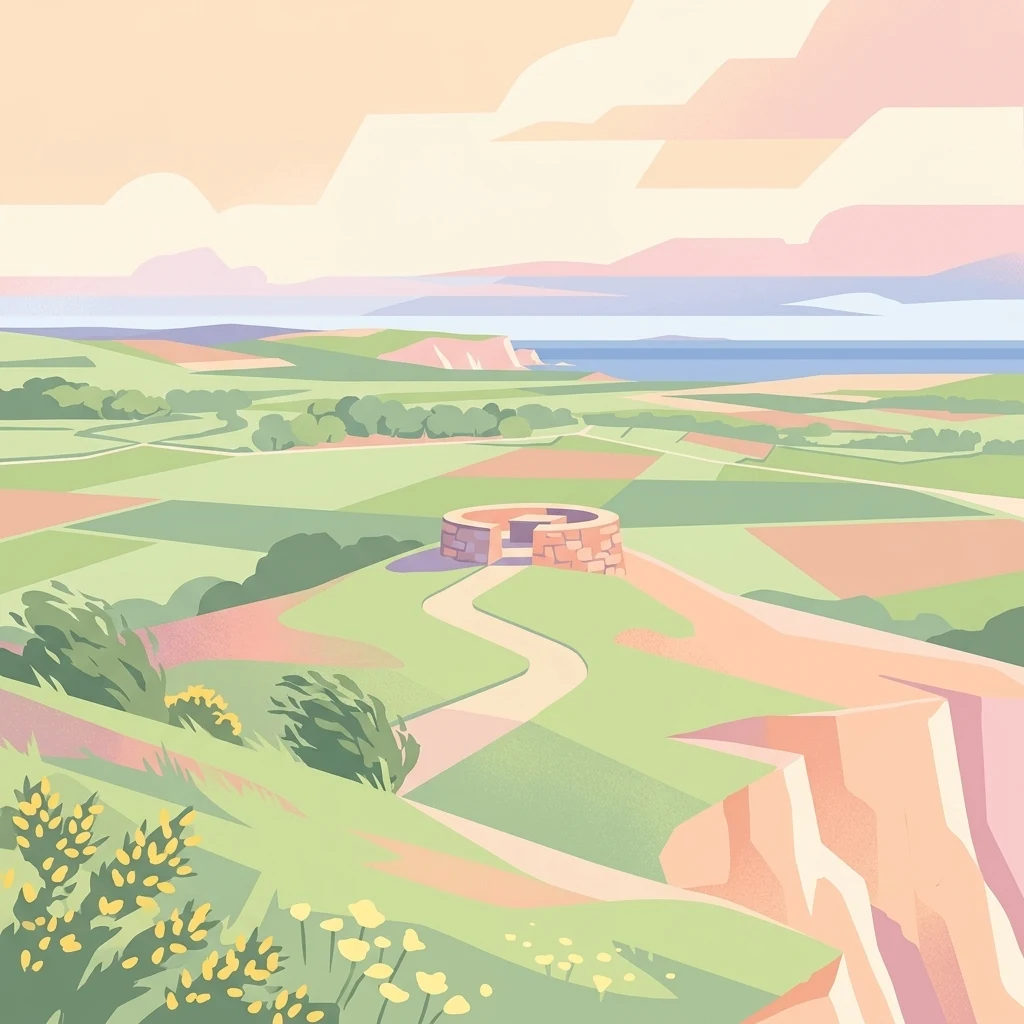
Digital illustration of a rolling green landscape with a circular stone structure at the center, winding paths, wildflowers in the foreground, and a distant sea under a soft-toned sky.

Réserve naturelle régionale du mont de Couple

Nature reserve

Park overview

Structured park overview, official facts, and landscape profile for Réserve naturelle régionale du mont de Couple

Réserve naturelle régionale du mont de Couple park facts, protected area profile, and essential visitor context

Review the core facts for Réserve naturelle régionale du mont de Couple, including designation, size, terrain, visitor scale, habitats, and operating context in one park-focused overview.

About Réserve naturelle régionale du mont de Couple

The Réserve naturelle régionale du mont de Couple occupies a modest but ecologically strategic footprint in the Boulonnais, the coastal hill country of northern France that frames the eastern side of the English Channel. Despite its small size of about 13.6 hectares, the reserve delivers a concentrated example of the regional transition from inland chalk landscapes to the dramatic cliffs and dunes of the Opal Coast. Its hilltop position, around 164 meters in altitude, makes it the highest point of the northern Boulonnais cuesta, a geological ridge that dips gradually northward toward the sea.

Ecologically, the reserve's defining feature is its calcareous grassland, a habitat type that has become increasingly rare across northwestern Europe as traditional grazing systems have disappeared. These open, sun-exposed limestone soils support an unusually diverse flora for such a compact area, with around a hundred plant species catalogued and a notable population of wild orchids. The botanical richness extends to seven regionally protected species and thirteen plants categorized as rare to exceptional, giving the site an outsized conservation significance within the regional network of protected areas.

Beyond botany, the reserve shelters a varied fauna. Approximately sixty bird species have been recorded, including the Meadow Pipit and the Lesser Whitethroat, both of which find habitat in the mosaic of grasses, scrub, and small wooded patches. Amphibians and reptiles such as the Common Toad and the Viviparous Lizard occupy damp microhabitats, while butterfly enthusiasts can observe species like the Marbled White and the Queen of Spain Fritillary over the flowering grasses in summer.

A particularly distinctive feature of the site is its post-war military heritage. The summit and slopes contain bunkers and tunnel galleries originally developed as an observation post, which are now used as bat roosts. This unusual synthesis of natural habitat and repurposed military infrastructure adds an unexpected cultural-historical layer to the reserve's identity. Visitors approaching from the nearby coast encounter a heady mix of chalk grassland flora, historical remnants, and broad coastal panoramas, an experience shaped by the reserve's position within the larger Parc naturel régional des Caps et Marais d'Opale network.

Quick facts and research context for Réserve naturelle régionale du mont de Couple

Located in the Pas-de-Calais within the Hauts-de-France region, on the commune of Audembert, the Réserve naturelle régionale du mont de Couple protects a limestone hill that reaches about 164 meters in altitude, the highest point of the Boulonnais cuesta. It lies roughly 3.5 kilometers from the North Sea and 13 kilometers from Calais, placing it firmly within the coastal-inland transition zone of the Opal Coast. The site covers around 13.6 hectares and corresponds to IUCN Category IV, recognizing its role in managing specific habitats and species rather than a full wilderness preserve.

Its ecological identity is dominated by calcareous grasslands, or pelouses calcicoles, habitats that support a rich flora including regionally protected plant species and a notable orchid population. The reserve is also recognized for its birds, bats, reptiles, amphibians, and butterflies. Originally established as a voluntary nature reserve in 1997, it was officially classified as a regional nature reserve by the regional council on 10 October 2011, and today it is administered by the regional park that oversees much of the surrounding protected countryside.

Protection and recognition

Official terrestrial protection history and formal conservation framework

Réserve naturelle régionale du mont de Couple Protection Status and Designation Records

Terrestrial protection status for Réserve naturelle régionale du mont de Couple was established in 2011 under recorded conservation frameworks. Official designation records outline the structural management scope and administrative parameters for this protected landscape.

Protection details

Protection scope
Terrestrial
Designated year
2011
Transboundary protection
No
WDPA ID
555514397
Park context

Deeper park guide and search-rich context for Réserve naturelle régionale du mont de Couple

Réserve naturelle régionale du mont de Couple history, landscape, wildlife, and travel context

Explore Réserve naturelle régionale du mont de Couple through its history, landscape character, ecosystems, wildlife, conservation priorities, cultural context, and seasonal travel timing in a structured park guide built for atlas discovery and search intent.

Why Réserve naturelle régionale du mont de Couple stands out

The reserve is best known for protecting one of the northernmost and highest fragments of the Boulonnais chalk cuesta, a calcareous escarpment that rises just inland from the Opal Coast. Its open limestone grasslands are exceptionally favorable for orchids and host a rich suite of regionally protected vascular plants, while the summit provides sweeping panoramic views across the Straits of Dover toward Cap Gris-Nez and Cap Blanc-Nez. The combination of chalk grassland biodiversity and dramatic coastal-inland scenery gives the site a distinctly dual identity, as both an ecological refuge and a viewpoint along the northern French coast. The reserve is also notable for the historical layers embedded in its landscape. Former wartime bunkers and galleries, part of the Atlantic Wall defensive network, have become refuges for bat colonies, turning the site's twentieth-century military history into an active component of its modern conservation value.
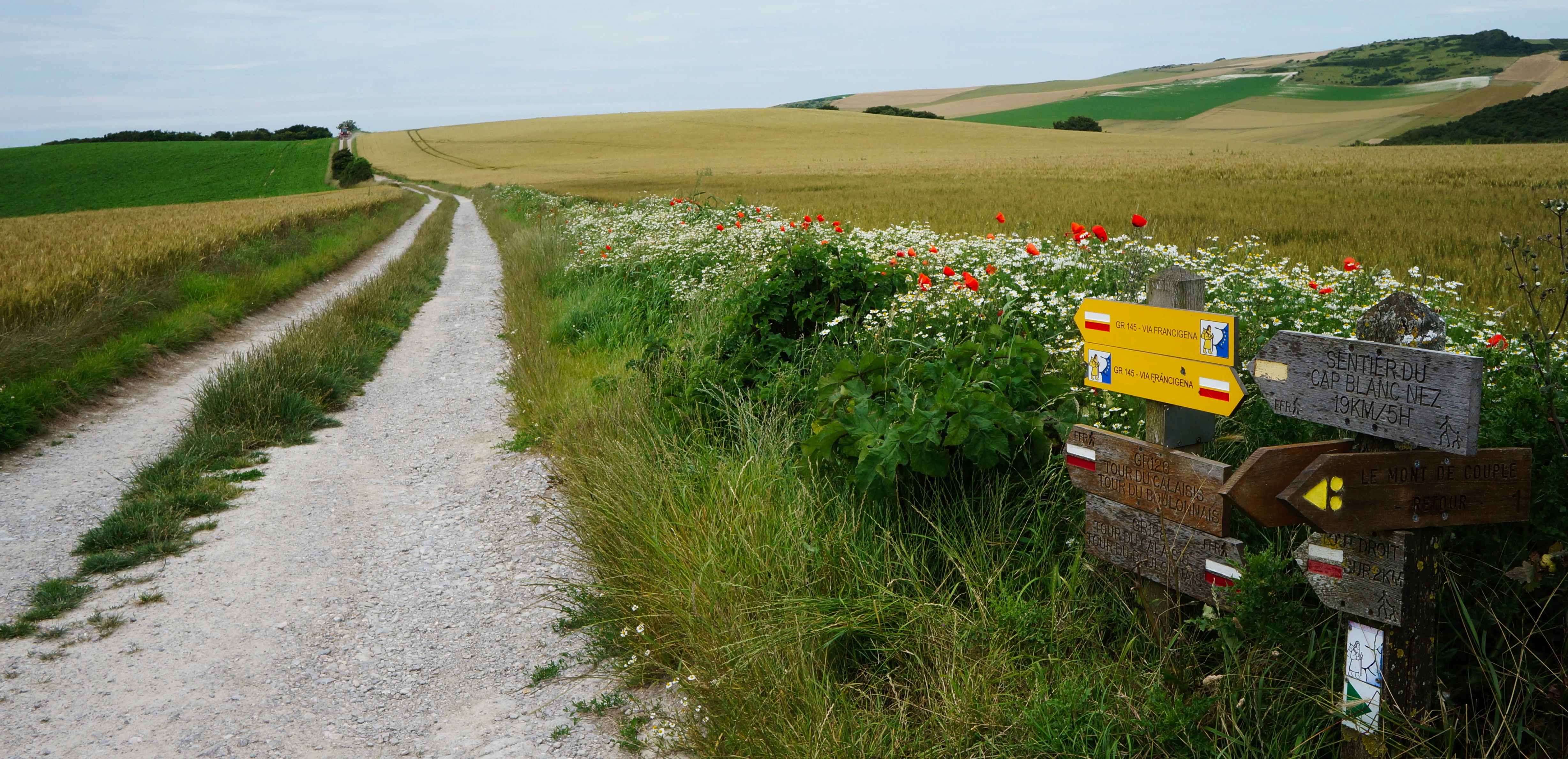
A dirt hiking trail winding through open fields in the French countryside, with a wooden signpost in the foreground showing hiking trail markings and directions.
A hiking trail intersection marked by wooden signposts within the Mont de Couple nature reserve.

Réserve naturelle régionale du mont de Couple history and protected-area timeline

The hill that now forms the Réserve naturelle régionale du mont de Couple was historically forested, like much of the surrounding Boulonnais chalk cuesta. Over the centuries, the woodland was cleared and the land converted to open pasture, fundamentally altering the ecological character of the site and laying the groundwork for the calcareous grasslands that define its modern conservation value.

During the twentieth century, the strategic value of the hill became apparent. The summit and its slopes were developed into a military observation post, most prominently by German forces during the Second World War as part of the broader Atlantic Wall defenses along the northern French coastline. A network of bunkers and underground galleries was constructed across the site. Some of these structures remain visible today and have acquired a second life as shelter sites for bats, an unintended but beneficial legacy of the site's military past.

Ecological protection came later. In 1997, the area was first recognized as a voluntary nature reserve, an early French mechanism that allowed private landowners and local stakeholders to commit to conservation management on a temporary basis. Building on this foundation, the Hauts-de-France regional council formally classified the site as a Réserve naturelle régionale on 10 October 2011, granting it an initial protected designation for a renewable period of ten years and placing its long-term management under the umbrella of the Parc naturel régional des Caps et Marais d'Opale.

Réserve naturelle régionale du mont de Couple landscape and geographic character

The landscape of the Mont de Couple reserve is defined by a single, dominant geological feature: a chalk escarpment that forms the northern segment of the Boulonnais cuesta. This gently tilted limestone ridge creates a steep, sun-facing slope that rises from the surrounding agricultural plain to a summit of roughly 164 meters, the highest elevation of the northern Boulonnais. Repeated here in miniature are the same structural patterns that, further west along the coast, give rise to the dramatic cliffs of Cap Gris-Nez and Cap Blanc-Nez.

The reserve is small, only about 13.6 hectares, but its compactness concentrates landscape variation. The open chalk slopes support low, dry calcareous grassland, while flatter areas and small depressions retain slightly deeper soils, allowing patches of taller vegetation, scrub, and the remains of hedgerows. Old bunkers and tunnel entrances punctuate the upper slopes, breaking the line of the hill with concrete forms that now feel integrated into the grassland matrix.

Because the reserve sits only about 3.5 kilometers from the North Sea, its atmosphere and scenic context are strongly coastal. From the summit, the viewing table installed in 1992 directs attention across the Opal Coast, the Straits of Dover, the inland Boulonnais, and the Calaisis, providing a 360-degree interpretation of the regional landscape. The interplay of inland hill, distant sea, and chalk geology gives the site a surprisingly panoramic character for such a modestly sized reserve.
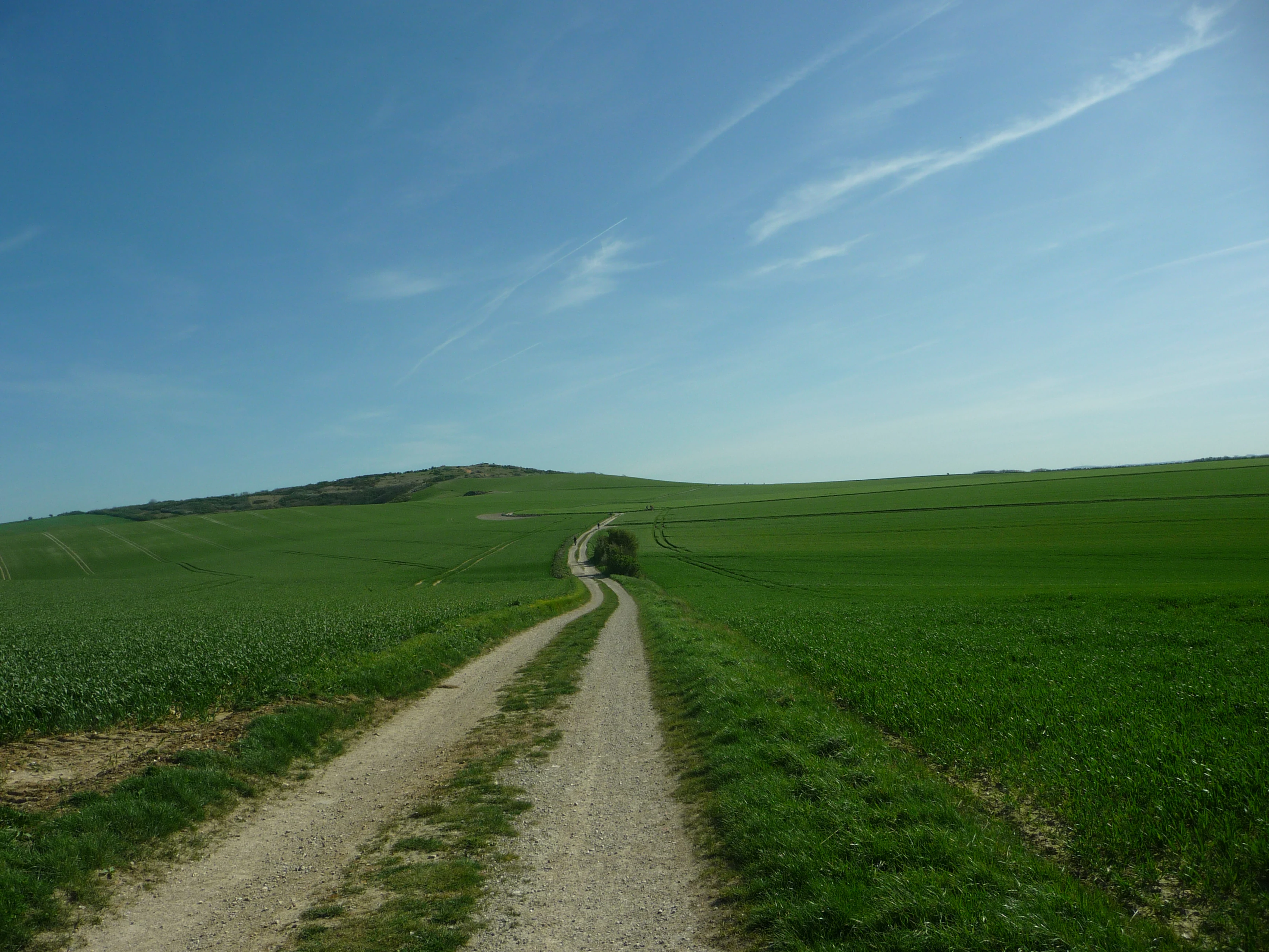
A dirt and gravel path leads through expansive rolling green fields toward a low hill under a blue sky.
A gravel trail winding through open green fields toward the Mont de Couple.

Réserve naturelle régionale du mont de Couple ecosystems, habitats, and plant life

Ecologically, the Réserve naturelle régionale du mont de Couple is a textbook example of calcareous grassland conservation in northern France. The pelouses calcicoles, dry limestone grasslands that depend on thin, nutrient-poor soils and traditional grazing pressures, are now considered a priority habitat for conservation across Europe. At Mont de Couple, these grasslands have survived because the site was cleared historically and maintained as pasture, allowing the open plant communities to persist rather than being lost to scrub or woodland regrowth.

The flora reflects this habitat type in detail. Around a hundred plant species have been catalogued on the site, including seven species protected at the regional level and thirteen considered rare to exceptional. The slope aspect, soil depth, and microclimate variation across the hill produce small-scale habitat heterogeneity, with different plant communities occupying the upper, middle, and lower slopes. This variation is particularly important for wild orchids, which find the combination of full sunlight, calcareous substrate, and low grass cover especially favorable.

At the landscape scale, the reserve sits within the broader mosaic of the Parc naturel régional des Caps et Marais d'Opale, where similar chalk, marsh, and dune systems combine to create an unusually diverse regional ecological network. The reserve is too small to host complete ecosystems on its own, but its position and habitat quality make it a vital local stronghold within that larger system.
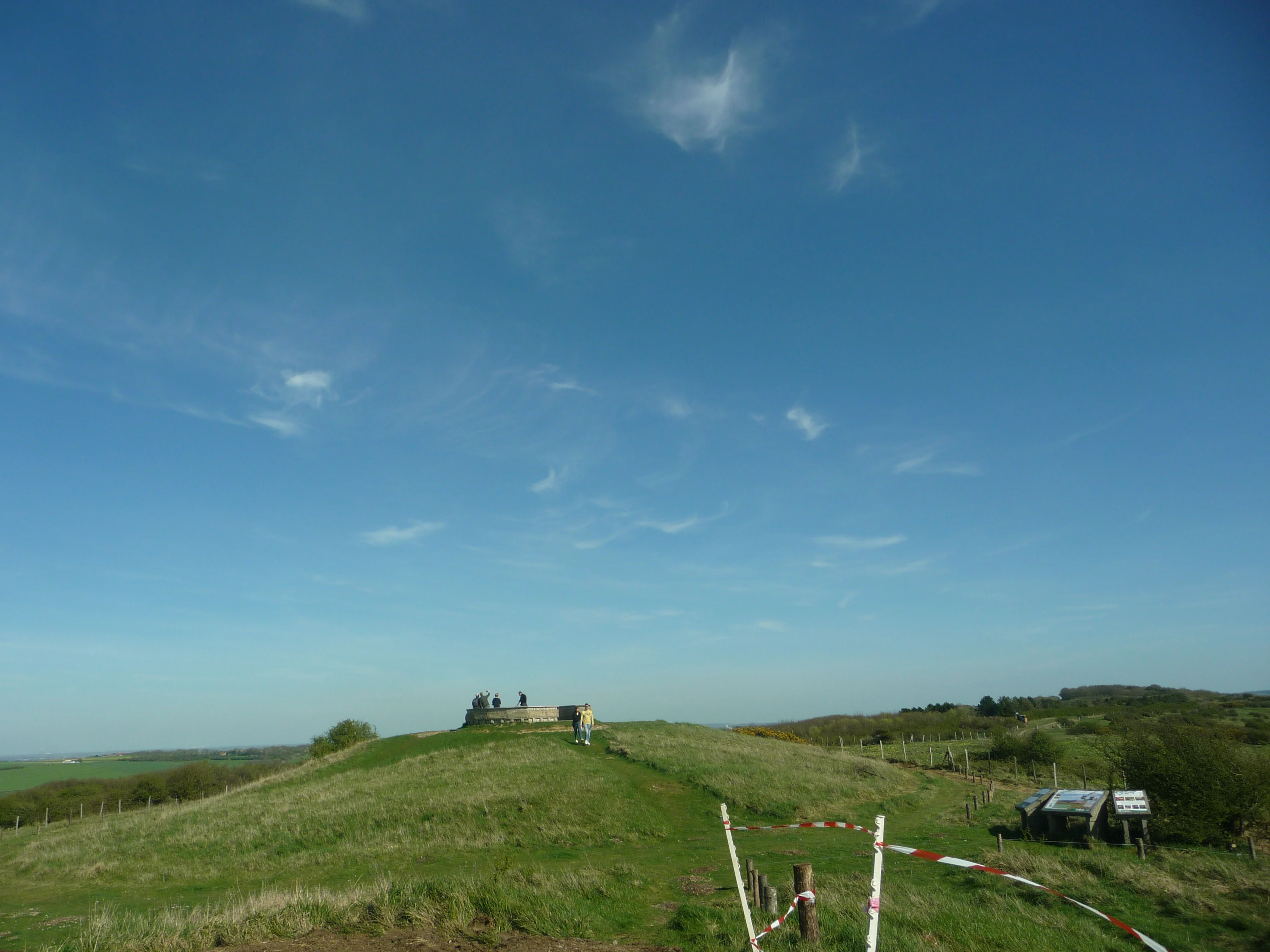
A wide view of a grassy hill summit under a clear blue sky, featuring a stone orientation table structure with small figures of people and a makeshift barrier in the foreground.
Interpretative tables at the summit of Mont de Couple.

Réserve naturelle régionale du mont de Couple wildlife and species highlights

The reserve's wildlife is shaped by its mosaic of open chalk grassland, scrub, small wetland pockets, and abandoned military infrastructure. Around sixty bird species have been observed on or around the site, a significant diversity for an area of this size. Among the typical species are the Meadow Pipit, a ground-nesting bird that thrives in short calcareous grassland, and the Lesser Whitethroat, a small warbler that uses scrubby edges for nesting and feeding. The mixed habitat structure means that species preferring open ground, scrub, and small trees can all find usable territory within a short distance.

Bats are an unusually prominent component of the reserve's fauna thanks to the wartime galleries and bunkers. The cool, stable, underground spaces provide ideal roosting habitat for several chiropteran species, transforming what was once a defensive military installation into a refuge for vulnerable cave-roosting bats. The reserve thus manages an interface between built heritage and ecological function that is rarely encountered in such a compact site.

Reptiles and amphibians are present in the damper microhabitats, with species such as the Viviparous Lizard and the Common Toad recorded. Invertebrates also contribute strongly to the site's biodiversity interest, particularly butterflies such as the Marbled White, which inhabits flowery grasslands, and the Queen of Spain Fritillary, which favors areas with violets and other low-growing plants. Together, these groups consolidate the reserve's role as a small but ecologically dense refuge within the regional landscape.
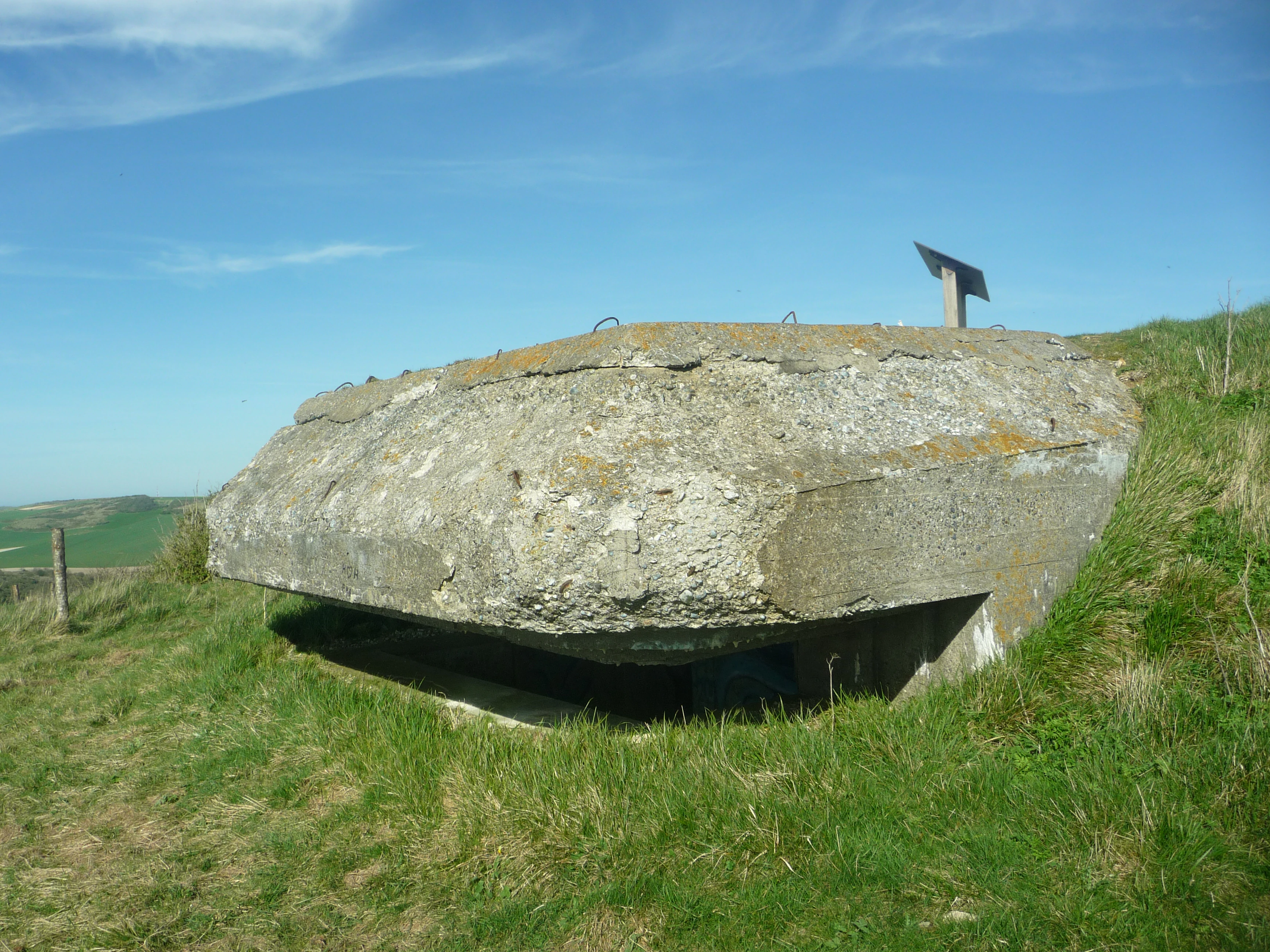
A weathered concrete bunker built into a grassy hillside under a clear blue sky, with a small informational sign visible on top.
An Atlantic Wall bunker structure located at the summit of Mont de Couple.

Réserve naturelle régionale du mont de Couple conservation status and protection priorities

The reserve's conservation significance is rooted in the protection of calcareous grassland habitat, one of the most threatened habitat types in northwestern Europe. Such grasslands depend on traditional management, particularly light grazing or mowing, to prevent succession toward scrub and forest. By maintaining these conditions and safeguarding the underlying chalk substrate from agricultural intensification or development, the reserve sustains a habitat that supports multiple protected and rare plant species, including several orchids.

Its formal protection pathway reflects modern French nature conservation practice. A voluntary nature reserve established in 1997 prepared the site administratively and ecologically for the stronger, more durable statutory designation of a regional nature reserve in 2011. The classification is time-bound, with the initial period set at ten years, ensuring that management effectiveness remains under regular review. The reserve is managed within the institutional framework of the Parc naturel régional des Caps et Marais d'Opale, providing continuity with broader regional efforts to conserve calcareous, coastal, and wetland habitats across the Opal Coast.

The reuse of former military infrastructure as bat habitat adds a distinctive conservation dimension. By integrating the ecological value of these abandoned structures into the site's protected status, the reserve demonstrates how historical human land use, even land use designed for wartime purposes, can sometimes be reinterpreted as a conservation asset when managed appropriately.

Réserve naturelle régionale du mont de Couple cultural meaning and human context

The cultural context of the Mont de Couple reserve is shaped by both pastoral tradition and twentieth-century military history. Before becoming a protected natural area, the hill supported traditional grazing, a land use that, despite its economic simplicity, created the open conditions that now sustain the site's exceptional grassland biodiversity. This continuity between human use and ecological value reflects a long-standing pattern across the Boulonnais, where agriculture, livestock keeping, and natural heritage remain closely intertwined.

The wartime layer is more visible but no less culturally significant. As part of the German defensive system along the northern French coast, the site hosted bunkers, observation posts, and tunnel galleries. Today, these concrete forms, partially overgrown by chalk grassland vegetation, serve as a reminder of the strategic importance of the Opal Coast during the Second World War. They also represent a poignant example of landscape reconciliation, where structures built for conflict have been quietly repurposed for ecological protection.

Administratively and culturally, the reserve is embedded in the regional identity of the Hauts-de-France and the broader Opal Coast. Managed by the Parc naturel régional des Caps et Marais d'Opale, it shares in the regional narrative of conservation combined with public access, rural heritage, and coastal landscape appreciation.

Top sights and standout views in Réserve naturelle régionale du mont de Couple

The Mont de Couple reserve offers several distinctive features within a remarkably compact footprint. Its chalk grassland supports an orchid-rich flora, with about a hundred plant species catalogued, including several regionally protected taxa. The summit viewpoint, equipped with an orientation table since 1992, frames one of the most accessible panoramas of the Opal Coast, capturing Cap Gris-Nez, Cap Blanc-Nez, the Straits of Dover, Wissant, and the inland Boulonnais in a single sweep.

The site's repurposed military infrastructure, including former Atlantic Wall bunkers and galleries, doubles as both a historical trace and a functional bat roost. Managed within the larger Parc naturel régional des Caps et Marais d'Opale, the reserve anchors a network of protected habitats along one of northern France's most scenic coastlines. Its combined botanical, faunal, geological, and panoramic qualities make it an unusually dense experience for visitors despite its small area.

Best time to visit Réserve naturelle régionale du mont de Couple

Late spring and early summer are generally the most rewarding seasons to experience the Réserve naturelle régionale du mont de Couple. This is when the calcareous grasslands are at their most floristically expressive, with wild orchids and other chalk-loving plants in bloom, butterflies including the Marbled White taking advantage of the flowers, and birds most actively visible across the mosaic of grassland and scrub.

Mild, dry days with limited wind offer the best conditions both for walking the slopes and for enjoying the panoramic views from the summit orientation table. Autumn visits can also be pleasant for those primarily interested in bird migration and coastal scenery, while winter visits tend to be quieter and more atmospheric but offer less floral display. Visitors should be prepared for changeable coastal weather typical of the Boulonnais and the Opal Coast throughout the year.
Monthly climate preview

Long term representative temperature and precipitation averages measured across twelve months

Climate Normals and Annual Weather Patterns for Réserve naturelle régionale du mont de Couple

Representative baseline coordinates for Réserve naturelle régionale du mont de Couple trace measured monthly average temperatures ranging from 5.32 degrees Celsius to 17.64 degrees Celsius alongside daily precipitation rates between 1.46 and 2.92 millimeters. Examining the full twelve month climate record reveals detailed variations in long term temperature ranges and precipitation distribution.
Annual mean11 °C
5 °C18 °C
Jan
Feb
Mar
Apr
May12°
Jun15°
Jul17°
Aug18°
Sep16°
Oct13°
Nov
Dec
Warmest month
August

17.6 °C

Coolest month
February

5.3 °C

Wettest month
November

2.9 mm/day

Driest month
April

1.5 mm/day

Park location guide

Geography guide, regional context, and park location map for Réserve naturelle régionale du mont de Couple

Réserve naturelle régionale du mont de Couple park geography, regions, and map view in France

Understand where Réserve naturelle régionale du mont de Couple sits in France through a broader geographic reading of the surrounding landscape, nearby location context, and its mapped position within the national park landscape.

How Réserve naturelle régionale du mont de Couple fits into France

France is a unitary semi-presidential republic and one of the world's largest economies. It borders Belgium, Luxembourg, Germany, Switzerland, Italy, Monaco, Andorra, and Spain, with a maritime border to the United Kingdom. The country is known for its cultural influence, art, cuisine, and political history spanning centuries.

Wider geography shaping Réserve naturelle régionale du mont de Couple in France

France is located in Western Europe. Metropolitan France extends from the Rhine to the Atlantic Ocean and from the Mediterranean Sea to the English Channel and North Sea. The country borders Belgium, Luxembourg, Germany, Switzerland, Italy, Monaco, Andorra, Spain, and has a maritime border with the United Kingdom.

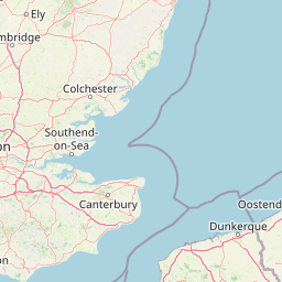
Map view of Réserve naturelle régionale du mont de Couple

Use this park location map to pinpoint Réserve naturelle régionale du mont de Couple in France, understand its exact geographic position, and read its mapped placement within the surrounding landscape more clearly.

Pigeon | © OpenStreetMap contributors

Examine the calcareous escarpment, rare chalk grasslands, and coastal panoramas of this protected area.

Visual Exploration and Landscape Photography of Réserve naturelle régionale du mont de Couple

Visual records capture the distinctive chalk grassland habitats, steep limestone ridges, and rare flora characterizing Réserve naturelle régionale du mont de Couple. Photographic documentation reveals the rugged terrain, wartime historical features, and expansive coastal viewpoints spanning the Opal Coast.

A dirt hiking trail winding through open fields in the French countryside, with a wooden signpost in the foreground showing hiking trail markings and directions.

A wide, elevated landscape view from the grassy slopes of Mont de Couple looking out over a patchwork of green agricultural fields, pastures, and small wooded areas under a pale blue sky.

A dirt and gravel path leads through expansive rolling green fields toward a low hill under a blue sky.

A wide view of a grassy hill summit under a clear blue sky, featuring a stone orientation table structure with small figures of people and a makeshift barrier in the foreground.

A weathered concrete bunker built into a grassy hillside under a clear blue sky, with a small informational sign visible on top.

A semicircular stone orientation table sits in the foreground on a grassy summit, looking out toward a distant coastline under a blue sky.

Park atlas

Compare adjacent chalk escarpments, coastal reserves, and northern French protected areas

Parks Near Réserve Naturelle Régionale du Mont de Couple and Regional Protected Landscapes

Browse protected areas near Réserve naturelle régionale du mont de Couple to examine similar chalk grasslands and coastal ridges across northern France. Comparing adjacent regional nature reserves provides broader geographic context for regional conservation landscapes.
Nature reserveHauts-de-France
About 4.4 km away#1 closest

Southeast

Réserve naturelle régionale de la forteresse de Mimoyecques: Regional Nature Reserve Geography

Protected subterranean habitat and wartime heritage in Hauts-de-France.

Located in the rolling lowlands of the Pas-de-Calais, the Réserve naturelle régionale de la forteresse de Mimoyecques is a uniquely managed protected area. Its landscape integrates historical military architecture with modern biodiversity conservation, focusing on the protection of rare underground roosting environments for diverse bat species within the regional Hauts-de-France terrain.

Area
0.016 km²
Established
2012
Relief
Lowland
Climate
Temperate
Nature reserveHauts-de-France
About 8.8 km away#2 closest

Southwest

Réserve naturelle régionale du pré communal d'Ambleteuse: Regional Nature Reserve Geography

Coastal dune relics and protected marshland in Hauts-de-France.

This protected area provides an essential look at the coastal geography of the Opal Coast. Featuring a complex mosaic of ancient dune turf, dry heath, and wet meadows, the reserve stands as a landmark for biodiversity and traditional land management in northern France.

Area
0.605 km²
Established
1991
IUCN
IV
Relief
Lowland
Nature reserveHauts-de-France
About 18 km away#3 closest

East

Réserve naturelle régionale de Pont d'Ardres: Mapped Wetland Geography and Protected Lands

A restored industrial landscape in the Hauts-de-France coastal hinterland.

Situated southeast of Calais, this reserve represents a rare success in ecological restoration. The former sugar factory basins now provide vital habitats for shorebirds and nesting species, maintaining an essential wetland presence in an otherwise cultivated landscape of northern France.

Area
0.663 km²
Established
2012
IUCN
IV
Relief
Lowland
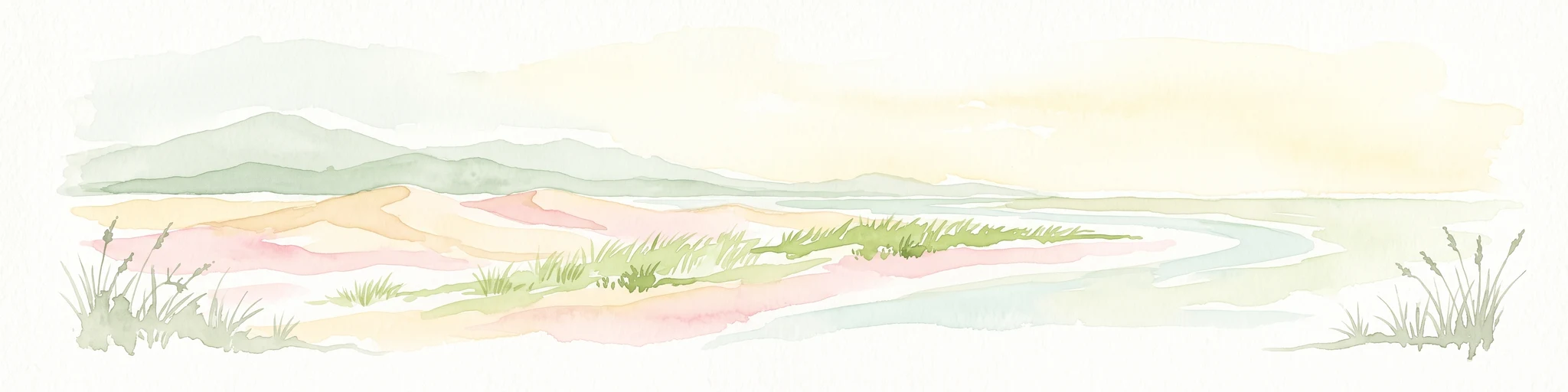
A soft watercolor illustration showing a low-lying landscape with gentle rolling hills, grassy foreground vegetation, and light, hazy atmospheric tones.
Nature reserveHauts-de-France
About 26 km away#4 closest

South

Réserve naturelle régionale du marais de Condette: Wetland Geography and Protected Landscape

A vital ecological corridor within the Hauts-de-France region

Spanning 35 hectares, the Réserve naturelle régionale du marais de Condette protects a unique mosaic of marshland, peat-forming habitats, and forested massifs. This wetland reserve near the Opal Coast acts as an essential green infrastructure link, providing critical sanctuary for flora and fauna while maintaining hydrological balance in a heavily transformed northern French landscape.

Area
0.35 km²
Established
2009
IUCN
IV
Relief
Lowland
A watercolor painting of a rolling rural landscape with bare trees, grassy hills, and distant purple and red hills against a pale sky.
Nature reserveHauts-de-France
About 26 km away#5 closest

South

Réserve naturelle régionale du Molinet: Protected Calcareous Woodlands and Grassland Mosaic

Geographic and Habitat Analysis of a Pas-de-Calais Nature Reserve

Located in the Boulonnais landscape of northern France, this protected area serves as a vital refuge for calcareous flora. The reserve preserves a rare mosaic of limestone woodlands and grasslands, serving a dual role in both ecological conservation and water catchment protection within the Hauts-de-France administrative region.

Area
0.067 km²
Established
1987
IUCN
IV
Relief
Lowland
A horizontal watercolor painting showing a soft coastal scene with rolling dunes, sparse grasses, and a calm shoreline under a light sky.
Nature reservePas-de-Calais
About 27 km away#6 closest

Northeast

Réserve naturelle nationale du Platier d'Oye: Protected Coastal Landscape and Wetland Geography

Coastal dunes and migratory bird habitats in Pas-de-Calais

Located along the Opal Coast, the Réserve naturelle nationale du Platier d'Oye represents a complex mosaic of tidal flats, mobile sand dunes, and humid polder meadows. This protected area offers unique insight into the ecological intersection of maritime forces and terrestrial environments, functioning as a primary staging ground for diverse migratory species within the Hauts-de-France coastal region.

Area
3.91 km²
Established
1987
IUCN
IV
Relief
Lowland
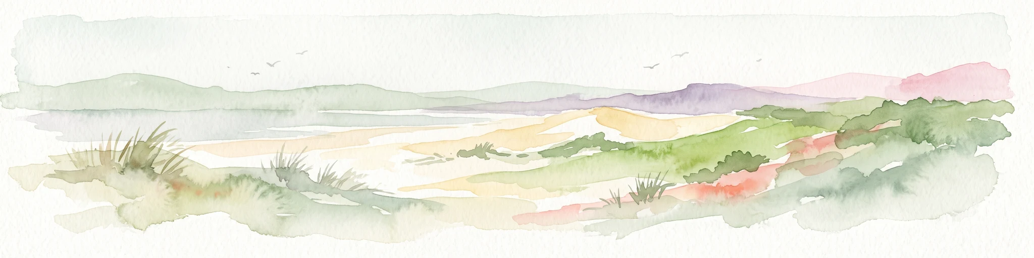
Watercolor painting of a coastal landscape with sand dunes, beach grasses, and distant hills under a light sky.
Nature reservePas-de-Calais
About 35 km away#7 closest

South

Réserve naturelle nationale de la baie de Canche Protected Area Map and Geography

Coastal dune ecosystems and tidal estuary landscapes in Pas-de-Calais

This protected area offers a look into the geomorphology of the Canche estuary, where longshore drift, salt marshes, and rare chalk-cliff dune systems create a distinct environment. Understand the landscape context of this French national nature reserve, serving as a sanctuary for migratory bird populations and a site for active coastal research along the English Channel.

Area
5.05 km²
Established
1987
IUCN
IV
Relief
Lowland
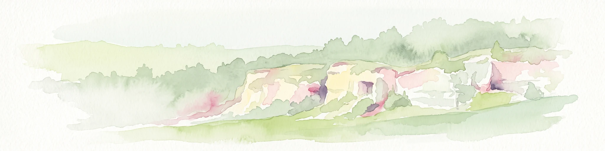
A soft watercolor painting of a grassy landscape with exposed limestone rock faces and green vegetation.
Nature reserveHauts-de-France
About 41 km away#8 closest

Southeast

Réserve naturelle régionale des anciennes carrières de Cléty: Protected Geological Landscape

Regional nature reserve in the Hauts-de-France, France

A significant geological protected area in the Pas-de-Calais, this reserve features an exposed chalk quarry face that serves as a stratigraphic record for the Cretaceous period. The landscape hosts a rare intersection of geological heritage and diverse ecosystems, including orchids, butterflies, and bat colonies, within a compact footprint.

Area
0.02 km²
Established
2011
IUCN
IV

Common questions about visiting, size, designation, and location context for Réserve naturelle régionale du mont de Couple

Réserve naturelle régionale du mont de Couple FAQs for park facts, access, geography, and protected area context

Find quick answers about Réserve naturelle régionale du mont de Couple, including protected-area facts, park geography, trail and visitor context, and how the park fits into its surrounding country and regional landscape.
MoriAtlas Explorer

Continue Your Protected Areas Search Across the Global Atlas

Deepen your exploration by continuing the structured search for national parks and protected areas worldwide. Utilize the comprehensive filtering capabilities to compare different conservation landscapes and refine your understanding of global park geography. Discover more about the distribution and characteristics of protected natural areas.

Global natural geography