Mori Atlas logo
Nature reserveRéserve naturelle régionale du pré communal d'Ambleteuse

A coastal mosaic of heathland, marsh, and traditional grazing terrain in northern France.

Réserve naturelle régionale du pré communal d'Ambleteuse: Ancient Dune Landscapes and Protected Geography

(Réserve naturelle régionale du pré communal d'Ambleteuse (RNR240))

The Réserve naturelle régionale du pré communal d'Ambleteuse serves as a significant reference site for coastal dune conservation in the Hauts-de-France region. This protected landscape encompasses 60 hectares of ancient dune relics, acidic grasslands, and humid meadow corridors. By maintaining a delicate balance between dry dune ridges and wet depressions, the reserve provides a critical habitat mosaic that supports rare botanical species and specialized invertebrate populations.

regional nature reservecoastal dunesacidic dune grasslandlowland heathbas-maraiswet meadows

Réserve naturelle régionale du pré communal d'Ambleteuse

Nature reserve

Park overview

Structured park overview, official facts, and landscape profile for Réserve naturelle régionale du pré communal d'Ambleteuse

Réserve naturelle régionale du pré communal d'Ambleteuse park facts, protected area profile, and essential visitor context

Review the core facts for Réserve naturelle régionale du pré communal d'Ambleteuse, including designation, size, terrain, visitor scale, habitats, and operating context in one park-focused overview.

About Réserve naturelle régionale du pré communal d'Ambleteuse

The pré communal d'Ambleteuse is a regional nature reserve on France's Opal Coast, in the Boulonnais area of the Pas-de-Calais. Although the site covers only around 60 hectares, its ecological significance is disproportionate. It sits on a relic of coastal dune land formed during the Holocene marine transgressions, and over many centuries the area has been maintained as communal grazing land, known locally as a pré communal. This long continuity of low-intensity grazing has favoured the persistence of open habitats that would otherwise have been lost to succession, ploughing, or coastal development.

Today the reserve protects a mosaic of habitats that has become rare along the heavily urbanised Channel coast: short dry grassland, low heaths, bas-marais (basic mires), humid meadows, scrub patches, and small stream corridors. The diversity of soils and moisture conditions across this small area is one of the keys to its botanical richness, allowing acidic, calcareous, and wetland species to occur in close proximity.

The reserve's importance has been formally recognised at national and regional levels. It was first created as a voluntary nature reserve in 1991 and was upgraded to a regional nature reserve in 2012. It is administered through the Parc naturel régional des Caps et Marais d'Opale, which integrates the site into broader conservation and education work across the Boulonnais. Open to the public under site rules, it serves both as a protected conservation area and as a place where visitors can experience a surviving fragment of traditional coastal landscape on a coast that has otherwise been substantially transformed.

Quick facts and research context for Réserve naturelle régionale du pré communal d'Ambleteuse

The Réserve naturelle régionale du pré communal d'Ambleteuse lies in the Hauts-de-France region, in the Pas-de-Calais department, on the commune of Ambleteuse, approximately 7 km north of Boulogne-sur-Mer and about 1.5 km from the English Channel coast. It covers roughly 60 hectares.

The reserve is classified as IUCN Category IV (habitat and species management area) and is managed by the Parc naturel régional des Caps et Marais d'Opale. It originated as a voluntary nature reserve (réserve naturelle volontaire) on 12 December 1991 and was formally redesignated as a regional nature reserve by decision of the Regional Council on 6 February 2012.

Protection and recognition

Documented terrestrial protection history and conservation designation metrics

Protection Status and International Recognition for Réserve naturelle régionale du pré communal d'Ambleteuse

Terrestrial protection status for Réserve naturelle régionale du pré communal d'Ambleteuse records a formal designation year of 2012 within the global database. Structured records outline the official WDPA identifier and management scope without additional international recognition sources.

Protection details

Protection scope
Terrestrial
Designated year
2012
Transboundary protection
No
WDPA ID
555559608
Park context

Deeper park guide and search-rich context for Réserve naturelle régionale du pré communal d'Ambleteuse

Réserve naturelle régionale du pré communal d'Ambleteuse history, landscape, wildlife, and travel context

Explore Réserve naturelle régionale du pré communal d'Ambleteuse through its history, landscape character, ecosystems, wildlife, conservation priorities, cultural context, and seasonal travel timing in a structured park guide built for atlas discovery and search intent.

Why Réserve naturelle régionale du pré communal d'Ambleteuse stands out

The reserve is best known for its concentration of rare plant species on a small area of ancient dune grassland, including more than 500 recorded plant species and over a hundred taxa considered rare. Notable botanical highlights include the Azores adder's-tongue fern, Curtis's violet, English gorse, autumn lady's-tresses orchid, and several sedges and dwarf annuals typical of acidic dune heath. It is also recognised for its exceptionally rich invertebrate fauna, particularly grasshoppers, butterflies, dragonflies, and spiders, which depend on the mosaic of short-grazed turf, heath, and wet meadows maintained by traditional communal land use. Together, these qualities make the site an important reference point for the study of coastal dune biodiversity in northern France.

Réserve naturelle régionale du pré communal d'Ambleteuse history and protected-area timeline

The site's history begins with its physical origin: the oldest portion of the reserve is a relic of dune formation created during one of the Flandrian marine transgressions, around 5000 BCE. After the sea retreated, the sandy substrate became a stable coastal landform that was gradually colonised by distinctive plant communities.

For centuries, this dune surface was managed as communal land, used as open pasture by local communities. The intensity of grazing varied over time, but the tradition of extensive pastoral use was crucial in preventing woodland encroachment and maintaining open, species-rich grassland and heath. This communal past is reflected directly in the reserve's name: pré communal, meaning communal meadow, denotes this long-standing community agricultural land use.

In the modern conservation era, the site was first given formal protection on 12 December 1991 as a réserve naturelle volontaire. A later fire, in 2003, damaged part of the area and prompted renewed attention to habitat management, including restoration of gorse-dominated dry dune scrub. The voluntary status was replaced on 6 February 2012 when the Regional Council redesignated the site as a full regional nature reserve (réserve naturelle régionale), giving it stronger legal protection and embedding it more firmly within the regional protected-area framework.

Réserve naturelle régionale du pré communal d'Ambleteuse landscape and geographic character

The reserve occupies a low-lying coastal position inland from the English Channel shoreline, at roughly 1.5 km from the present-day sea. Although modest in elevation, it sits on one of the more geomorphologically distinctive coastal landforms of the Boulonnais: a surviving fragment of ancient dune, layered with later soil development, that has escaped the urbanisation that has affected most of the surrounding coastal strip.

The visible landscape is shaped by old dunes, gentle undulating ground, and a mosaic of open habitats rather than dramatic relief. Visitors walking the reserve encounter short turf communities, low heaths dominated by gorse and ericaceous shrubs, patches of bracken and scrub, and transitions into humid depressions. Across the site, small streams and wet meadow corridors contrast with the drier dune ridges, producing a layered topography where dry and wet conditions alternate within very short distances.

What gives the landscape its particular character is not relief or scale but texture: a patchwork of microhabitats generated by the subtle interplay between dune topography, water table depth, and centuries of extensive grazing. This finely grained mosaic is itself a major part of the site's conservation interest, because it allows unusually high habitat diversity within a very limited area.

Réserve naturelle régionale du pré communal d'Ambleteuse ecosystems, habitats, and plant life

Ecologically, the pré communal d'Ambleteuse is valuable because it preserves several otherwise rare habitat types in close proximity on a tiny area of ancient dune land. The principal habitats are dry acidic dune grassland, low heathland with gorse and ericaceous species, bas-marais or basic mires, humid meadows, and small stream corridors. Each of these habitats corresponds to a different combination of soil moisture, acidity, and traditional management.

The plant communities reflect this physical heterogeneity. The acidic dune substrate supports dwarf annuals, sedges, and specialised ferns, while wetter depressions sustain mire vegetation and wet meadow flora. The result is a flora in which very different ecological groups coexist within a few hundred metres, a pattern that increases overall species richness and habitat complementarity.

Habitats such as bas-marais and dry acidic dune grassland are themselves of conservation concern at the regional and national levels because they have declined dramatically across northern France due to drainage, agricultural intensification, abandonment, and coastal urbanisation. The reserve therefore acts as a refuge for communities that have largely disappeared elsewhere in the Boulonnais.

Réserve naturelle régionale du pré communal d'Ambleteuse wildlife and species highlights

The reserve's wildlife profile is unusually rich for a site of its size, reflecting the diversity of habitats maintained by traditional grazing. Invertebrates are the most numerous and ecologically significant group: the site supports unusual assemblages of orthopterans (grasshoppers and crickets), butterflies, dragonflies, and spiders tied to short-grass and heath conditions.

Among documented invertebrates are species such as the small dark bush-cricket, the lesser mottled grasshopper, the gomphocère tacheté, and the decticelle chagrinée for orthopterans; the Agrion nain among dragonflies; and a wide variety of butterflies. Inventories have recorded 58 butterfly species, 157 spider species, 123 mollusc species, and 109 fungi species, indicating the broad entomological and ecological importance of the mosaic of dry and wet habitats.

Vertebrate fauna is also diverse. Four amphibian species are present, including the midwife toad, natterjack toad, parsley frog, and tree frog. The site supports around thirty breeding bird species typical of open habitats, ranging from warblers to the Eurasian woodcock, and a mammal community reaching from small shrews up to roe deer. The combination of rich invertebrate fauna and breeding birds underlines the site's role in supporting food webs that depend on its rare habitat mosaic.

Réserve naturelle régionale du pré communal d'Ambleteuse conservation status and protection priorities

From a conservation perspective, the pré communal d'Ambleteuse matters primarily as a surviving example of an old dune landscape with intact traditional land use, in a coastal region where such landscapes have been almost entirely lost. Its conservation value lies less in rarity of individual species than in the persistence of the habitat mosaic itself: a combination of acidic dune grassland, heath, bas-marais, and humid meadow maintained over many centuries by extensive communal grazing.

The site is officially classified as an IUCN Category IV protected area, reflecting a focus on active habitat and species management rather than strict non-intervention. Conservation management aims to maintain the open condition of the habitats by continuing appropriate grazing regimes, controlling encroachment, and, in the wake of the 2003 fire, restoring dry acidic dune grassland where gorse scrub had expanded.

The reserve is integrated into the broader conservation strategy of the Parc naturel régional des Caps et Marais d'Opale, which treats it as one of the key reference sites for Boulonnais coastal biodiversity. Its formal progression from voluntary reserve in 1991 to fully designated regional nature reserve in 2012 reflects the increased recognition of how vulnerable this small dune relict is, and how central it is to conserving the ecological identity of the Opal Coast.

Réserve naturelle régionale du pré communal d'Ambleteuse cultural meaning and human context

The reserve's cultural significance is closely tied to the long tradition of communal land management on the Boulonnais coast. In northern France, prés communaux were pieces of pasture traditionally held and used collectively by local communities, often on marginal or sandy soils that were unsuitable for crop cultivation. The pré communal d'Ambleteuse is the direct continuation of this centuries-old land-use pattern, and its name preserves that heritage.

In this region, the survival of a communal meadow that is still grazed, still publicly accessible, and still ecologically rich is increasingly rare. The reserve therefore also carries intangible heritage value: it reflects a rural social tradition in which the local community had collective rights over grazing land, and a coastal identity shaped by small-scale mixed use rather than heavy industrial or urban development. Its integration into the Parc naturel régional des Caps et Marais d'Opale reinforces this link between local cultural traditions and the regional conservation framework.

Top sights and standout views in Réserve naturelle régionale du pré communal d'Ambleteuse

Among the reserve's most distinctive features are its exceptional concentration of rare plant species on just 60 hectares of old coastal dune land, with over 100 taxa deemed rare at regional or national level. The juxtaposition of bas-marais, humid meadows, and dry acidic dune grassland within a single small site creates a habitat mosaic that supports an unusually broad range of specialist invertebrates, amphibians, and breeding birds.

Equally important is the continuity of traditional communal grazing, which has both shaped the landscape and kept the reserve's open habitats in favourable condition. The site's formal protection history, from its 1991 voluntary classification to its 2012 redesignation as a regional nature reserve, also marks it as a recognised reference point for coastal dune conservation in northern France.

Best time to visit Réserve naturelle régionale du pré communal d'Ambleteuse

Spring and early summer are generally the most rewarding periods to visit the pré communal d'Ambleteuse, when the dune grassland and wet meadows support active flowering across many rare plant species, including orchids such as the autumn lady's-tresses later in the season. Warmer months also bring heightened insect activity, which is useful for appreciating the reserve's strong butterfly, dragonfly, and grasshopper fauna.

Late summer and early autumn can also be interesting as heathland plants and wetland vegetation come into their own, and as breeding birds are still active around the meadows and scrub edges. Because the reserve is exposed coastal dune habitat near the Channel, visitors should expect the area to feel cooler and windier than inland sites, regardless of season.

Monthly climate preview

Long term monthly averages from representative coordinate records in Hauts-de-France

Annual Temperature and Precipitation Normals for Réserve Naturelle Régionale du Pré Communal d'Ambleteuse

Temperature and precipitation records for Réserve naturelle régionale du pré communal d'Ambleteuse demonstrate measured monthly averages spanning thermal lows in winter to warmer peaks in summer. Reviewing the complete twelve-month climate profile provides deeper context on long-term weather patterns at this protected location.
Annual mean11 °C
5 °C18 °C
Jan
Feb
Mar
Apr
May12°
Jun15°
Jul17°
Aug18°
Sep16°
Oct13°
Nov
Dec
Warmest month
August

17.6 °C

Coolest month
February

5.3 °C

Wettest month
November

2.9 mm/day

Driest month
April

1.5 mm/day

Park location guide

Geography guide, regional context, and park location map for Réserve naturelle régionale du pré communal d'Ambleteuse

Réserve naturelle régionale du pré communal d'Ambleteuse park geography, regions, and map view in France

Understand where Réserve naturelle régionale du pré communal d'Ambleteuse sits in France through a broader geographic reading of the surrounding landscape, nearby location context, and its mapped position within the national park landscape.

How Réserve naturelle régionale du pré communal d'Ambleteuse fits into France

France is a unitary semi-presidential republic and one of the world's largest economies. It borders Belgium, Luxembourg, Germany, Switzerland, Italy, Monaco, Andorra, and Spain, with a maritime border to the United Kingdom. The country is known for its cultural influence, art, cuisine, and political history spanning centuries.

Wider geography shaping Réserve naturelle régionale du pré communal d'Ambleteuse in France

France is located in Western Europe. Metropolitan France extends from the Rhine to the Atlantic Ocean and from the Mediterranean Sea to the English Channel and North Sea. The country borders Belgium, Luxembourg, Germany, Switzerland, Italy, Monaco, Andorra, Spain, and has a maritime border with the United Kingdom.

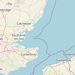
Map view of Réserve naturelle régionale du pré communal d'Ambleteuse

Use this park location map to pinpoint Réserve naturelle régionale du pré communal d'Ambleteuse in France, understand its exact geographic position, and read its mapped placement within the surrounding landscape more clearly.

Pigeon | © OpenStreetMap contributors

Location context for Réserve naturelle régionale du pré communal d'Ambleteuse

Hauts-de-France
Park atlas

Compare adjacent protected landscapes and coastal dune habitats across northern France

Parks Near Réserve naturelle régionale du pré communal d'Ambleteuse and Surrounding Coastal Reserves

Browse protected areas and regional nature reserves situated close to Réserve naturelle régionale du pré communal d'Ambleteuse along the Opal Coast. Comparing these neighbouring coastal landscapes provides broader geographic context for regional conservation terrain.
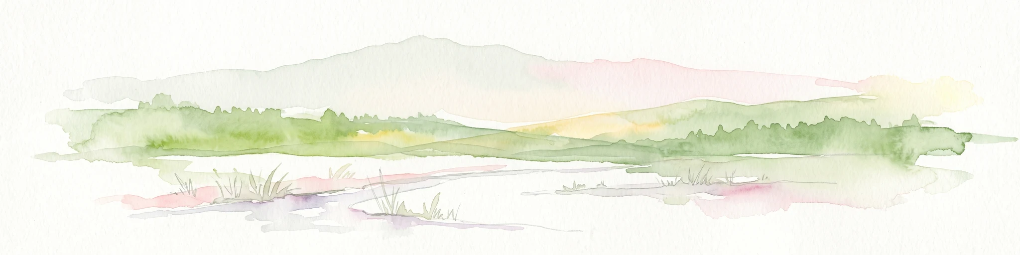
A horizontal watercolor painting showing a soft landscape with green vegetation, pink accents, and a winding body of water leading towards distant hills.
Nature reserveFrance
About 8.8 km away#1 closest

Northeast

Réserve naturelle régionale du mont de Couple: Protected Chalk Escarpment and Coastal Viewpoint

A limestone ridge sanctuary in the northern French Boulonnais region

Spanning a rare chalk cuesta in northern France, this protected area balances ecological conservation with distinct geological features. The reserve provides critical habitat for orchids and protected flora while serving as a strategic viewpoint across the Straits of Dover and the surrounding Opal Coast terrain.

Area
0.136 km²
Established
1997
Relief
Upland
Climate
Temperate
Nature reserveHauts-de-France
About 11 km away#2 closest

Northeast

Réserve naturelle régionale de la forteresse de Mimoyecques: Regional Nature Reserve Geography

Protected subterranean habitat and wartime heritage in Hauts-de-France.

Located in the rolling lowlands of the Pas-de-Calais, the Réserve naturelle régionale de la forteresse de Mimoyecques is a uniquely managed protected area. Its landscape integrates historical military architecture with modern biodiversity conservation, focusing on the protection of rare underground roosting environments for diverse bat species within the regional Hauts-de-France terrain.

Area
0.016 km²
Established
2012
Relief
Lowland
Climate
Temperate
A soft watercolor illustration showing a low-lying landscape with gentle rolling hills, grassy foreground vegetation, and light, hazy atmospheric tones.
Nature reserveHauts-de-France
About 18 km away#3 closest

South

Réserve naturelle régionale du marais de Condette: Wetland Geography and Protected Landscape

A vital ecological corridor within the Hauts-de-France region

Spanning 35 hectares, the Réserve naturelle régionale du marais de Condette protects a unique mosaic of marshland, peat-forming habitats, and forested massifs. This wetland reserve near the Opal Coast acts as an essential green infrastructure link, providing critical sanctuary for flora and fauna while maintaining hydrological balance in a heavily transformed northern French landscape.

Area
0.35 km²
Established
2009
IUCN
IV
Relief
Lowland
A watercolor painting of a rolling rural landscape with bare trees, grassy hills, and distant purple and red hills against a pale sky.
Nature reserveHauts-de-France
About 22 km away#4 closest

Southeast

Réserve naturelle régionale du Molinet: Protected Calcareous Woodlands and Grassland Mosaic

Geographic and Habitat Analysis of a Pas-de-Calais Nature Reserve

Located in the Boulonnais landscape of northern France, this protected area serves as a vital refuge for calcareous flora. The reserve preserves a rare mosaic of limestone woodlands and grasslands, serving a dual role in both ecological conservation and water catchment protection within the Hauts-de-France administrative region.

Area
0.067 km²
Established
1987
IUCN
IV
Relief
Lowland
Nature reserveHauts-de-France
About 25 km away#5 closest

East

Réserve naturelle régionale de Pont d'Ardres: Mapped Wetland Geography and Protected Lands

A restored industrial landscape in the Hauts-de-France coastal hinterland.

Situated southeast of Calais, this reserve represents a rare success in ecological restoration. The former sugar factory basins now provide vital habitats for shorebirds and nesting species, maintaining an essential wetland presence in an otherwise cultivated landscape of northern France.

Area
0.663 km²
Established
2012
IUCN
IV
Relief
Lowland
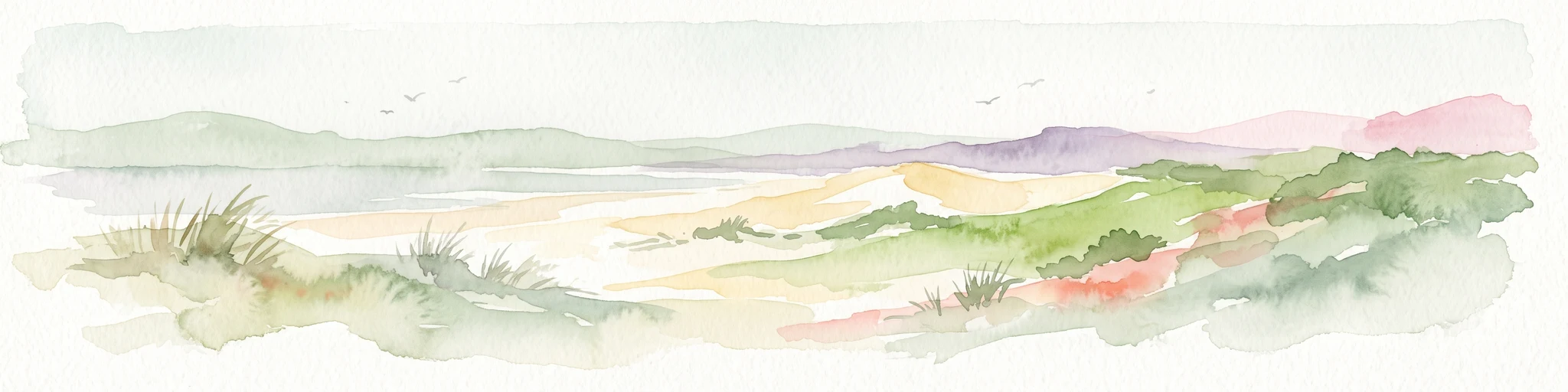
Watercolor painting of a coastal landscape with sand dunes, beach grasses, and distant hills under a light sky.
Nature reservePas-de-Calais
About 27 km away#6 closest

South

Réserve naturelle nationale de la baie de Canche Protected Area Map and Geography

Coastal dune ecosystems and tidal estuary landscapes in Pas-de-Calais

This protected area offers a look into the geomorphology of the Canche estuary, where longshore drift, salt marshes, and rare chalk-cliff dune systems create a distinct environment. Understand the landscape context of this French national nature reserve, serving as a sanctuary for migratory bird populations and a site for active coastal research along the English Channel.

Area
5.05 km²
Established
1987
IUCN
IV
Relief
Lowland
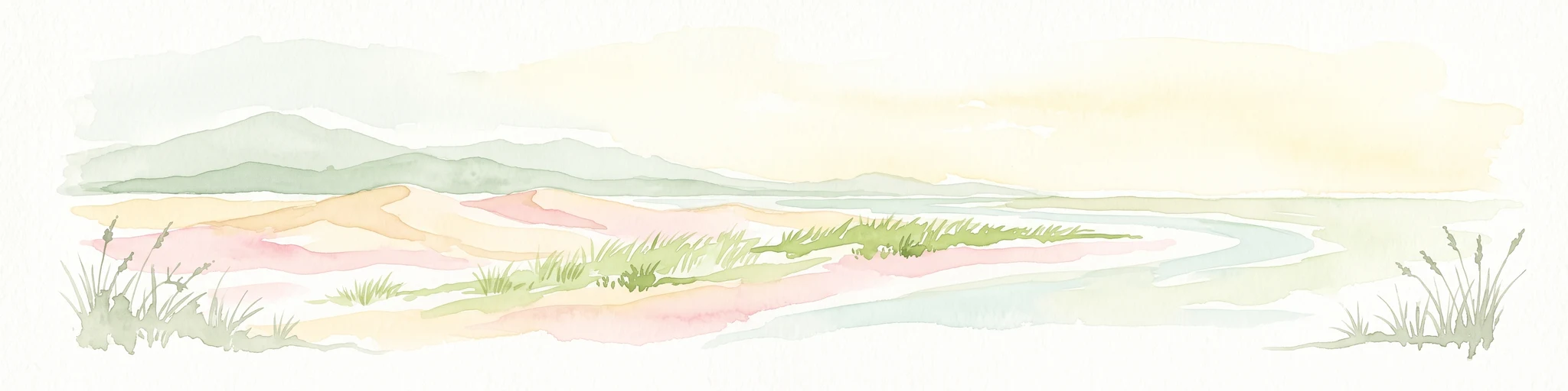
A horizontal watercolor painting showing a soft coastal scene with rolling dunes, sparse grasses, and a calm shoreline under a light sky.
Nature reservePas-de-Calais
About 36 km away#7 closest

Northeast

Réserve naturelle nationale du Platier d'Oye: Protected Coastal Landscape and Wetland Geography

Coastal dunes and migratory bird habitats in Pas-de-Calais

Located along the Opal Coast, the Réserve naturelle nationale du Platier d'Oye represents a complex mosaic of tidal flats, mobile sand dunes, and humid polder meadows. This protected area offers unique insight into the ecological intersection of maritime forces and terrestrial environments, functioning as a primary staging ground for diverse migratory species within the Hauts-de-France coastal region.

Area
3.91 km²
Established
1987
IUCN
IV
Relief
Lowland
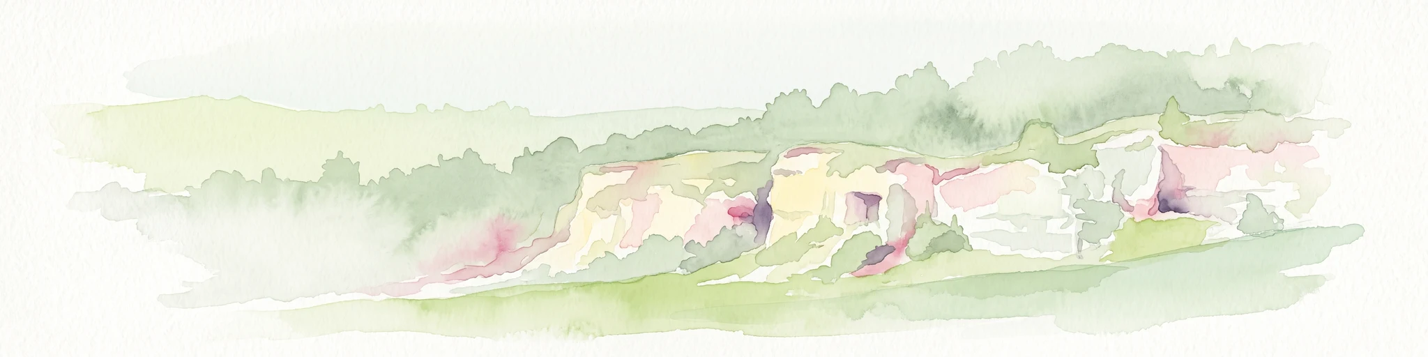
A soft watercolor painting of a grassy landscape with exposed limestone rock faces and green vegetation.
Nature reserveHauts-de-France
About 42 km away#8 closest

Southeast

Réserve naturelle régionale des anciennes carrières de Cléty: Protected Geological Landscape

Regional nature reserve in the Hauts-de-France, France

A significant geological protected area in the Pas-de-Calais, this reserve features an exposed chalk quarry face that serves as a stratigraphic record for the Cretaceous period. The landscape hosts a rare intersection of geological heritage and diverse ecosystems, including orchids, butterflies, and bat colonies, within a compact footprint.

Area
0.02 km²
Established
2011
IUCN
IV

Common questions about visiting, size, designation, and location context for Réserve naturelle régionale du pré communal d'Ambleteuse

Réserve naturelle régionale du pré communal d'Ambleteuse FAQs for park facts, access, geography, and protected area context

Find quick answers about Réserve naturelle régionale du pré communal d'Ambleteuse, including protected-area facts, park geography, trail and visitor context, and how the park fits into its surrounding country and regional landscape.
MoriAtlas Explorer

Continue Your Protected Areas Search Across the Global Atlas

Deepen your exploration by continuing the structured search for national parks and protected areas worldwide. Utilize the comprehensive filtering capabilities to compare different conservation landscapes and refine your understanding of global park geography. Discover more about the distribution and characteristics of protected natural areas.

Global natural geography