Mori Atlas logo
Park earthquake history

A historical catalogue of seismic events documented near this protected landscape

Recorded Earthquake History for the Santa Monica Mountains National Recreation Area

This collection provides a searchable inventory of recorded seismic activity in the vicinity of the Santa Monica Mountains National Recreation Area. Each entry details the event date, magnitude, and depth, while identifying the relative distance between the epicentre and the boundaries of this extensive coastal recreation space. These records represent historical data points mapped to the geography of the mountains, facilitating an overview of seismic occurrences within this southern California region.

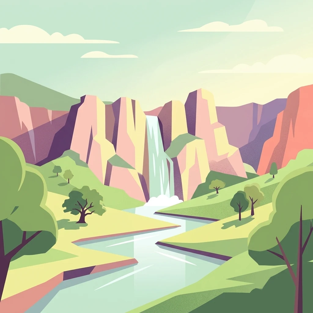
A flat, stylized illustration showing a waterfall flowing down between cliffs into a river, surrounded by grassy banks and trees.

The world's largest urban national park, weaving Mediterranean ecosystems and ancient cultural landscapes between Los Angeles neighborhoods and the Pacific coast.

Santa Monica Mountains National Recreation Area

Santa Monica Mountains National Recreation Area is a sprawling protected landscape in Southern California that threads through the Transverse Ranges between the densely populated neighborhoods of greater Los Angeles and the Pacific shoreline. It is composed of many individual parks, open space preserves, and conservation easements knit together by partnerships among the National Park Service, California State Parks, county and municipal agencies, and university reserves. The recreation area protects one of the most accessible examples of a Mediterranean climate ecosystem in North America, with characteristic chaparral, oak woodland, riparian corridors, and coastal sage habitats. It also preserves one of the highest densities of archaeological sites found anywhere in the world, with more than ten thousand years of human occupation layered into canyons, coastal bluffs, and ridgelines. Because so much of its land sits within or adjacent to the Los Angeles metropolitan area, SMMNRA is recognized as the largest urban national park in the world. It serves simultaneously as a regional ecological backbone, a wildlife corridor across a heavily trafficked highway, a cultural landscape of deep indigenous and early California history, and an outdoor escape for millions of nearby residents.

Location
United States of America
Park type
Protected landscape
Established
1978
Area
638 km²
Santa Monica Mountains National Recreation Area Atlas

Search Santa Monica Mountains National Recreation Area records

Earthquakes near Santa Monica Mountains National Recreation Area

Earthquakes near Santa Monica Mountains National Recreation Area are associated by epicentre and measured distance, not asserted as events inside the recreation area. Search dates, magnitudes, depths, place labels, distance data, and references without treating mountain or recreation features as seismic causes, declaring present hazards, or forecasting later earthquakes.

Sort by
Magnitude
Location

This page describes catalogued earthquakes associated with the park by epicentre location and distance. It does not establish causation, assess current danger, or predict future earthquakes.

No earthquake records match the current filters

Park atlas

Beyond Santa Monica Mountains National Recreation Area records

More parks after Santa Monica Mountains National Recreation Area

Santa Monica Mountains National Recreation Area earthquake records are followed by a separately selected collection of protected destinations. The options imply no common mountain setting, recreation status, habitats, geology, seismic history, nearby geography, hazard, risk, or equal source depth.
Marine protected areaCalifornia
15 km away#1 closest

West

Channel Islands National Marine Sanctuary Marine Protected Area Map and Atlas

Southern California marine habitat and island topography

Channel Islands National Marine Sanctuary protects 1,470 square miles of diverse marine environment near the California coast. This sanctuary guards vital kelp forests and deep seafloor ecosystems while preserving deep water archaeological sites and the biological legacy of the Northern Channel Islands.

Area
3,807 km²
Established
1980
IUCN
V
Relief
Lowland
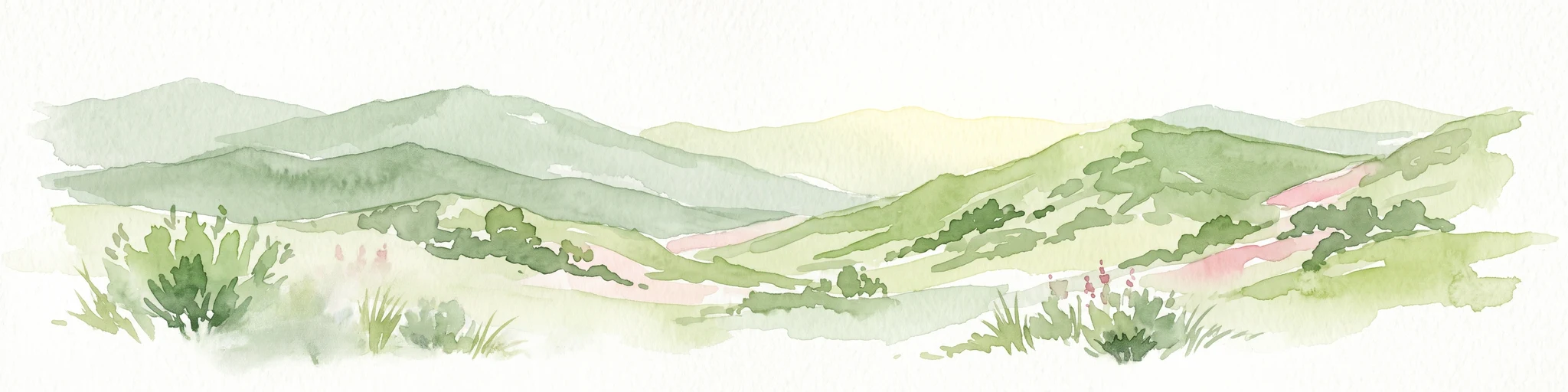
A soft, painterly watercolor illustration depicting layered green mountain ridges and rolling foothills under a bright, open sky.
Protected landscapeCalifornia
16 km away#2 closest

Northeast

Angeles National Forest: Mapped Protected Landscapes and Geographic Terrain in California

Mountain wilderness and Mediterranean watershed geography

Spanning the San Gabriel and Sierra Pelona ranges, Angeles National Forest serves as a dramatic ecological transition zone. This analysis of its protected landscape focuses on the interaction between steep canyons, high peaks, and the distinct chaparral and conifer zones that shape California geography.

Area
2,652.26 km²
Established
1908
Relief
Mountain
Climate
Mediterranean
National parkCalifornia
22 km away#3 closest

West

Channel Islands National Park: A Protected Landscape within California's Geography

Explore its unique mapped terrain and protected area context.

Channel Islands National Park stands as a key protected area, providing critical insight into California's unique geographic features and natural landscapes. This entry focuses on the park's identity as a protected entity, detailing its mapped boundaries and the surrounding regional geography. It offers an atlas-level view, essential for understanding the park's contribution to the broader landscape context of the United States and its conservation importance.

Area
1,009.94 km²
Established
1980
IUCN
II
Visitors
323.2K annual
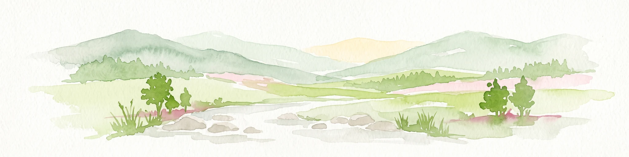
Watercolor painting of a mountain landscape with forested foothills and a valley in the foreground.
Protected landscapeCalifornia
27 km away#4 closest

Northwest

Los Padres National Forest: Geography and Protected Landscape Map of Central California

Extensive wilderness corridors and high mountain ridges

Spanning from the Big Sur coastline to the interior ranges of the Santa Lucia and San Rafael mountains, Los Padres National Forest represents a significant protected area in California. The region contains deep gorges, forest-covered canyons, and high-altitude pine ridges that provide essential habitat and support major river headwaters.

Area
7,700 km²
Established
1936
Relief
Mountain
Climate
Mediterranean
Watercolor painting of a mountain landscape with rolling green hills and small evergreen trees, with soft purple mountain silhouettes in the distance.
Protected landscapeCalifornia
63 km away#5 closest

East

San Bernardino National Forest: Geography and Protected Landscape Atlas

Transverse and Peninsular mountain ranges in California

Spanning over 820,000 acres, San Bernardino National Forest offers a look at one of Southern California's most significant protected landscapes. The forest features seven wilderness areas and a dramatic range of elevation, moving from arid chaparral to old-growth mixed conifer forests. Our geographic mapping traces the unique structure of four intersecting mountain ranges, detailing the terrain from deep canyons to high alpine peaks.

Area
3,333.87 km²
Established
1907
Relief
Mountain
Climate
Mediterranean
Watercolor painting of a mountain range with a winding stream, small trees, and grassy foreground on a white background.
Wildlife reserveCalifornia
About 74 km away#6 closest

Northwest

Matilija Wilderness: A High Elevation Protected Landscape in the Santa Ynez Mountains

Rugged canyon geography and critical California condor habitat

Spanning from deep canyon bottoms to the high rocky ridges of Monte Arido, Matilija Wilderness represents a significant protected unit within California. The area encompasses a dense network of riparian habitats along Matilija Creek, forming a vital ecological corridor for wildlife and preserving the rugged terrain of the southern Santa Ynez Mountains.

Area
118.2 km²
Established
1992
IUCN
Ib
Relief
Mountain
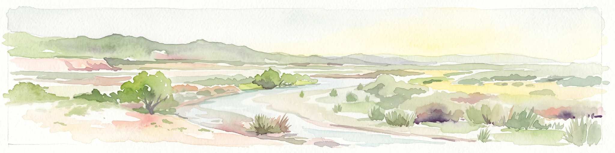
A horizontal watercolor painting depicting a wide, winding river flowing through a coastal valley with rolling hills in the background and sparse green vegetation in the foreground.
Marine protected areaCalifornia
83 km away#7 closest

West

Chumash Heritage National Marine Sanctuary: California Marine Protected Area Atlas

Mapping coastal transition zones and submarine seafloor features

Spanning over 4,500 square miles off the Central Coast of California, the Chumash Heritage National Marine Sanctuary represents a critical ecological intersection between northern and southern marine species. The sanctuary includes dramatic underwater terrain like Arguello Canyon, Rodriguez Seamount, and the Santa Lucia Bank, creating a complex habitat that sustains kelp forests and diverse maritime resources.

Area
11,770 km²
Established
2024
IUCN
V
Relief
Mixed relief
Watercolor painting of a panoramic mountain landscape with stylized pine trees and soft green meadows.
Protected landscapeCalifornia
132 km away#8 closest

North

Sequoia National Forest: Protected Sierra Nevada Geography and Mountain Terrain

A vast protected landscape spanning 1.1 million acres in California

Spanning Tulare, Kern, and Fresno counties, Sequoia National Forest preserves iconic giant sequoia groves across multiple river watersheds. The terrain features vertical relief exceeding 11,000 feet, showcasing a range of ecosystems from chaparral slopes and coniferous forests to glacial cirques and granite spires located within the southern Sierra Nevada range.

Area
4,829.17 km²
Established
1908
Relief
Mountain
Climate
Mediterranean
MoriAtlas Explorer

Explore the Mapped Landscapes of Santa Monica Mountains National Recreation Area

Deepen your understanding of this significant protected landscape through its regional geographic context and interconnected trail networks. MoriAtlas provides a structured view of the terrain, environmental corridors, and diverse coastal ecosystems that define the Santa Monica Mountains National Recreation Area across its sprawling California footprint.