Protected areaJohor
About 12 km away#1 closest
North

Tinggi Island Protected Area: Geography, Rainforest Terrain, and Johor Coastal Map
Mountainous forest meets extensive coral-rich coastal waters.
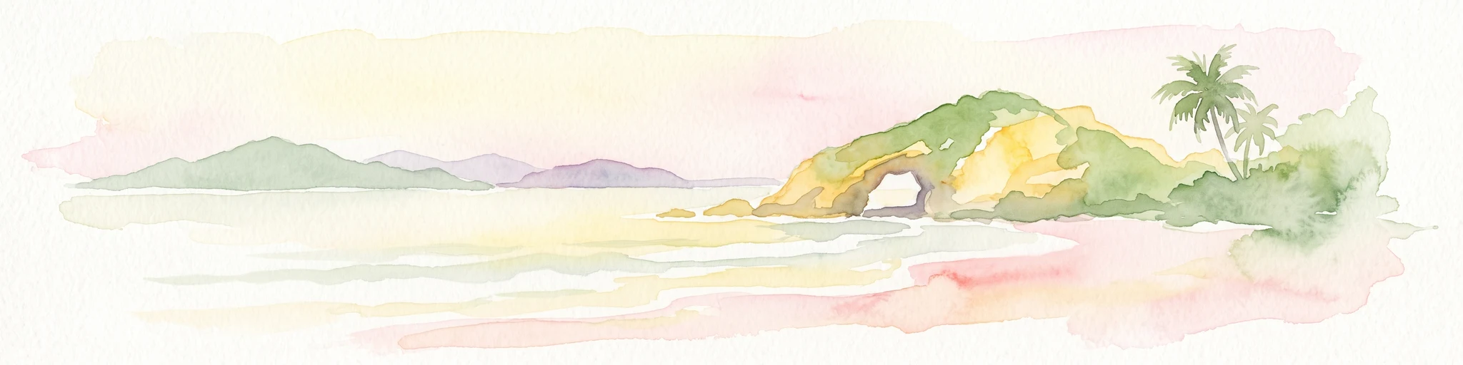
Located southeast of Mersing, Tinggi Island is defined by its dramatic silhouette and dense rainforest interior. The protected landscape stretches from the elevated peak of Mount Semundu down to a shoreline of white sand and coastal caves, creating a distinct marine and terrestrial environment unique to the Johor region.
- Water
- Major water bodies
- Season
- Year-round