

Streams
Park geography
A comprehensive analysis of administrative borders, regional scope, and alpine landscape features.
Stelvio National Park Geography: Detailed Mapped Boundaries and Physical Terrain Profile
Examine the geographic foundation of Stelvio National Park across the Italian regions of Trentino-Alto Adige and Lombardia. This profile provides data on its 1307.91 square kilometer boundary, elevation span reaching 3905 meters, and key mountain, valley, and glacier features contained within the protected area.
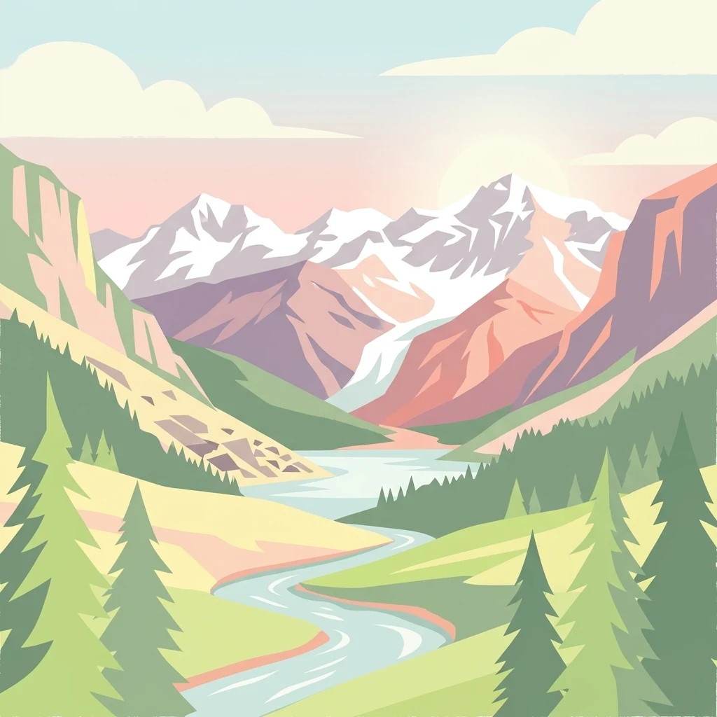
Italy's fourth-largest national park spanning dramatic Alpine valleys and high-mountain terrain across two regions
Stelvio National Park
Stelvio National Park is a protected mountain landscape in northeast Italy, established in 1935 and ranking as the fourth largest national park in the country. The park straddles two administrative regions, Trentino-Alto Adige/Südtirol and Lombardia, encompassing 24 municipalities within its boundaries. Its dramatic altitudinal range spans from approximately 690 meters to 3,905 meters above sea level, creating a remarkable ecological gradient that supports diverse habitats across Alpine meadows, forested valleys, and rugged high-mountain zones. The park forms part of a larger contiguous protected-area complex that includes the Swiss National Park and several Italian regional parks, together representing roughly 400,000 hectares of preserved Alpine environment. This transboundary conservation network makes the area one of the most significant protected mountain ecosystems in the European Alps.
- Location
- Italy
- Park type
- National park
- Established
- 1935
Location overview
Regional presence within Lombardia and Trentino-Alto Adige/Südtirol
Geographic Location and Regional Profile of Stelvio National Park
Stelvio National Park sits entirely within Italy, spanning the regional administrative areas of Lombardia and Trentino-Alto Adige/Südtirol. Official records confirm the inland, single-country designation of the protected landscape.
- Countries
- Italy
- Regions
- Lombardia, Trentino-Alto Adige/Südtirol
- Primary location
- Trentino-Alto Adige/Südtirol
- Geographic setting
- Inland
Boundary and coordinates
Stelvio’s mountain-park boundary spans 1,307.91 km²
Stelvio National Park mapped boundary and 1,307.91 km² area
Stelvio National Park's stored boundary geometry communicates the broad outline of its 1,307.91 km² protected extent. Its database entry contains a total area only, rather than land and marine figures, and includes no perimeter measurement.
- Boundary area
- 1,307.9 km²
- Boundary perimeter
- 303.5 km
- Northernmost point
- 46.669° N
- Southernmost point
- 46.2603° N
- Easternmost point
- 10.8965° E
- Westernmost point
- 10.079° E
- Geographic centre
- 46.4782° N, 10.553° E
- North–south span
- 45.4 km
- East–west span
- 62.8 km
Elevation and terrain
Mountain relief statistics and recorded peaks, glaciers, and valleys
Stelvio National Park Terrain, Elevation Range, and Mapped Natural Features
Recorded elevation records span from 690 meters to 3905 meters across rugged mountain terrain. Detailed feature cards document named peaks, glaciers, and water bodies located within the protected boundary.
- Minimum elevation
- 690 m
- Maximum elevation
- 3,905 m
Selected named natural features
Peaks
Cima del Fopel
2,922 m
Mountain saddles
Passo Torri di Fraele
1,941 m
Streams
Grünseebach - Rio del Lago Verde
Mountain saddles
Col de La Mare
3,442 m
Peaks
Eisseespitze - Punta del Lago Gelato
3,230 m
Environmental setting
Analysis of recorded terrain relief, habitat types, and partial forest cover
Stelvio National Park Environmental Setting and Land Classification
Stored classifications combine mountain relief, valley formations, and montane forest zones to outline the physical setting. Recorded categories connect directly to broader protected area profiles across the regional atlas.
- Relief
- Mountain
- Water
- Minor water
- Forest cover
- Partial forest
Landscape features
Mountains · Valleys · Cliffs
Habitat types
Montane forest · Alpine meadow · Grassland
Park atlas
Compare diverse mountain terrain and conservation landscapes contiguous with Stelvio National Park and its wider Alpine region.
Discover Nearby National Parks and Alpine Protected Areas Surrounding Stelvio National Park
Browse an extended atlas of national parks and significant protected areas adjacent to Stelvio National Park, including a broader regional context of the Central Alps. This comparative overview helps map the interconnected protected landscapes and diverse mountain ecosystems spanning Italy and the wider Alpine transboundary region.
National parkGraubünden
Park boundaries overlap#1 closest
Northwest

Swiss National Park: Geographic Context and Protected Alpine Wilderness in Graubünden
A comprehensive look at the Engadin valley's premier wilderness sanctuary
Spanning over 170 square kilometers in the canton of Graubünden, the Swiss National Park offers an unparalleled example of a strictly protected Alpine ecosystem. This atlas profile details the park's distinct topography, from the subalpine pine forests near the Ofenpass to the delicate karst lake basins at Macun, providing a deep look into its history as a central reference site for wilderness restoration and geological research.
- Area
- 170.3 km²
- Established
- 1914
- IUCN
- Ia
- Relief
- Mountain
Regional parkGraubünden
About 5.7 km away#2 closest
Northwest
Biosfera Val Müstair Regional Park: Alpine Landscapes and UNESCO Biosphere Geography
Protected glacial terrain and cultural alpine valleys in eastern Switzerland.
Discover the distinctive natural geography of Biosfera Val Müstair, where a dry inner-Alpine climate meets high-altitude glacial features like the Lai da Rims. This regional park protects an extensive area of Graubünden, balancing rare ecosystems, broad alluvial fans, and the traditional alpine economy of the Romansh-speaking community.
- Area
- 198.65 km²
- Established
- 2011
- Relief
- Mountain
- Climate
- Alpine
Nature reserveGraubünden
About 12 km away#3 closest
Northwest
Macun-Seen Nature Reserve: Protected Alpine Plateau and Cirque Lake Landscape
High-altitude basin and crystalline geological features in Graubünden
Located in the Lower Engadine region of Graubünden, the Macun-Seen nature reserve is a significant high-altitude basin formed by glacial action. This protected exclave contains 23 small cirque lakes across a silicate plateau, offering a distinct ecological profile and expansive views of peaks approaching 3000 metres. It stands as a prime example of preserved alpine terrain within the broader Swiss National Park context.
- Area
- 3.6 km²
- Established
- 2000
- Relief
- Mountain
- Climate
- Alpine
Nature reserveGraubünden
About 13 km away#4 closest
West
Naturschutzgebiet Isla Glischa-Arvins-Seglias Nature Reserve in Graubünden
Mapped alluvial terrain and alpine river geography
Situated in the broad valley floor of the Upper Engadin, this nature reserve protects one of the most significant alpine floodplain zones in the Swiss canton of Graubünden. The area features a complex network of river channels, gravel lakes, and marshes that are currently undergoing active revitalization to restore natural riverine processes and support rare riparian ecosystems.
- Area
- 0.867 km²
- Established
- 1992
- IUCN
- IV
- Relief
- Upland

Natural monumentGraubünden
About 29 km away#5 closest
West
Roseggletscher Natural Monument: Alpine Glacier Geography and Proglacial Lake Mapping
Protected landscape data for the Bernina range in Graubünden.
Examine the geographic boundaries and terrain of the Roseggletscher, a protected natural monument situated in the upper Val Roseg. This record captures its glacial extent, the emergence of the Lej da Vadret proglacial lake, and its role within the wider Bernina glacier ensemble of southeastern Switzerland.
- Area
- 6.38 km²
- Relief
- Mountain
- Climate
- Alpine
- Access
- Moderate access

Regional parkCanton of Graubünden
About 30 km away#6 closest
West
Parc Ela: Regional Nature Park and Alpine Geography in the Canton of Graubünden
A vertical protected landscape in the Swiss Alpine arc.
Parc Ela encompasses a remarkable span of Swiss Alpine geography, protecting everything from low-lying forested gorges at seven hundred meters to high-altitude peaks over three thousand meters. The park serves as a vital refuge for threatened insect species and large alpine mammals, while preserving the linguistic and architectural heritage of the Albula and Oberhalbstein valleys. Explore the mapped terrain where paleontological treasures meet historic trade routes.
- Area
- 659 km²
- Established
- 2012
- Relief
- Mountain
- Climate
- Alpine
Nature reserveLombardia
36 km away#7 closest
Southwest

Riserva naturale Boschi del Giovetto di Paline: Protected Forest and Mountain Geography
A mapped nature reserve across Lombardy mountain slopes
Situated between the provinces of Bergamo and Brescia, this nature reserve offers a detailed look at old-growth coniferous woodlands and subalpine pasture management. The site serves as a vital ecological bridge within the Orobic Prealps, defined by its steep altitudinal transition, glacial landforms, and the distinctive dome-shaped ant colonies that shape the local forest ecology.
- Area
- 5.97 km²
- Established
- 1985
- IUCN
- IV
Nature reserveTrentino-Alto Adige
About 37 km away#8 closest
South
Biotopo Fiavé: A Protected Wetland and Archaeological Landscape in Trentino-Alto Adige
Mapping glacial lake basins and ancient prehistoric heritage sites
Located at the foot of Monte Cogorna, Biotopo Fiavé functions as a vital wetland reserve characterized by extensive peat bogs and mixed willow-alder thickets. This area offers a unique intersection of natural hydrological evolution and UNESCO-protected archaeological history, serving as a rare, compact cross-section of alpine valley ecosystems and prehistoric human settlement patterns.
- Area
- 1.373 km²
- Established
- 1988
- IUCN
- IV
MoriAtlas Explorer
Continue exploring Stelvio National Park's protected landscape and regional map context
Deepen your understanding of Stelvio National Park by continuing your atlas exploration into its specific geographic features and protected boundaries. MoriAtlas provides the structured data to comprehend how this national park sits within Trentino-Alto Adige/Südtirol and the broader alpine geography, offering insights beyond simple park identification for true landscape discovery.
Browse next
Global natural geography
Explore related park routes
Explore MoriAtlas Global ParksBrowse All MoriAtlas ParksGlobal Park Map DiscoveryMoriAtlas: Browse All CountriesBrowse All MoriAtlas ContinentsNational Park Environment AtlasGrand Canyon National Park AtlasYellowstone National Park AtlasYosemite National Park Atlas and GeographySerengeti National Park AtlasGalápagos National Park Protected LandscapeBanff National Park Geography and AtlasKruger National Park Atlas EntryUluṟu-Kata Tjuṯa National Park AtlasExplore Uluru-Kata Tjuta National Park GeographyPlitvice Lakes National Park AtlasFiordland National Park Protected LandscapeGreat Smoky Mountains National Park AtlasAfghanistan National Parks and Protected AreasAlbania National Parks and Protected AreasAlgeria National Parks and Protected AreasAmerican Samoa National Parks and Protected AreasAndorra National Parks and Protected AreasAngola National Parks and Protected AreasAntarctica National Parks and Protected AreasAntigua and Barbuda Park List