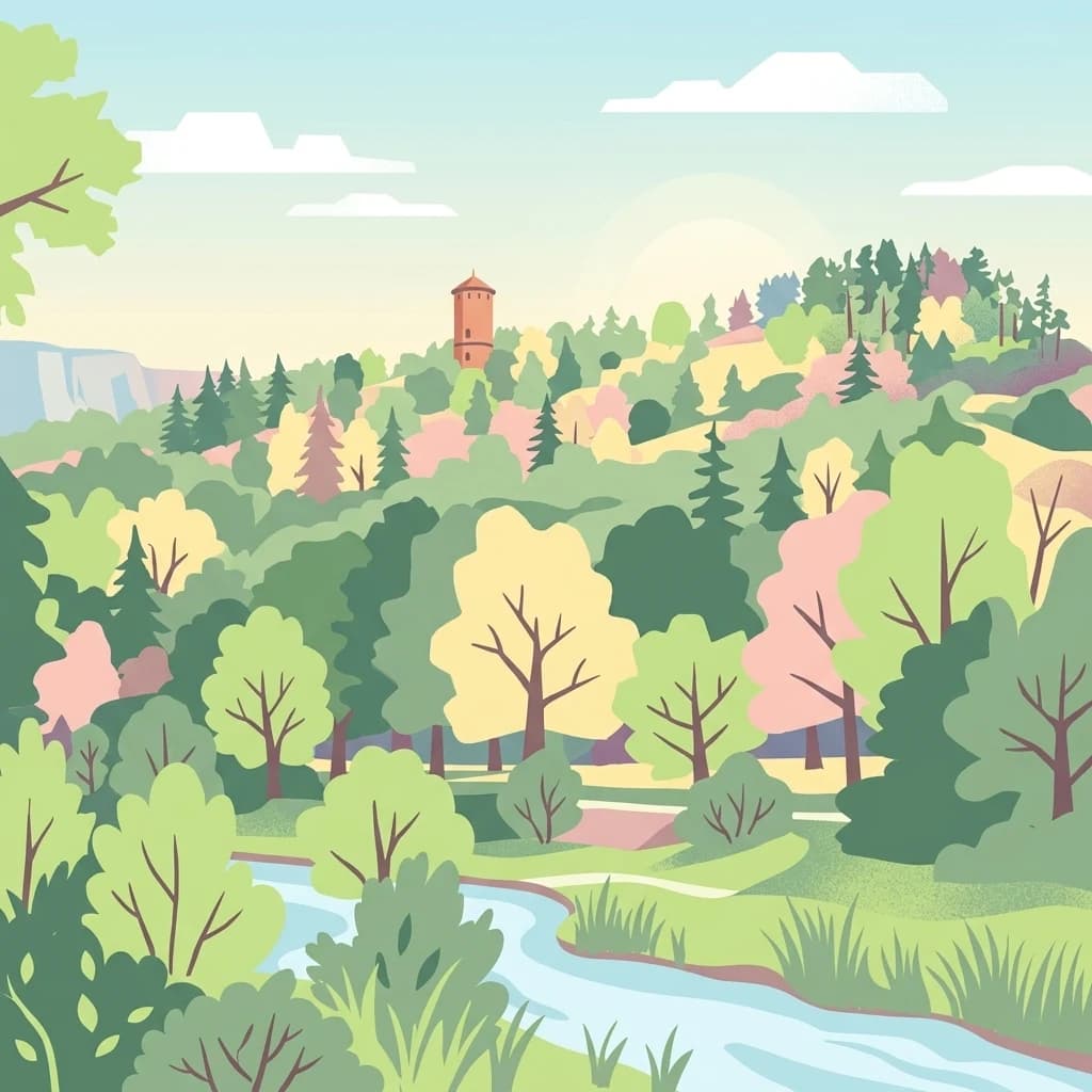
A patchwork landscape of forested Neckar valley slopes, historic heath remnants, and small-scale cultural countryside near Horb am Neckar.
Südhänge des Neckartales, Berghänge des Haugenloches, Alte Bildechinger Steige, Altheimer Tal und angrenzende Hochflächen
Südhänge des Neckartales, Berghänge des Haugenloches, Alte Bildechinger Steige, Altheimer Tal und angrenzende Hochflächen is a designated protected landscape area (Landschaftsschutzgebiet) in the state of Baden-Württemberg in southwestern Germany. Covering roughly 2.62 square kilometers, the area lies on the territory of the town of Horb am Neckar in the Freudenstadt district and stretches across the south-facing slopes of the upper Neckar valley as well as adjacent high plateau land.
The protected area captures a characteristic cross-section of the Obere Gäue, the natural region of rolling uplands that frames the Neckar corridor. Its mix of wooded slopes, small fields, orchards, juniper heath relicts, and lean grassland reflects centuries of traditional land use. Designated in 1965 and managed under the Freudenstadt district administration, the landscape protection designation helps preserve the visual, ecological, and cultural character of this part of the upper Neckar landscape.
The area is notable for the way it bridges protected and productive land. Forest stands cover most of the steeper slopes, while flatter ground remains in agricultural use as pasture, meadow, orchard, or arable field. In several places, traces of older pastoral systems, including Wacholderheiden (juniper heaths) and Magerrasen (nutrient-poor grasslands once used for sheep grazing), still survive as visible elements of the local landscape heritage.