
Mori Atlas logo
Protected landscapeSuwalski Park Krajobrazowy

Geographic analysis of glacial terrain, kettle lakes, and erratic boulder formations

Suwalski Park Krajobrazowy: A Mapped Exploration of Poland's Oldest Protected Landscape

Suwalski Park Krajobrazowy offers an extensive look at the Pleistocene glacial heritage of northeastern Poland. This protected landscape contains a complex network of moraine hills, kame ridges, and river valleys, punctuated by the deep waters of Lake Hańcza. Through detailed mapping of natural terrain, including the striking boulder fields of Bachanowo and the panoramic viewpoints of Góra Cisowa, the region reveals the geological evolution of the Podlaskie Voivodeship.

landscape parkpost-glacial landscapemoraine hillsglacial lakeserratic bouldersdeep lake
A flat-design, stylized digital illustration depicting a mountainous landscape with a tall waterfall cascading from a cliff, surrounded by evergreen trees, a lake, and grassy foreground.

Suwalski Park Krajobrazowy

Protected landscape

Park overview

Structured park overview, official facts, and landscape profile for Suwalski Landscape Park

Suwalski Landscape Park park facts, protected area profile, and essential visitor context

Review the core facts for Suwalski Landscape Park, including designation, size, terrain, visitor scale, habitats, and operating context in one park-focused overview.

About Suwalski Landscape Park

Suwalski Landscape Park sits in the far north of Podlaskie Voivodeship, occupying a rural stretch of the East Suwałki Lakeland near the Lithuanian border. Established in 1976 as Poland's first landscape park, it was created with the explicit goal of safeguarding the region's distinctive post-glacial scenery alongside its natural and geological values. Today, the park remains a benchmark for the landscape park category in Polish nature conservation.

The defining character of the area is glacial. During the Pleistocene, successive ice sheets advanced across the underlying Precambrian crystalline platform, sculpting the terrain into a mosaic of moraine ridges, kames, kettle holes, river valleys, and broad boulder-strewn plains. These landforms are preserved here with unusual clarity, giving the park an almost textbook quality as a teaching site for glacial geomorphology.

The park's identity is also strongly tied to its water features. Twenty-four lakes fall within its boundaries, including the celebrated Lake Hańcza, whose 108.5-meter depth makes it the deepest lake in Poland and on the Central European Plain. The Czarna Hańcza and Szeszupa rivers drain the area toward the Niemen basin, supporting mires along the Czarna Hańcza valley and creating one of the more diverse wetland-to-upland transitions in northeastern Poland.

Beyond geology and hydrology, the park protects varied habitats: mixed hazel-spruce forests, pine-spruce mixed coniferous stands, fragments of xerothermic grassland on warm slopes, and a hanging peat bog above Lake Jaczno. This ecological variety, combined with the scenic quality of the glacial landforms, underlies the park's enduring scientific and conservation importance.

Quick facts and research context for Suwalski Landscape Park

Suwalski Landscape Park is a protected landscape park (park krajobrazowy) category reserve located in the Podlaskie Voivodeship of northeastern Poland, spanning parts of the municipalities of Jeleniewo, Przerośl, Wiżajny, and Rutka-Tartak. It covers roughly 63.38 square kilometers, with an additional buffer zone of about 93.06 square kilometers.

The park was created on 12 January 1976 by resolution of the Provincial National Council in Suwałki, making it the oldest landscape park in the country. It lies on the East Suwałki Lakeland, a region built on Precambrian crystalline basement rock now overlain by Pleistocene glacial deposits.

Within its boundaries are four strict nature reserves, including the deep Lake Hańcza reserve and two boulder-field reserves, as well as 24 lakes, extensive peat-forming mires, and notable viewing hills such as Góra Cisowa, which reaches about 256 meters above sea level.

Protection and recognition

Examine the terrestrial conservation framework and official recognition records

Suwalski Park Krajobrazowy Protection Status and Regional Designation

Suwalski Park Krajobrazowy maintains a documented terrestrial protection status within its regional landscape. Comprehensive conservation records outline the governing designation scope and administrative framework for this protected area.

Protection details

Protection scope
Terrestrial
Transboundary protection
No
Buffer area
93.06 km²
Park context

Deeper park guide and search-rich context for Suwalski Landscape Park

Suwalski Landscape Park history, landscape, wildlife, and travel context

Explore Suwalski Landscape Park through its history, landscape character, ecosystems, wildlife, conservation priorities, cultural context, and seasonal travel timing in a structured park guide built for atlas discovery and search intent.

Why Suwalski Landscape Park stands out

Suwalski Landscape Park is especially known for its exceptional post-glacial landforms, which together represent one of the most complete glacial landscapes in the Polish lowlands. The park contains morainic hills, kames, deep glacial lakes, hanging valleys, and some of the largest and best-preserved erratic boulder fields in the country. The single most iconic feature is Lake Hańcza, the deepest lake in Poland and across the lowlands of Central Europe, with a maximum depth of 108.5 meters. Equally characteristic are the reserves at Głazowisko Bachanowo and Głazowisko Łopuchowskie, where clusters of ice-deposited boulders, some reaching several meters in circumference, sit in undisturbed natural settings. These features, together with the iconic viewpoint at Góra Cisowa overlooking the entire park, define the park's identity as a showcase for the glacial heritage of the Suwałki region.
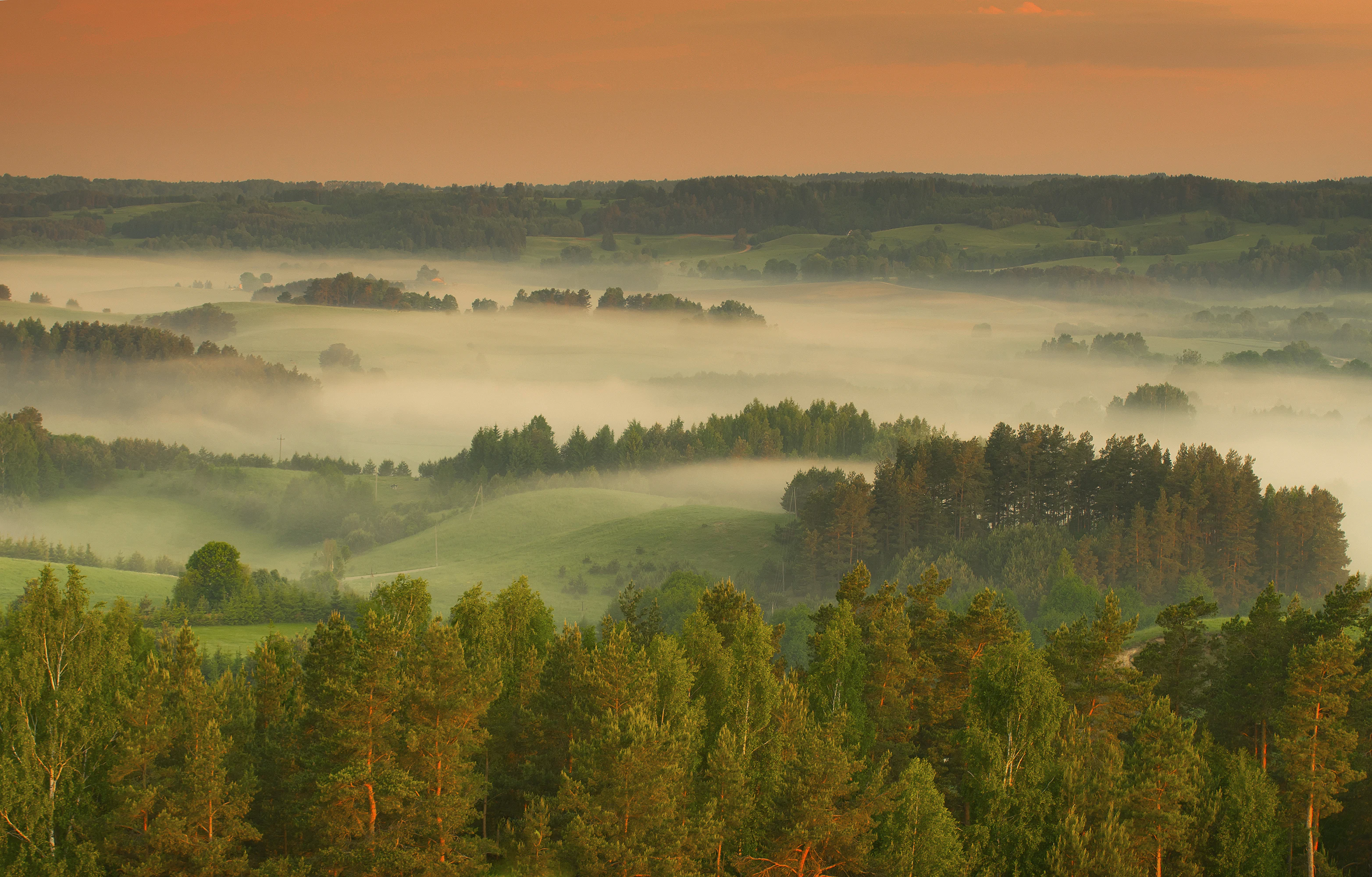
Panoramic landscape of lush green rolling hills and forests partially obscured by dense morning mist under a soft orange sunrise sky.
Morning mist blankets the rolling hills and forests of Suwalski Landscape Park.

Suwalski Landscape Park history and protected-area timeline

Suwalski Landscape Park was established on 12 January 1976 through resolution No. III/14/76 of the Provincial National Council in Suwałki, becoming the first protected landscape park in Poland. It was set up specifically to protect what was already recognized as a uniquely well-preserved post-glacial landscape, alongside the area's natural and geological assets.

The founding of the park reflected a broader late-1970s push in Poland toward formal landscape-level protection, an approach that would later expand into the nationwide system of landscape parks. By being first, SPK effectively set a template for how this category of reserve would be defined and managed.

Within its boundaries, four smaller strict nature reserves were gradually delineated to safeguard the most sensitive features, including the boulder fields at Bachanowo and Łopuchowskie and the exceptionally deep Lake Hańcza. These reserves extend and reinforce the protection given to the broader park landscape.

Suwalski Landscape Park landscape and geographic character

The landscape of Suwalski Landscape Park is the direct expression of Pleistocene glaciation acting upon an older Precambrian crystalline platform. Its terrain is varied and pronounced for a lowland area, with morainic hills, kame ridges, kettle hollows, deep river valleys, open boulder fields, and numerous lakes creating a strongly rolling topography.

Among the most prominent landforms are Góra Leszczynowa, Góra Zamkowa, Góra Kościelna, and especially Góra Cisowa, which at 256 meters above sea level serves as a panoramic viewpoint over almost the entire park. Glacial valleys, including the so-called hanging valley between the villages of Bachanowo and Malesowizna, add further morphological contrast and are of particular interest to geologists.

The park's boulders are a defining surface feature. At Głazowisko Bachanowo, Głazowisko Łopuchowskie, and at Rutka, thousands of erratic boulders deposited by the Baltic ice sheet remain in their original positions. Many of these stones measure up to three meters in circumference, and exceptional examples reach about eight meters, producing highly photogenic and ecologically distinctive boulder landscapes.
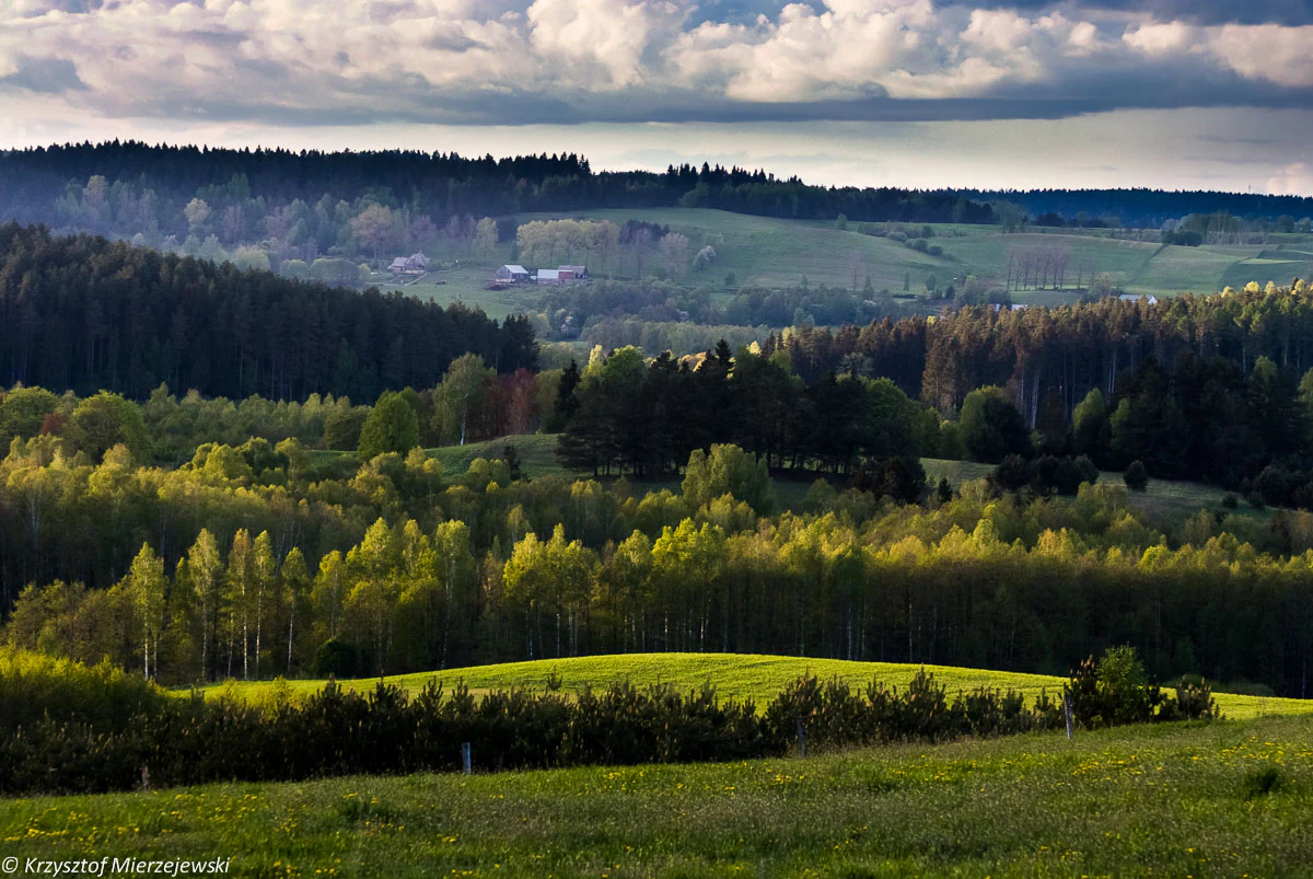
A wide, scenic view of a rolling, rural landscape with patches of light hitting green hills, dense forests, and meadows under a dramatic, cloud-filled sky.
Rolling moraine hills and forests within the Suwalski Landscape Park near Szurpiły, showcasing the post-glacial terrain of northeastern Poland.

Suwalski Landscape Park ecosystems, habitats, and plant life

Although the vegetation of the park has been substantially altered by long-standing agricultural use, several habitat types retain strong natural or semi-natural character. The mires along the Czarna Hańcza valley are particularly notable as centers of protected plant life, while the forests of the park include mixed hazel-spruce stands as well as pine-spruce mixed boreal forests with varied structure.

Among the most ecologically interesting features are the xerothermic grasslands that occur as scattered small patches on warm, dry slopes. Although their species composition differs somewhat from classical Central European dry-grassland communities, blending a modest set of characteristic xerothermic species with mesophilous meadow plants, they still support important invertebrate habitat and harbor several rare plants, including marsh violet, blood orchid, marsh calla, and bog cranberry.

The hanging peat bog above the western shore of Lake Jaczno represents a particularly distinctive habitat pattern: a waterlogged peatland perched above a larger lake, unusual in lowland Poland and ecologically valuable for its hydrology and plant communities.
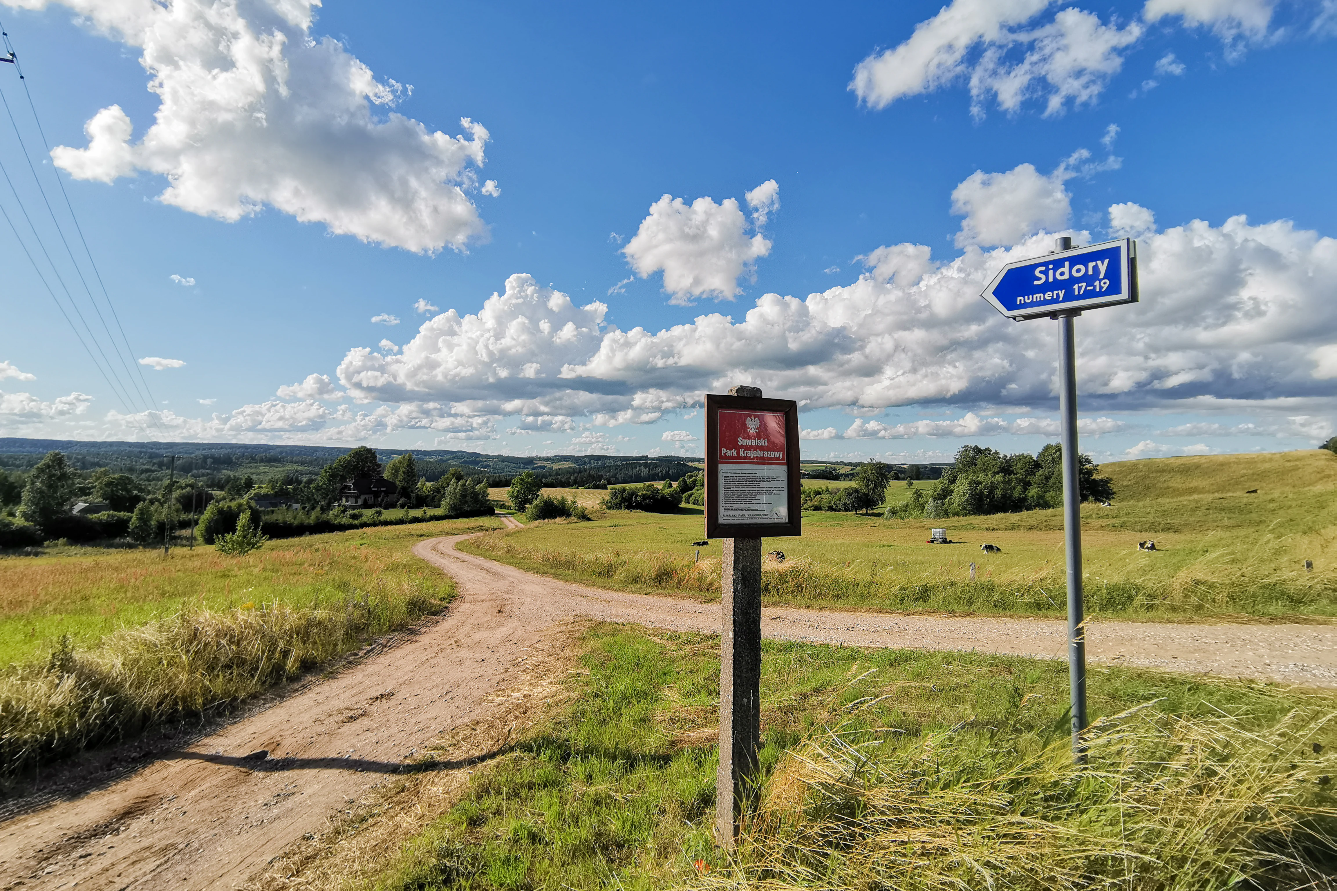
A dirt road forks through a rolling green landscape under a bright blue sky with white clouds, with a park information board and a blue village sign pointing toward Sidory.
A rural road junction and village signage in the Sidory area of Suwalski Park Krajobrazowy.

Suwalski Landscape Park wildlife and species highlights

Suwalski Landscape Park supports a varied fauna typical of northeastern Polish lakeland and forest mosaics. Among protected mammals, the Eurasian beaver is well established in the park's wetlands, while the European ermine, hedgehogs, shrews, weasels, and gray wolf all occur within or near its boundaries. Roe deer and other ungulates typical of mixed forest landscapes are also present.

The park's birdlife reflects the diversity of habitats, combining lake, river, mire, forest, and grassland environments. Notable species include the common kingfisher along the park's rivers, the marsh harrier hunting over wetlands and meadows, and the black woodpecker in the older mixed forests. These species indicate both healthy aquatic habitats and mature woodland stands.

Reptiles and amphibians typical of the region are present as well, including the sand lizard, slow worm, grass snake, and common European viper. The lakes and rivers of the park host characteristic cold-water fish species such as the European cisco, common whitefish, sculpins, trout, and sea trout, an assemblage that supports the ecological integrity of the deeper glacial lakes.
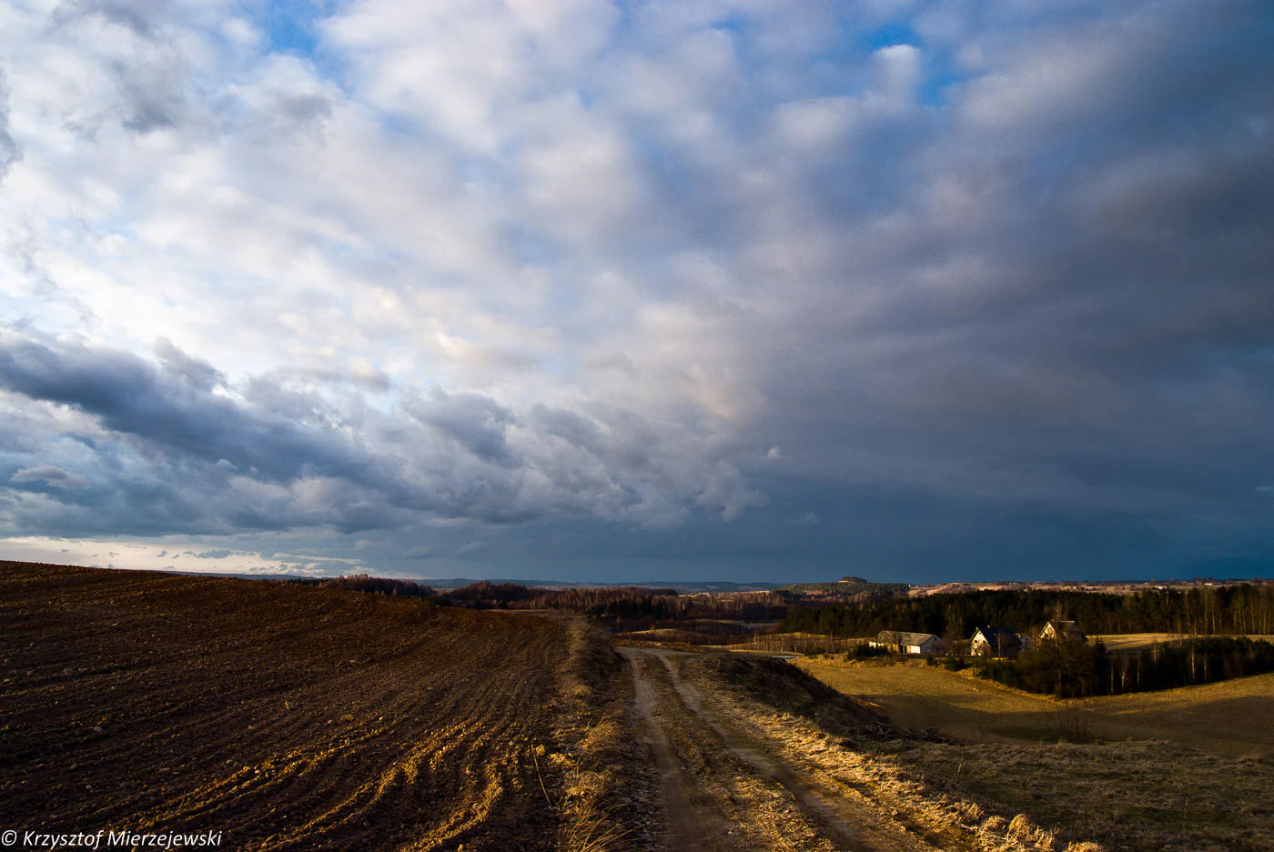
A wide, low-angle shot of a rural landscape with a dirt track in the foreground, rolling hills, and a dramatic, cloudy blue sky.
A view of the rolling post-glacial landscape and a dirt path leading toward a settlement in Suwalski Park Krajobrazowy.

Suwalski Landscape Park conservation status and protection priorities

As Poland's oldest landscape park, Suwalski Landscape Park holds an important place in the country's conservation history. It was created specifically to protect an integrated post-glacial landscape rather than any single species or habitat, an approach that established a precedent for subsequent Polish landscape parks. The park thus functions both as a working reserve and as a foundational reference for this category of protected area.

The conservation value of the park rests heavily on its glacial geology. The erratics at Bachanowo, Łopuchowskie, and Rutka, the deep Lake Hańcza basin, the hanging valley between Bachanowo and Malesowizna, and the mires along the Czarna Hańcza each represent geological or hydrological features of national significance. The four strict nature reserves within the park give the most sensitive of these features a higher level of protection, helping safeguard them against direct disturbance.

Ecologically, the park's capacity to support rare plants in its xerothermic grasslands and mires, along with protected mammals and characteristic birdlife, adds a biological dimension to its primarily geological protection rationale. Its location in the headwater zone of the Niemen basin, drained by the Czarna Hańcza and Szeszupa, also gives it broader relevance for water system and wetland conservation in northeastern Poland.

Suwalski Landscape Park cultural meaning and human context

The Suwałki region around the park carries a distinctive cultural imprint linked to the historical settlement of Old Believers (staroobrzędowcy), Russian Orthodox religious dissenters who migrated into this borderland and at one point formed compact communities here. Their presence shaped local architecture, land use, and community identity in ways that still mark the surrounding villages.

This ethnological heritage gives the park an additional cultural layer beyond its natural values. Visitors traveling through the park and its buffer zone encounter not only glacial landforms and lakes but also a rural cultural landscape whose character reflects centuries of coexistence between its inhabitants and the distinctive post-glacial terrain.
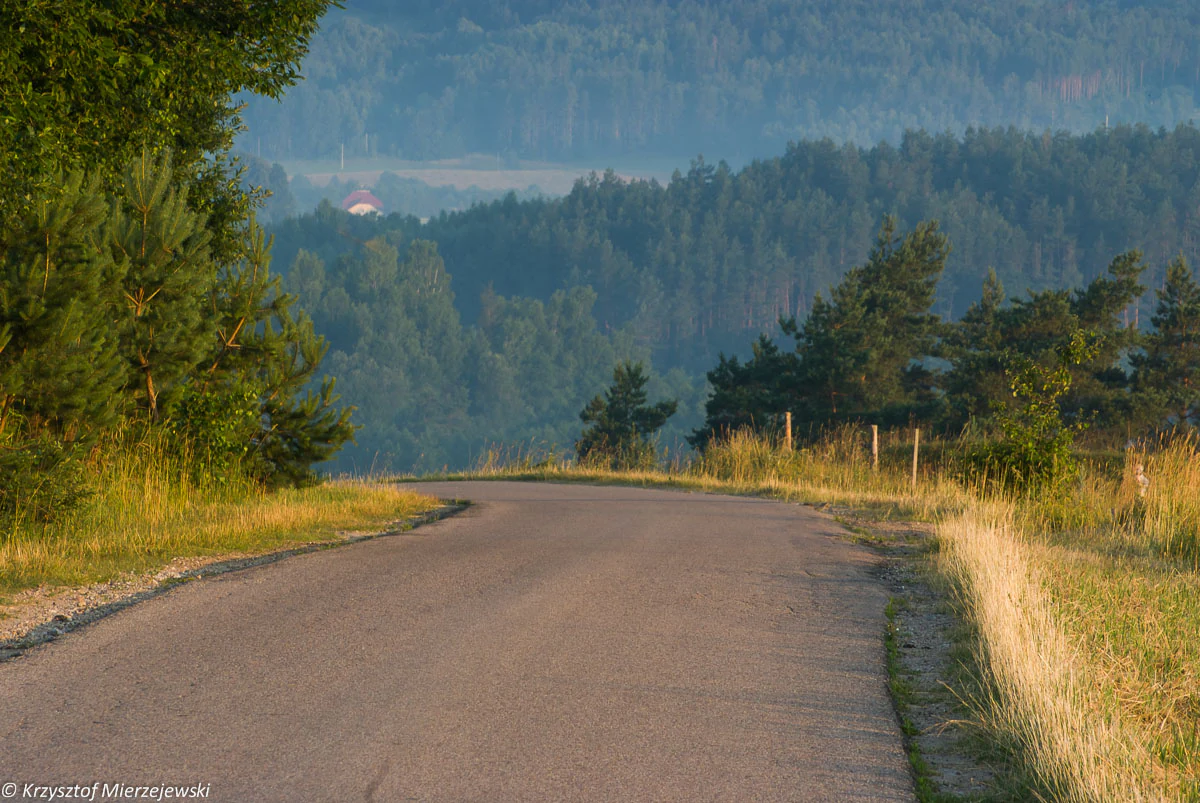
A paved, winding road leads through a hilly landscape with tall grasses, pine trees, and rolling forested hills in the background under soft light.
A winding rural road leading through the post-glacial hills of Suwalski Park Krajobrazowy.

Top sights and standout views in Suwalski Landscape Park

The strongest reasons to know Suwalski Landscape Park are its glacial landforms, particularly the deep Lake Hańcza and the large protected boulder fields at Bachanowo and Łopuchowskie, each of which is among the most significant of its type in Poland. The viewpoint at Góra Cisowa, looking out over the full sweep of moraine hills and lakes, captures the park's landscape character in a single panorama.

Equally noteworthy are the mires along the Czarna Hańcza, the hanging peat bog above Lake Jaczno, the scattered xerothermic grasslands on warm slopes, and the forested uplands with their mixed hazel-spruce character. Together these landscape, ecological, and cultural elements define the park's distinctive identity within Polish nature protection.
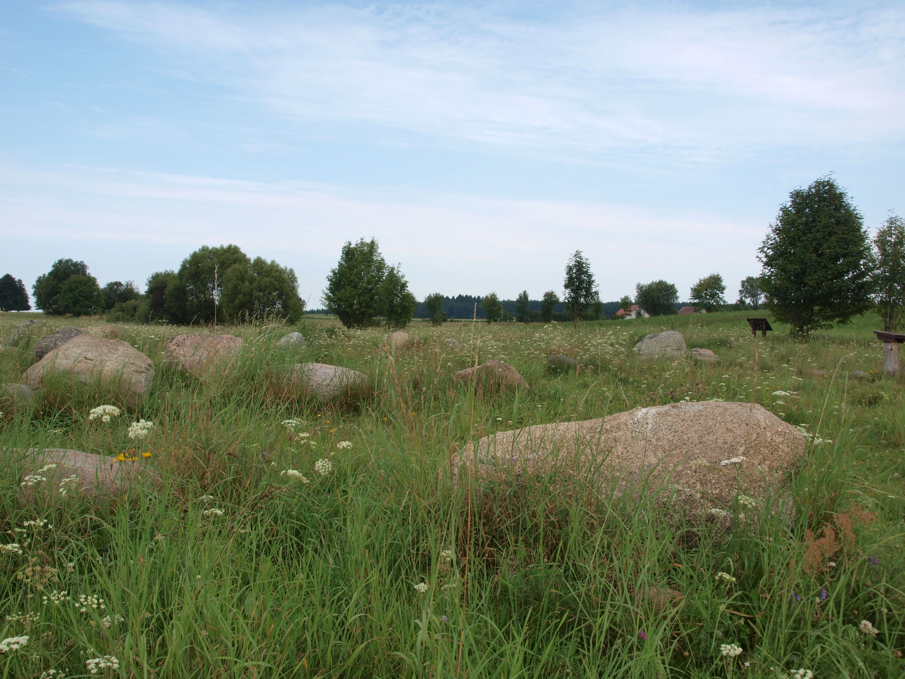
A green, grassy field dotted with large, scattered glacial boulders under a soft, cloudy sky, with scattered trees in the background.
A view of the Rutka Nature Reserve, known for its glacial boulder field, within Suwalski Park Krajobrazowy.

Best time to visit Suwalski Landscape Park

Suwalski Landscape Park is a four-season destination shaped largely by glacial features, lakes, and mixed forests. Late spring and summer are the most useful times for experiencing the full palette of habitats at once, with mires and meadows at their greenest, deciduous components in leaf, and longer days extending access to viewpoints such as Góra Cisowa.

Autumn brings vivid color to the mixed forests and a quieter atmosphere across the lakes and boulder fields, while winter reveals the park's dramatic side when snow emphasizes the rolling moraine topography and accentuates the depth of Lake Hańcza. Each season highlights different aspects of the post-glacial landscape, making timing largely a matter of which features a visitor most wants to experience.
Monthly climate preview

Long-term temperature ranges and precipitation rhythm across twelve months

Suwalski Park Krajobrazowy Climate Normals and Annual Weather Patterns

Representative coordinate measurements reveal sustained sub-zero winter minimums alongside warm summer peaks with moderate daily precipitation. Examining the complete monthly climate record clarifies long-term thermal variations and precipitation distribution across the protected landscape.
Annual mean7 °C
-5 °C18 °C
Jan-5°
Feb-4°
Mar
Apr
May12°
Jun16°
Jul18°
Aug17°
Sep13°
Oct
Nov
Dec-3°
Warmest month
July

18 °C

Coolest month
January

-4.9 °C

Wettest month
July

2.9 mm/day

Driest month
March

1.5 mm/day

Park location guide

Geography guide, regional context, and park location map for Suwalski Landscape Park

Suwalski Landscape Park park geography, regions, and map view in Poland

Understand where Suwalski Landscape Park sits in Poland through a broader geographic reading of the surrounding landscape, nearby location context, and its mapped position within the national park landscape.

How Suwalski Landscape Park fits into Poland

Poland, officially the Republic of Poland, is a Central European country spanning from the Baltic Sea in the north to the Carpathian Mountains in the south. It borders Germany, Czech Republic, Slovakia, Ukraine, Belarus, Lithuania, and Kaliningrad Oblast. The country has a temperate climate, diverse landscapes, and is known for its rich history, cultural heritage, and strong economic position within the EU.

Wider geography shaping Suwalski Landscape Park in Poland

Poland occupies 312,696 km2 in Central Europe, extending from the Baltic Sea coast in the north to the Sudetes and Carpathian Mountains in the south. It borders Germany to the west, Czech Republic and Slovakia to the south, Ukraine and Belarus to the east, and Lithuania and Kaliningrad Oblast to the northeast. The landscape includes lowland plains, uplands, and mountain ranges.

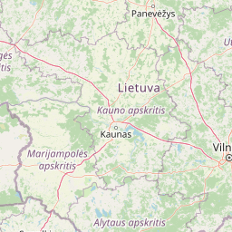
Map view of Suwalski Landscape Park

Use this park location map to pinpoint Suwalski Landscape Park in Poland, understand its exact geographic position, and read its mapped placement within the surrounding landscape more clearly.

Pigeon | © OpenStreetMap contributors

Location context for Suwalski Landscape Park

Podlaskie Voivodeship

Explore photographic records of moraine hills, deep lakes, and erratic boulder fields

Suwalski Park Krajobrazowy Photos and Landscapes: Visualizing Glacial Scenery

Visual documentation reveals the distinctive post-glacial terrain and varied habitats characterizing Suwalski Park Krajobrazowy. Detailed imagery maps out lake basins, boulder reserves, and panoramic viewing heights across the protected landscape.

Panoramic landscape of lush green rolling hills and forests partially obscured by dense morning mist under a soft orange sunrise sky.

A wide, scenic view of rolling hills in a park covered in low-lying morning mist, with distant tree lines silhouetted under a pink and purple sunrise sky.

A wide, scenic view of a rolling, rural landscape with patches of light hitting green hills, dense forests, and meadows under a dramatic, cloud-filled sky.

A dirt road forks through a rolling green landscape under a bright blue sky with white clouds, with a park information board and a blue village sign pointing toward Sidory.

A wide, low-angle shot of a rural landscape with a dirt track in the foreground, rolling hills, and a dramatic, cloudy blue sky.

Wide panoramic view of rolling hills, agricultural fields, and patches of forest under a blue sky with scattered clouds, seen from a high elevation.

A paved, winding road leads through a hilly landscape with tall grasses, pine trees, and rolling forested hills in the background under soft light.

A green, grassy field dotted with large, scattered glacial boulders under a soft, cloudy sky, with scattered trees in the background.

A meadow scattered with large glacial boulders in the foreground, backed by a dense green forest.

Park atlas

Compare regional post-glacial terrain, moraine hills, and nearby conservation areas.

Explore Parks Near Suwalski Park Krajobrazowy and Surrounding Protected Landscapes

Compare Suwalski Park Krajobrazowy with other protected areas across the northeastern lake district and surrounding morainic uplands. Broaden regional park discovery by examining adjacent post-glacial terrain, boulder fields, and connected river valleys.
National parkPodlaskie Voivodeship
About 18 km away#1 closest

Southeast

Wigierski Park Narodowy: Mapped Protected Landscapes of Northeastern Poland

A regional atlas of postglacial terrain and lake ecosystems.

Wigierski Park Narodowy represents a vital expanse of protected land in the Podlaskie Voivodeship. This profile offers insights into its glacial moraine ridges, kettle hole topography, and the specific distribution of forest-fringed bog habitats that define this distinct segment of the Lithuanian Lake District.

Area
150.898 km²
Established
1989
Visitors
110K annual
Relief
Upland
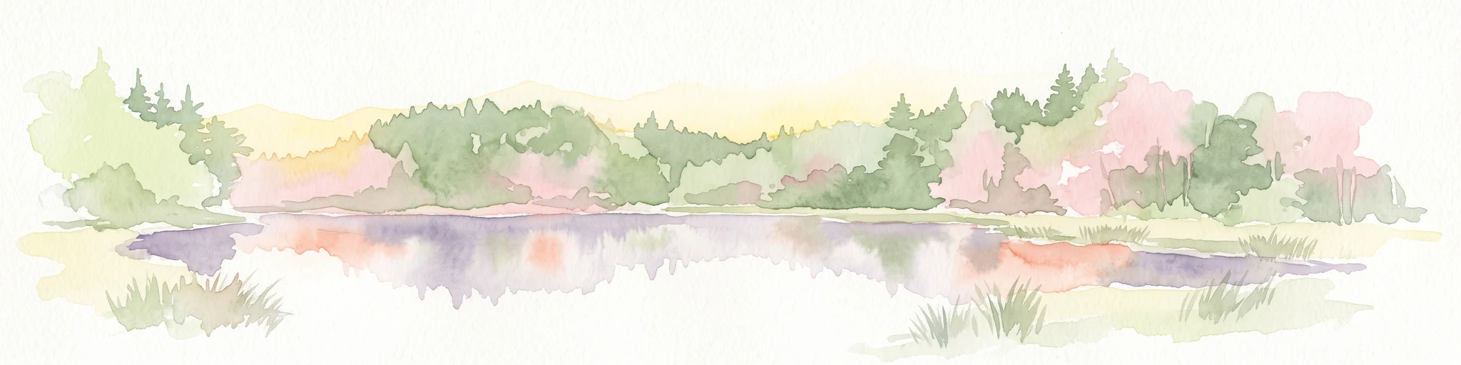
Watercolor illustration showing lakes, green vegetation, and hills in the background
National parkPodlaskie Voivodeship
About 18 km away#2 closest

Southeast

Wigry National Park: Protected Area Atlas of Poland's Glacial Lake District

Explore mapped landscapes and wetland ecosystems in Podlaskie Voivodeship

Delve into the geography of Wigry National Park, a national park situated in the Podlaskie Voivodeship of northeastern Poland. This protected area is defined by its glacial landscape, featuring 42 lakes including the expansive Lake Wigry, alongside critical wetland habitats and significant peat bogs. Discover the mapped boundaries and ecological importance of Wigry National Park, renowned as a prime location for beaver populations and a vital component of Poland's protected lands atlas.

Area
150.86 km²
Established
1989
IUCN
II
Visitors
110K annual
Watercolor painting of a tranquil marshland scene with reeds in the foreground, rolling green hills, and a pale sky.
Nature reservePodlaskie Voivodeship
About 21 km away#3 closest

Southeast

Ostoja Augustowska Nature Reserve: Protected Forest and Wetland Atlas of Podlaskie

Mapped wilderness corridors in the Polish lowlands

Ostoja Augustowska serves as a major ecological hub in Podlaskie Voivodeship, comprising extensive pine and spruce woodlands linked with diverse peatland systems. The site provides a critical corridor for rare forest wildlife while preserving ancient stands of old-growth timber. Gain insights into the complex geography of this Natura 2000 protected territory through its documented terrain, hydrological networks, and mosaic of rare boreal habitat types.

Area
1,070.69 km²
Established
2009
Relief
Lowland
Climate
Temperate
Nature reserveWarmian-Masurian Voivodeship
About 28 km away#4 closest

West

Mechacz Wielki Nature Reserve: Geographic Records of Protected Peatlands in Northeastern Poland

Mapping the raised bog and forest ecosystems of the Romincka Forest.

Mechacz Wielki Nature Reserve represents a critical example of raised bog geography and peat-forming processes in Poland. This record details the reserve as a core feature of the Romincka Forest, focusing on its transition from open moss-dominated surfaces to complex boggy pine forests and wetland habitats. Gain insight into the regional landscape characteristics that shape this unique northeastern protected area.

Area
1.467 km²
Established
1974
Relief
Lowland
Scope
Terrestrial
Nature reserveWarmian-Masurian Voivodeship
About 46 km away#5 closest

West

Rezerwat przyrody Mazury Nature Reserve: A Protected Lake and Forest Landscape in Poland

Regional geography of the Ełk Lake District and Masurian water landscapes.

This nature reserve safeguards a 388-hectare water and forest mosaic in the Warmian-Masurian Voivodeship. It offers a detailed look at glacial lake ecosystems, forested islands on Lake Piłwąg, and mature mixed deciduous forest stands that represent the classic character of the Masurian landscape.

Area
3.887 km²
Established
1981
Relief
Lowland
Scope
Terrestrial
Nature reservePodlaskie Voivodeship
About 51 km away#6 closest

Southeast

Rezerwat przyrody Mały Borek: Pine Bore Forest and Peatland Geography in Podlaskie

Protected nature reserve in the Augustów Primeval Forest

Rezerwat przyrody Mały Borek is a significant nature reserve located in the Podlaskie Voivodeship of Poland. The area is defined by its extensive pine bore forests, central raised bogs, and transition zones of alder swamp. As part of the Natura 2000 network, it provides essential habitat and stands as a key scientific reference for the natural forest landscape of the Augustów Plain.

Area
0.905 km²
Established
1959
Relief
Lowland
Scope
Terrestrial
Watercolor painting showing a wetland scene with reeds, patches of water, and trees under a light sky
National parkPodlaskie Voivodeship
About 61 km away#7 closest

South

Biebrza National Park: Protected Fenlands and River Basin Geography in Northeastern Poland

Tracing the largest lowland peat bog complex in the European landscape

Biebrza National Park serves as the premier protected wetland area in Poland, characterized by its vast, intact marshlands and the meandering Biebrza River valley. This geographic profile details the park's critical fen ecosystems, floodplain dynamics, and distinctive habitats that support diverse avian and mammalian populations within the Podlaskie region.

Area
592.23 km²
Established
1993
IUCN
II
Relief
Lowland
A watercolor painting of a flat wetland landscape with a winding river in the foreground, small clusters of trees, and rolling hills in the soft, distant background.
National parkPodlaskie Voivodeship
About 61 km away#8 closest

South

Biebrzański Park Narodowy: A Protected Wetland Landscape in Podlaskie Voivodeship, Poland

Mapped river valley and peatland geography.

Located in the northeast of Poland, Biebrzański Park Narodowy protects a sprawling, flat basin defined by the slow-meandering Biebrza River. This critical protected area encompasses rare peat bogs, floodplain meadows, and alder carrs, functioning as a vital refuge for wetland species within the broader Podlaskie Voivodeship landscape.

Area
592.23 km²
Established
1993
Visitors
23.2K annual
Relief
Lowland

Common questions about visiting, size, designation, and location context for Suwalski Landscape Park

Suwalski Landscape Park FAQs for park facts, access, geography, and protected area context

Find quick answers about Suwalski Landscape Park, including protected-area facts, park geography, trail and visitor context, and how the park fits into its surrounding country and regional landscape.
MoriAtlas Explorer

Continue Your Protected Areas Search Across the Global Atlas

Deepen your exploration by continuing the structured search for national parks and protected areas worldwide. Utilize the comprehensive filtering capabilities to compare different conservation landscapes and refine your understanding of global park geography. Discover more about the distribution and characteristics of protected natural areas.

Global natural geography