Mori Atlas logo
National parkDzūkija National Park

Explore the mapped boundaries and unique geography of Southeast Lithuania's largest protected forest region.

Dzūkija National Park: Lithuania's Premier National Park for Forest and Dune Landscapes

Dzūkija National Park represents Lithuania's largest and most ecologically significant protected territory, safeguarding the unique natural and cultural heritage of the Dainava region. This national park provides an unparalleled opportunity to explore vast, contiguous primeval pine forests, remarkable inland dune massifs, and extensive wetland systems that define its exceptional landscape. Discover the mapped geography and protected boundaries of this vital protected area, a key component of the Baltic region's natural atlas.

national parksprotected forestsinland duneswetlandsbiodiversityrivers

Dzūkija National Park

National park

Park overview

Structured park overview, official facts, and landscape profile for Dzūkija National Park

Dzūkija National Park park facts, protected area profile, and essential visitor context
Review the core facts for Dzūkija National Park, including designation, size, terrain, visitor scale, habitats, and operating context in one park-focused overview.

About Dzūkija National Park

Dzūkija National Park represents the pinnacle of Lithuania's natural conservation efforts, established in 1991 to protect one of the Baltic region's most ecologically significant forest landscapes. The park occupies the heart of the historic Dainava region, a vast sandy plain in southeastern Lithuania that has been documented in written sources since medieval times as a sparsely populated woodland area where forest crafts, beekeeping, and small-scale agriculture shaped a distinctive cultural landscape over centuries. The park's territory is predominantly flat terrain at approximately 100 meters above sea level, though it is punctuated by several remarkable geological features. The inland dune formations around Marcinkonys represent some of the most significant sand dunes in the Baltic region, rising from the surrounding plains to create a distinctive post-glacial landscape that supports specialized heathland and lichen communities. These dunes formed at the end of the Nemunas glacial period when meltwaters deposited massive amounts of sand across the region, and many dunes remain partially unfixed, with bare sand visible in areas affected by historical deforestation. The park's river systems, particularly the Nemunas, Merkys, and Ūla, have carved impressive valleys through the landscape, creating diverse habitats ranging from steep cliff faces to marshy floodplains. The administrative center in Marcinkonys and the historic town of Merkinė serve as the park's main access points, while the ethnographic villages scattered throughout the territory preserve living examples of traditional Dainava culture, including distinctive wooden architecture, traditional crafts, and the famous dzūkų dialect of Lithuanian.

Quick facts and research context for Dzūkija National Park

Dzūkija National Park covers approximately 585 square kilometers in southeastern Lithuania, making it the country's largest protected area. The park was established on April 23, 1991, by the Supreme Court of the Republic of Lithuania, with its administrative center located in Marcinkonys. The protected territory encompasses parts of the Dainava Forest, the largest forest complex in Lithuania, along with 36 rivers and streams totaling roughly 300 kilometers, 48 lakes, and extensive wetland systems including the Čepkeliai Marsh, which borders the park to the south. The park experiences a more continental climate than other parts of Lithuania, with average January temperatures dropping to -5.4°C and July averages reaching +17.7°C. Entry to the park is free, though certain activities such as kayaking, angling, and entry to the Čepkeliai Marsh Reserve require permits.

Park context

Deeper park guide and search-rich context for Dzūkija National Park

Dzūkija National Park history, landscape, wildlife, and travel context
Explore Dzūkija National Park through its history, landscape character, ecosystems, wildlife, conservation priorities, cultural context, and seasonal travel timing in a structured park guide built for atlas discovery and search intent.

Why Dzūkija National Park stands out

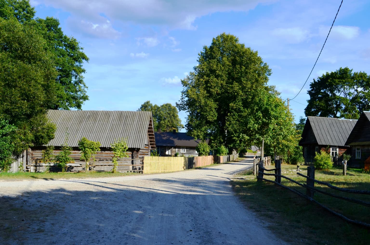
Dzūkija National Park is best known for its extensive primeval pine forests that represent the heart of Lithuania's woodland heritage, and for the remarkable inland dune landscapes that dominate the central park territory. The park protects the Čepkeliai Marsh, Lithuania's largest bog, which lies immediately south of the protected area and forms an essential ecological complex with the park's wetlands. The park is renowned for its exceptional biodiversity, hosting 254 protected species including rare orchids, European pond turtles, lynx, wolves, and black storks. The ethnographic villages of Zervynos and Musteika preserve traditional Dainava (Dzūkų) wooden architecture and cultural practices including tree resin harvesting and traditional beekeeping, making the park one of the few places in Lithuania where traditional rural lifeways remain visibly integrated with the landscape.

Dzūkija National Park history and protected-area timeline

Dzūkija National Park was established on April 23, 1991, during the period of Lithuania's restoration of independence, marking a significant milestone in the country's environmental protection efforts. However, the territory had already been recognized for its ecological importance prior to national park designation, with several protected areas established within the broader Dainava region starting in 1960, including the Ūla Landscape Reserve and Subartoniai Historic Landscape Reserve, followed by additional reserves in 1974 such as the Skroblus Landscape Reserve, Merkys Ichthyological Reserve, and several botanical reserves. Following Lithuania's accession to the European Union, the park was integrated into the EU's Natura 2000 network, complying with both the Birds Directive and Habitats Directive requirements. In 2011, Dzūkija National Park became the only Lithuanian member of the PAN Parks network, a European association of the most valuable wilderness areas, recognizing its exceptional conservation value and sustainable management. The park administration, based in Merkinė, has developed comprehensive visitor infrastructure including visitor centers in Marcinkonys and Merkinė, numerous marked hiking and cycling trails, and educational programs about the region's natural and cultural heritage.

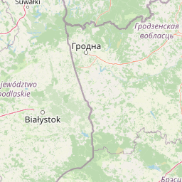
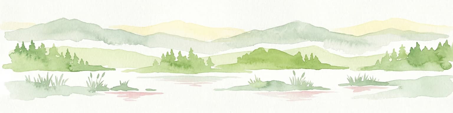
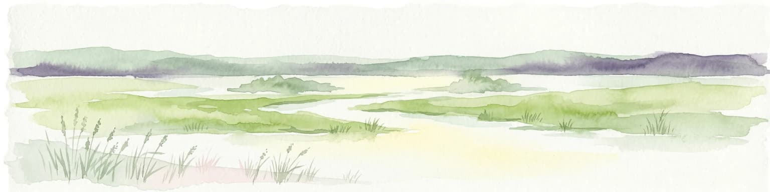
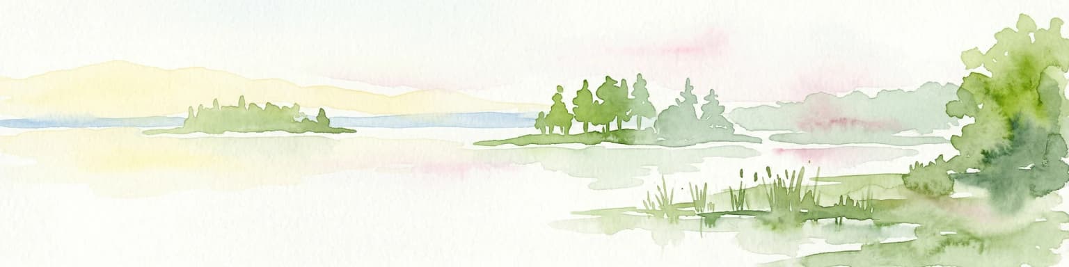
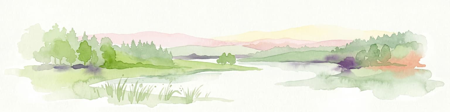
Dzūkija National Park landscape and geographic character

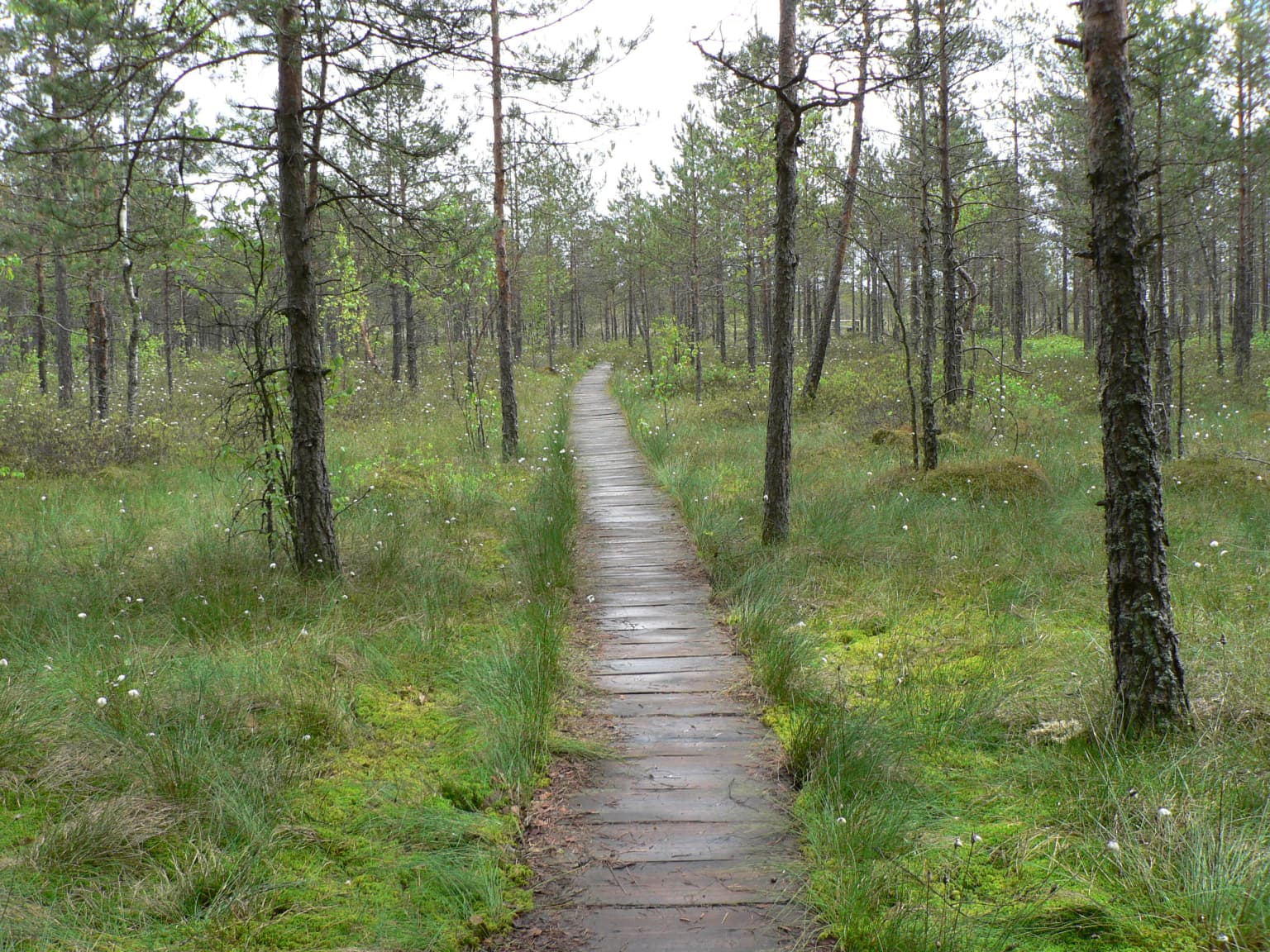
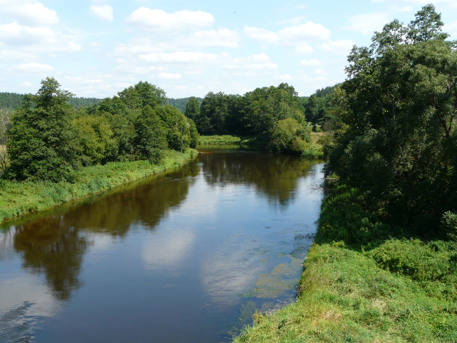
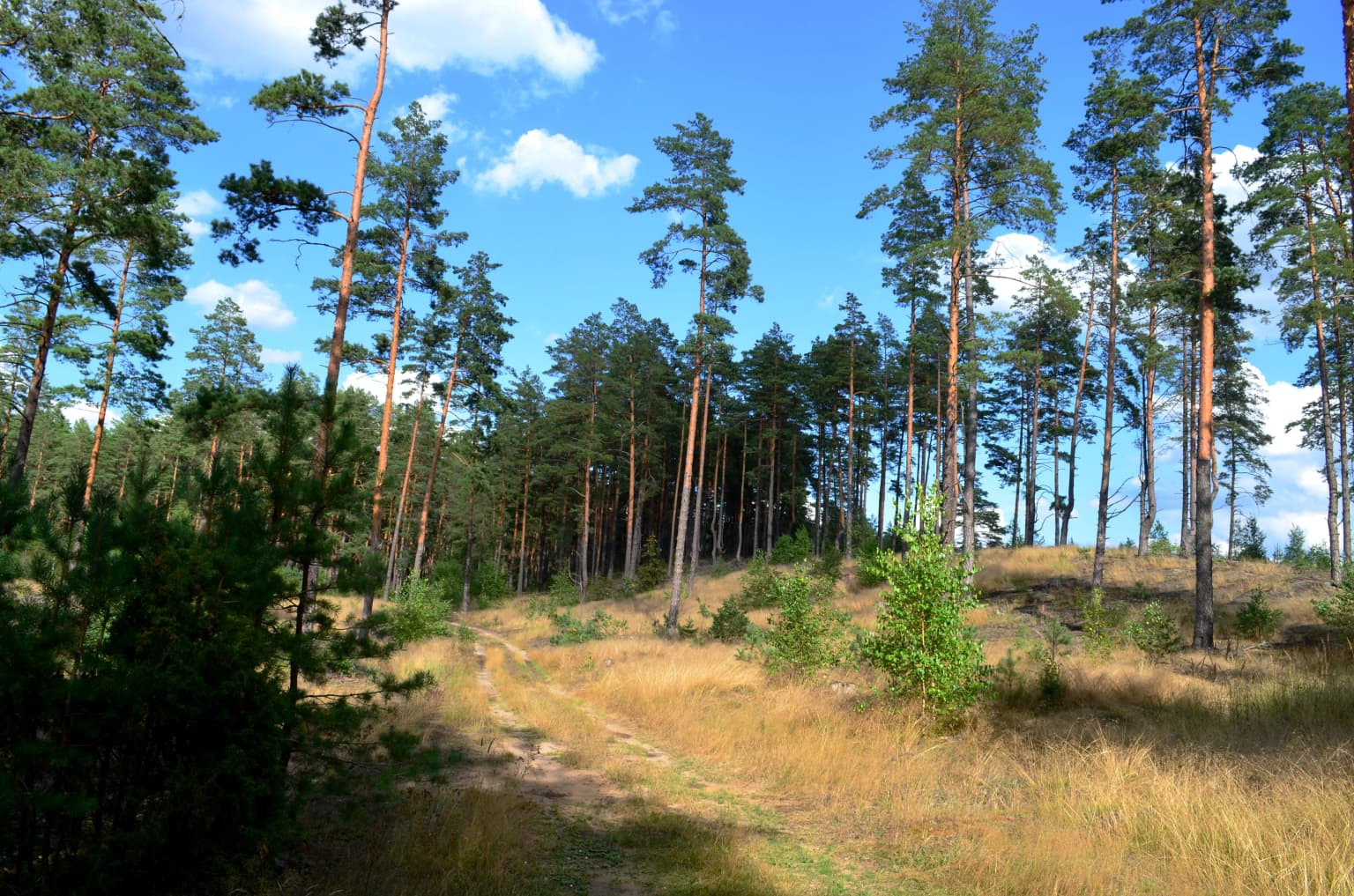
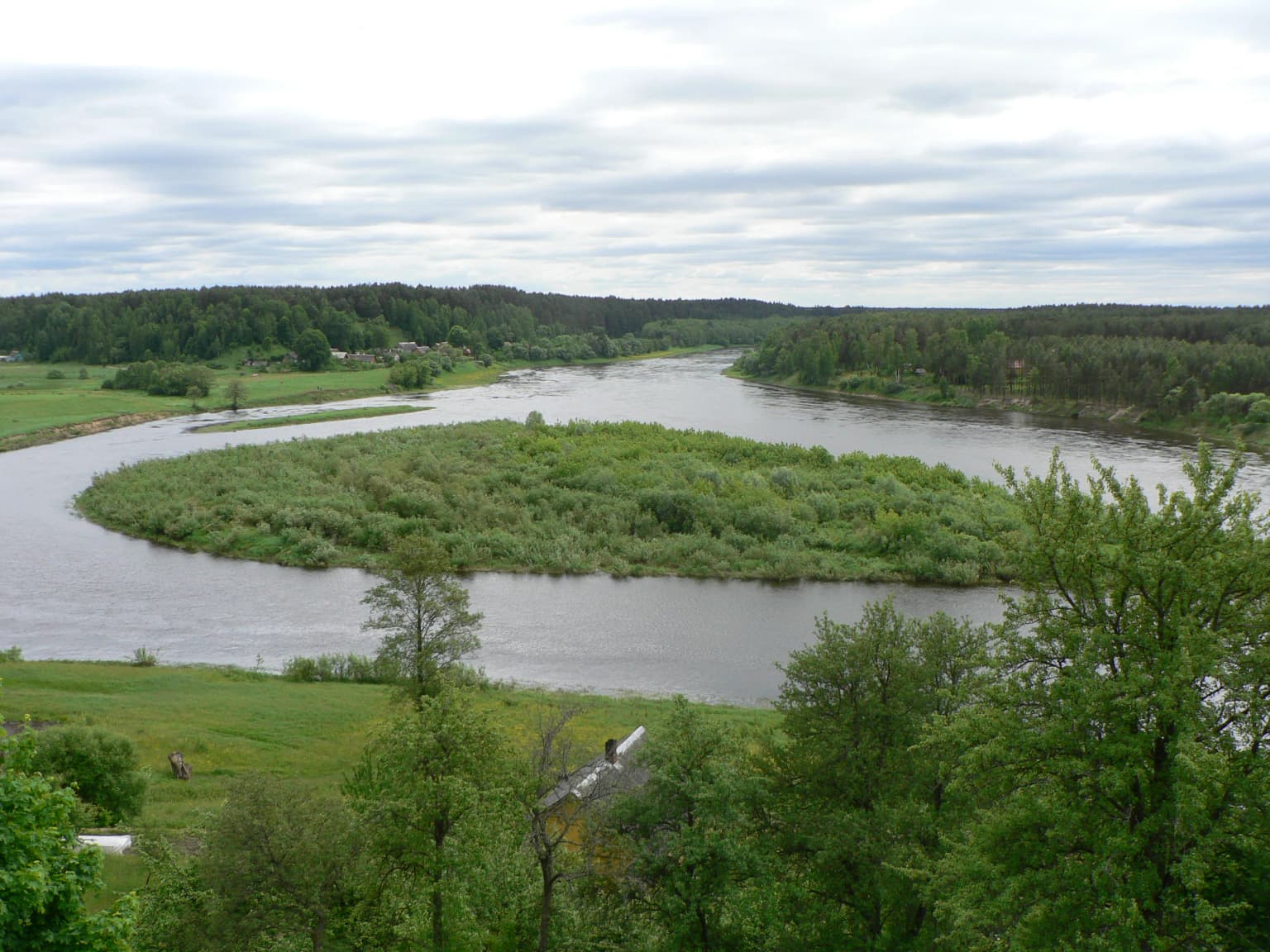
The physical landscape of Dzūkija National Park is characterized by its remarkable diversity of terrain formed by glacial and post-glacial processes. The park sits on the Dainava Plain, a predominantly flat sandy terrain at approximately 100 meters above sea level, but is distinguished by the spectacular inland dune massifs that represent some of the most significant dune systems in the Baltic region. These dunes, concentrated around Marcinkonys, Musteika, Lynežeris, and Grybaulia, form a 61-kilometer dune belt encircling the Čepkeliai Marsh, covering approximately 905 square kilometers in total. The widest dune stretch, measuring 6.8 kilometers, is found near Marcinkonys, while Dalgiakalnis at 168.1 meters represents the park's highest dune. The park's river valleys, particularly those of the Nemunas, Merkys, and Ūla, create dramatic relief where the rivers have cut through the glacial deposits, exposing steep cliffs and creating diverse microhabitats. In the northwestern areas near Merkinė, the landscape transitions into the Dzūkų Upland, featuring more undulating terrain with numerous lakes occupying deep kettle depressions. The park contains 48 lakes covering 232 hectares, concentrated particularly around the Merkinė area and the margins of the Dzūkų Upland, as well as smaller thermokarst lakes formed in dune depressions.

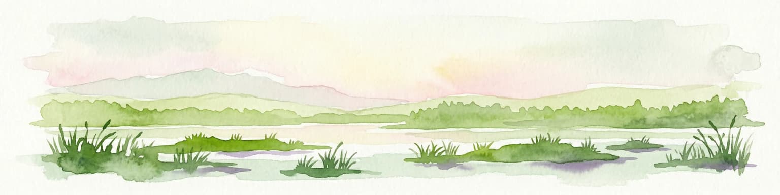
Dzūkija National Park ecosystems, habitats, and plant life

The ecological character of Dzūkija National Park is defined by its extensive forest ecosystems, wetland complexes, and the unique habitats created by the interaction of sandy substrates with the regional climate. Forests cover approximately 85% of the park's territory, with pine-dominated communities comprising 92% of the woodland area, including lichen heaths on dune crests and blueberry-sphagnum communities on the plains and dune slopes. The park contains 36 rivers and streams with a combined length of approximately 300 kilometers, belonging to the Nemunas river basin, and the permeable sandy soils ensure that these watercourses remain flowing throughout the year with cold, clear water fed by numerous springs. The wetland systems are particularly extensive, with 77 wetlands larger than one hectare totaling 1,504 hectares, in addition to the neighboring Čepkeliai Marsh, Lithuania's largest bog, which lies immediately south of the park boundary and forms an essential ecological unit with the park's internal wetlands. The park protects 13 different Natura 2000 habitat types, including open inland dunes, river rapids with community formations, calcareous sandy grasslands with specific plant associations, eutrophic tall herb communities, transitional mires and quaking bogs, springs with tufa formation, western taiga, herb-rich spruce forests, coniferous forests on fluvioglacial eskers, bog woodlands, alluvial forests, and lichen pine forests.

Dzūkija National Park wildlife and species highlights

Dzūkija National Park supports exceptional biodiversity, with 254 protected species documented within its boundaries representing 111 animal species, 100 plant species, and 43 fungi and lichen species. The mammal population includes 54 species, with elks concentrated in the forest interior, red deer preferring river valleys, roe deer common throughout, and wolves primarily inhabiting the Musteika, Lynežeris, and Randamonys areas. Lynx populations occupy the darker spruce forests and wetlands, while European beavers have established robust populations along the river systems. The park hosts approximately 200 bird species, of which 39 are listed in Lithuania's Red Book, with 142 species breeding within the park, 51 occurring during migration, and 7 wintering. Notable species include black storks nesting in the spruce forests and river valleys, lesser spotted eagles, common buzzards, and various woodpecker species. The reptile population is complete, representing all seven species found in Lithuania, while amphibians include 12 species including the rare fire-bellied toad. The park's rivers and lakes support 32 fish species, though migratory species like salmon and sea trout have declined significantly since the construction of the Kauno hydropower dam. Butterflies are particularly diverse, with approximately 760 species recorded, including several southern species at the northern limit of their range.

Dzūkija National Park conservation status and protection priorities

Dzūkija National Park serves as a critical conservation stronghold for Lithuania's natural heritage, protecting the largest and most ecologically significant forest landscape in the country. The park's inclusion in the Natura 2000 network and the PAN Parks association since 2011 recognizes its European-level conservation importance, with the park serving as the only Lithuanian member of this prestigious wilderness preservation network. Within the park, approximately 46% of the territory is designated for stricter protection through three strict reserves (Musteikos, Povilnio, and Skroblaus) and numerous landscape and nature reserves protecting specific geological, hydrological, and ecological features. The park protects 13 different Natura 2000 habitat types and serves as a crucial corridor for large mammals including wolves, lynx, and elks that require extensive territories. The Dainava Forest area within the park, spanning 54,833 hectares, is designated specifically for habitat protection, preserving old-growth forest communities and the species dependent on these increasingly rare ecosystems. Conservation challenges include the impacts of commercial forestry, the spread of monoculture plantations, and the need to maintain the traditional cultural landscape that supports many protected species dependent on the mosaic of forests, wetlands, meadows, and traditional land use.

Dzūkija National Park cultural meaning and human context

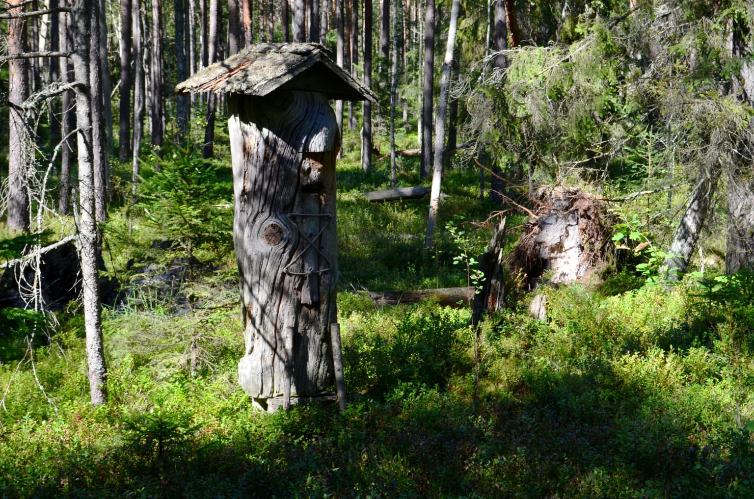
The cultural landscape of Dzūkija National Park reflects centuries of human interaction with the forest environment, preserving one of Lithuania's most distinctive regional cultural identities. The park encompasses the historic Dainava region, home to the šilų dzūkai (forest Dzūkians) who traditionally lived in forest clearance settlements, earning their living from forestry, beekeeping, hunting, and seasonal gathering of berries and mushrooms. The park contains several exceptional ethnographic villages, particularly Zervynos and Musteika, which have preserved traditional wooden architecture and cultural practices to a remarkable degree. The distinctive dzūkų dialect of Lithuanian is still widely spoken throughout the park territory. Traditional crafts including woodcarving, basket weaving, and tree resin harvesting (daržininkystė) remain living traditions, with the Dzūkian Traditional Beekeeping Museum in Musteika preserving this unique aspect of regional heritage. The park protects over 50 cultural heritage objects, including historic churches in Merkinė and Liškiava, the latter featuring a notable church and Dominican monastery complex on the Nemunas riverbank. The park's cultural significance is recognized through various traditional practices that continue to this day, including communal livestock grazing, traditional beekeeping in carved tree hollows, and the maintenance of ethnographic architecture.

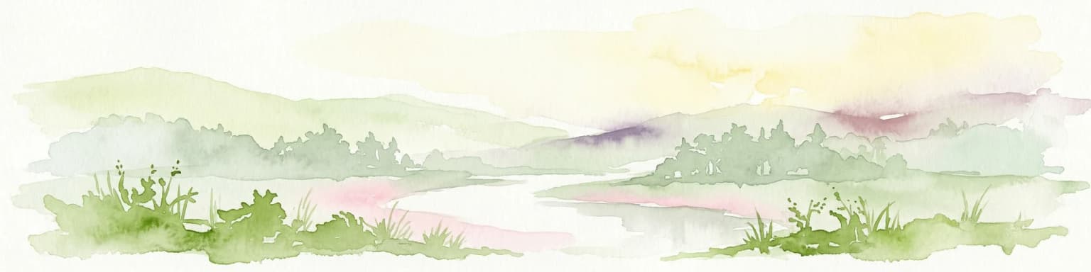
Top sights and standout views in Dzūkija National Park

The highlights of Dzūkija National Park include the spectacular inland dune landscapes around Marcinkonys, where wind-shaped sand dunes rise from the pine forests creating one of the most distinctive natural scenes in the Baltic region. The Čepkeliai Marsh, immediately south of the park, represents Lithuania's largest bog and forms an essential ecological complex with the park's wetland systems. The park's river systems, particularly the dramatic cliff-lined valleys of the Ūla and the broad floodplains of the Nemunas, offer exceptional paddling and wildlife observation opportunities. The ethnographic villages of Zervynos and Musteika preserve traditional wooden architecture and living cultural practices, while the Merkinė area features historic religious buildings and the park's main visitor center. The exceptional biodiversity, including wolves, lynx, black storks, and numerous rare plants and invertebrates, makes the park particularly significant for nature observation and ecological study.

Best time to visit Dzūkija National Park

The best time to visit Dzūkija National Park depends on the desired experience, as each season offers distinct advantages for exploring this diverse protected landscape. Summer months bring warm conditions ideal for hiking, kayaking on the river systems, and foraging for berries and mushrooms that grow abundantly throughout the forest. The dune heaths burst into color during late summer with flowering heather, while the wetland areas provide excellent opportunities for birdwatching during the breeding season. Autumn offers the traditional experience of mushroom and berry picking that has defined the region's culture for centuries, with the forest producing abundant chanterelles, porcini, and various berry species. Winter transforms the landscape, offering opportunities for cross-country skiing on the numerous trails when snow conditions permit, while the bare trees provide better visibility for wildlife observation, particularly the large mammals that become more active in the quieter, colder months. Spring brings the breeding season for many bird species and the emergence of amphibians from their winter dormancy, while the river valleys experience spring flooding that creates dramatic water scenes.

Park location guide

Geography guide, regional context, and park location map for Dzūkija National Park

Dzūkija National Park park geography, regions, and map view in Lithuania
Understand where Dzūkija National Park sits in Lithuania through a broader geographic reading of the surrounding landscape, nearby location context, and its mapped position within the national park landscape.

How Dzūkija National Park fits into Lithuania

Lithuania is a unitary semi-presidential republic and one of three Baltic states in Northern Europe. It lies on the eastern coast of the Baltic Sea, with Vilnius as its capital and largest city. The country regained independence in 1990 after Soviet occupation and joined the European Union in 2004. Lithuania has a population of about 2.9 million and covers an area of 65,300 km².

Wider geography shaping Dzūkija National Park in Lithuania

Lithuania is situated on the eastern shore of the Baltic Sea in Northern Europe. It borders Latvia to the north, Belarus to the east and south, Poland to the south, and Russia's Kaliningrad Oblast to the southwest. The country also has a maritime border with Sweden to the west. The terrain is largely flat with rolling hills, numerous lakes, and rivers. The Nemunas River is the longest river in the country.

Map view of Dzūkija National Park

Use this park location map to pinpoint Dzūkija National Park in Lithuania, understand its exact geographic position, and read its mapped placement within the surrounding landscape more clearly.

Pigeon | © OpenStreetMap contributors
Park atlas

Explore the Surrounding Protected Landscapes and Regional Park Geography in Lithuania and the Baltic Region

Discover Other National Parks and Protected Areas Near Dzūkija National Park
After exploring Dzūkija National Park, compare its unique pine forests and inland dune systems with other significant protected areas across the broader Baltic region. Trace the geographic spread of national parks and conservation landscapes, understanding how they connect ecologically and culturally across the Eastern European terrain.
National park

Trakai National Historic Park: Medieval Heritage and Lake District Protected Landscape

Explore Lithuania's historic park and its mapped geographic context.

Trakai National Historic Park offers a rich tapestry of medieval history intertwined with a captivating lake district landscape. As a protected area in southeastern Lithuania, it preserves significant architectural monuments, including the iconic Trakai Castle, set against a backdrop of interconnected lakes, forests, and wetlands. MoriAtlas provides a structured overview of its geographic boundaries and regional setting, facilitating atlas-style exploration of this historically significant protected landscape.

Access
Moderate access
Scope
Mixed
Watercolor illustration showing lakes, green vegetation, and hills in the background
National parkPodlaskie Voivodeship

Wigry National Park: Protected Area Atlas of Poland's Glacial Lake District

Explore mapped landscapes and wetland ecosystems in Podlaskie Voivodeship

Delve into the geography of Wigry National Park, a national park situated in the Podlaskie Voivodeship of northeastern Poland. This protected area is defined by its glacial landscape, featuring 42 lakes including the expansive Lake Wigry, alongside critical wetland habitats and significant peat bogs. Discover the mapped boundaries and ecological importance of Wigry National Park, renowned as a prime location for beaver populations and a vital component of Poland's protected lands atlas.

Area
150.86 km²
Established
1989
IUCN
II
Visitors
110K annual
Watercolor painting showing a wetland scene with reeds, patches of water, and trees under a light sky
National parkPodlaskie Voivodeship

Biebrza National Park: Poland's Largest National Park and European Wetland Atlas

Explore the mapped geography of its vast protected fenlands.

Biebrza National Park represents a critical protected landscape in northeastern Poland, famed for its vast, intact Biebrza Marshes, the largest lowland peat bog complex in Europe. This national park page offers detailed geographic context, highlighting the unique fenland terrain, marshland ecosystems, and protected area boundaries. Discover why this region is internationally recognized for its biodiversity and its significance within the broader atlas of European protected lands.

Area
592.23 km²
Established
1993
IUCN
II
Watercolor illustration of a river flowing through grassy terrain with rolling hills in the background
National parkPodlaskie Voivodeship

Białowieża National Park: Europe's Last Unmodified Primeval Forest and Bison Habitat

Mapped protected landscape and regional geography in Podlaskie Voivodeship.

As Poland's most vital natural heritage site, Białowieża National Park protects an exceptionally rare example of an ancient temperate primeval forest. This national park, located within the Podlaskie Voivodeship, serves as a living ecological laboratory, showcasing natural processes in unmodified woodland habitats. Its significance extends to being a critical sanctuary for the European bison, housing the world's largest free-ranging population. MoriAtlas provides detailed map context and geographic insights into this globally important protected area and its unique landscape.

Area
105.17 km²
Established
1932
IUCN
II
Visitors
140K annual
Watercolor painting showing a river flowing through a forested landscape with green hills, distant mountains, and a pink and yellow sky
National park

Belavezhskaya Pushcha National Park: Ancient Primeval Forest & European Bison Sanctuary

Explore mapped protected areas and regional geography.

Belavezhskaya Pushcha National Park stands as a testament to Europe's ancient woodland heritage, a protected landscape of immense ecological value. This primeval forest, a sanctuary for the European bison, offers a unique glimpse into an ecosystem preserved for millennia. The park's mapped boundaries and geographic context provide essential detail for understanding its role as a critical natural monument and a cornerstone of regional protected areas.

Area
1,500.69 km²
Established
1932
IUCN
II
Visitors
300K annual
Watercolor painting showing a winding river through marshy fields with distant hills
National parkPodlaskie Voivodeship

Narew National Park: Discover Poland's Premier Wetland National Park with Unique River Geography

Explore its mapped boundaries and rich protected landscape.

Narew National Park represents a significant protected area within the Podlaskie Voivodeship, distinguished by its one-of-a-kind anastomosing river system where the Narew River splits into numerous interconnected channels. This dynamic wetland environment provides critical habitat and showcases a complex interplay of water, land, and diverse ecosystems. Users can explore the park's geographic features, understand its protected landscape status, and appreciate its vital role within the regional atlas through detailed mapping and factual context.

Area
73.5 km²
Established
1996
IUCN
II
Relief
Lowland
National parkMinsk Region

Narachanski National Park: Belarus's Premier National Park and Lake District Atlas

Explore protected glacial terrain and diverse lake systems.

Narachanski National Park is the crown jewel of Belarus's lake district, a protected national park safeguarding a landscape defined by glacial origins and extensive freshwater systems. Centered around Lake Narach, the park's territory within Minsk Region showcases a varied terrain of moraine hills, depressions, and over 30 lakes. This atlas perspective highlights the park's unique geological features, extensive forests, and its role as a vital protected area for understanding regional geography.

Area
933 km²
Established
1999
IUCN
II
Relief
Lowland
National park

Aukštaitija National Park: Lithuania's Oldest National Park and Protected Landscape Exploration

Mapped geography and lake district atlas for this Baltic region park.

Delve into Aukštaitija National Park, Lithuania's pioneering national park and a key protected area in the Baltic region. This detailed atlas entry highlights its defining geography: an extensive mosaic of over 120 lakes interwoven with ancient pine forests across undulating highlands. Understand the park's protected landscape, its mapped boundaries, and its ecological significance within Eastern Europe's natural terrain.

Area
410.56 km²
Established
1974
IUCN
II
Relief
Upland

Common questions about visiting, size, designation, and location context for Dzūkija National Park

Dzūkija National Park FAQs for park facts, access, geography, and protected area context
Find quick answers about Dzūkija National Park, including protected-area facts, park geography, trail and visitor context, and how the park fits into its surrounding country and regional landscape.
MoriAtlas Explorer

Continue Your Protected Areas Search Across the Global Atlas

Deepen your exploration by continuing the structured search for national parks and protected areas worldwide. Utilize the comprehensive filtering capabilities to compare different conservation landscapes and refine your understanding of global park geography. Discover more about the distribution and characteristics of protected natural areas.

Global natural geography