Mori Atlas logo
Park earthquake history

Explore a curated catalogue of seismic events mapped by epicentre distance to the park boundaries.

Historical Earthquake Records and Recorded Seismic Activity Near Teide National Park

Access a structured historical database of recorded earthquakes associated with the geographic region encompassing Teide National Park. This catalogue provides a clear view of past seismic events by listing specific dates, magnitudes, and depths for each record. Users can investigate regional patterns and distance-based correlations to understand the historical seismic profile of this volcanic landscape without assessing current hazards or predictions.

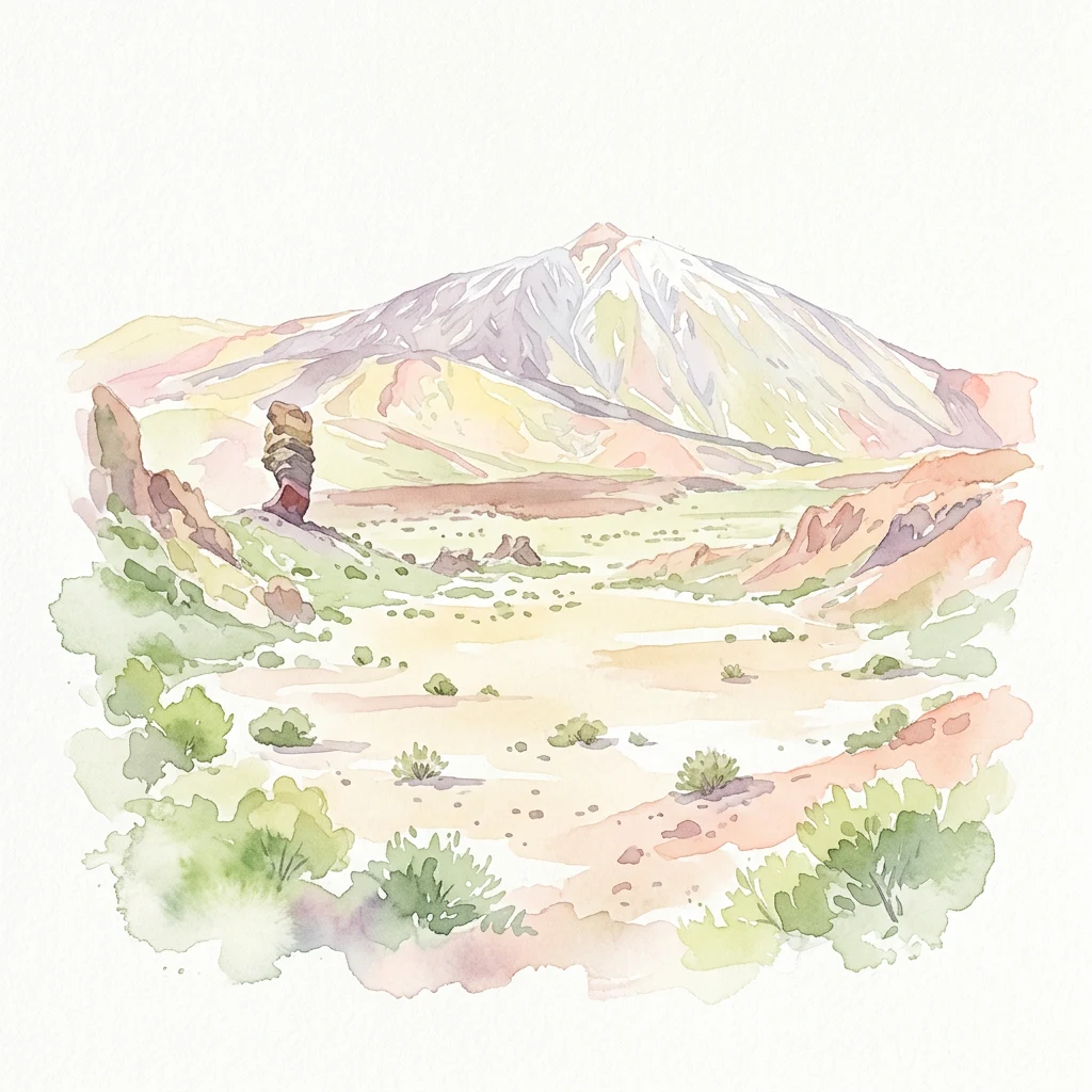
Watercolor illustration showing Mount Teide with volcanic terrain, sparse vegetation, and a hiker on a trail

Spain's highest volcanic peak and most visited national park, protecting a dramatic Canary Islands landscape of global scientific significance

Teide National Park

Teide National Park occupies the central highlands of Tenerife in Spain's Canary Islands, centered on Mount Teide, the highest peak in Spain and the tallest volcano in the Atlantic Ocean islands. The park encompasses approximately 18,990 hectares of volcanic terrain centered around the Las Cañadas caldera, a vast crater formed by ancient eruptions. Mount Teide rises to 3,718 meters above sea level, making it the third tallest volcano in the world when measured from its base on the ocean floor at 7,500 meters. Pico Viejo, the second highest peak in the Canary Islands at 3,135 meters, also falls within the park boundaries. The landscape features dramatic lava flows, rock formations, and volcanic features that create one of Europe's most distinctive protected landscapes. Established in 1954, the park welcomes over 4 million visitors annually, making it the most-visited national park in Spain and one of the most visited in the world.

Location
Spain
Park type
National park
Established
1954
Area
189.9 km²
Highest point
3,718 m
Teide National Park Protected Landscape

Filter and compare historical seismic events near Teide National Park by epicentre distance.

Historical Earthquake Records Associated with Teide National Park

Historical seismic records document global and regional earthquake activity mapped by calculated distance from the boundaries of Teide National Park. Individual entries in the index provide verified origin dates, magnitudes, focal depths, reported epicentre locations, calculated park distances, and direct links to primary source networks.

Sort by
Magnitude
Location

This page describes catalogued earthquakes associated with the park by epicentre location and distance. It does not establish causation, assess current danger, or predict future earthquakes.

No earthquake records match the current filters

Park atlas

Continue geographic discovery by navigating to other global park profiles and maps

Explore Major National Parks and Protected Landscapes Beyond Teide

Users can navigate toward alternative national parks and conserved territories to study distinct natural environments and regional biomes. Accessing various global park profiles provides essential geographic context for comparing conservation strategies and land designations.
National park
47 km away#1 closest

West

Garajonay National Park: Ancient Laurisilva Forest and Volcanic Landscapes

Explore Spain's unique protected area with rich geographic context.

Garajonay National Park, a treasure of La Gomera, preserves one of the last stands of Europe's ancient laurisilva forest atop dramatic volcanic terrain. This national park offers a rare opportunity to explore a landscape shaped by persistent cloud cover and unique island evolution. Examine the park's mapped boundaries and distinctive natural features through its detailed geographic profile.

Area
40 km²
Established
1981
IUCN
II
Visitors
450K annual
Watercolor illustration showing a mountainous landscape with green forests, a winding river, and distant hills
National park
117 km away#2 closest

Northwest

Caldera de Taburiente National Park: National Park & Geological Heritage Site

Explore its volcanic caldera, mapped ravines, and pine forests.

Caldera de Taburiente National Park is a protected natural area on the island of La Palma, Spain. It encompasses a vast, approximately 10-kilometer-wide volcanic caldera, characterized by immense cliffs, deep ravines, and extensive Canary Island Pine forests. This national park is recognized for its significant geological features and unique landscape, making it a key destination for understanding protected area geography and regional natural heritage.

Area
46.9 km²
Established
1954
IUCN
II
Visitors
389K annual
Watercolor painting of a landscape with grassy areas, a winding river, and mountains under a light sky
National parkCanary Islands
269 km away#3 closest

East

Timanfaya National Park: Dramatic Volcanic Landscape in the Canary Islands

Explore Spain's unique geological national park.

Timanfaya National Park offers an extraordinary exploration of volcanic terrain, a protected area that defines geological conservation in the Canary Islands. Its landscape, shaped by powerful eruptions, features vast lava fields, striking volcanic cones, and visible geothermal activity. As Spain's only purely geological national park, Timanfaya provides a unique context for understanding volcanic processes and appreciating the raw beauty of its protected natural environment, serving as a key landmark within the archipelago's geography.

Area
51.07 km²
Established
1974
IUCN
II
Relief
Mountain
Watercolor painting depicting mountains, a body of water, and vegetation
National parkLaâyoune-Sakia El Hamra
About 410 km away#4 closest

East

Khenifiss National Park: A Protected Landscape within Laâyoune-Sakia El Hamra Region

Explore its mapped protected area and regional geography.

Khenifiss National Park offers a distinct entry into protected landscape exploration within the Laâyoune-Sakia El Hamra region. This park detail page provides core geographic context, focusing on its mapped boundaries and its significance as a protected natural area. Dive into the structured data that defines Khenifiss National Park, facilitating a deeper atlas-based understanding of its landscape and regional distribution.

Area
1,850 km²
Established
2006
IUCN
II
Relief
Lowland
National parkMorocco
About 689 km away#5 closest

East

Souss-Massa National Park: Moroccan Coastal Protected Landscape and Geographic Map

Explore vital protected areas and mapped natural terrain on the Atlantic coast.

Souss-Massa National Park is a critical national park situated along the Atlantic coast of Morocco. This protected landscape offers a unique atlas-style view of its diverse geography, including vital wetlands, sand dunes, and coastal steppe. Delve into the mapped boundaries and understand the park's ecological significance within Morocco's regional landscape context.

Area
338 km²
Established
1991
IUCN
II
Relief
Lowland
National parkMauritania
About 883 km away#6 closest

South

Banc d'Arguin National Park: Mauritania's National Park Geography and Mapped Boundaries

Explore the geographic identity and protected landscape.

Investigate Banc d'Arguin National Park, a significant national park located in Mauritania. This detailed page offers insights into its protected landscape, mapped geographic features, and its regional context. Understand the specific park boundaries and how the area contributes to the atlas of protected lands in Northwest Africa.

Area
12,000 km²
Established
1976
IUCN
II
Relief
Lowland
National parkMorocco
About 890 km away#7 closest

East

Toubkal National Park: Morocco's Key Protected National Park for Geographic Exploration

Mapped boundaries and regional landscape context within Morocco.

Toubkal National Park stands as a significant protected area within Morocco, offering a lens through which to explore its diverse natural geography and protected landscapes. This national park designation signifies its importance for understanding the country's conservation efforts and its mapped territorial integrity. Users can discover the park's unique geographic attributes and its role within the larger atlas of Moroccan protected lands, providing foundational context for further geographic discovery.

Area
380 km²
Established
1942
IUCN
II
Relief
Mountain
National parkMorocco
About 1,148 km away#8 closest

Northeast

Haut Atlas Oriental National Park: National Park Mapping and Protected Landscape Identity

Explore its mapped geography and regional atlas context.

Delve into the specifics of Haut Atlas Oriental National Park, a designated national park in Morocco. This page serves as a detailed atlas entry, focusing on the park's protected landscape characteristics, its defined geographic boundaries, and its significance within the national park system. Understand the terrain and regional context that shape this important natural area for focused discovery.

Area
490 km²
IUCN
II
Relief
Mountain
Climate
Alpine
MoriAtlas Explorer

Continue Exploring Teide National Park's Volcanic Geography and Mapped Boundaries

Delve deeper into the unique atlas representation of Teide National Park, understanding its role as a protected volcanic landscape within Tenerife. Examine its geographic features and protected area context to enhance your knowledge of Spain's natural territories and island geography. This exploration offers structured insights into a remarkable protected landscape.