
Why Caldera de Taburiente National Park stands out
Caldera de Taburiente is best known for its extraordinary geological structure, a massive erosional caldera formed by a massive flank collapse of an ancient shield volcano approximately 525,000 years ago. The International Union of Geological Sciences recognized it as a geological heritage site of international significance. The park features one of the Canary Islands' largest continuous forests of Canary Island Pine, a fire-adapted endemic species that dominates the slopes. The laurel pigeon, red-billed chough, and Atlantic canary inhabit the park, which has been designated an Important Bird Area.
Caldera de Taburiente National Park history and protected-area timeline
The Caldera de Taburiente holds significant human history dating back to the indigenous Guanche inhabitants of the Canary Islands. During the Spanish conquest of the islands in the 15th century, the caldera served as the final stronghold of the Benahoaritas, the indigenous people of La Palma. The site's natural defenses proved impregnable to Spanish forces, and the conquistadors only succeeded by luring the Benahoarita leader out under false pretenses of negotiation. In 1815, German geologist Christian Leopold von Buch visited the Canary Islands, distinguishing between the volcanic caldera of Tenerife's Las Cañadas and the erosional origins of Taburiente. Upon returning to Germany, he published his observations and introduced the term "caldera" into the geological vocabulary, a contribution that shaped volcanic terminology worldwide. The mountain has been privately owned since 1557 by the Community of Haciendas of Argual and Tazacorte. The national park was established in 1954, making it the second protected area in the Canary Islands to receive national park status and the fourth in Spain.
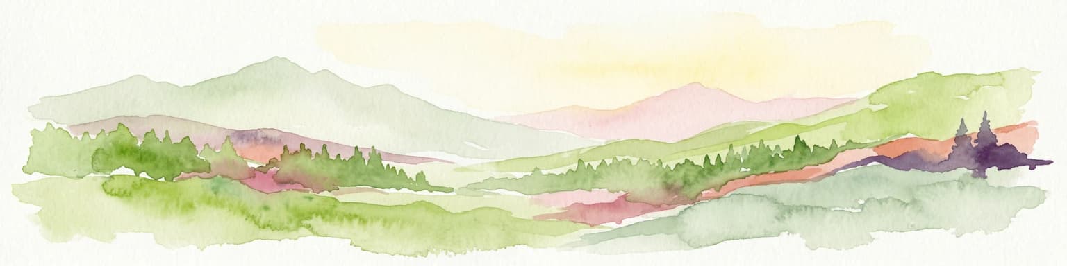
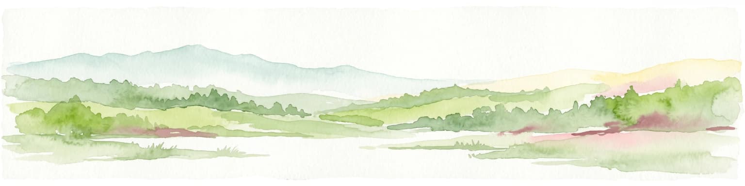
Caldera de Taburiente National Park landscape and geographic character
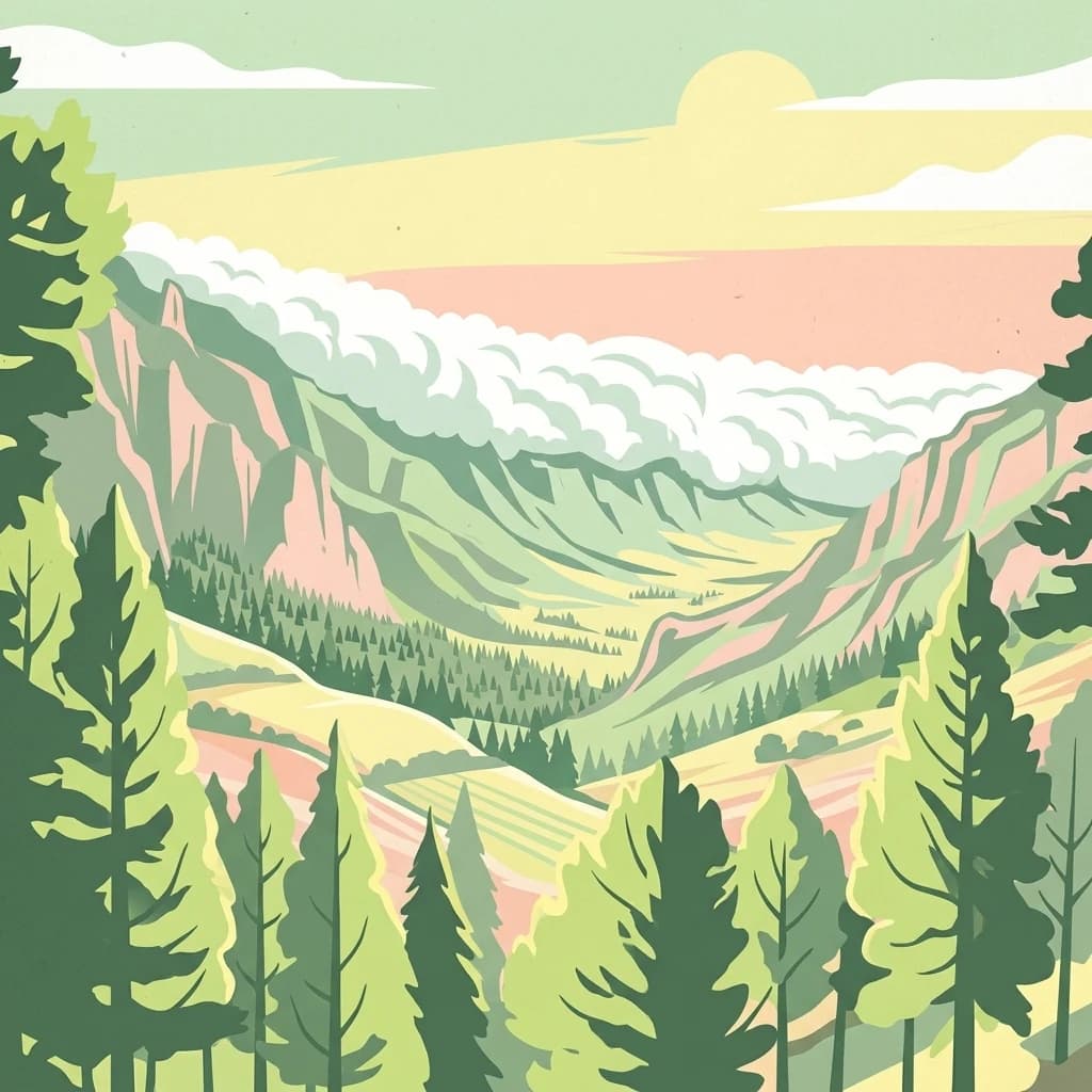
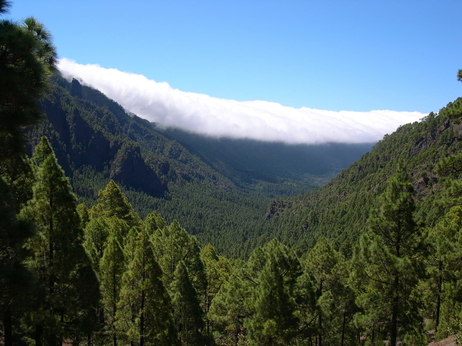
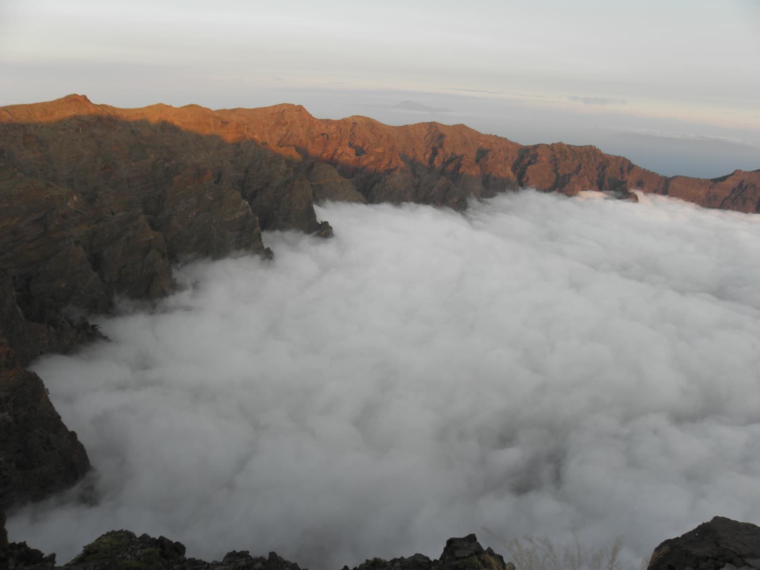
The landscape of Caldera de Taburiente is defined by its extraordinary volcanic topography. The caldera forms a vast bowl approximately 10 kilometers in diameter, with walls that tower up to 2,000 meters above the caldera floor—a vertical relief that ranks among the most impressive in the Canary Islands. The highest point, the Roque de los Muchachos on the northern rim, reaches 2,426 meters and is accessible by road. The southern rim features a lower point called Cumbrecita. In the southwestern portion, the caldera wall gives way to the Barranco de las Angustias, a steep gorge that carries water to the coast and represents the caldera's only drainage outlet. The surrounding landscape includes the ridge of Cumbre Nueva, which extends southward from the caldera rim. Within the interior, deep ravines have been carved by water, and the park features notable waterfalls including the Salto de la Desfondada with a drop of approximately 150 meters. The combination of sheer cliff faces, pine-covered slopes, and dramatic ravine systems creates a landscape of exceptional visual diversity.

Caldera de Taburiente National Park ecosystems, habitats, and plant life
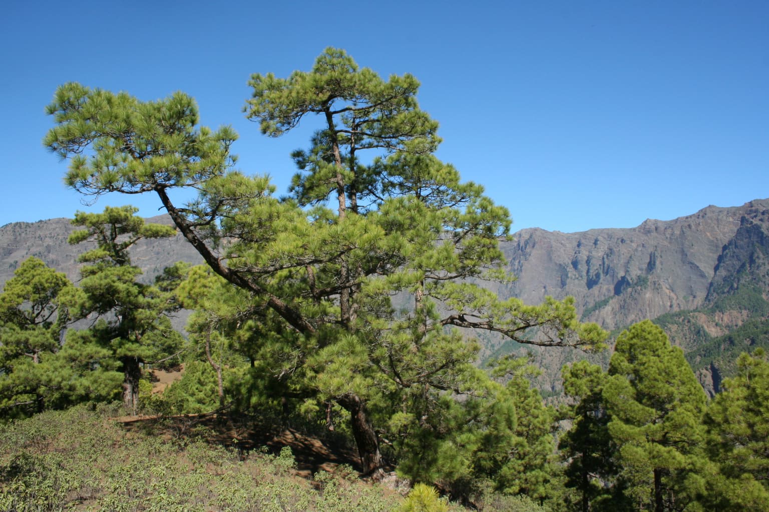
The ecological character of Caldera de Taburiente reflects the interplay between volcanic terrain and the island's subtropical climate. The park supports distinct vegetation zones determined by altitude and moisture availability. Canary Island Pine dominates the slopes, forming extensive forests that are a signature feature of the landscape. This endemic species has evolved remarkable fire resistance, capable of surviving volcanic eruptions due to its thick bark and regenerative abilities. Above 1,700 meters, the vegetation transitions to include codeso, Canary Islands juniper, and high-altitude endemics. In the damper ravines within the caldera, remnants of laurisilva laurel forest persist, featuring species such as faya, brezo, acebiño, and laurel. The park's plant communities include numerous endemic species adapted to the volcanic substrates, including various aeoniums, jaras, and the distinctive tajinaste. The volcanic geology also supports unique hydrological features, with numerous springs, streams, and waterfalls fed by the moisture that condenses on the high slopes.
Caldera de Taburiente National Park wildlife and species highlights
The wildlife of Caldera de Taburiente reflects both the park's isolation and the Canary Islands' position as a biogeographical crossroads. The park has been recognized as an Important Bird Area due to populations of laurel pigeons, red-billed choughs, and Atlantic canaries. The pine forests provide habitat for endemic bird species, while the cliff faces support populations of birds of prey including the Canarian kestrel. The invertebrate fauna is particularly diverse, with numerous endemic arthropods including centipedes reaching nearly a hand's length and cave-dwelling beetles that have lost their eyes and pigmentation through adaptation to subterranean life. Vertebrate fauna includes several bat species, introduced mammals such as rabbits and goats that pose conservation challenges, and various reptile species including the perenquén gecko and the endemic Gallotia lizard. The park's streams support fish populations, while amphibians include the Mediterranean tree frog and Perez's frog.
Caldera de Taburiente National Park conservation status and protection priorities
Caldera de Taburiente holds significant conservation importance at multiple levels. The park was designated as a Special Protection Area for Birds (ZEPA) and a Special Area of Conservation (ZEC), forming part of the European Union's Natura 2000 network. In 2002, the entire island of La Palma was designated a UNESCO Biosphere Reserve, integrating the national park within a broader conservation framework. The park's geological significance led to its recognition by the International Union of Geological Sciences as one of 100 global geological heritage sites, acknowledging its importance in the development of volcanology. The management plan emphasizes genetic rescue programs for endangered species, given the high number of endemics present. The Canary Island Pine forests represent a unique ecosystem adapted to volcanic disturbance, while the remnant laurisilva areas preserve biodiversity from the laurel forest that once covered much of the archipelago.
Caldera de Taburiente National Park cultural meaning and human context
The cultural context of Caldera de Taburiente is deeply intertwined with the indigenous Guanche heritage and the later Spanish colonial history. The name "Taburiente" derives from the Guanche language, meaning "plain, level," while "caldera" is Spanish for "cauldron"—a term that entered geological vocabulary through this site. The caldera served as a fortress of last resort for the Benohoarita people during the Spanish conquest, and the memory of their final resistance remains part of the island's cultural identity. The area's ownership by the Community of Haciendas of Argual and Tazacorte since 1557 reflects the historical pattern of land tenure established after the conquest. The landscape has inspired scientific and artistic study since the 19th century, when naturalists combined geological and botanical observations in their documentation of the island.
Top sights and standout views in Caldera de Taburiente National Park
The Roque de los Muchachos offers access to one of the world's premier astronomical observatories at 2,426 meters, where the clear skies and stable atmosphere support cutting-edge telescope facilities. The Barranco de las Angustias provides the only natural exit from the caldera, following a dramatic river valley to the coast. The park contains the Canary Islands' only permanent stream, a rarity in this archipelago. The laurisilva remnants in the caldera's moist ravines preserve ancient forest types. The Salto de la Desfondada waterfall drops approximately 150 meters, one of the tallest in the Canary Islands. The park protects significant populations of endemic species, from the Canary Island Pine to the various endemic birds and invertebrates.
Best time to visit Caldera de Taburiente National Park
The park can be visited throughout the year, with each season offering different qualities. The summer months typically bring clearer skies and more stable weather conditions, making this the most popular period for visitors. Winter often brings more precipitation and cloud cover that can envelop the higher elevations, though the moisture contributes to the park's lush vegetation and flowing waterfalls. Spring and autumn offer moderate conditions with interesting transitional weather patterns. The high altitude means that temperatures are considerably cooler than at the coast, and visitors should be prepared for rapid weather changes regardless of season.