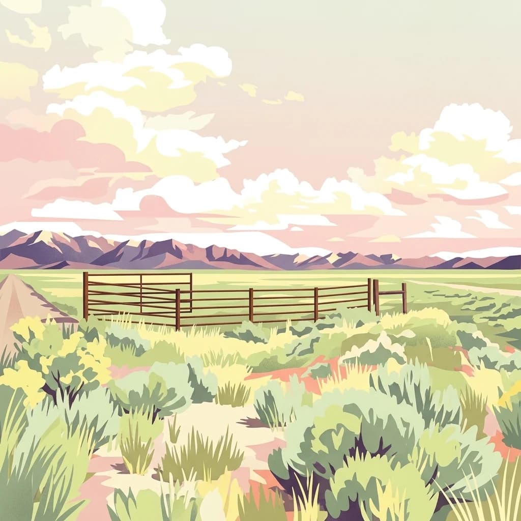
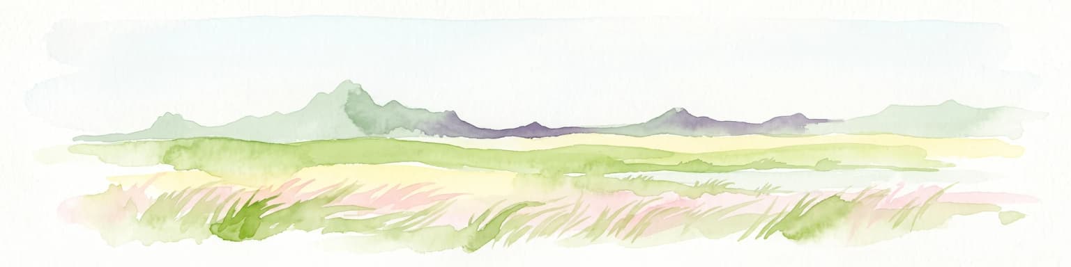
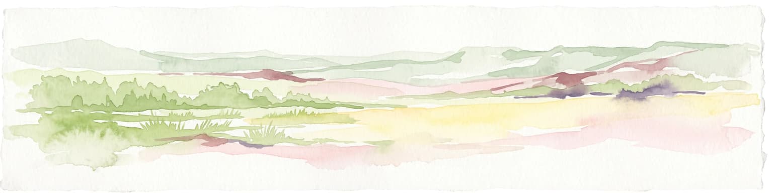
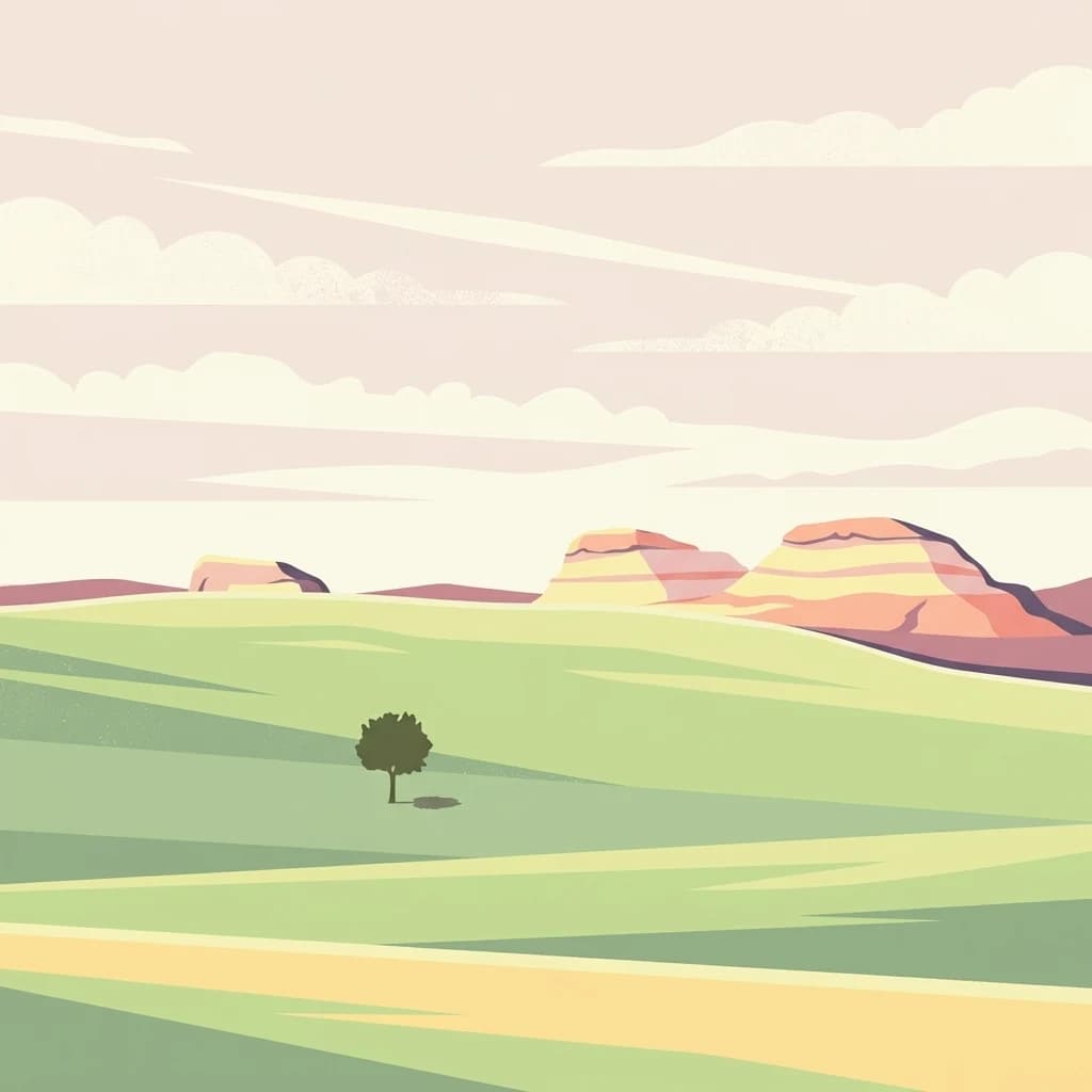
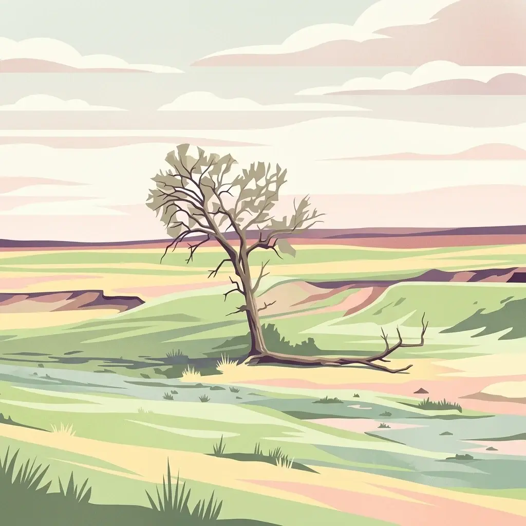
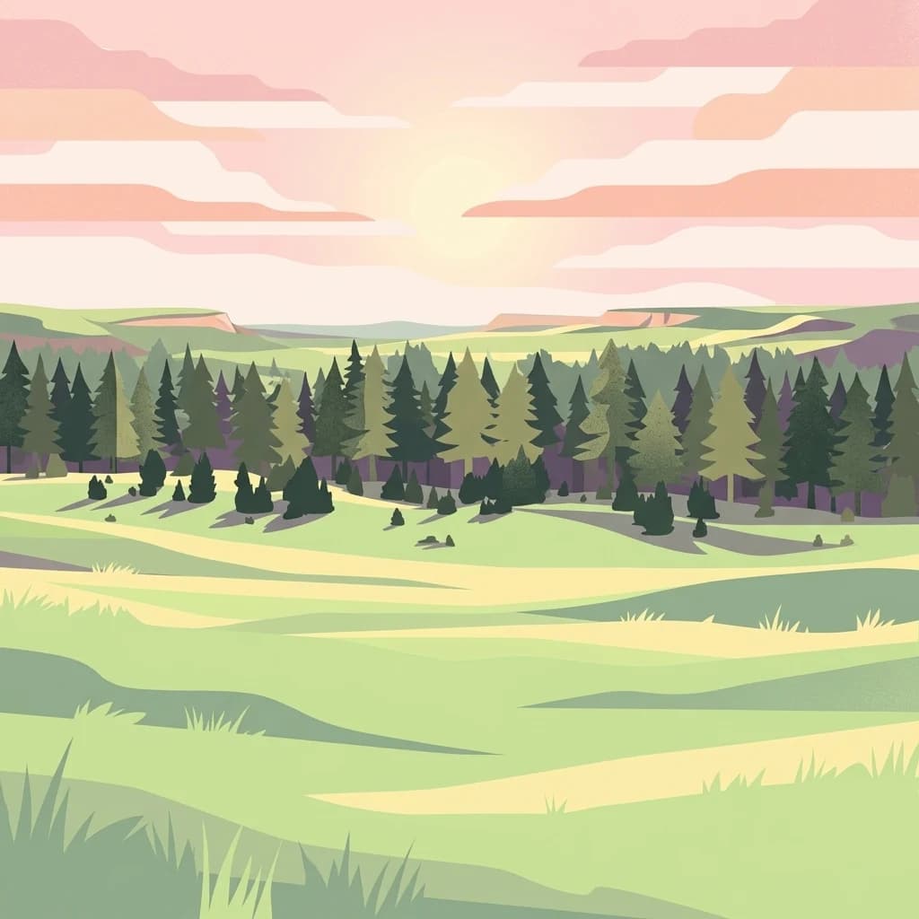
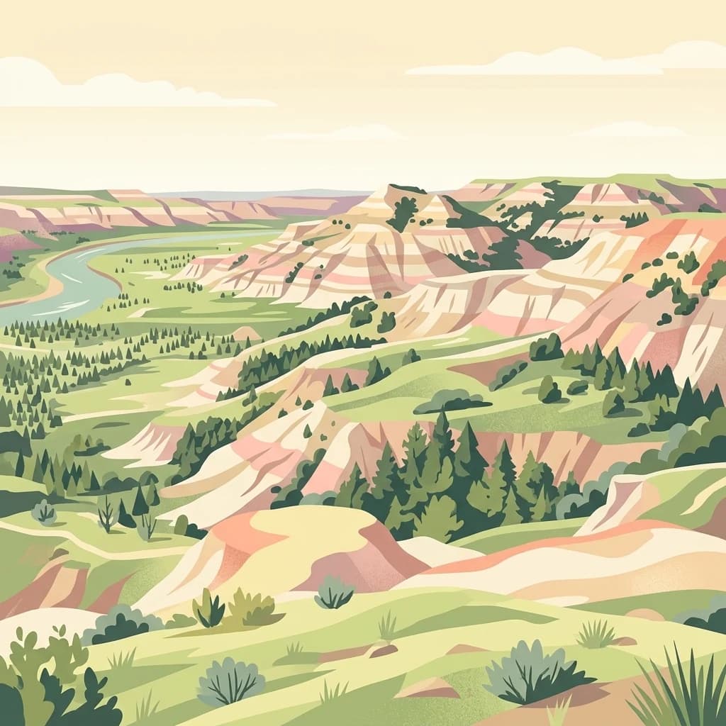
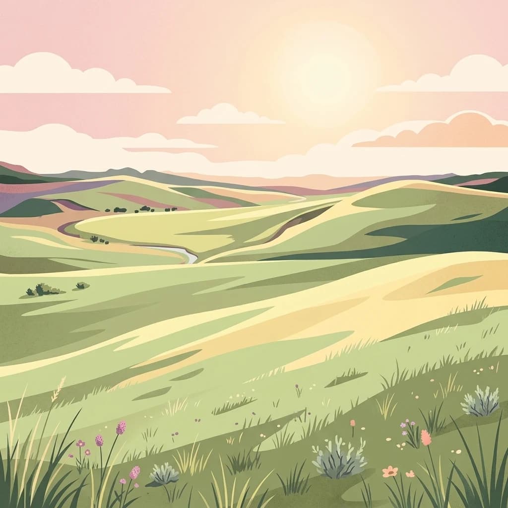
A rolling shortgrass and sagebrush steppe in northeastern Wyoming, bridging the Great Plains and the sagebrush sea.
Thunder Basin National Grassland
Thunder Basin National Grassland is a large federally protected expanse of shortgrass prairie and sagebrush steppe in northeastern Wyoming, lying within the Powder River Basin between the Big Horn Mountains to the west and the Black Hills to the east. The grassland is managed by the U.S. Forest Service and sits across a transitional landscape where the Great Plains meet the sagebrush country of the intermountain West, producing a rich mosaic of habitats across rolling plains, breaks, and badland-like terrain.
The area is defined ecologically by its position along an ecotone between two major North American grassland systems. Its high plateaus, semi-arid climate, and complex pattern of intermingled federal, state, and private lands support a diverse community of grassland wildlife, including large herbivores, burrowing mammals, ground-nesting birds, and predators. Domestic livestock grazing, hunting, hiking, and dispersed camping are central to how the landscape is experienced and used.
What makes Thunder Basin distinctive is the way it blends the open, wind-swept character of the Great Plains with the sage-dominated steppe of the West. The grassland is a working landscape, used by ranching families and managed for wildlife species ranging from pronghorn and mule deer to black-tailed prairie dogs and sage-grouse, while also providing habitat for more than one hundred bird species.