

Mori Atlas logo
Country natural feature index

Mapping the geographic distribution and landscape context of protected water systems across the nation.

Comprehensive Atlas of Rivers and Hydrological Features Found Within Gabon National Parks

Examine the diverse network of rivers and seasonal watercourses flowing through protected areas in Gabon. This collection traces the path of essential natural channels as they move through complex regional terrain, linking headwaters, basins, and floodplains to the broader tropical landscape. Each identified watercourse provides critical context for understanding the intersection of hydrological systems and established park boundaries across the country.

Comprehensive Atlas of Rivers and Hydrological Features Found Within Gabon National Parks

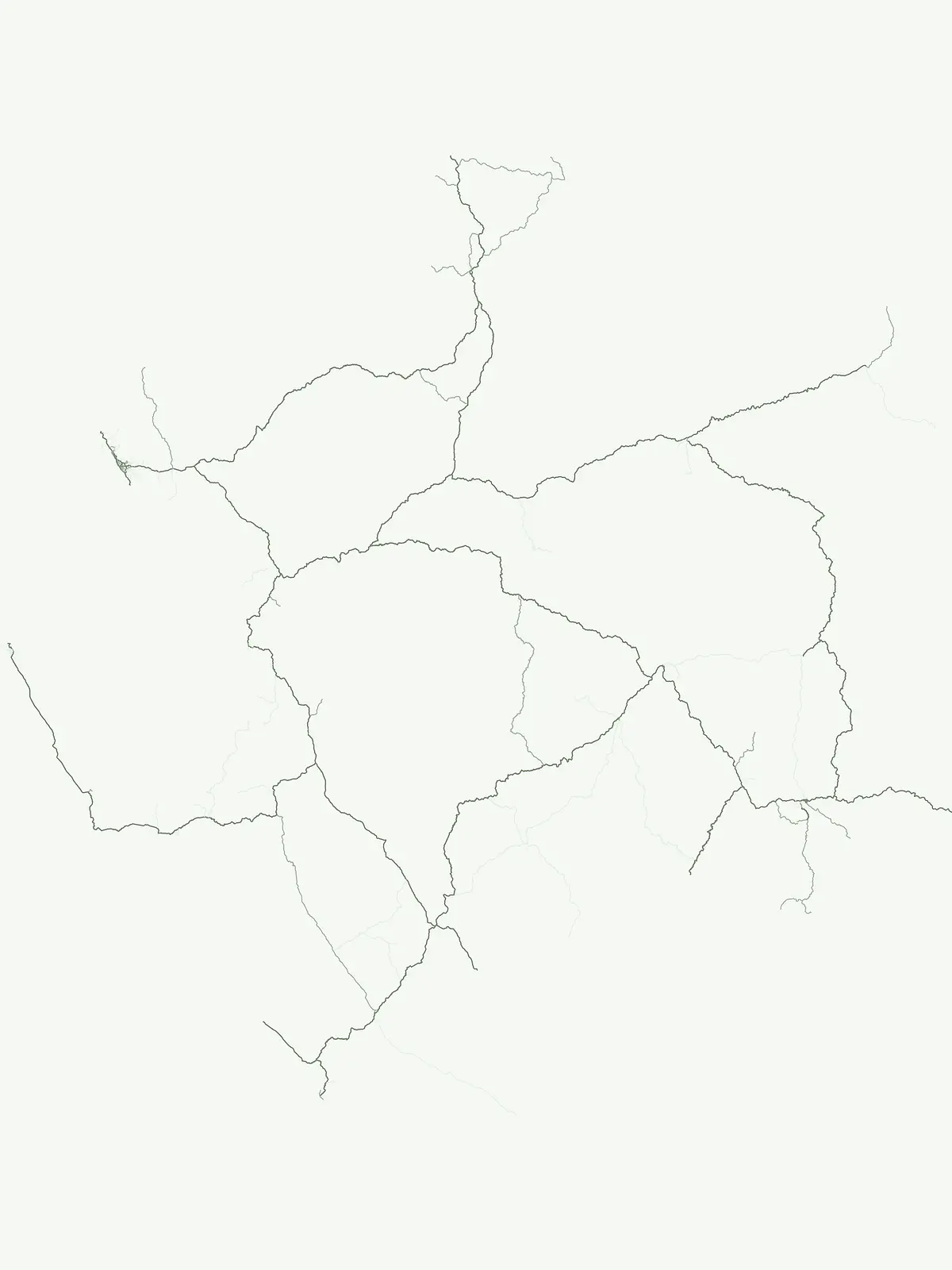
Explore 42 Gabonese rivers linked to protected parks, with 26 recorded in Pongara

Gabon River collection across park-associated equatorial landscapes

The Gabon river collection follows named natural watercourses associated with protected parks while keeping each river distinct from tributary streams and its basin. A country view of Gabonese rivers supports comparison of their identities and park links without inventing lengths, discharge, sources, mouths, navigability, or exhaustive national coverage.

No natural features found

Other countries

Compare protected landscapes and national park geography across diverse Central African nations.

Explore Other National Parks Near Gabon and Across Central Africa

Expand your park exploration beyond Gabon by tracing the mapped spread of national parks and protected areas across neighboring Central African countries. Access structured country park lists and compare diverse conservation landscapes, from coastal regions to vast rainforests, for comprehensive regional atlas discovery.
New Zealand

New Zealand Rivers: Atlas of Mapped Natural Watercourses in Protected Park Territories

Investigate the geographic significance of major river systems flowing through New Zealand protected areas. This structured data resource provides insights into natural watercourse channels, their regional connections, and how they define the physical landscape within various national parks and wild spaces.

233 features

United Kingdom

River Landscapes and Watercourses in United Kingdom National Parks and Protected Areas

Examine named river systems and their segments across United Kingdom protected landscapes. This collection highlights the connection between natural watercourses and park boundaries, offering a clear geographic overview of riverine terrain, tributaries, and floodplains found within these conserved regions.

146 features
Australia

Atlas of River Systems and Natural Watercourses in Australia Protected Landscapes

Examine the distribution of river systems associated with national parks and protected areas throughout Australia. This atlas provides structured data on natural watercourses, focusing on their role in defining terrain and landscape character within established regional conservation boundaries.

118 features
United States of America

Rivers in the United States of America: A National Park and Protected Landscape Atlas

Browse the diverse river systems found within the protected regions and national parks of the United States of America. This collection maps individual watercourses and their relationships to local terrain, providing a clear perspective on the geography of natural river channels and basin landscapes.

80 features
France

France Rivers within National Parks and Protected Landscapes: A Regional Atlas

Access a curated record of rivers identified within the national parks and protected land systems of France. This atlas provides geographic clarity on watercourses, their basin relationships, and their presence within specific protected natural zones across the French territory.

53 features
Canada

Rivers and Major Watercourses across Canada National Parks and Protected Areas

Review identified rivers and watercourse segments located within Canada national parks. This collection offers a structured way to observe how major river systems carve through protected landscapes, focusing on the mapping of channels, tributaries, and basins throughout the country.

41 features
Italy

Italy River Network: Geographic Analysis of Protected Park Watercourses

Access a structured inventory of rivers associated with the protected geography of Italy. This collection provides regional context for natural watercourses, identifying how individual river segments, basins, and seasonal reaches correlate with formal park boundaries across the peninsula.

39 features
South Africa

Rivers and Major Waterways within South Africa Protected National Parks Atlas

Gain insight into the rivers associated with protected areas across South Africa. This collection maps significant watercourses and explores their relationship with the natural landscapes of national parks, focusing on geographic markers, flow channels, and basin topography within the country.

36 features
Natural feature types

Connect Gabon’s rivers to broader park-associated feature categories

Place Gabon’s rivers within a wider protected-landscape atlas context

Rivers provide one flowing-water structure for Gabon’s protected park geography, whereas other represented natural-feature types describe separate components of the landscape. Exploring beyond Gabonese rivers strengthens cross-category national context without naming unsupported examples, confusing type boundaries, or claiming complete representation.

Mapping extended highland terrain and geological connectivity

Mountain ranges

Access a structured overview of mountain range systems situated across Gabon. This collection highlights the geological structure and regional orientation of connected peaks and ridges, providing a clear geographic understanding of how these highland areas relate to the broader national landscape and associated protected territories.

1 feature1 park
Gabon Mountain Range Landscapes
MoriAtlas Explorer

Continue Exploring Natural Features and Landscapes across Gabon

Delve deeper into the varied natural features and geographic landforms found within Gabon protected areas. MoriAtlas provides a structured view of these regions, helping to visualize how natural terrain and park boundaries align across the national landscape.

Global natural geography





