National parkGuadeloupeMountain

Guadeloupe National Park
Explore mapped boundaries and regional geography.
Guadeloupe National Park, in Guadeloupe. Landscapes: mountains, forests, and wetlands.
173 km²1989TropicalAccess unknown

Explore the mapped boundaries and geographic context of Guadeloupe's national park.
Guadeloupe, a French Caribbean island territory, features a significant protected area designated as a National Park. This page serves as a country-specific index for this National Park, highlighting its mapped landscape context and its importance within Guadeloupe's broader protected area network. Discover the geography, natural features, and the role this protected land plays in the region's natural identity.
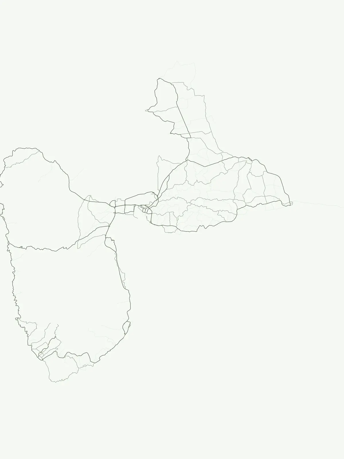
Mapped Geography and Conservation Significance of Guadeloupe's Flagship Protected Areas
Explore what the National park designation represents within Guadeloupe's protected area system, encompassing vital tropical rainforests, volcanic landscapes, and marine ecosystems across the French Caribbean islands. This designation highlights nationally significant conservation efforts, allowing users to understand the geographic spread and importance of these flagship protected territories in the Lesser Antilles.
Discover Guadeloupe's designated National park, a vital protected area encompassing tropical rainforests, volcanic terrains, and important marine reserves. This filtered country view provides essential geographic context for understanding the island's unique conservation landscapes and their regional significance.
Explore mapped boundaries and regional geography.
Guadeloupe National Park, in Guadeloupe. Landscapes: mountains, forests, and wetlands.
Open the park list for Guadeloupe to explore locations and park characteristics.