
Tracing geographic formations across national parks and designated wilderness areas
Comprehensive Atlas of Natural Features and Protected Landscapes Throughout Israel
Discover a structured collection of natural features documented within Israel. This resource organizes landscape formations associated with protected lands and national parks, facilitating a deeper understanding of regional geography. Use this mapping to compare different natural terrain types and examine how protected area boundaries correlate with the distinct physical characteristics of the Levant.
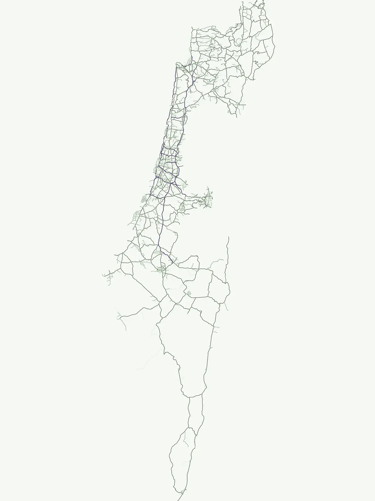
Seven named entities associated with Ein Gedi and Mount Carmel
Browse Israel’s cave-entrance and stream feature collection
Hydrological features within national park landscapes
Streams
Access a detailed geographic record of named streams located in Israel protected lands. This collection highlights the diverse flow regimes, channel types, and topographical relationships that define these natural watercourses, offering a clear view of their role within the regional park landscape.
Mapped surface apertures and geological terrain features
Cave entrances
Discover documented cave entrance sites identified across diverse protected areas in Israel. These mapped features represent natural surface openings and exterior voids associated with the country's varied geology, providing a structured reference for examining the physical landscape and connectivity within specific park zones.
Continue Exploring Israel's Protected Landscape Geography and Park Distribution
Expand your geographic understanding by continuing to explore the mapped boundaries and regional context of Israel's protected natural areas. This atlas interface facilitates detailed country-level park discovery, allowing you to trace the distribution of conservation lands and uncover the natural terrain they encompass.