Protected areaMarshall IslandsMarine

Majuro
Regional atoll atlas and protected lagoon geography.
Majuro Atoll, in Marshall Islands. Landscapes: coasts, beaches, and islands.
9.7 km²TropicalModerate accessWater-dominated

Browse the geographic distribution and natural boundaries of island atoll ecosystems
Browse profiles of parks and protected areas in Marshall Islands, including Majuro and Kwajalein.
Related tags
Complete inventory of coral atolls, marine sanctuaries, and regional conservation landscapes across the Ralik and Ratak chains.
Browsing the comprehensive Marshall Islands protected area index reveals remote coral atolls, lagoon ecosystems, and marine reserves spanning the Pacific Ocean. Examining the full country park directory provides essential geographic context for remote island environments and oceanic habitats.
Showing 1 to 13 of 13 parks
Regional atoll atlas and protected lagoon geography.
Majuro Atoll, in Marshall Islands. Landscapes: coasts, beaches, and islands.
Pacific coral atoll structure and lagoon geography
Kwajalein Atoll represents a mature coral formation encompassing an immense lagoon within the Ralik Chain. The landscape consists of low-lying islets and interconnected reef structures that define the maritime geography of the Marshall Islands. This assessment provides a focus on the structural, mapped, and physical attributes that distinguish this protected site within the wider Pacific regional context.
Coastal reef and lagoon geography of the Ralik Chain
Jaluit Atoll constitutes a sprawling nature reserve in the Marshall Islands, characterized by its kite shaped lagoon and 91 low lying coral islets. As a recognized Ramsar wetland site, this protected area offers a deep look into Pacific atoll structure and the interplay between marine conservation and historical heritage. The atoll remains a central geographic feature of the Ralik Chain.
A remote Ramsar-recognized coral atoll and marine wetland.
Namdrik Atoll is a distinctive coral atoll within the Ralik Chain of the Marshall Islands, recognized for its exceptional mangrove forests and protected marine ecosystems. This area consists of two wooded islands enclosing a large lagoon without navigable passes, creating an isolated habitat for sea turtles and diverse reef life. Explore the geography of this small, ecologically significant protected land that represents the unique environmental character of the central Pacific.
Coral atoll terrain in the Pacific Ralik Chain
Located in the Ralik Chain of the Marshall Islands, Rongelap Atoll consists of 61 low-lying coral motus that enclose a lagoon covering 2,600 square kilometers. The atoll serves as a significant geographic study area, known for its distinct reef-built structure and its enduring role in Pacific history. This protected area continues to represent the ecological and cultural complexity of the Micronesian archipelago.
A remote coral atoll with a rare perched lagoon and pristine reef ecosystem
Bokak Atoll represents a primary example of an undisturbed central Pacific coral atoll, defined by its lack of introduced species and its striking perched lagoon. The landscape consists of low coral islets along a crescent reef, creating a specialized habitat for seabird colonies and stony coral reefs. This geographic overview examines the atoll's isolation and its status as a critical protected natural area within the wider Marshall Islands territory.
A pristine, uninhabited coral sanctuary and critical Pacific marine habitat.
Bikar Atoll is a remote, diamond-shaped coral ring located in the Ratak Chain of the Marshall Islands. Defined by its shallow lagoon, continuous reef structure, and arid islets, the atoll serves as a vital nesting site for seabirds and green turtles. This protected area remains one of the most ecologically undisturbed sites in the Pacific, offering rare insight into natural atoll morphology and island conservation.
Pacific atoll terrain, lagoon systems, and island geography
Study the geographic composition of Ailuk Atoll, featuring its classic ring of coral islets, deep-water reef passes, and vast central lagoon. This protected area offers insight into the subsidence-driven formation of Marshallese island chains and the enduring human reliance on traditional maritime navigation within a fragile Pacific ecosystem.
Mapped geography and hydrological landscape context
Arno Atoll stands out as a unique geographic entity in the Ratak Chain with its triple lagoon configuration. Spanning 133 islands in the North Pacific, this protected area offers insight into atoll reef systems, low lying coral landscapes, and the environmental framework of the Marshall Islands.
Mapped coral atoll terrain in the Ratak Chain
Mili Atoll represents a complex protected landscape in the central Pacific, defined by its massive lagoon and distributed ring of 92 islets. Gain a deeper understanding of its physical geography, including tidal reef flats, low-lying coral formations, and the enduring historical artifacts that shape the contemporary environment of this significant Marshall Islands site.
Remote coral atoll landscape in the Marshall Islands
Uncover the geographic structure of Ailinginae Atoll, an uninhabited coral ring in the Marshall Islands characterized by its expansive internal lagoon and narrow island segments. This protected area offers significant insight into the terrain of low-lying Pacific atoll ecosystems and their role within the Ralik Chain geographic framework.
Remote coral atoll geography and lagoon structures in the Ralik Chain.
Rongerik Atoll presents a textbook example of Pacific atoll geography, where a cluster of small islets encloses an expansive lagoon. As a protected area located in the remote Marshall Islands, this site serves as a vital point of study for understanding coral reef systems and the isolated island terrain of the Ralik Chain. The landscape provides clear insights into the physical contrast between narrow coral landmasses and the deep interior waters characteristic of the region.
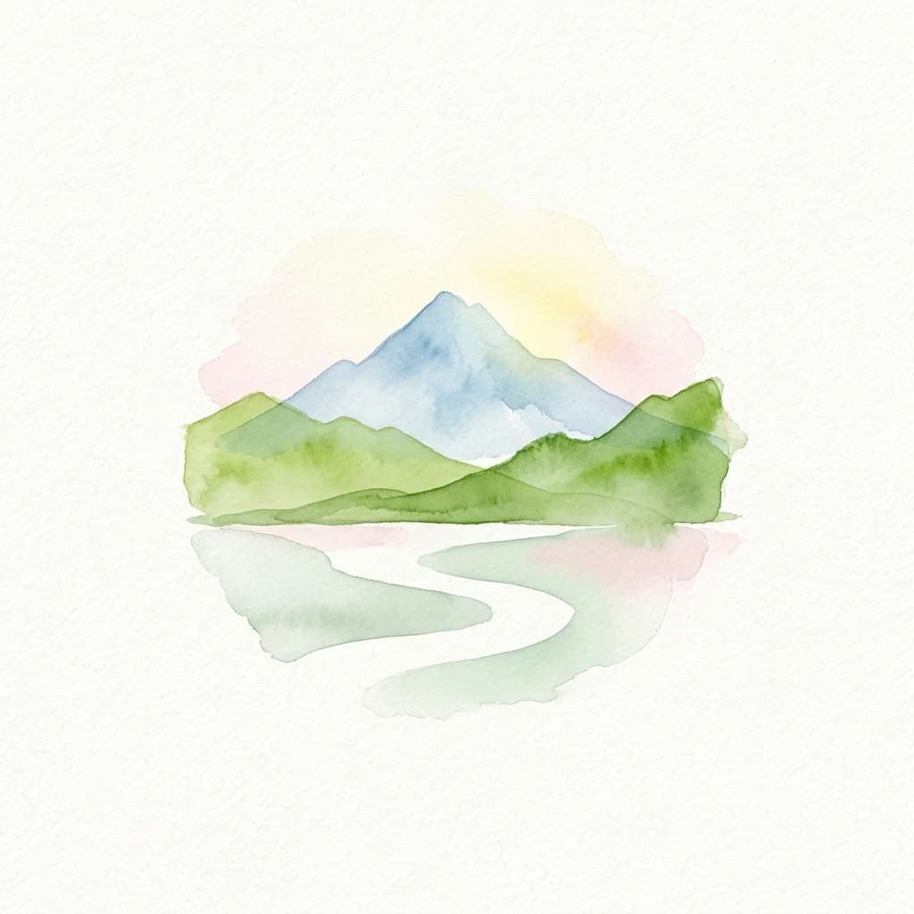
Coral atoll geography and historical colonial landscape features
Likiep Atoll consists of 65 islands encircling a 424 square kilometer lagoon. As a protected area in the Marshall Islands, it offers insight into low lying atoll topography, unique marine environments, and the cultural remnants of successive colonial administrations.
Compare pacific island territories and marine reserves across regional boundaries
Parks and protected areas in Philippines, including Underground River and Panglao Seascape.

Parks and protected areas in Japan, including Fuji-Hakone-Izu and Shiretoko.
Parks and protected areas in Papua New Guinea, including Wilhelm and Lake Kutubu.
Parks and protected areas in Jordan, including Mujib and Dana Reserve.

Parks and protected areas in Federated States of Micronesia, including Kuop Atoll and Utwe-Walung.
Parks and protected areas in Samoa, including O Le Pupu-Puʿe National Park and Lanoto'o.
Parks and protected areas in American Samoa, including NMSA.

Parks and protected areas in Tonga, including ʻEua.
Protected area types
MoriAtlas provides a structured path to browse protected areas in the Marshall Islands by their formal designation groups. Review how nature reserves and other protected classifications define the geography of these Pacific atolls. Start identifying specific areas by category to understand the broader conservation landscape of the republic.
Narrow your search for parks in Marshall Islands by environmental characteristics.