Mori Atlas logo
Protection category

Mapping extensive conservation areas where ecological integrity meets sustainable resource management traditions.

Protected Area with Sustainable Use of Natural Resources Landscapes across Panama Geography

Panama integrates large-scale natural conservation with compatible, low-level resource use through designated Protected Area with Sustainable Use of Natural Resources sites. These regions maintain significant ecological processes and biodiversity while supporting traditional stewardship. Explore the geographic distribution and specific management characteristics of these protected landscapes as they function within the diverse ecosystems of Panama.

Protected Area with Sustainable Use of Natural Resources Landscapes across Panama Geography
Parks in this category

Explore sustainable conservation zones and managed forest reserves across Panama

Panama Protected Area with Sustainable Use of Natural Resources Parks

Browse regional protected areas in Panama governed by sustainable resource management frameworks. Analyze conservation boundaries and mountain forest ecosystems within the national park network.
Wildlife reserveChiriquí ProvinceMountain

Fortuna Forest Reserve

A critical wildlife reserve and biodiversity center in the Panamanian highlands

Situated in the rugged mountains of western Panama, Fortuna Forest Reserve offers an expansive view of high-elevation cloud forests and steep watersheds. This wildlife reserve is defined by its extreme endemic species concentration and specialized volcanic soils, serving as a primary research site for tropical mountain ecosystem studies. Its boundaries integrate dense forest cover with operational hydroelectric energy systems within the broader Chiriqui Province landscape.

206.54 km²1976TropicalAccess unknown
Country pattern

Explore Panama protected areas and mountain rainforest reserves mapped across regional conservation zones.

Protected Area with Sustainable Use of Natural Resources in Panama

Panama protected areas balance long term ecosystem conservation with compatible, low level resource stewardship across tropical highlands and cloud forest reserves. Regional park geography demonstrates how sustainable natural resource management supports biodiversity while maintaining intact natural habitats.

Matching parks

1

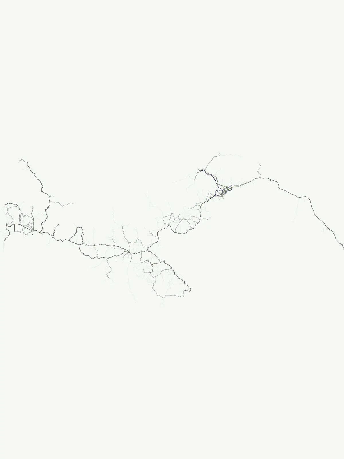
These parks and protected areas currently define how Protected Area with Sustainable Use of Natural Resources appears across Panama.

Category focus

A generally large protected area that conserves ecosystems and cultural values while allowing compatible, low-level, non-industrial use of natural resources as part of its management approach.

Representative parks

Fortuna Forest Reserve
Management profile

Conservation with sustainable use

Protected Area with Sustainable Use of Natural Resources

IUCN Category VI is used for protected areas where conservation remains primary, but where the sustainable use of natural resources is recognized as a legitimate and integrated part of management. These are usually large areas that remain mainly in a natural condition and that conserve ecosystems, associated cultural values, and traditional resource-management systems. The category is especially important in places where conservation is best achieved not by excluding all use, but by supporting forms of use that are low-level, non-industrial, ecologically compatible, and embedded in long-term stewardship.

Definition

A Protected Area with Sustainable Use of Natural Resources is a protected area that conserves ecosystems and habitats together with associated cultural values and traditional natural resource management systems. Such areas are generally large, mainly in a natural condition, with a proportion under sustainable natural resource management, and where low-level non-industrial natural resource use compatible with nature conservation is seen as one of the main aims. Under IUCN guidance, the primary management objective should apply to at least three quarters of the protected area, often referred to as the 75 per cent rule.

Key characteristics

Category VI areas are usually extensive and ecologically substantial, often including forests, marine areas, drylands, wetlands, savannas, river basins, or mixed landscapes where ecosystems remain broadly intact. They are not open-ended multi-use areas and are not meant to legitimize intensive industrial extraction under a conservation label. Their defining feature is that conservation and sustainable use are deliberately linked, usually through practices that are small-scale, traditional, community-based, or otherwise demonstrably compatible with maintaining biodiversity and ecosystem function over the long term. These areas often carry strong social and cultural dimensions, especially where local communities or indigenous peoples have long histories of stewardship tied to natural resource use.

Management focus

Management in Category VI requires balancing conservation outcomes with clearly bounded and ecologically compatible use. This often means zoning, harvest rules, customary governance, community agreements, species and habitat monitoring, restoration where needed, and limits on activities that would exceed ecological thresholds. Managers may support traditional livelihoods, non-timber forest product collection, small-scale fisheries, extensive pastoralism, or other locally adapted uses where these do not undermine the area's conservation purpose. The category demands active judgment and governance rather than simple permissiveness: sustainable use must remain subordinate to the area's primary conservation objective, and industrial-scale or ecologically damaging exploitation is inconsistent with the category.

Protection purpose

The purpose of Category VI is to conserve large natural areas and their biodiversity while recognizing that carefully governed, low-level, sustainable resource use can in some places contribute to long-term conservation, local stewardship, and social legitimacy.

Management objective

Typical objectives include maintaining ecosystems in a largely natural condition, conserving biodiversity and ecological processes at scale, supporting traditional and compatible natural resource management systems, preventing industrial or ecologically destructive uses, strengthening community and indigenous stewardship where appropriate, aligning livelihoods with conservation goals, applying zoning and monitoring to keep use within ecological limits, and ensuring that the protected area's primary function remains long-term nature conservation.

Global context

Wider background behind Protected Area with Sustainable Use of Natural Resources

This reference block covers the broader history and global examples that define Protected Area with Sustainable Use of Natural Resources as an IUCN management category, rather than the country-specific park pattern shown elsewhere on the page.

Category history

Category VI reflects an important evolution in international conservation thinking. Earlier protected-area models often emphasized strict exclusion or visitor-oriented preservation, but many countries and communities argued for recognition of conservation systems in which biodiversity protection and sustainable use had long coexisted. The IUCN category system responded by creating a category that could accommodate large conservation areas managed for nature first, but with compatible and bounded use of natural resources as part of that conservation approach. This was especially significant in regions where community management, customary use, or extensive traditional economies played a major role in maintaining ecosystems. The category continues to be important in debates about equity, livelihoods, indigenous rights, and the governance of large conservation landscapes and seascapes.

Global examples

Examples commonly associated with Category VI include large forest reserves with community-based resource management, extensive marine or coastal conservation areas allowing regulated small-scale use, protected areas supporting traditional extraction of non-timber products, and landscapes where conservation is combined with long-established, low-intensity resource practices. Exact designations vary across national systems, but the category is generally applied to protected areas that remain mainly natural while allowing carefully governed use that is compatible with biodiversity conservation and long-term ecological integrity.

More categories

Compare conservation mandates and national park categories across Panama

Other IUCN Categories in Panama and Protected Area Classifications

Evaluating other IUCN categories in Panama reveals how protected areas balance sustainable resource management with strict national park preservation mandates. Comparing these conservation classifications provides complete visibility into the regional park network and regional environmental governance.

IUCN category ii

National Park

A large natural or near-natural protected area managed to safeguard ecological processes, characteristic species, and ecosystems while also supporting education, recreation, and compatible visitor use.

Example parks

Darién National Park, Coiba National Park, Chagres National Park, Isla Bastimentos National Marine Park, Soberanía National Park, Gulf of Chiriquí National Marine Park, Altos de Campana National Park, Metropolitan Natural Park, Cerro Hoya National Park, Sarigua National Park

Uncover geographic insights and the distribution of protected areas across Panama's diverse Central American landscapes.

Frequently Asked Questions About National Parks and Protected Areas in Panama

Browse comprehensive answers to frequently asked questions concerning Panama's national parks and designated protected areas. These insights provide essential context for understanding the unique geographic distribution of conservation landscapes and their role within the country's Central American environment.
MoriAtlas Explorer

Continue Exploring Panama's Park Geography and Protected Landscapes

Deepen your understanding of Panama's natural heritage by continuing your exploration of its national parks and protected areas. This country-level atlas provides the foundational geographic context for discovering individual protected sites, their mapped boundaries, and their role within the wider regional landscape. Understand the full scope of Panama's mapped conservation efforts.
