Mori Atlas logo
Park earthquake history

A historical dataset of epicentre locations, event dates, and recorded magnitude levels

Recorded Earthquake History and Seismic Activity Records for Banff National Park

This collection provides a searchable catalogue of seismic events historically associated by proximity to the geography of Banff National Park. Each record includes event timing, magnitude, depth, and epicentre distance relative to park boundaries based on standardized geological data. Users can review documented historical seismic activity to understand the frequency and distribution of past events in this mountainous region of the Canadian Rockies.

A digital illustration showing a calm, winding lake in the foreground, framed by tall evergreen trees on both sides, with a dramatic, jagged, snow-capped mountain range in the background under a soft sunrise sky.

Canada's first national park, a UNESCO World Heritage Site protecting iconic Rocky Mountain landscapes, glaciers, and diverse ecosystems

Banff National Park

Banff National Park is Canada's first national park, established in 1885 as the Banff Hot Springs Reserve and later expanded through the Rocky Mountains Park Act of 1887. Located in Alberta's Rocky Mountains approximately 110-180 kilometres west of Calgary, the park encompasses 6,641 square kilometres of mountainous terrain featuring glaciers, ice fields, dense coniferous forests, and alpine landscapes. The park is part of the larger Canadian Rocky Mountain Parks World Heritage Site, recognized by UNESCO in 1984 for outstanding natural universal values including mountain peaks, glaciers, lakes, waterfalls, canyons, and fossil beds. The main commercial centre is the town of Banff in the Bow River valley, while the village of Lake Louise serves as another key access point. The park shares boundaries with Yoho National Park to the west, Kootenay National Park to the south, and Jasper National Park to the north, creating a contiguous protected corridor through the Canadian Rockies.

Location
Canada
Park type
National park
Established
1885
Area
6,641 km²
Highest point
3,612 m
Banff National Park Geography and Atlas

Analyze historic epicentre locations, seismic depths, and relative distance from the park boundary.

Search Recorded Seismic Events and Earthquakes Near Banff National Park

Browse a comprehensive database of recorded geological events positioned near the boundary of Banff National Park based on spatial epicentre coordinates. Each historical record details the exact date of occurrence, magnitude, focal depth, reported regional location, calculated park distance, and official agency source links.

Sort by
Magnitude
Location

This page describes catalogued earthquakes associated with the park by epicentre location and distance. It does not establish causation, assess current danger, or predict future earthquakes.

No earthquake records match the current filters

Park atlas

Transition from Banff to browse additional national parks and nature reserves

Discover More Protected Natural Areas Beyond Banff National Park

After examining local geographic details for Banff National Park, researchers can expand their search to other significant protected landscapes. Regional directory profiles highlight various ecological zones, conservation statuses, and mapped coordinates to assist with broader global exploration.
An artistic flat-design illustration of a mountain valley with a river, coniferous trees in the foreground, and soft pink and pastel tones in the sky and clouds.
National parkAlberta
Park boundaries overlap#1 closest

Northwest

Jasper National Park

Explore Alberta's regional park context and natural terrain.

Jasper National Park, in Alberta, Canada. Landscapes: mountains, valleys, and glaciers.

Area
10,878 km²
Established
1907
IUCN
II
Visitors
2.4M annual
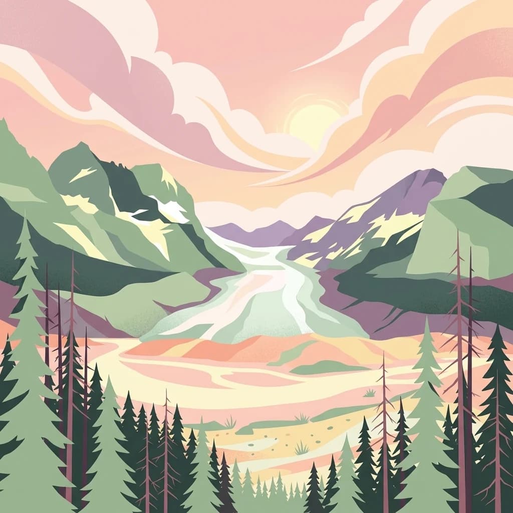
A stylized illustration of a mountain valley with steep cliffs on the left, a pine forest, and a river flowing toward the viewer under a soft sunrise sky.
National parkBritish Columbia
Park boundaries overlap#2 closest

South

Kootenay National Park

Explore Kootenay National Park's mapped terrain and regional geography.

Kootenay National Park, in British Columbia, Canada. Landscapes: mountains, valleys, and cliffs.

Area
1,406 km²
Established
1920
IUCN
II
Visitors
574.1K annual
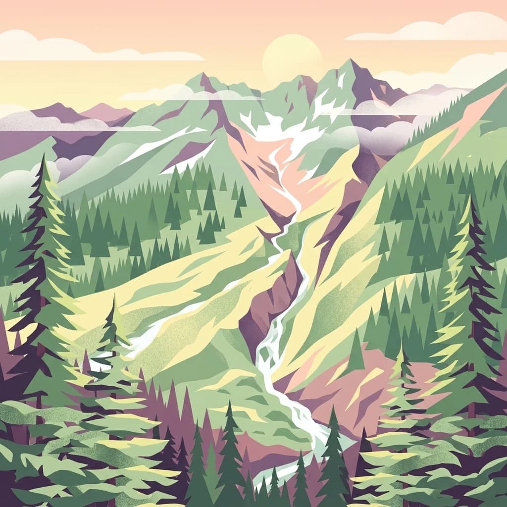
A stylized flat-design illustration of a mountainous landscape featuring a waterfall cascading from a cliff into a rocky stream, framed by evergreen trees.
National parkBritish Columbia
Park boundaries overlap#3 closest

West

Yoho National Park: Mapped Protected Area in British Columbia's Geography

Exploring the park's protected boundaries and terrain.

Yoho National Park is presented here as a distinct national park within British Columbia's vast geographic framework. This page provides a structured view of its protected land status, allowing for detailed exploration of its mapped boundaries and surrounding natural landscapes. Understand Yoho National Park's place in the Canadian atlas through its specific geographic features and protected area context.

Area
1,313 km²
Established
1886
IUCN
II
Visitors
663.9K annual
An artistic, flat-design illustration of a mountainous valley featuring green slopes, a central stream, coniferous trees in the foreground, and snow-capped mountain peaks in the background under a pale sky.
National parkColumbia-Shuswap Regional District
44 km away#4 closest

West

Glacier National Park: A National Park within Canada's Protected Landscape Atlas

Explore its mapped boundaries and regional geography.

Glacier National Park represents a significant protected area entity within the broader Canadian geography. This page offers an atlas-oriented perspective on its identity as a national park, focusing on its mapped geographic spread and role as a conservation landscape. Users can explore the park's place within the Columbia-Shuswap Regional District and understand its distinct contribution to the national protected area framework.

Area
1,349 km²
Established
1886
IUCN
II
Visitors
4M annual
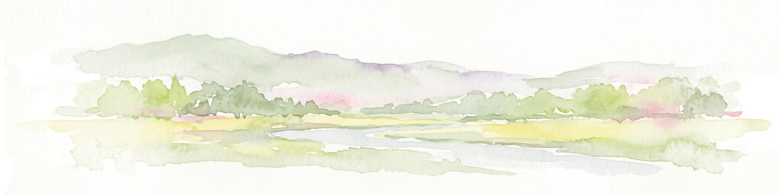
A soft watercolor illustration of a low lying river valley with trees and distant hills against a white background.
Wildlife reserveAlberta
About 85 km away#5 closest

East

Inglewood Migratory Bird Sanctuary: Federal Wildlife Reserve and Riparian Corridor Map

Protected riparian ecosystems along the Bow River in Alberta.

Analyze the geography of the Inglewood Migratory Bird Sanctuary, a federal wildlife reserve in Calgary, Alberta. This site preserves rare cottonwood floodplain forest and river habitats that serve as a critical stopover for migratory birds, offering a unique look at how protected landscapes persist within urban environments.

Area
1.11 km²
Established
1929
Relief
Lowland
Scope
Terrestrial
A stylized digital illustration of a mountainous landscape with a river winding through a valley, framed by evergreen trees in the foreground under a cloudy sky.
National parkBritish Columbia
91 km away#6 closest

West

Mount Revelstoke National Park

British Columbia's National Park Atlas Entry

Mount Revelstoke National Park, in British Columbia, Canada. Landscapes: mountains and forests.

Area
260 km²
Established
1914
IUCN
II
Visitors
775.2K annual
A stylized digital illustration of a multi-tiered waterfall flowing over rocky terrain through a lush evergreen forest.
State or regional parkBritish Columbia
About 128 km away#7 closest

Northwest

Pyramid Creek Falls Provincial Park: Mapped Geography and Protected Natural Landscape

Glacial cascades and North Thompson River valley terrain

This protected area centers on a vertical, two-stage waterfall spilling from a hanging valley high above the North Thompson River. Characterized by its glacier-fed creek and steep forested slopes, the park functions as a key geological landmark within the rugged, mountainous interior of British Columbia.

Wildlife reserveAlberta
141 km away#8 closest

Northeast

Red Deer Migratory Bird Sanctuary: Geographic Overview and Protected Wetland Map

Aspen Parkland terrain in central Alberta, Canada

The Red Deer Migratory Bird Sanctuary preserves a key wetland corridor defined by the Gaetz Lakes oxbows. This protected reserve offers a look at the native Aspen Parkland ecoregion, blending shrubland and forest patches that provide essential sanctuary for migratory waterfowl. The mapped area illustrates how this federal reserve maintains a natural landscape mosaic amidst the surrounding urban geography of central Alberta.

Area
1.3 km²
Established
1924
Water
Major water bodies
MoriAtlas Explorer

Banff National Park

Explore the map, landscapes, and protection details for Banff National Park.