Mori Atlas logo
Park earthquake history

A catalogue of documented seismic events mapped by epicentre distance to the Baumberge inland dunes

Historical Earthquake Records and Recorded Seismic Activity Associated with the Baumberge

This historical collection details seismic events recorded in the vicinity of the Baumberge, a protected inland dune landscape located in Berlin. Each record provides specific data on event magnitude, depth, and the calculated distance between the seismic epicentre and the boundary of the nature reserve. These data points allow for a geographic review of regional seismic patterns near this rare sand heath and dry grassland habitat.

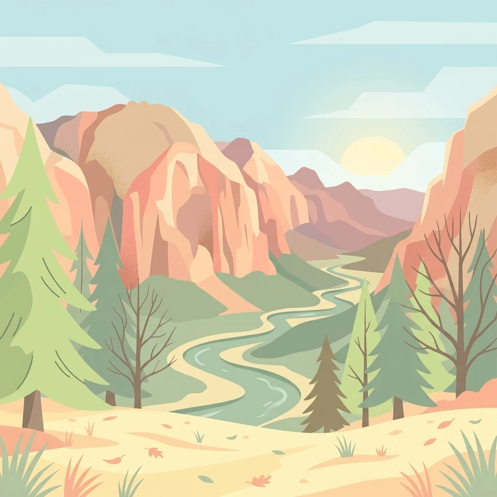
A flat-style vector illustration showing a winding river through a valley flanked by rocky cliffs and pine trees under a pale sky with a sun.

An open inland dune landscape and Natura 2000 refuge within Berlin's Tegeler Forst.

Baumberge

The Baumberge are a small inland dune landscape of roughly 47 hectares in the northern outskirts of Berlin, in the Heiligensee district of Reinickendorf. They lie within the Tegeler Forst landscape protection area and form one of only two surviving open inland dune sites in Berlin with intact dry grassland vegetation. Their combination of open sand, heath, and warm dry habitat on poor glacial sands gives them strong ecological value far beyond their modest size. The dunes were formed at the end of the last ice age, when westerly winds blew fine sands out of the Berlin glacial valley and piled them into parabolic dunes more than 30 meters above the surrounding plain. Unlike almost all other dunes in the region, the Baumberge were kept open by centuries of clearing, grazing, military use, and trampling rather than being reclaimed by beech and pine forest. This persistent openness is the reason their specialised flora and fauna have survived. Today the area is protected as a nature reserve under the European Fauna-Flora-Habitat Directive and forms part of the transboundary Natura 2000 network. Its conservation value rests on rare subcontinental blue-grass dry grasslands, inland sand heaths, and a community of warmth-loving invertebrates that is otherwise scarce across central Europe.

Location
Germany
Park type
Protected landscape
Area
0.5 km²
Highest point
62 m
Baumberge Protected Landscape Map

Inspect Baumberge earthquake dates, magnitudes, depths, places, and park distances

Search recorded earthquake history associated with Baumberge

Baumberge’s earthquake collection is assembled from reported epicentre coordinates and their calculated distance from the inland-dune reserve, rather than by assigning each event to its boundary. Searchable records retain timing, magnitude, depth, place wording, separation, and source access for geographic comparison without claiming damage, cause, current hazard, or future activity.

Sort by
Magnitude
Location

This page describes catalogued earthquakes associated with the park by epicentre location and distance. It does not establish causation, assess current danger, or predict future earthquakes.

No earthquake records match the current filters

Park atlas

Move from Baumberge earthquake history into broader protected-area discovery

Find further protected parks beyond the Baumberge records

A separate group of protected park pages creates new atlas routes after the earthquake catalogue associated with Baumberge. These destinations are not presented as sharing urban context, German geography, protection types, geological features, earthquake records, proximity, seismic conditions, hazard, or risk.
Nature reserveBerlin
7.8 km away#1 closest

South

Fließwiese Ruhleben: A Glacial Nature Reserve and Wetland Mosaic in Berlin

Mapping a unique urban protected area and its peat marsh topography

Fließwiese Ruhleben is a protected nature reserve in western Berlin that preserves a distinct relic of Weichselian glaciation. The site features a narrow, basin-like depression carved by glacial meltwater, supporting a rich diversity of peat-forming marshland and alder swamp forests. This protected area remains a vital node for regional biodiversity, contrasting sharply with the surrounding urban landscape of the Teltow plateau.

Area
0.118 km²
Established
1959
Relief
Lowland
Climate
Temperate
Watercolor painting of bare trees in a misty, marshy landscape with soft pastel colors.
Nature reserveBrandenburg
About 8.1 km away#2 closest

Northeast

Kindelsee-Springluch Nature Reserve: A Detailed Geographic Atlas of Brandenburg Wetlands

Restored post-glacial lake and wetland landscape in East Brandenburg

Located in the state of Brandenburg, Kindelsee-Springluch represents a refined example of a protected wetland mosaic. The reserve encompasses the Kindelsee lake, sediment-filled meltwater channels, and diverse swamp forests. This site provides a critical window into regional post-glacial geography, featuring a well-defined sequence of mire, sedge meadows, and mixed oak woodlands that have undergone extensive ecological restoration.

Area
0.69 km²
Established
2001
IUCN
IV
Protected landscapeBerlin
About 9 km away#3 closest

South

Tiefwerder-Wiesen Protected Landscape: Berlin Riverine Geography and Floodplain Map

Mapping the historic Havel river floodplains and wetland habitats.

Tiefwerder-Wiesen serves as an important ecological corridor in Berlin, safeguarding the last functional pike spawning grounds within the city. This protected landscape contains a dense network of river arms, ditches, and sedge meadows that illustrate the historical and ongoing geomorphological processes of the Havel river valley.

Area
0.667 km²
Established
1960
Relief
Lowland
Climate
Temperate
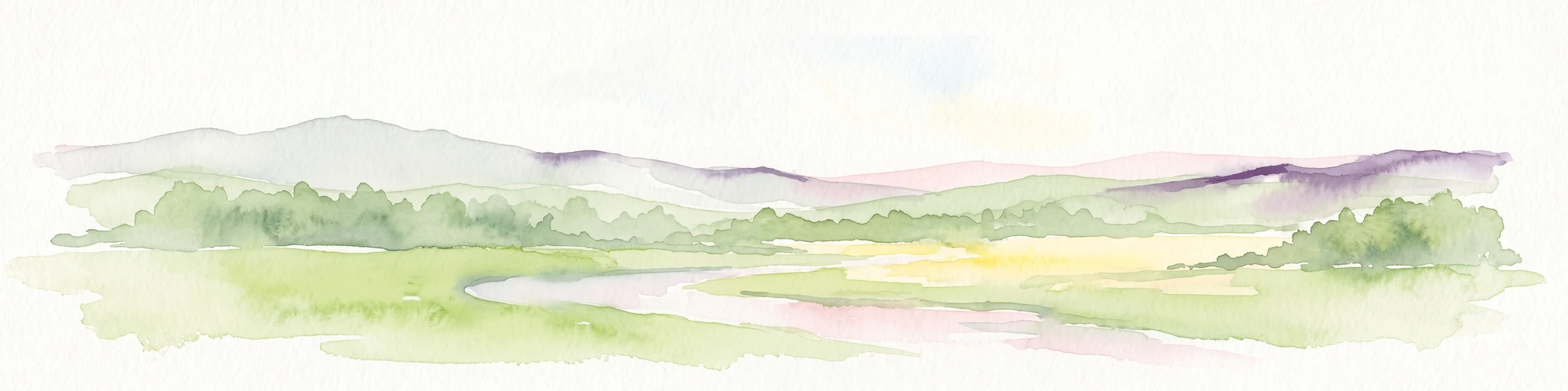
A soft watercolor painting showing rolling green hills, patches of open land, and trees against a pale sky background.
Nature reserveHavelland
12 km away#4 closest

Southwest

Döberitzer Heide Nature Reserve: Geographic Atlas and Protected Landscape Mapping

Glacial sand flats and heathlands in the Havelland region

Döberitzer Heide occupies a unique position on the southeastern Nauener Platte, providing a study of dry heath, grassland, and wetland habitats. Once a restricted military training ground, the area now functions as a vital protected landscape where European bison and wild horses maintain open terrains. This atlas entry focuses on the regional geography and the structural components of this nature reserve situated near the urban centers of Berlin and Potsdam.

Area
34.15 km²
Established
1997
Relief
Upland
Climate
Temperate
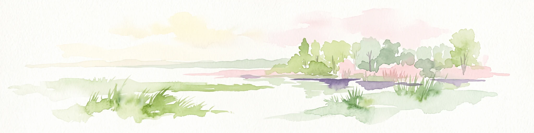
Watercolor illustration of a serene wetland scene with soft green hills and a light pink sky.
Nature reserveBerlin
About 12 km away#5 closest

South

Sandgrube im Jagen 86 Nature Reserve: Mapped Geography and Protected Area Context

A unique habitat mosaic within the Berlin forest region

Sandgrube im Jagen 86 functions as a protected nature reserve in Berlin, characterized by a bowl-shaped terrain of glacial sands. The area provides a critical habitat for specialized wildlife by balancing nutrient-poor grasslands with open water bodies and sun-exposed slopes, illustrating an effective example of managed conservation within an urban forest.

Area
0.135 km²
Established
1992
IUCN
IV
Relief
Lowland
A soft watercolor painting featuring green grasses in the foreground, calm water, and a tree line along the horizon.
Nature reserveBrandenburg
About 13 km away#6 closest

Northeast

Schönerlinder Teiche Nature Reserve in Brandenburg: Protected Landscape and Geographic Atlas

Explore the wetland mosaic, bird-rich ponds, and grazing conservation areas

Schönerlinder Teiche offers a rare look at post-agricultural land transformation, featuring ponds, meadows, and reed habitats in the Brandenburg region. This nature reserve serves as an essential bird sanctuary and educational site, with water buffalo and Konik horses contributing to ongoing habitat maintenance. View the detailed geography of this protected area and its role within the wider Barnim Nature Park network.

Area
0.408 km²
Established
1997
IUCN
IV
Relief
Lowland
Nature reserveBerlin
About 13 km away#7 closest

South

Windmühlenberg Nature Reserve: Glacial Terrain and Steppe Flora in Berlin

Protected sand-dry grasslands on the Nauen Plateau edge

Windmühlenberg preserves a rare ecological landscape in western Berlin. This glacial hill and nature reserve functions as a protected habitat for steppe-relict flora and specialized insects, serving as a critical point of interest for understanding the geomorphology and sand-based grassland environments of the Havel river valley.

Area
0.051 km²
Established
2002
Relief
Upland
Climate
Temperate
A watercolor painting showing a soft green marshy landscape with low hills in the background and a winding stream in the foreground.
Nature reserveBerlin
About 13 km away#8 closest

South

Hundekehlefenn Nature Reserve: Geography and Protected Wetland Landscapes in Berlin

Glacial meltwater channel and moorland in Grunewald

Hundekehlefenn represents one of the last surviving pieces of original Berlin vegetation, preserved as a nature reserve within the city limits. This compact protected area showcases a glacial meltwater channel geography, featuring marshy depressions, mesotrophic bog remnants, and alder swamp forests. It serves as an essential ecological link within the Grunewaldseenkette lake chain, providing a window into the natural terrain history of the region.

Area
0.1 km²
Established
1987
Relief
Lowland
Climate
Temperate
MoriAtlas Explorer

Explore the Geographic Boundaries and Protected Landscapes of the Baumberge

Navigate the specialized terrain and protected boundaries of the Baumberge using the MoriAtlas mapping suite. This deep-dive resource details the ecological context, glacial sand morphology, and conservation status of this significant Berlin nature reserve.

Global natural geography