Mori Atlas logo
Park earthquake history

Review recorded earthquake epicenters, magnitude measurements, and depth data for the region.

Historical Records of Seismic Activity Documented Near Big Bend National Park Landscapes

This historical catalogue provides a structured view of recorded seismic activity associated by location with the geographic extent of Big Bend National Park. The records offer insight into regional earthquake events by tracking specific event metrics including dates, depths, and epicenter distances. Use this database to examine documented seismic history and regional trends without extrapolating geological risk or future activity.

Related tags

Chihuahuan DesertChisos MountainsInternational Dark-Sky ParkRio GrandeBirdwatching

The wild heart of the Chihuahuan Desert, where mountains rise from the desert and the Rio Grande carves ancient canyons

Big Bend National Park

Big Bend National Park is a vast protected area in West Texas that preserves the largest and most ecologically significant expanse of Chihuahuan Desert topography in the United States. The park derives its name from the dramatic bend in the Rio Grande, which forms the international boundary between the United States and Mexico for approximately 118 miles within the park's boundaries. Encompassing over 800,000 acres of diverse terrain, the park offers an extraordinary range of ecosystems from scorching desert floors to cool mountain peaks, with elevations varying from around 1,800 feet along the river to 7,832 feet at Emory Peak in the Chisos Mountains. The Chisos Mountains represent a remarkable geological and ecological feature as the only mountain range in the United States entirely contained within a national park boundary, functioning as sky islands surrounded by desert and supporting isolated populations of plants and animals found nowhere else in the country. The park protects more than 1,200 plant species, over 450 bird species, 56 reptile species, and 75 mammal species, making it one of the most biodiverse protected areas in the American Southwest.

Location
United States of America
Park type
National park
Established
1944
Area
3,242.2 km²
Highest point
2,387 m
Big Bend National Park Atlas

Trace Big Bend National Park records by date, magnitude, depth, place, and distance

Review historical earthquake observations around Big Bend National Park

The Big Bend National Park record set links earthquakes through epicentres and park distance, without assigning every entry to the boundary. Dates, magnitudes, depths, location descriptions, distance figures, and source access preserve evidence for geographic and chronological comparison without claiming desert impacts, cause, present hazard, or future seismicity.

Sort by
Magnitude
Location

This page describes catalogued earthquakes associated with the park by epicentre location and distance. It does not establish causation, assess current danger, or predict future earthquakes.

No earthquake records match the current filters

Park atlas

Broaden atlas discovery beyond the Big Bend National Park earthquake catalogue

Explore further protected parks after Big Bend National Park

Beyond the records associated with Big Bend National Park, a distinct collection of protected destinations extends atlas exploration. The links do not establish shared desert or river landscapes, United States geography, protection status, earthquake data, geology, proximity, seismic relevance, hazards, or risk.
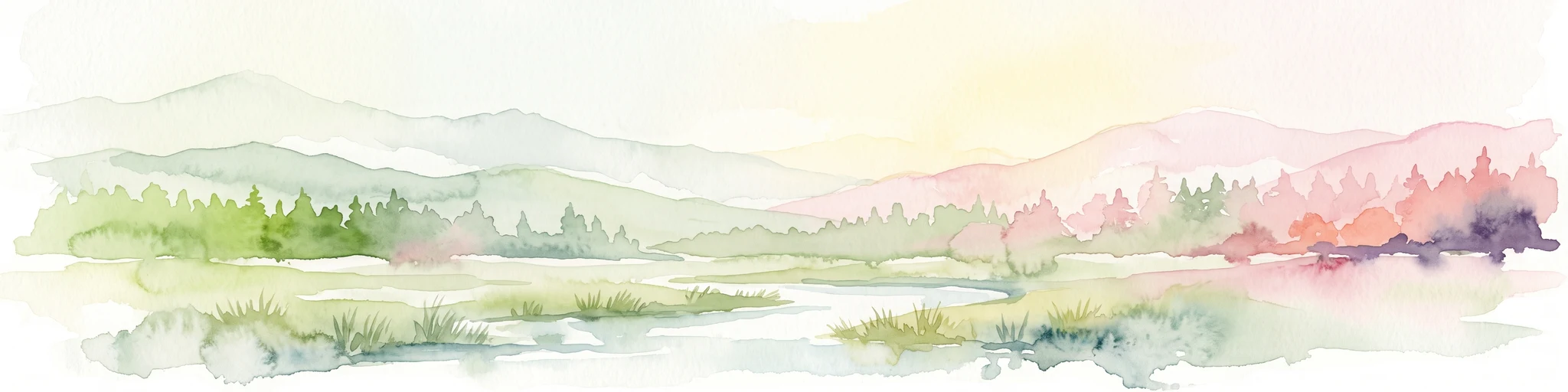
A horizontal watercolor illustration depicting soft, rolling hills, a small stream in the foreground, and pine forests, using a muted pastel palette.
Wildlife reserveChihuahua
About 15 km away#1 closest

West

Área de Protección de Flora y Fauna Cañón de Santa Elena Wildlife Reserve Map and Geography

Chihuahuan Desert conservation area in Chihuahua, Mexico

This wildlife reserve protects a vast expanse of the Chihuahuan Desert along the Mexico-United States border. The landscape is defined by deep river-cut canyons, volcanic uplifts, and broad valleys. Discover the geological structure and ecological boundaries of this protected area, which mirrors the conservation efforts of neighboring regions to maintain a vital desert ecosystem.

Area
2,772.09 km²
Established
1994
Relief
Mountain
Climate
Arid
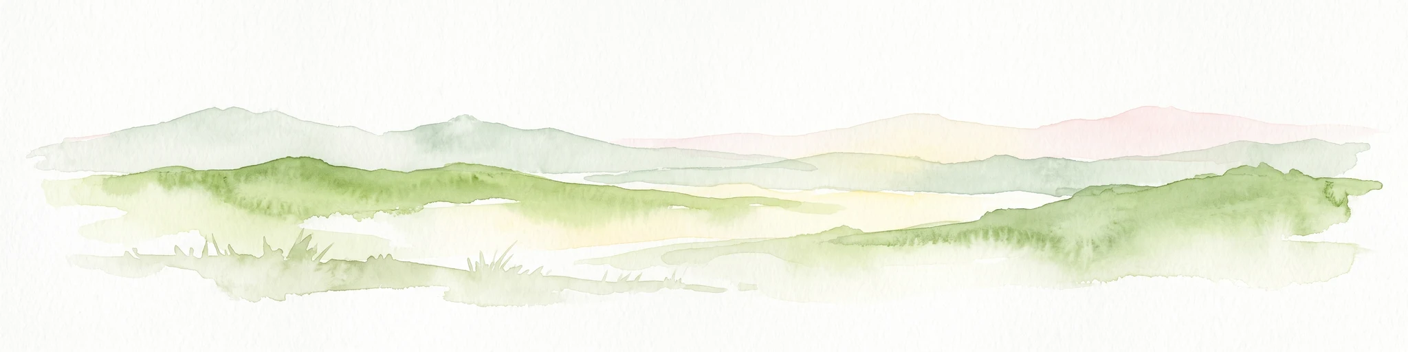
Watercolor painting of soft, layered green mountain silhouettes against a pale sky.
Wildlife reserveCoahuila
About 21 km away#2 closest

East

Área de protección de flora y fauna Maderas del Carmen: Protected Desert Mountain Geography

Rugged limestone ranges and conservation corridors in northern Coahuila

The Área de protección de flora y fauna Maderas del Carmen protects an expansive, high-elevation desert mountain landscape. Featuring the Sierra del Carmen and Sierra el Jardín, the reserve bridges arid desert basins with forested upland terrain, creating one of northern Mexico's most significant ecological corridors for scientific study and wilderness preservation.

Area
2,083.81 km²
Established
1994
Relief
Mountain
Climate
Arid
Wildlife reserveCoahuila
About 23 km away#3 closest

Southeast

Ocampo Flora and Fauna Protection Area: Mapping Desert and Riverine Geography in Coahuila

A vital transboundary wildlife reserve in northern Mexico

Ocampo Flora and Fauna Protection Area provides a massive, contiguous block of protected wilderness characterized by rugged mountain foothills and desert flats. As a cornerstone of the El Carmen Big Bend Complex, the reserve offers a unique look at how river-cut canyons and arid scrublands support diverse life forms in the northern Chihuahuan Desert of Coahuila.

Area
3,442.38 km²
Established
2009
IUCN
VI
Relief
Mixed relief
Protected landscapeTexas
About 174 km away#4 closest

East

Amistad National Recreation Area: Mapped Protected Landscapes in Texas

Desert reservoir geography and canyon ecosystems

Amistad National Recreation Area represents a distinct protected landscape located in Val Verde County, Texas. Centered on the expansive Amistad Reservoir at the United States-Mexico border, the area features rugged limestone canyons and extensive water-based terrain where the Rio Grande, Devils, and Pecos rivers meet. The site offers deep insight into desert canyon geography and historic rock art distributions.

Area
237 km²
Established
1965
Visitors
912.3K annual
Relief
Upland
Protected areaCoahuila
About 226 km away#5 closest

Southeast

Cuenca Alimentadora del Distrito Nacional de Riego 004 Don Martín Protected Area Geography

A vast watershed and mountain corridor in central Coahuila

This expansive protected area in northern Mexico functions as the primary catchment for the Don Martín irrigation district. The terrain ranges from dry shrubland and grasslands in the Coahuila interior to the rugged, forested heights of the Sierra Madre Oriental. It remains a key case study in river conservation and the complex interplay between arid ecosystems and mountainous watershed systems.

Area
15,193.8 km²
Established
1949
IUCN
VI
Relief
Mountain
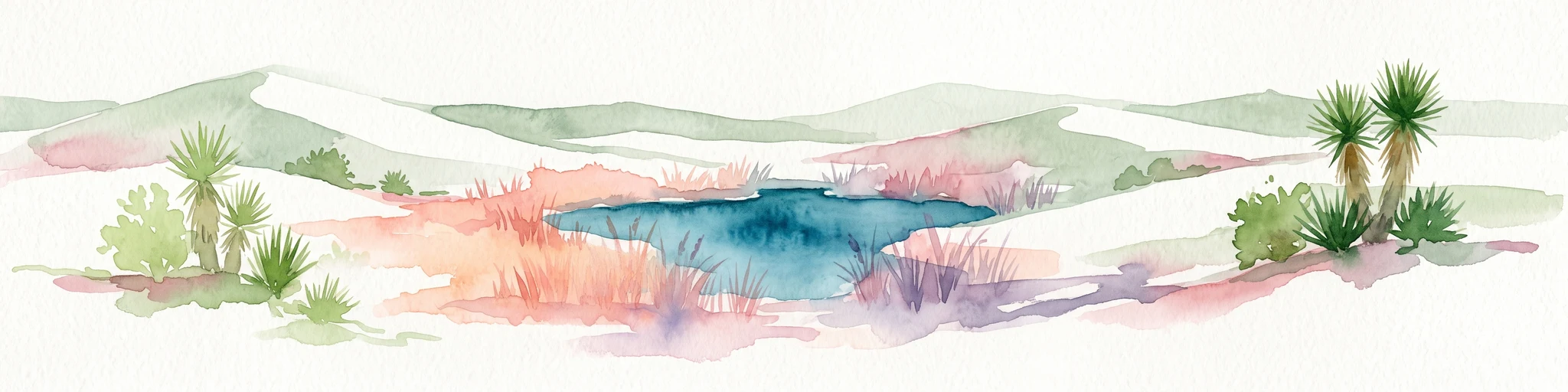
Watercolor painting of a desert landscape with white gypsum dunes, a central turquoise blue pool, and yucca plants.
Wildlife reserveCoahuila
About 251 km away#6 closest

Southeast

Área de Protección de Flora y Fauna Cuatrociénegas: Protected Landscape and Atlas Map

Desert wetlands and gypsum dune geography in Coahuila, Mexico

This wildlife reserve in Coahuila represents a globally significant desert wetland complex. Featuring hundreds of spring-fed pozas and the second-largest gypsum dune field in the Americas, the reserve offers a unique look at isolated ecosystems and specialized biodiversity within the Chihuahuan Desert.

Area
843.47 km²
Established
1994
Relief
Lowland
Climate
Arid
National parkChihuahua
About 267 km away#7 closest

West

Cumbres de Majalca National Park: National Park Discovery and Geographic Context in Chihuahua

Mapped protected landscape exploration in Chihuahua.

Delve into the protected landscape of Cumbres de Majalca National Park, a national park situated in the Chihuahua region of Mexico. This entry provides essential geographic context and details on its mapped boundaries, serving as a key point for atlas-based exploration of Mexico's protected areas. Understand its specific contribution to the regional geography and conservation landscape.

Area
47.72 km²
Established
1939
IUCN
II
Relief
Mountain
National parkCulberson County
277 km away#8 closest

Northwest

Guadalupe Mountains National Park: Mapped Boundaries and Protected Landscape Identity

Explore the geography and terrain of this Texas national park.

Guadalupe Mountains National Park is a key protected area within Culberson County, West Texas. This national park offers a distinct geographic focus, allowing for detailed exploration of its mapped boundaries and the unique natural landscapes that define its protected status. Understanding its place within the Trans-Pecos region provides valuable context for regional geography and atlas-based discovery of conservation lands in Texas.

Area
349.51 km²
Established
1972
IUCN
II
Visitors
206.4K annual
MoriAtlas Explorer

Continue Exploring Big Bend National Park's Geography and Protected Landscape

Deepen your understanding of Big Bend National Park by exploring its specific geographic features and protected landscape context. This detailed park entry serves as a critical point for comprehending its role within Brewster County's broader regional geography and natural terrain atlas. Further your discovery of this significant protected area and its mapped territory.

Global natural geography