
Mori Atlas logo
Nature reserveBollwinwiesen/Großer Gollinsee

A protected landscape featuring oligotrophic lake chains, peat-forming mires, and wet meadow ecosystems.

Bollwinwiesen/Großer Gollinsee Nature Reserve and Glacial Lake Mosaic in Brandenburg

(Naturschutzgebiet Bollwinwiesen/Großer Gollinsee)

The Bollwinwiesen/Großer Gollinsee nature reserve represents a significant protected area within the Schorfheide-Chorin Biosphere Reserve in northeastern Germany. This site preserves a dense mosaic of nutrient-poor, alkaline lake basins and raised bog communities shaped by historical glacial activity. The terrain integrates open wetland meadows with forested edges, providing a study in regional geography and essential habitat connectivity for the Uckermark district.

nature reserveBrandenburgUckermarkSchorfheide-Chorinbiosphere reserveoligotrophic lakes
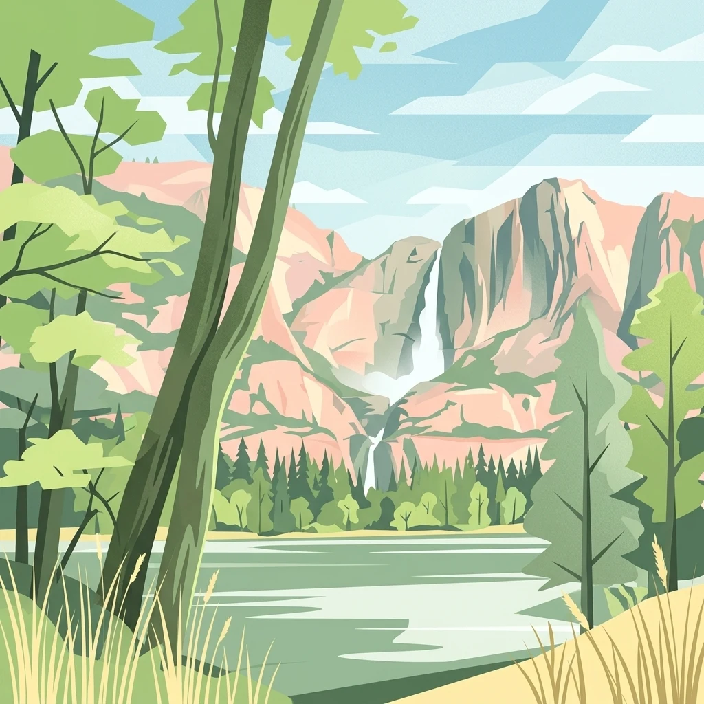
A graphic illustration showing a calm lake in the foreground, surrounded by a coniferous forest, with a prominent waterfall cascading down rugged mountain cliffs in the background.

Bollwinwiesen/Großer Gollinsee

Nature reserve

Park overview

Structured park overview, official facts, and landscape profile for Bollwinwiesen/Großer Gollinsee

Bollwinwiesen/Großer Gollinsee park facts, protected area profile, and essential visitor context

Review the core facts for Bollwinwiesen/Großer Gollinsee, including designation, size, terrain, visitor scale, habitats, and operating context in one park-focused overview.

About Bollwinwiesen/Großer Gollinsee

Bollwinwiesen/Großer Gollinsee is a compact but ecologically rich nature reserve at the heart of the Schorfheide-Chorin Biosphere Reserve in northeastern Brandenburg. The area lies just outside the village of Gollin, part of the town of Templin, and captures a typical slice of the Uckermark countryside: a patchwork of glacial lakes, peatland, wet meadows, and surrounding woodland that together define one of Brandenburg's most distinctive natural regions.

The reserve's identity is strongly shaped by water. Its centerpiece is the Großer Gollinsee, joined by the much smaller Kleiner Vätersee, and at the northwestern edge the larger Polsensee. These lakes belong to a chain of oligo-alkaline water bodies, marked by low nutrient levels and a chemistry influenced by calcareous glacial deposits. The combination of lake, mire, and meadow creates a habitat gradient that is unusual in density and quality within Brandenburg, supporting communities that depend on very specific hydrological and chemical conditions.

Surrounding the open water and mires lie the Bollwinwiesen themselves, traditionally managed wet grasslands that give the reserve its hyphenated name. These meadows, together with peat-forming Sphagnum bogs, transitional mires, and adjoining forest areas, constitute the broader ecological matrix of the protected site. The whole area is bounded and crossed by quiet country roads, with the L 216 running through the reserve and the L 100 and L 215 marking its eastern and southern edges.

As the first formally designated nature reserve (NSG Nr. 1) within the Schorfheide-Chorin Biosphere Reserve, Bollwinwiesen/Großer Gollinsee also carries historical weight. Its 1990 designation came at the moment of reunification, when a new conservation framework was being established across eastern Germany. Today it functions both as a standalone protection area and as an integral component of a larger UNESCO-recognized biosphere region that extends across much of the Uckermark and adjacent forest landscapes.

Quick facts and research context for Bollwinwiesen/Großer Gollinsee

Bollwinwiesen/Großer Gollinsee is a designated nature reserve (Naturschutzgebiet) in the Landkreis Uckermark of Brandenburg, identified in regional conservation records under the code 1057. It lies within the Biosphärenreservat Schorfheide-Chorin and was placed under formal protection on 1 October 1990, making it one of the earliest reserves established in the biosphere region.

The protected landscape extends west, north, and southwest of the village of Gollin, a district of the town of Templin, and is traversed by the regional road L 216, with the L 100 to the east and the L 215 to the south. Its core hydrological features are the Großer Gollinsee, the Kleiner Vätersee, and the adjacent Polsensee, set amid a larger complex of mires, meadows, and oligo-alkaline lakes.

Protection and recognition

Documented terrestrial boundaries, management scope, and Natura 2000 listings.

Bollwinwiesen/Großer Gollinsee Protection Status and Recognition Data

Bollwinwiesen/Großer Gollinsee holds documented terrestrial protection status supported by official Natura 2000 records. Structured datasets outline the recognized conservation scope and administrative designations associated with this protected landscape.

International recognition

Protection details

Protection scope
Terrestrial
Transboundary protection
No
WDPA ID
162490
Park context

Deeper park guide and search-rich context for Bollwinwiesen/Großer Gollinsee

Bollwinwiesen/Großer Gollinsee history, landscape, wildlife, and travel context

Explore Bollwinwiesen/Großer Gollinsee through its history, landscape character, ecosystems, wildlife, conservation priorities, cultural context, and seasonal travel timing in a structured park guide built for atlas discovery and search intent.

Why Bollwinwiesen/Großer Gollinsee stands out

The reserve is best known for its oligotrophic-alkaline lake chain and surrounding peat-moss mires, forming a characteristic habitat mosaic of clear lakes, wet meadows, and raised bog vegetation in the Uckermark. Together these features support specialized communities of plants and animals adapted to nutrient-poor, calcareous-influenced waters and acidic peat substrates. It is also recognized as the very first nature reserve, designated as NSG Nr. 1, within the Schorfheide-Chorin Biosphere Reserve, giving it historical as well as ecological significance in the regional conservation network of Brandenburg.
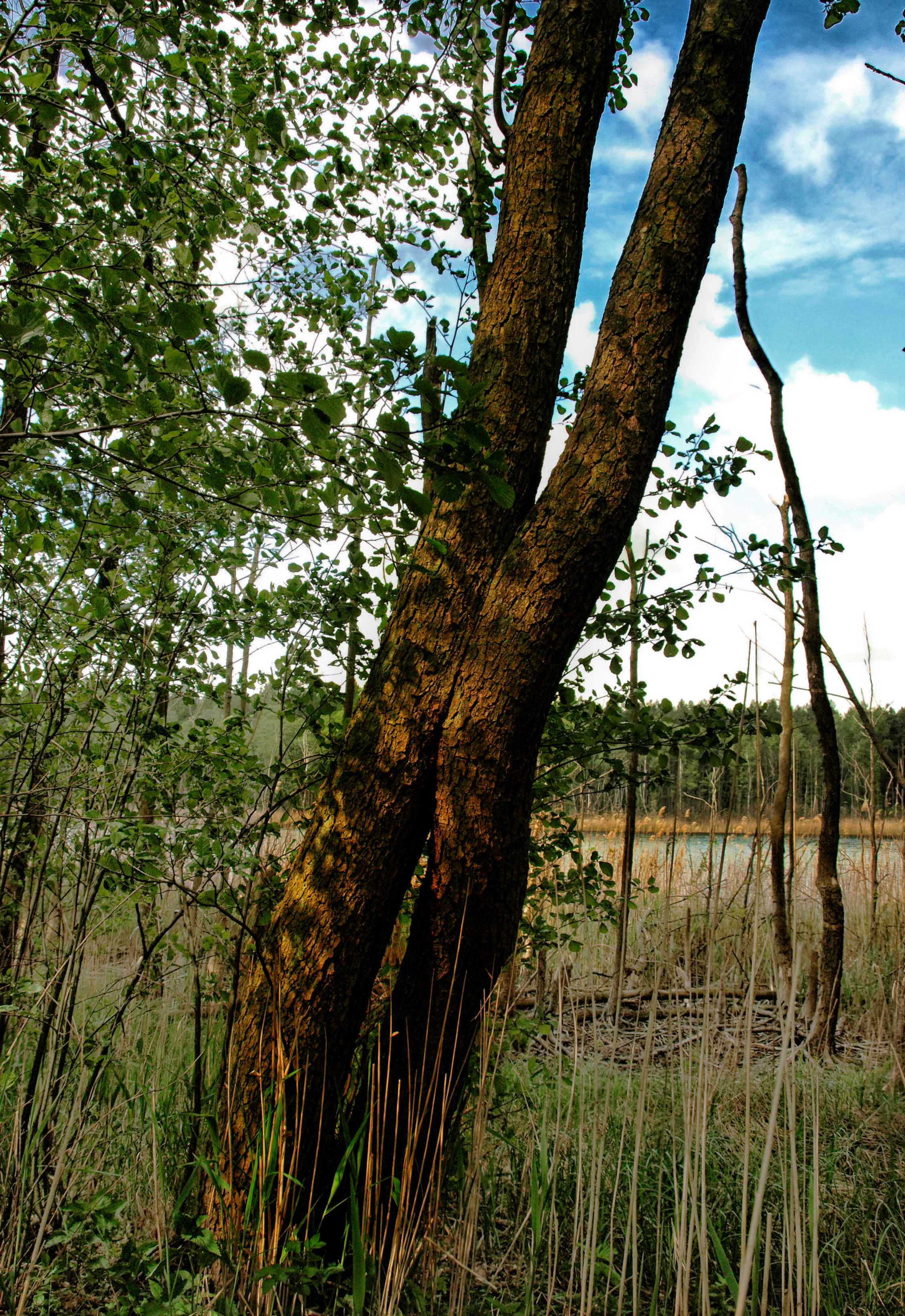
A close-up view of a twin-trunked tree in the foreground, with marshy grasses, reeds, and a glimpse of a calm lake in the background under a blue sky.
A twin-trunked tree overlooking the reeds and waters of the Großer Gollinsee in the Bollwinwiesen nature reserve.

Bollwinwiesen/Großer Gollinsee history and protected-area timeline

Bollwinwiesen/Großer Gollinsee was placed under formal nature protection on 1 October 1990, following a ministerial ordinance issued for the newly defined Biosphärenreservat Schorfheide-Chorin. Within this biosphere reserve, it was registered as the first designated nature reserve, NSG Nr. 1, and received the internal designation number 1057.

The timing was significant: the ordinance of 12 September 1990 that established overarching protection for the biosphere reserve, including its designated Schutzzweck (protection purpose), was issued in the final weeks before German reunification. The Bollwinwiesen/Großer Gollinsee designation thus became part of one of the first systematic conservation frameworks applied to the landscapes of the former East Germany.

Since then, the area has continued to function as a core component of the biosphere reserve, recognized not only for the habitats it preserves but also for the outstanding scenic quality of the lake-and-mire landscape around Gollin. Its long-term role has been to maintain the hydrological and ecological character of the oligotrophic lake chain and surrounding peatlands, limiting intervention to the management needed to sustain these conditions.

Bollwinwiesen/Großer Gollinsee landscape and geographic character

The landscape of Bollwinwiesen/Großer Gollinsee is shaped by the legacy of the last glaciation, which left behind a rolling terrain of moraines, kettle hollows, and lake basins typical of the northern Brandenburg/Uckermark region. The reserve sits at the transition between forested uplands and a string of glacial lakes, giving it a varied and visually layered character.

The dominant scenic feature is the open water of the Großer Gollinsee, framed by wooded shores and backed by the smaller Kleiner Vätersee. To the northwest, the Polsensee expands the lake panorama, while between and around these water bodies lie the soft, often saturated expanses of the Bollwinwiesen, traditional wet meadows whose names reflect the area's long-standing grazing and mowing history. Pastel greens in summer, ochre reed fringes in autumn, and snow-blanketed open flats in winter produce a strongly seasonal landscape.

Between the lakes and meadows, raised bog surfaces and transitional mires create quieter, often almost otherworldly terrain where Sphagnum mosses, cotton grass, and stunted bog vegetation replace the taller grasses of the wet meadows. Small forest patches and hedgerow-like woodland strips edge the reserve, softening the boundary between open land and the larger forest landscapes of the Schorfheide-Chorin region. The result is a landscape of contrasts: open and enclosed, wet and dry, bright water and dark peat, shaped by both natural processes and centuries of careful rural use.

Bollwinwiesen/Großer Gollinsee ecosystems, habitats, and plant life

Ecologically, Bollwinwiesen/Großer Gollinsee is defined by the interplay between open water, mire, and meadow, producing a dense mosaic of habitats within a relatively compact area. The reserve is specifically managed to maintain an oligotrophic-alkaline lake chain and peat-forming bog communities, both of which are rare and increasingly threatened habitat types across central Europe.

The lakes themselves are characterized by low nutrient concentrations and a calcareous-influenced water chemistry, conditions that support distinctive aquatic plant communities and clear water. Surrounding the lakes, the wet meadows of the Bollwinwiesen provide a different but complementary habitat, hosting plants and invertebrates adapted to periodically flooded, base-rich grassland soils. These meadows also function as a transition zone between the open water and the adjacent peatlands.

Beyond the meadows, the Sphagnum-dominated mires and peat-forming bogs represent a third, more acidic habitat layer. Here the vegetation shifts to specialized bog plants, including mosses, sedges, and other species tolerant of nutrient-poor, waterlogged conditions. The combination of alkaline-influenced lakes, base-rich wet meadows, and acidic peat bogs within a single protected area gives Bollwinwiesen/Großer Gollinsee a notably high ecological diversity and makes it a key site for habitat-based conservation in Brandenburg.

Bollwinwiesen/Großer Gollinsee wildlife and species highlights

The reserve's mix of lakes, mires, and meadows supports a range of wildlife associated with these habitat types, including species that depend on calm, nutrient-poor waters, marshy shorelines, and undisturbed peatland. The protected status of the area reflects its importance for threatened animal and plant species that find refuge in the lake chain and surrounding bogs.

The wet meadows, open water, and bog margins provide feeding and breeding habitat for a variety of bird groups typical of lake-and-mire landscapes, including waterfowl, waders, and reed-associated species. The structural diversity of the habitat mosaic, from open water through reeds and meadows to bog woodland, means that different species can occupy different parts of the reserve throughout the year.

The oligo-alkaline lakes and clean, calcium-rich waters also harbor specialized aquatic fauna and flora, while the bog communities support invertebrates and plants adapted to acidic, waterlogged conditions. Together, these habitats form a refuge for species requiring the precise combination of hydrology, chemistry, and minimal disturbance that the reserve is designed to maintain.

Bollwinwiesen/Großer Gollinsee conservation status and protection priorities

Conservation at Bollwinwiesen/Großer Gollinsee centers on the protection of two closely linked ecological assets: an oligotrophic, alkaline lake chain, and a system of peat-forming Sphagnum mires. These habitats are among the most threatened in central Europe due to historical drainage, nutrient enrichment, peat extraction, and land-use change, making their preservation here a matter of broader regional and European significance.

The reserve is administered as part of the UNESCO-recognized Biosphärenreservat Schorfheide-Chorin, ensuring that its management is integrated with the wider conservation strategy of this biosphere region. Its designation in 1990, as the first nature reserve within the biosphere reserve (NSG Nr. 1), established an early legal foundation for habitat protection at a moment when eastern Germany's conservation framework was being rebuilt.

Beyond the preservation of habitats, the reserve is recognized for the outstanding scenic beauty of its landscape, a quality that informs both its protection rationale and its role within the biosphere reserve. Long-term conservation success depends on maintaining the hydrological conditions of the lakes and mires, supporting traditional land use on the wet meadows where appropriate, and limiting interventions to those that sustain rather than transform the ecological character of the area.

Bollwinwiesen/Großer Gollinsee cultural meaning and human context

The Bollwinwiesen carry a strong imprint of long-standing rural land use. Their name, referring to traditional wet meadows, reflects centuries of mowing and grazing in this part of the Uckermark, where communities shaped and maintained open landscapes around their villages. The village of Gollin itself, a district of Templin, lies just outside the reserve and forms part of the broader settlement heritage of the region.

The surrounding landscape is also part of the cultural geography of the Schorfheide-Chorin area, where small villages, field patterns, and forest estates have interacted with glacial lakes and mires for generations. Within this wider context, the reserve represents not only an ecological but also a cultural landscape, where traditional rural practices and natural processes have together produced the present-day character of the terrain.

Top sights and standout views in Bollwinwiesen/Großer Gollinsee

The reserve's standout qualities include the oligo-alkaline Großer Gollinsee and its chain of companion lakes, the Sphagnum-dominated peatlands and raised bogs, and the expansive Bollwinwiesen wet meadows that give the site its name. These features coexist within the Schorfheide-Chorin Biosphere Reserve, of which Bollwinwiesen/Großer Gollinsee was the first formally designated nature reserve.

Equally notable is the compactness and intensity of the ecological mosaic: lakes, mires, meadows, and forest edges are layered tightly together, producing both high biodiversity value and the 'outstanding scenic beauty' explicitly cited in the reserve's founding protection order. This combination of ecological richness and visual quality defines the site's lasting identity.

Best time to visit Bollwinwiesen/Großer Gollinsee

The character of the reserve shifts notably with the seasons. Late spring and early summer bring the richest expression of the wet meadows, when grasses and meadow plants are in full growth and water levels tend to be high, while bird activity around the lakes and reeds is at its peak. This is a particularly rewarding period for observing the interplay between meadow, mire, and water.

Autumn offers a different atmosphere, with reed fringes turning ochre, the bog surfaces taking on russet tones, and lower water levels exposing shoreline structure. Winter, when accessible, transforms the open meadows, frozen lake surfaces, and snow-covered bog flats into a stark but striking landscape. The reserve's protection status means that any visit should be planned to minimize disturbance, particularly during sensitive breeding and high-water periods.

Monthly climate preview

Long-term monthly temperature and precipitation averages for Brandenburg

Bollwinwiesen/Großer Gollinsee Climate Normals and Temperature Rhythm

Representative coordinates record annual temperature progression alongside steady precipitation levels across twelve measured intervals. Examining the complete monthly climate profile reveals detailed thermal ranges and multi-year precipitation patterns.
Annual mean9 °C
-1 °C20 °C
Jan-1°
Feb
Mar
Apr
May13°
Jun17°
Jul20°
Aug19°
Sep15°
Oct
Nov
Dec
Warmest month
July

19.5 °C

Coolest month
January

-1 °C

Wettest month
July

2.5 mm/day

Driest month
April

1.1 mm/day

Park location guide

Geography guide, regional context, and park location map for Bollwinwiesen/Großer Gollinsee

Bollwinwiesen/Großer Gollinsee park geography, regions, and map view in Germany

Understand where Bollwinwiesen/Großer Gollinsee sits in Germany through a broader geographic reading of the surrounding landscape, nearby location context, and its mapped position within the national park landscape.

How Bollwinwiesen/Großer Gollinsee fits into Germany

Germany is a federal republic in Western and Central Europe with a population of over 83 million across sixteen constituent states. It is Europe's largest economy by nominal GDP and a major global exporter and importer. The capital is Berlin, and the country borders Denmark, Poland, Czech Republic, Austria, Switzerland, France, Luxembourg, Belgium, and the Netherlands.

Wider geography shaping Bollwinwiesen/Großer Gollinsee in Germany

Germany is located in Western and Central Europe, spanning 357,022 km². It borders Denmark to the north, Poland and the Czech Republic to the east, Austria and Switzerland to the south, and France, Luxembourg, Belgium, and the Netherlands to the west. The country has coastlines on the Baltic Sea and North Sea to the north, with the Alps located in the southern region.

Map view of Bollwinwiesen/Großer Gollinsee

Use this park location map to pinpoint Bollwinwiesen/Großer Gollinsee in Germany, understand its exact geographic position, and read its mapped placement within the surrounding landscape more clearly.

Pigeon | © OpenStreetMap contributors

Location context for Bollwinwiesen/Großer Gollinsee

Brandenburg

Visual reference for glacial lakes, wet meadows, and protected mire habitats

Bollwinwiesen/Großer Gollinsee Photos and Landscape Scenery

Visual documentation reveals the distinctive glacial terrain, clear lake chains, and peat-moss mires defining the protected nature reserve. Photographic records capture the shifting seasonal character of open wetland meadows and forested shorelines across the Brandenburg biosphere region.

A close-up view of a twin-trunked tree in the foreground, with marshy grasses, reeds, and a glimpse of a calm lake in the background under a blue sky.

Park atlas

Compare nearby glacial lake systems and regional nature reserves across northern Brandenburg.

Parks Near Bollwinwiesen/Großer Gollinsee and Surrounding Protected Landscapes

Browsing other protected areas near Bollwinwiesen/Großer Gollinsee reveals how surrounding glacial lake chains and peat mires form an interconnected regional network. Extending the geographic comparison helps trace similar wetland ecosystems and protected landscapes throughout the wider Uckermark countryside.
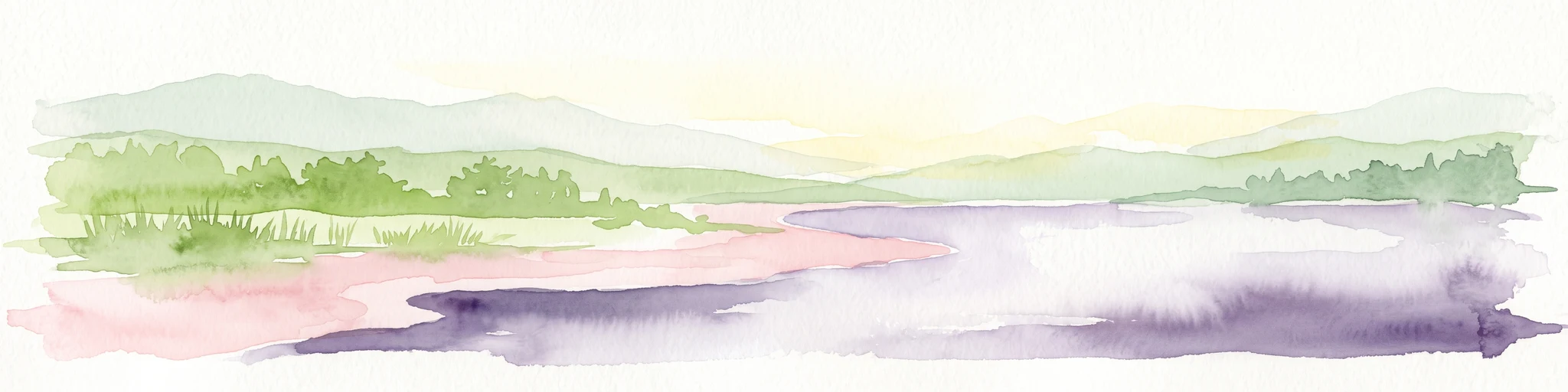
Watercolor painting of a gentle green hilly landscape with a foreground of soft pink and purple tones, set against a light background.
Nature reserveLandkreis Uckermark
1.3 km away#1 closest

Northeast

Endmoränenlandschaft bei Ringenwalde: Nature Reserve and Glacial Landscape Exploration

Geomorphology and protected forest geography in Landkreis Uckermark

This nature reserve stands as a textbook example of end moraine morphology shaped by Pleistocene glaciers. The area serves as a vital component of the broader Schorfheide-Chorin Biosphere Reserve, preserving a distinct system of forested ridges, basin lakes, and varied micro-relief that offers deep insight into the natural history of the Brandenburg region.

Area
5.69 km²
Established
1990
IUCN
IV
Nature reserveBrandenburg
3.5 km away#2 closest

East

Winkel Nature Reserve: Glacial Landscape and Wetland Geography in Brandenburg, Germany

Mapping kettle-hole basins and moraine terrain

Winkel Nature Reserve serves as a vital protected area for studying the hydrological character of the Uckermark. The reserve features a dense network of small, water-filled kettle holes formed by melting glacial ice. This geographic record explores the interconnected wetland habitats and ground moraine surfaces that define this sensitive protected landscape in northeastern Germany.

Area
1.45 km²
Established
1990
IUCN
IV
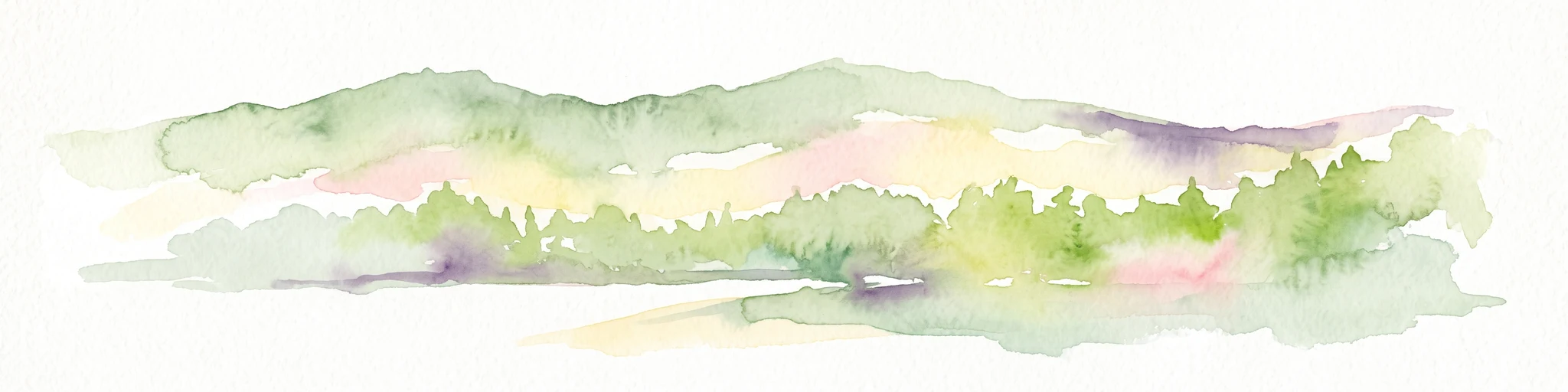
A soft watercolor painting of undulating green hills and forest foliage against a white background.
Nature reserveBrandenburg
About 3.9 km away#3 closest

Northwest

Buchheide Nature Reserve: Glacial Terrain and Forest Conservation in Brandenburg

Base-rich moraine and waterlogged habitat geography

The Buchheide nature reserve in Brandenburg offers a distinct case study in post-glacial landscape ecology. Centered on lime-rich ground moraine and seasonal wetness, the area supports specialized forest habitats. This site provides a clear view into the interactions between ancient geological formations, riparian zones, and current regional conservation strategies across the Uckermark.

Area
5.66 km²
Established
1990
IUCN
IV
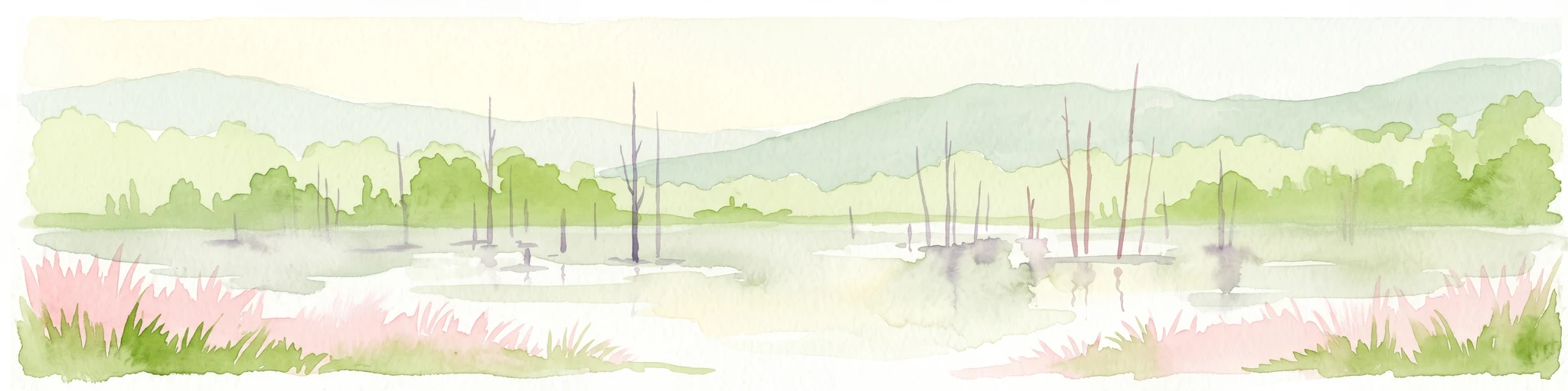
A watercolor painting depicting a calm wetland landscape with thin, bare tree trunks rising from the water, backed by soft green rolling hills and lush vegetation.
Nature reserveBrandenburg
6.3 km away#4 closest

Northeast

Arnimswalde Nature Reserve: Mapped Protected Lake and Forest Ecosystems in Brandenburg

Glacial landscape and Natura 2000 protected territory

Arnimswalde represents a significant protected nature reserve within the Brandenburg region of Germany. This detailed geographic profile covers the reserve's unique glacial lake basins, peat-stained dystrophic waters, and diverse forest communities, offering a structured view of its contribution to regional biodiversity and the broader Schorfheide-Chorin conservation framework.

Area
14.069 km²
Established
1990
IUCN
IV
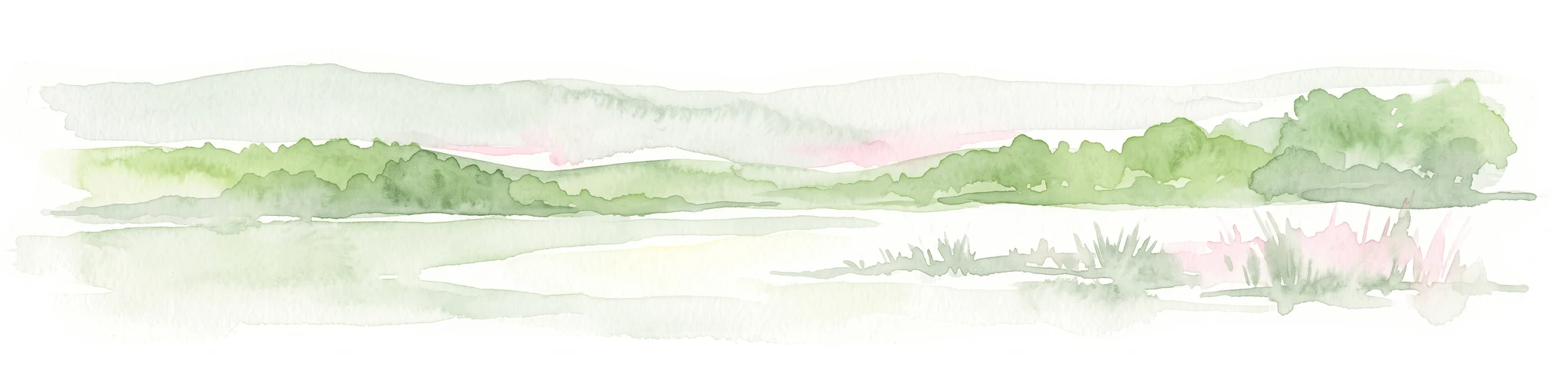
A soft watercolor illustration of a lake landscape with calm water, a green tree-lined shore, and gently rolling hills in the background.
Nature reserveBrandenburg
6.8 km away#5 closest

Northeast

Krinertseen Nature Reserve: Protected Glacial Lakes and Bog Landscapes in Brandenburg

Essential geographic data for the Uckermark wetland conservation area.

Krinertseen provides a concentrated view of Brandenburg's post-glacial terrain. This nature reserve serves as an ecologically significant area defined by mesotrophic-alkaline lakes and active lake-succession mires. The site acts as a key component of the wider Schorfheide-Chorin conservation network, showcasing the complex relationship between regional hydrology and protected forest ecosystems.

Area
3.51 km²
Established
1990
IUCN
IV
Relief
Lowland
Nature reserveBrandenburg
About 15 km away#6 closest

West

Kleine Schorfheide Nature Reserve: Brandenburg Protected Area and Landscape Atlas

Mapped terrain, river floodplains, and forest mosaic in Northern Brandenburg

Spanning over 73 square kilometres, Kleine Schorfheide stands as a significant nature reserve in Brandenburg. It protects a vast, contiguous mosaic of open former military training lands, the natural Havel river floodplain, and the Himmelpforter Heide forest, creating a distinct regional landscape defined by its varied terrain and interconnected lake systems.

Area
73.75 km²
Established
1994
IUCN
IV
Protected areaBrandenburg
17 km away#7 closest

Northeast

Suckower Haussee Protected Area: Geographic Overview and Habitat Mosaic in Uckermark, Brandenburg

Mapping spring mires, wet meadows, and dry grassland ecosystems

Suckower Haussee preserves a diverse habitat gradient typical of the Uckermark district. The protected area features a unique juxtaposition of limnic, peat-forming wetland habitats and nutrient-poor dry grasslands. This site acts as an essential component of the regional conservation network in northeastern Brandenburg, demonstrating the importance of small-scale landscape protection.

Area
1.37 km²
Established
1990
Scope
Terrestrial
Water
Major water bodies
Nature reserveBrandenburg
About 26 km away#8 closest

North

Zerweliner Koppel Nature Reserve: Mapped Protected Landscapes in the Brandenburg Region

A preserved mosaic of woodland and lakeside habitats

Located in the Uckermark district, Zerweliner Koppel represents a vital protected area characterized by its interweaving of wet and dry habitats. This nature reserve supports an array of ecosystems ranging from nutrient-poor lakes and calcareous fens to oak and beech forests, providing a stable refuge for diverse wildlife species in northeastern Germany.

Area
1.93 km²
Established
2005
IUCN
IV
Relief
Lowland

Common questions about visiting, size, designation, and location context for Bollwinwiesen/Großer Gollinsee

Bollwinwiesen/Großer Gollinsee FAQs for park facts, access, geography, and protected area context

Find quick answers about Bollwinwiesen/Großer Gollinsee, including protected-area facts, park geography, trail and visitor context, and how the park fits into its surrounding country and regional landscape.
MoriAtlas Explorer

Continue Your Protected Areas Search Across the Global Atlas

Deepen your exploration by continuing the structured search for national parks and protected areas worldwide. Utilize the comprehensive filtering capabilities to compare different conservation landscapes and refine your understanding of global park geography. Discover more about the distribution and characteristics of protected natural areas.

Global natural geography