
Why Boquerón State Forest stands out
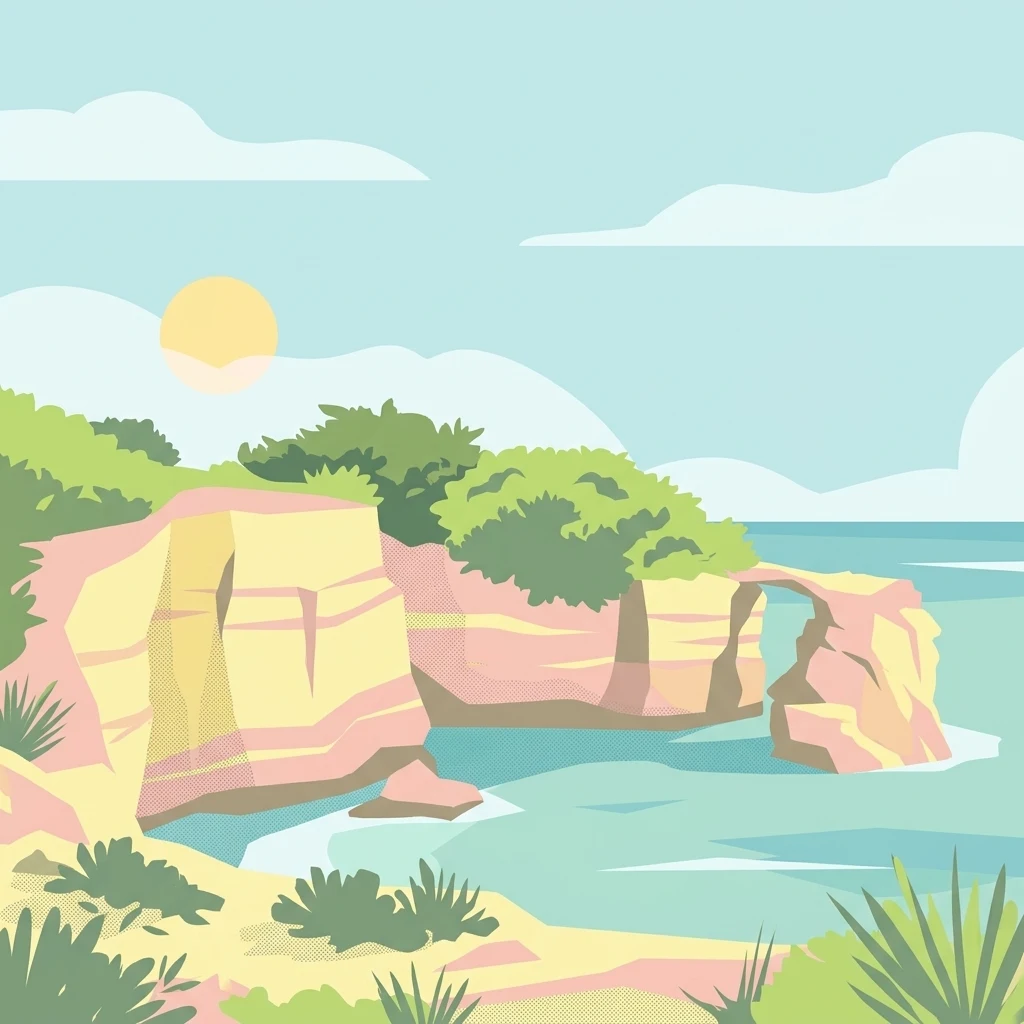
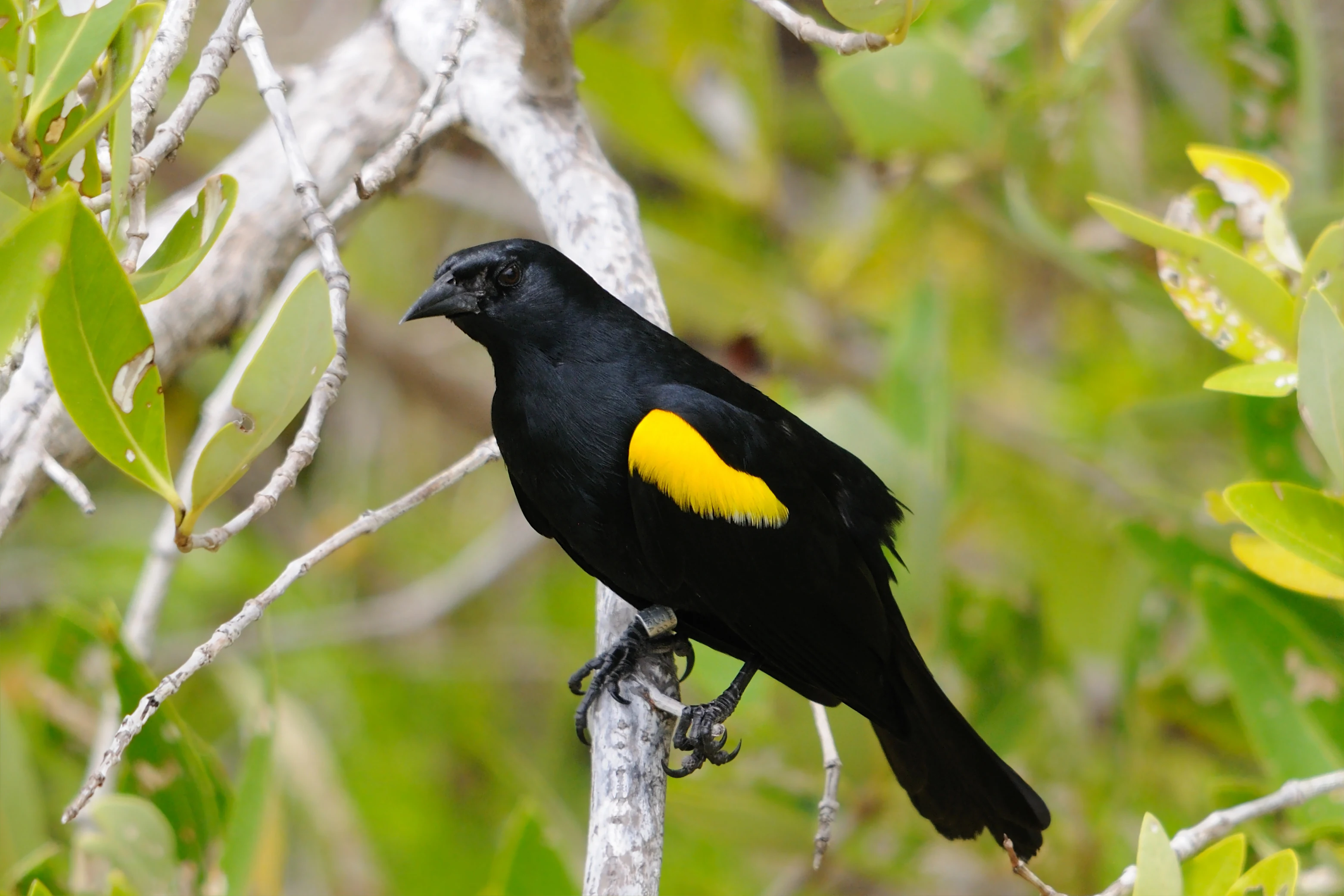
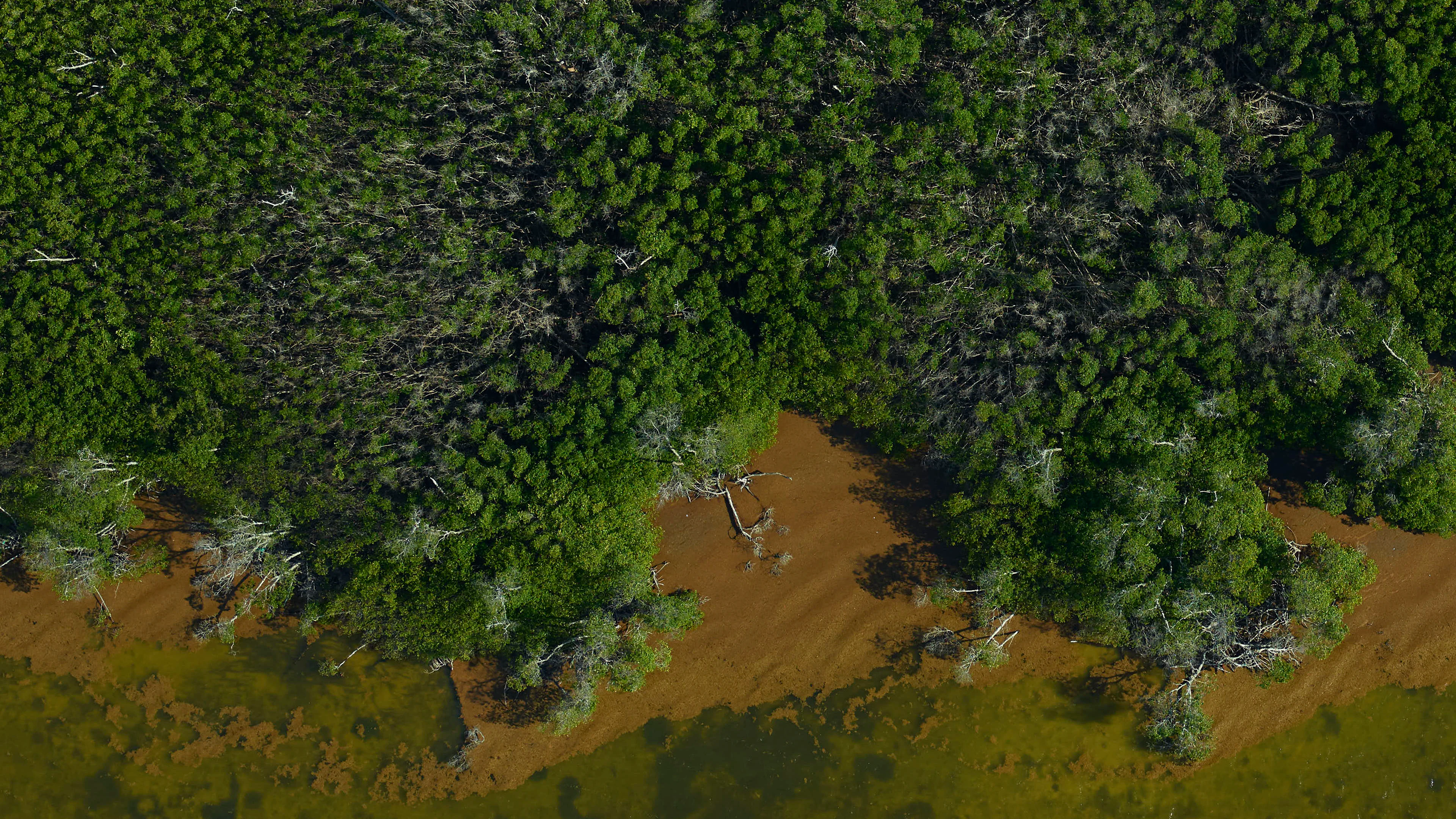
Boquerón State Forest is best known for its exceptional mangrove ecosystems, which include all four mangrove species found in the Caribbean. These mangrove forests are the defining natural feature of the reserve and provide habitat for endangered species such as the yellow-shouldered blackbird, a bird found in only a few places in the world, and whose largest population occurs within the forest. The mangroves also protect vital nursery habitat for West Indian manatees and connect directly to adjacent coral reefs and seagrass meadows that line the southwestern coast. The reserve is equally recognized for its geological scenery. The forest sits within the southern karst region of Puerto Rico, where reddish Ponce limestone has been carved into dramatic cliffs, sea arches, and rock formations along Los Morrillos. Nearby, the ancient salt flats of Cabo Rojo, in use since at least 700 C.E., add a cultural and historical dimension to the natural landscape. The combination of mangrove wetlands, karst coastline, seabird habitat, and ancient salt works is what gives Boquerón its identity.
Boquerón State Forest history and protected-area timeline
Boquerón State Forest holds a special place in Puerto Rico's conservation history as one of the oldest forest reserves on the island. It was proclaimed and designated a forest preserve in 1918 by Governor Arthur Yager, with the original purpose of safeguarding the mangrove forests of Cabo Rojo and Lajas. The early legal protection of these mangroves helped set a precedent for conservation thinking in Puerto Rico at a time when many coastal wetlands were being drained or altered for other uses.
The protected area expanded in stages. In 1943, two additional segments, the Guayacán and Cuevas Keys, were added to the forest. A much larger expansion occurred in 1980, when the Molino mangrove tract, the dramatic Los Morrillos headland with its famous lighthouse, the Guaniquilla Lagoon, and surrounding mangrove areas were annexed to the reserve. With these annexations, the forest grew from a relatively narrow mangrove-focused preserve into a multi-segment coastal reserve spanning three municipalities and nine management areas.
The cultural history of the region is at least as old. The salt flats of Cabo Rojo, located within the forest boundaries, have been a source of salt since pre-Hispanic times and are recognized as one of the oldest industries in the Americas, with origins dating back to about 700 C.E. The forest's headquarters remain in the community of Poblado de Boquerón, anchoring the management of this historically and ecologically rich landscape in the municipal heart of Cabo Rojo.
Boquerón State Forest landscape and geographic character
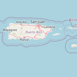
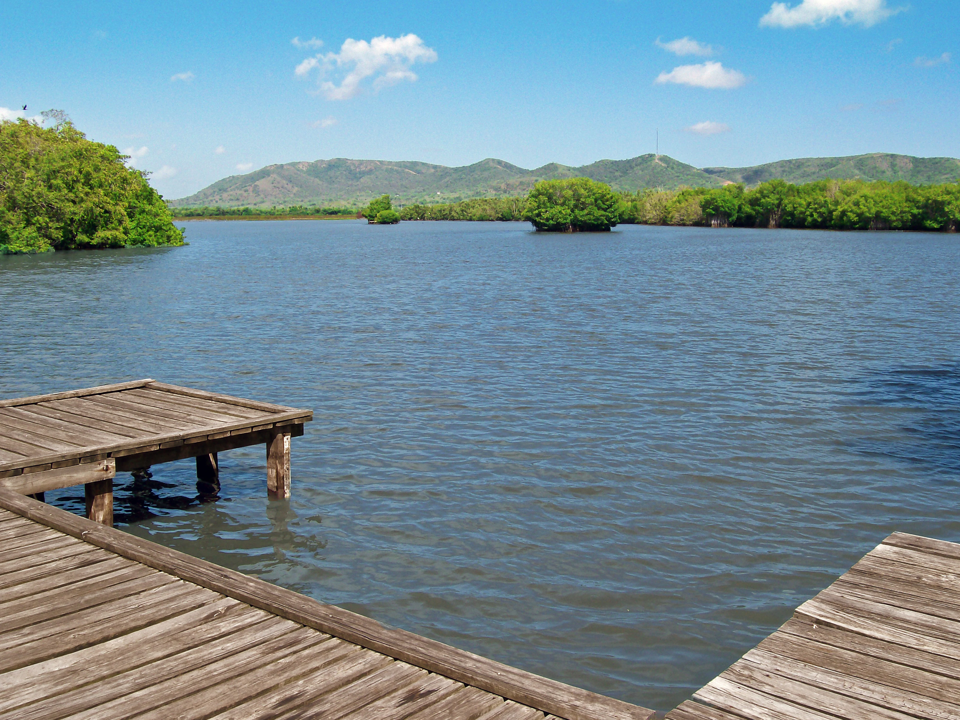
The landscape of Boquerón State Forest is shaped by coastal wetlands in its lower elevations and karst geology along its cliff-lined shores. The reserve includes extensive mangrove forests, open coastal lagoons, and tidal channels, interspersed with salt flats and shoreline views. The dominant mangrove species include the four types found in the Greater Antilles, and the wetlands are stitched together by estuarine shoreline along Boquerón Bay and other coastal inlets.
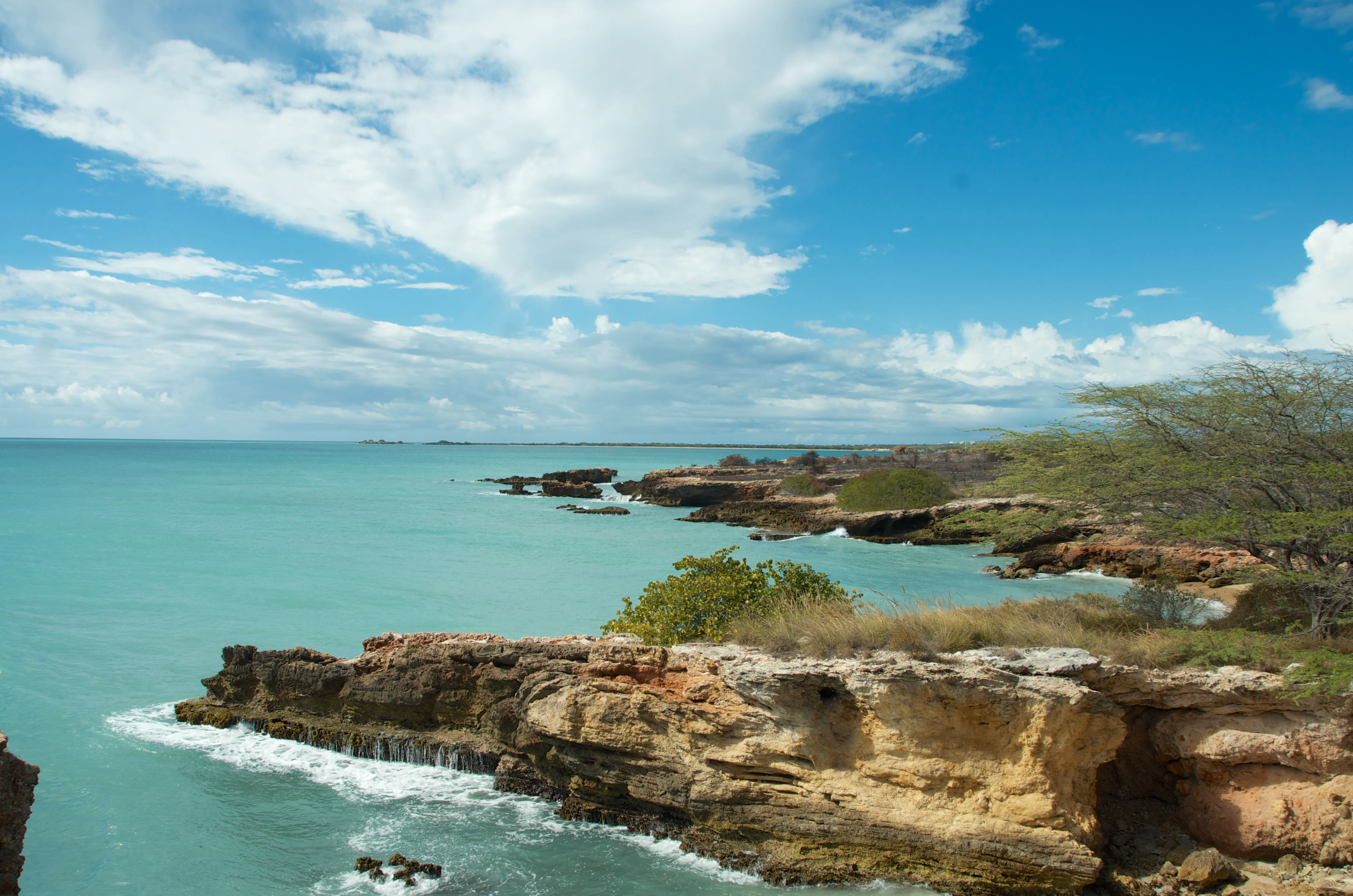
The forest's most visually striking scenery lies along the Los Morrillos peninsula on the southwestern tip of Puerto Rico. Here, the southern Puerto Rico karst region emerges as a wall of Ponce limestone, a reddish limestone whose color is said to give the municipality of Cabo Rojo its name, meaning "red cape," in Spanish. Wave and weather action have carved this limestone into dramatic cliffs, sea arches, and rock formations, including the well-known Stone Bridge, or Puente de Piedra. Coastal forests of sea grape, bullet tree, and greenheart grow among these rock formations, framing the iconic Los Morrillos Lighthouse that overlooks the shoreline.
Inland from the cliffs, the terrain transitions into a mosaic of mangrove wetlands interspersed with salt flats and remnant dry forest. The ancient salt pans of Las Salinas de Cabo Rojo remain visible near the coast, marking centuries of human interaction with this environment.
Boquerón State Forest ecosystems, habitats, and plant life
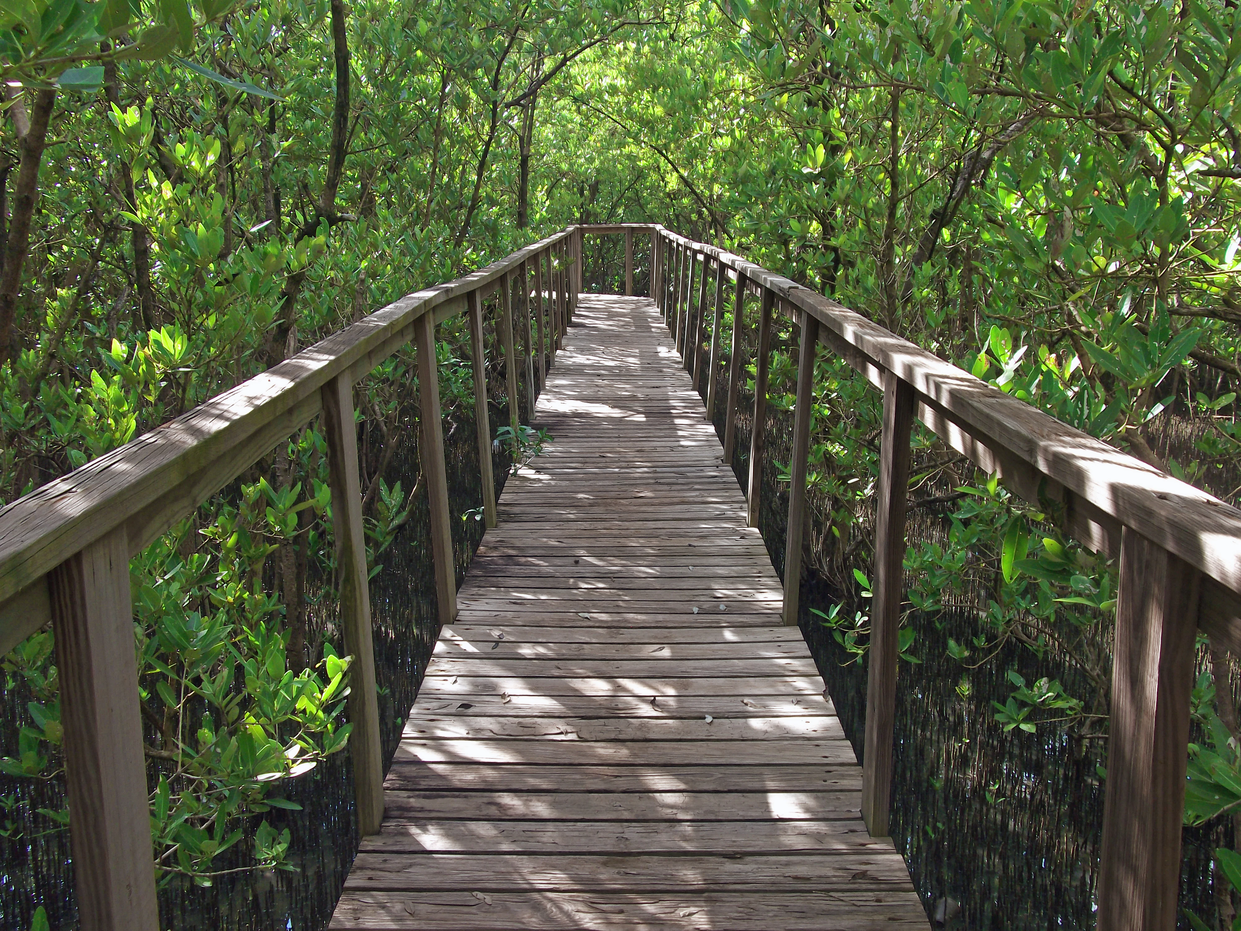
Boquerón State Forest is a coastal reserve whose ecological value lies in the link between terrestrial wetlands and marine habitats. Its mangrove forests are the core of its natural character and are part of the Greater Antilles mangroves ecoregion recognized by the World Wildlife Fund. All four species of mangrove found in the Caribbean grow within the forest, together forming unusually rich and structurally varied mangrove habitat. These forests contain important indicator plant species such as the bullet tree, the greenheart, and the sea grape, and they shelter endangered tree species including the black cóbana, which is endangered, and the bariaco, which is critically endangered.
The terrestrial wetlands are paired with marine environments that extend the forest's ecological reach into the ocean. Coral reefs and seagrass meadows lie offshore, providing essential habitat for the West Indian manatee, juvenile fish, and marine invertebrates, while the beaches around the reserve serve as nesting grounds for sea turtles. The combination of mangrove nurseries, reef systems, and coastal lagoons forms a tightly connected ecological network that is unusual in scale and condition even by Caribbean standards.
The forest plays a meaningful role in regional ecological connectivity. Positioned along the southeastern edge of the Atlantic Flyway, it serves as a critical stopover and wintering area for migratory birds traveling between North and South America. The mangrove stands, lagoons, and coastal woodlands together provide the food resources and shelter these migrants depend on during long-distance movements.
Boquerón State Forest wildlife and species highlights
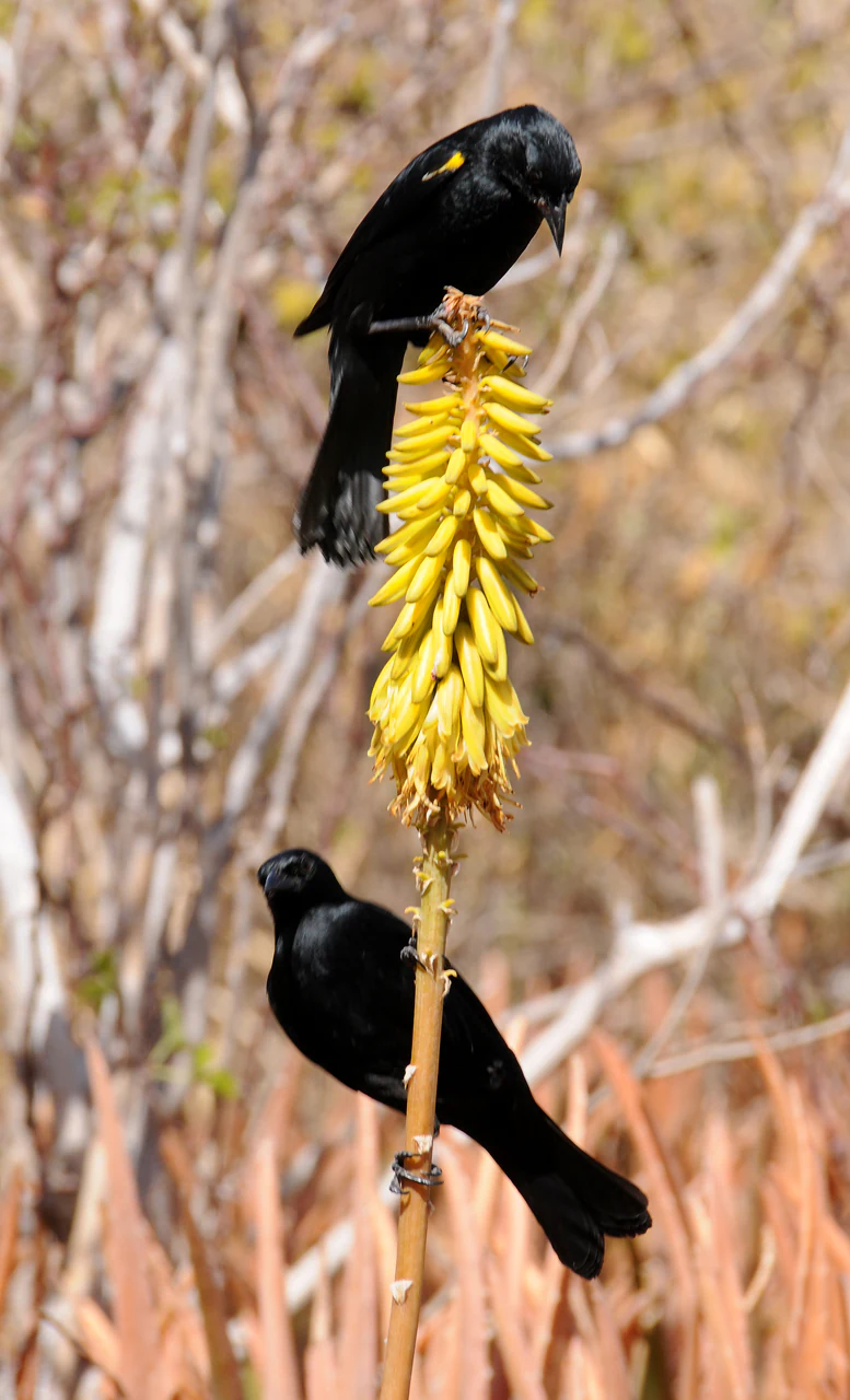
Wildlife is one of the defining reasons Boquerón State Forest holds international conservation significance. The reserve supports endangered and rare species across terrestrial, marine, and avian habitats. The yellow-shouldered blackbird, locally known as mariquita, has its largest known population within the forest, and the area is now one of the few places in the world where this endangered bird reliably breeds and forages. Mangrove and salt flat habitats also host a wide variety of resident and migratory bird species, including Antillean nighthawks, herons, and shorebirds that use the lagoons and mudflats.
The mangrove forests and offshore seagrass meadows together protect the West Indian manatee, an endangered marine mammal that relies on warm-water refuges and seagrass feeding grounds. Coral reef habitats adjacent to the forest add further marine biodiversity, although the wildlife emphasis of the reserve is heavily weighted toward its mangrove and beach environments. Sea turtles are a major focus of conservation effort in the forest's coastal areas, and the beaches around the reserve host nesting populations of three species of threatened sea turtles.
The beaches of Boquerón are recognized nesting sites for the leatherback sea turtle, the hawksbill sea turtle, and the green sea turtle, all of which require protected, undisturbed sandy shorelines for their reproductive cycle. Other wildlife of note includes migratory waterfowl, wading birds, and the broader assemblage of Caribbean coastal and mangrove-associated fauna.
Boquerón State Forest conservation status and protection priorities
Boquerón State Forest represents one of the more comprehensive examples of long-standing coastal conservation in Puerto Rico. Designated as early as 1918, it predates most modern mangrove and coastal habitat protection efforts in the Caribbean and reflects more than a century of accumulated protection for its mangrove biomes. Its present-day management, guided by the Puerto Rico Department of Natural and Environmental Resources and coordinated with the United States Fish and Wildlife Service, integrates state-level land management with federal wildlife refuge expertise through the Cabo Rojo National Wildlife Refuge, which lies within the forest's boundaries.
The reserve's conservation significance is recognized at the international level. The southern portion of the forest is part of the Southwestern Puerto Rico Important Bird Area, and the western coastal mangroves along Boquerón Bay are part of the Guaniquilla and Boquerón Important Bird Area, both designated by BirdLife International in 2007. These designations reflect the forest's role in protecting globally threatened bird species, especially the yellow-shouldered blackbird, and in supporting broader migratory pathways along the Atlantic Flyway.
Beyond birds, the forest protects endangered trees such as the black cóbana and bariaco, key mangrove communities that act as nursery habitat for marine life, and critical nesting beaches for three species of threatened sea turtles. Its multiple management segments, stretching from the cliffs of Los Morrillos to the mangrove forests of Guanajibo, reflect a deliberate conservation strategy that links fragmented but ecologically connected habitats into a single coordinated protected landscape.
Boquerón State Forest cultural meaning and human context
The cultural context of Boquerón State Forest is most clearly expressed through the salt flats of Cabo Rojo, located within the protected area boundaries. These salt flats have been continuously worked since pre-Hispanic times, with documented salt production reaching back to approximately 700 C.E., making them one of the oldest industrial sites in the Americas. Salt harvesting in this region is not merely a historical footnote but a living connection between contemporary coastal communities and an ancient indigenous and colonial resource economy.
The forest's setting in southwestern Puerto Rico also means that it intersects with longstanding coastal communities, including Poblado de Boquerón, where the forest's administrative offices are located. The forest hosts culturally important landmarks such as the Los Morrillos Lighthouse, the Stone Bridge rock formation, and the historic salt flats, all of which are part of regional identity. Pre-Hispanic cultural memory is embedded in the very landscape of the reserve through these centuries-old salt works, which are recognized as an important heritage feature within the modern protected area.
Top sights and standout views in Boquerón State Forest
Among the park's most distinctive features are its four-species mangrove forests harboring the world's largest population of the yellow-shouldered blackbird, the dramatic limestone cliffs and sea arches of Los Morrillos, and the ancient salt flats of Cabo Rojo that have produced salt since at least 700 C.E. The reserve also stands out for including three sea turtle nesting species within its beaches and for hosting part of two internationally designated Important Bird Areas.
Best time to visit Boquerón State Forest
Boquerón State Forest is usable year-round because of its tropical coastal setting, but the dry season, roughly from late fall through early spring, tends to offer the most comfortable conditions for hiking, kayaking, and exploring the limestone scenery around Los Morrillos. During this drier period, the salt flats are also at their most photogenic, and the limestone cliffs are easier to access on foot.
Migratory bird presence typically peaks in the cooler months, when northern species move along the Atlantic Flyway and join the resident birds of the mangroves and lagoons. Sea turtle nesting activity on the reserve's beaches occurs during warmer months and tends to coincide with overnight hours, so visitors interested in the nesting beaches should plan accordingly and respect local guidance for protected wildlife viewing. Wildlife observation in general is productive throughout the year, with the highest diversity often coinciding with transitional seasons when resident and migratory species overlap.