Mori Atlas logo
Park earthquake history

A structured overview of geological records and associated epicentre proximity data

Botan Valley National Park Earthquake History and Recorded Seismic Activity Catalogue

Explore the historical catalogue of recorded seismic events identified within the geographic vicinity of Botan Valley National Park. This resource presents categorized earthquake data, including event dates, magnitude ratings, and calculated epicentre distances relative to the park boundaries in Siirt Province. Researchers and curious observers can review these records to understand the regional seismic patterns without inferring predictive risk or geological causation for this protected landscape.

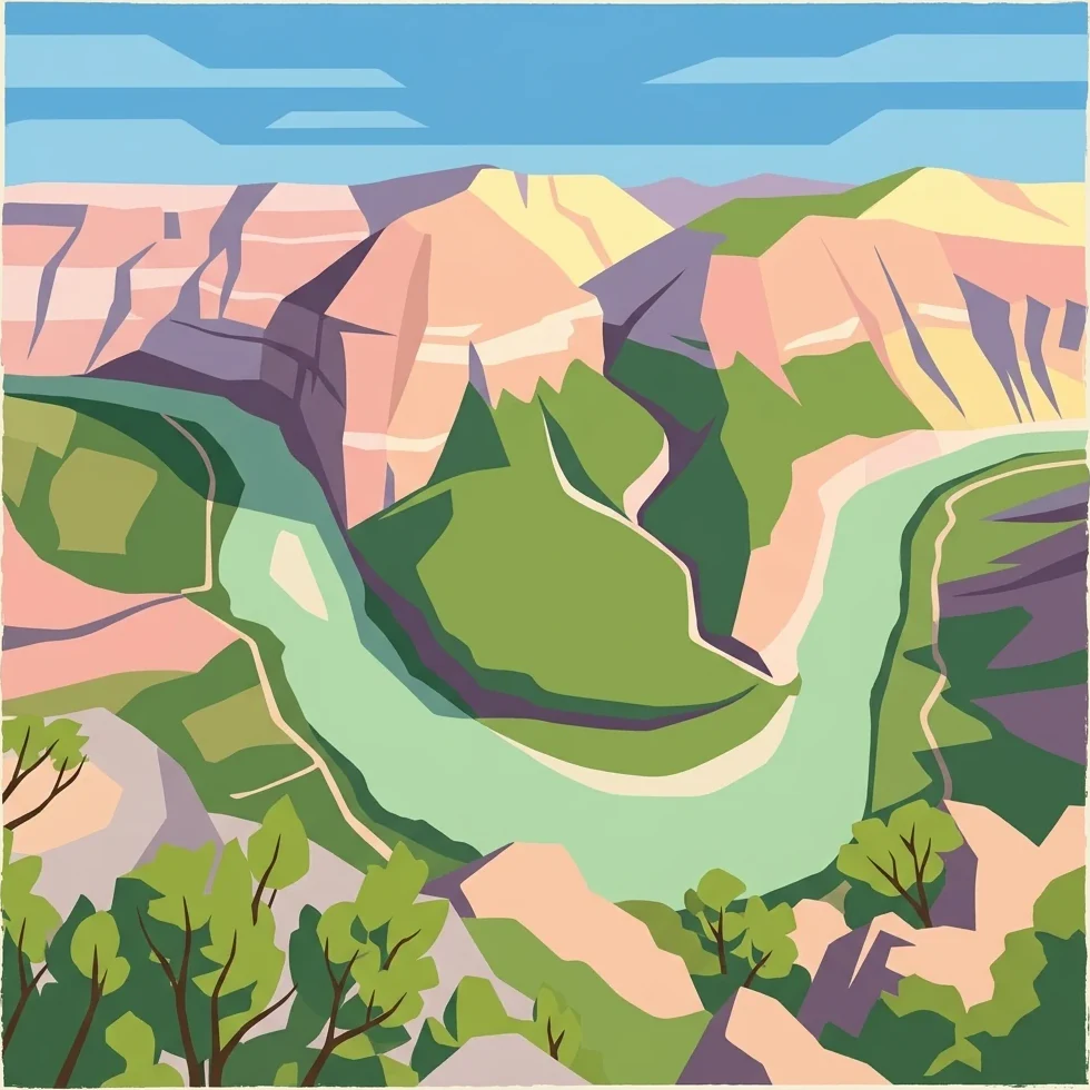
Stylized illustration showing a winding river through mountainous terrain with green valleys, rocky cliffs, and scattered trees under a blue sky

Turkey's largest and most biodiverse national park

Botan Valley National Park

Botan Valley National Park is Turkey's largest and most biodiverse national park, established in August 2019 in the southeastern part of the country within Siirt Province. The park encompasses the Botan Valley, a historically significant area that spans across the central Siirt, Tillo, and Eruh districts. Covering approximately 120,000 acres with over 29 kilometers of marked routes, the protected area represents one of Turkey's newest and most ambitious conservation initiatives. The park's establishment was formalized through a presidential decision published in the Official Gazette of the Republic of Turkey on August 15, 2019, marking a significant milestone in the country's approach to preserving its natural heritage. The valley offers a dramatic landscape characterized by its rugged terrain, steep valleys, and the winding Botan River that cuts through the region. The area has long been recognized for its ecological significance, supporting diverse habitats and vegetation types within the broader southeastern Anatolian landscape. The park is managed by the Directorate-General of Nature Protection and National Parks under the Ministry of Environment, Urbanization and Climate Change, ensuring coordinated conservation and visitor management. Beyond its ecological value, the park provides opportunities for outdoor recreation, including paragliding and rafting, making it a destination that combines natural preservation with adventure tourism potential.

Location
Turkey
Park type
National park
Established
2019
Area
486 km²
Botan Valley National Park Protected Area

Compare Botan Valley National Park records by date, depth, location, and distance

Investigate earthquake observations around Botan Valley National Park

Botan Valley National Park’s earthquake set measures the relationship between reported epicentres and its southeastern Turkish river valley, hills, mountain terrain, and riparian habitat. Each event’s time, magnitude, depth, locality, distance, and source support historical review without classifying it inside the valley or inferring terrain effects, current hazard, causation, damage, or a future pattern.

Sort by
Magnitude
Location

This page describes catalogued earthquakes associated with the park by epicentre location and distance. It does not establish causation, assess current danger, or predict future earthquakes.

No earthquake records match the current filters

Park atlas

Move from Botan Valley National Park earthquake history into wider discovery

Discover additional protected parks beyond Botan Valley National Park

Beyond the earthquake records associated with Botan Valley National Park, a separate group of destinations extends atlas exploration. The links do not establish shared Turkish valley landscapes, legal status, earthquake observations, geology, proximity, seismic conditions, hazards, risk, or matching catalogue coverage.
Watercolor painting showing mountain ranges with green and yellow color washes
National parkHakkari Province
168 km away#1 closest

East

Hakkari Cilo-Sat Mountains National Park: Glacial Terrain and Regional Geography Atlas

Mapped protected boundaries in Hakkari Province's high alpine environment.

Delve into the geography and protected landscape of Hakkari Cilo-Sat Mountains National Park. This page provides a structured atlas view of its dramatic glacial valleys, alpine lakes, and high peaks within Hakkari Province. Understand the mapped extent and unique topographic features of this newly designated national park, ideal for exploring Turkey's remote mountain ecosystems.

Area
275 km²
Established
2020
IUCN
II
Relief
Mountain
National parkTunceli Province
247 km away#2 closest

Northwest

Munzur Valley National Park: Tunceli Province's Vast Protected Alpine Landscape

Discover Turkey's largest national park and its unique mountain geography.

Munzur Valley National Park stands as a monumental protected area within Tunceli Province, Turkey. Its expansive territory encompasses approximately 420 square kilometers of dramatic mountain ranges, deep river valleys, and high-altitude glacial lakes. The park's complex geological makeup, shaped by tectonic forces and glacial activity, contributes to its unique terrain. This atlas entry highlights the park's role as a major biodiversity hotspot and a significant feature within eastern Anatolia's regional geography, offering rich context for landscape exploration.

Area
420 km²
Established
1971
IUCN
II
Relief
Mountain
National parkŞanlıurfa
About 256 km away#3 closest

Southwest

Tek Tek Mountains National Park: Protected Area with Ancient Ruins in Şanlıurfa, Turkey

Mapped geography and historical landscapes within Turkey's southeastern steppe.

Tek Tek Mountains National Park represents a vital protected area in Şanlıurfa Province, southeastern Turkey. This national park safeguards a unique landscape defined by the Tek Tek mountain range, featuring rugged terrain, rocky outcrops, and semi-arid steppe ecosystems. Beyond its natural beauty, the park is renowned for its significant archaeological heritage, including ancient settlements and religious sites that offer a glimpse into the region's historical depth. MoriAtlas provides a structured atlas view of this protected landscape, detailing its geographic features and its place within the regional context.

Area
193.35 km²
Established
2007
IUCN
II
Relief
Mixed relief
National parkTurkey
About 263 km away#4 closest

North

Sarıkamış-Allahuekber Mountains National Park: High-Altitude Protected Forest and WWI Memorial Landscape in Turkey

Explore the distinct protected terrain and historical geography of Turkey's eastern highlands.

Sarıkamış-Allahuekber Mountains National Park offers a unique exploration of high-altitude protected lands in Turkey. This national park is characterized by its remarkable pure Caucasian pine forests that thrive at elevations typically above the tree line, showcasing a rare alpine ecosystem. The park's rugged mountain terrain, marked by significant historical sites from the Battle of Sarikamish, provides a profound connection between natural landscape and human history within its mapped boundaries. Discover the geographic setting and protected status of this distinctive area.

Area
225.19 km²
Established
2004
IUCN
II
Relief
Mountain
National parkBayburt Province
About 264 km away#5 closest

Northwest

Mount Kop Defense National Historic Park: A Protected WWI Battlefield and Biodiversity Hotspot

Mapped protected area in Bayburt Province, Turkey.

Delve into Mount Kop Defense National Historic Park, a protected national park situated in the mountainous terrain of Bayburt Province, Turkey. This site is distinguished by its preserved World War I battlefield features and remarkable biodiversity, particularly its status as a critical habitat for numerous high-altitude butterfly species. Explore the mapped geography and unique conservation value of this significant protected landscape, understanding its distinct place within regional natural and historical atlases.

Area
6.335 km²
Established
2016
IUCN
II
Relief
Mountain
Watercolor painting showing a lake with green vegetation, rolling hills, and mountain range in the background
National parkTurkey
About 277 km away#6 closest

West

Mount Nemrut National Park: Turkey's Protected Landscape and Geographic Atlas Entry

Explore the mapped boundaries of this significant national park.

Mount Nemrut National Park is a designated national park in Turkey, offering a distinct focus for protected landscape and geographic discovery. This page serves as an entry point to understanding its mapped boundaries, regional setting within southeastern Anatolia, and its significance as a protected natural area. Delve into the atlas context and explore the unique geographic features that characterize this important Turkish national park.

IUCN
II
A horizontal watercolor illustration depicting rolling, sandy desert dunes in the foreground and light purple, hazy mountain silhouettes in the background against a white sky.
Wildlife reserveArarat Province
About 314 km away#7 closest

Northeast

Goravan Sands Sanctuary: Protected Sandy Semi-Desert Ecosystems in Ararat Province

A rare relict landscape of Armenia's Caucasus biodiversity

Goravan Sands Sanctuary preserves a striking mosaic of sandy plains, dry limestone ridges, and tertiary clay habitats within the Ararat Province. Known for hosting the only known Armenian population of the relict phog shrub, this reserve is a reference site for psammophilic flora and endemic invertebrate fauna. Explore the layered geography and arid biodiversity of this high-priority South Caucasus conservation landscape.

Area
0.96 km²
Established
1959
Relief
Upland
Climate
Arid
A horizontal watercolor painting depicting rolling green hills, distant mountains, and sparse vegetation.
Nature reserveArarat Province
322 km away#8 closest

Northeast

Khosrov Forest State Reserve: Mapping Armenia's Historic Nature Reserve and Mountain Geography

Explore ancient juniper forests and rugged canyon terrain in Ararat Province.

Khosrov Forest State Reserve is a critical protected landscape in Armenia defined by its remarkable elevational gradient. From semi-desert lowlands to high mountain meadows, the reserve encompasses unique Tertiary relict forests and river-cut gorges. This resource maps the park's boundaries and provides a clear geographic overview of its diverse ecosystems and cultural heritage within the Ararat Province.

Area
232.13 km²
Established
1958
IUCN
Ia
Relief
Mountain
MoriAtlas Explorer

Continue Exploring the Geography and Mapped Boundaries of Botan Valley National Park

Deepen your understanding of Botan Valley National Park by delving into its specific geographic context within Siirt Province. MoriAtlas facilitates detailed exploration of the park's protected landscape, its mapped terrain, and the surrounding regional geography. Continue to discover the atlas features that define this remarkable natural area and its conservation significance.