
Why Cajas National Park stands out
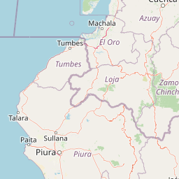
Cajas is best known for its extraordinary density of glacial lakes set within an open Andean páramo, a landscape of cushion grasslands, boggy wetlands, and low Polylepis woodlands that is unusual even within Ecuador. The park's hydrological importance is equally distinctive: the lakes and surrounding wetlands feed the rivers that supply Cuenca's drinking water and the country's largest hydroelectric project, while also providing habitat for migratory waterbirds. Beyond its hydrology and páramo ecosystems, Cajas is notable for its archaeological traces of the Inca road system, which once connected the highlands with the Pacific lowlands through the park. The combination of lakes, páramo climate with frequent fog and occasional snowfall, and cultural heritage gives the park a layered identity that distinguishes it from Ecuador's tropical and volcanic parks further north.
Cajas National Park history and protected-area timeline
Long before modern protection, the Cajas highlands were part of the cultural and sacred landscape of the Cañari people, who between roughly 500 and 1450 CE venerated the lakes, mountains, and páramo as sacred sites. After the Inca conquest of the region, the city of Tomebamba, the ancestral core of modern Cuenca, was established as a royal Inca center, and the Inca road system crossed the park on its way between the Andes and the coastal lowlands. Remains of stone stairs, tambo foundations, and pre-Inca structures near Mamamag and Luspa still mark this route, and around 4 kilometers of the historic Inca trail have been restored within the park.
European exploration of the area was documented by Alexander von Humboldt, whose descriptions of the zone date from approximately 1878. In the twentieth century, the region was progressively transformed by infrastructure: trout were introduced into local rivers and lakes in the 1940s to promote sport fishing and aquaculture, and the construction of the Cuenca–Molleturo–Naranjal road began in 1969 and was completed in 1988, opening access to the highlands.
Cajas was formally established as a recreation area on July 4, 1977, through Interministerial Agreement 203. On May 11, 1996, its status was upgraded to national park, with revised boundaries covering approximately 29,000 hectares. In 2002 the park was designated a Ramsar Wetland of International Importance, and in 2013 UNESCO established the Macizo del Cajas Biosphere Reserve, with Cajas National Park serving as one of its core areas.
Cajas National Park landscape and geographic character
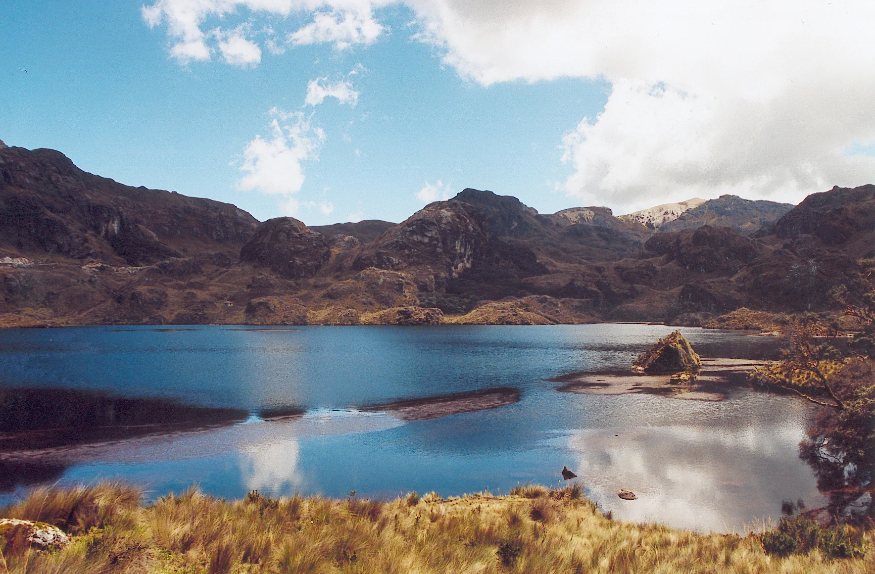
The terrain of Cajas is defined by Pleistocene glacial processes layered onto older volcanic and tectonic structures of the western Andean cordillera. Small U-shaped valleys, rounded moraines, glacial lakes, and rugged ridges give the park a complex and irregular topography, while volcanic ashfall from northern Ecuador has contributed to the dark, organic-rich soils that underlie the páramo vegetation. The elevation gradient is significant but compressed, ranging from basins near 3,000 meters to high summits such as Cerro Arquitectos at about 4,445 meters.
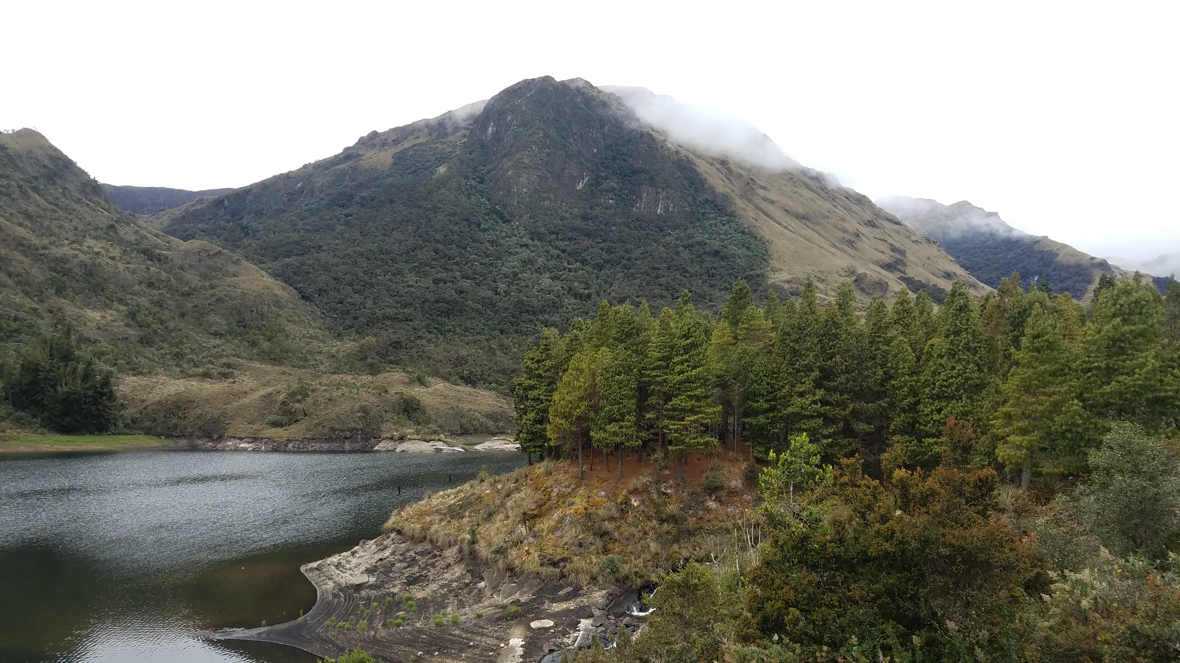
The most visually defining feature is the lake system itself. Within the park, more than 235 well-defined glacial lakes sit alongside hundreds of smaller pools and peat bogs, forming interlinked 'cajas' or boxes of water that give the area its name. Among the better-known lakes are Luspa, Lagartococha, Osohuaycu, Mamamag or Taitachungo, Quinoascocha, La Toreadora, Sunincocha, Cascarillas, Ventanas, Llaviucu, Angas, and Tinguishcocha. The drainage pattern shifts between parallel channels south of the Cañar River and radial patterns to the north, reflecting the influence of older volcanic faults on the landscape's structure.
Climatically, the park has no sharply defined dry season. Temperatures range from sub-zero nights in winter to relatively mild afternoons in summer, with frequent frosts and persistent drizzle and fog. Between July and September, snowfalls occur occasionally, transforming the green páramo into a white highland landscape that visitors often compare visually to European or North American winters.
Cajas National Park ecosystems, habitats, and plant life
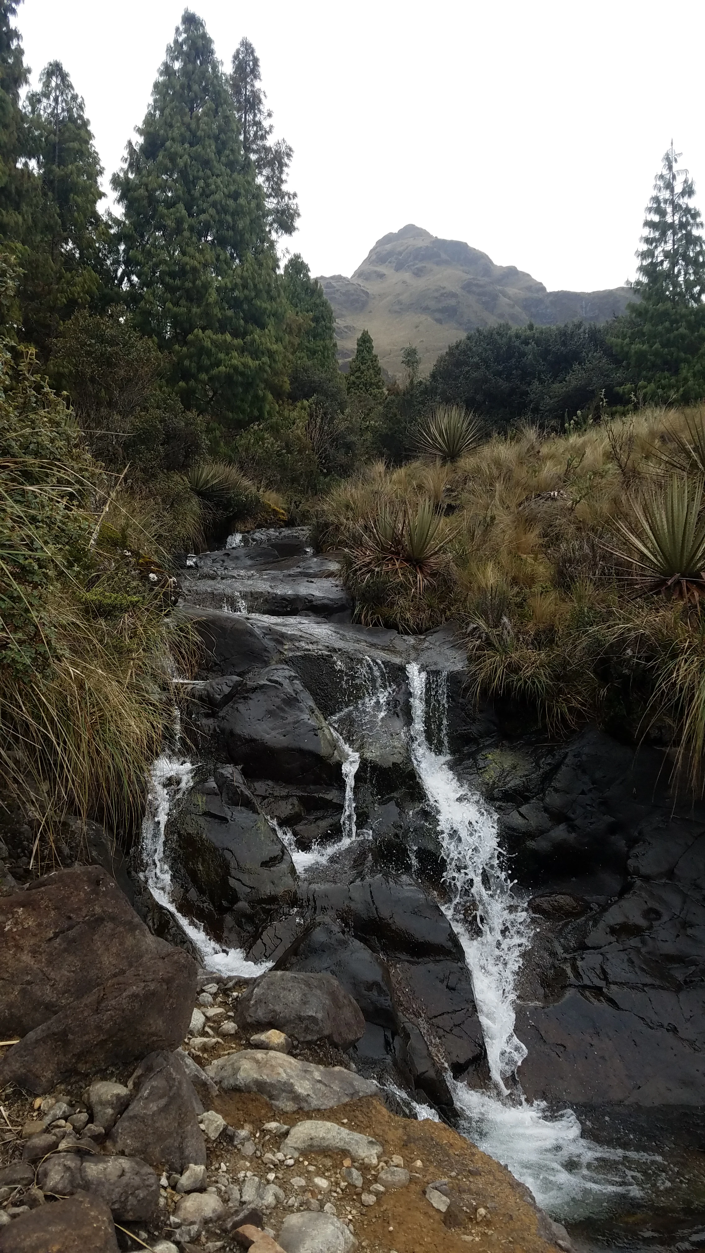
Cajas protects a representative and ecologically rich transition between northwestern Andean montane forests and the northern Andean páramo, a high-elevation grassland and wetland system found only above roughly 3,000 meters in the equatorial Andes. The vegetation is composed of three main formations: high montane cloud forest, evergreen high montane forest, and herbaceous páramo, the latter being the most extensive and the one most closely associated with the park's identity.
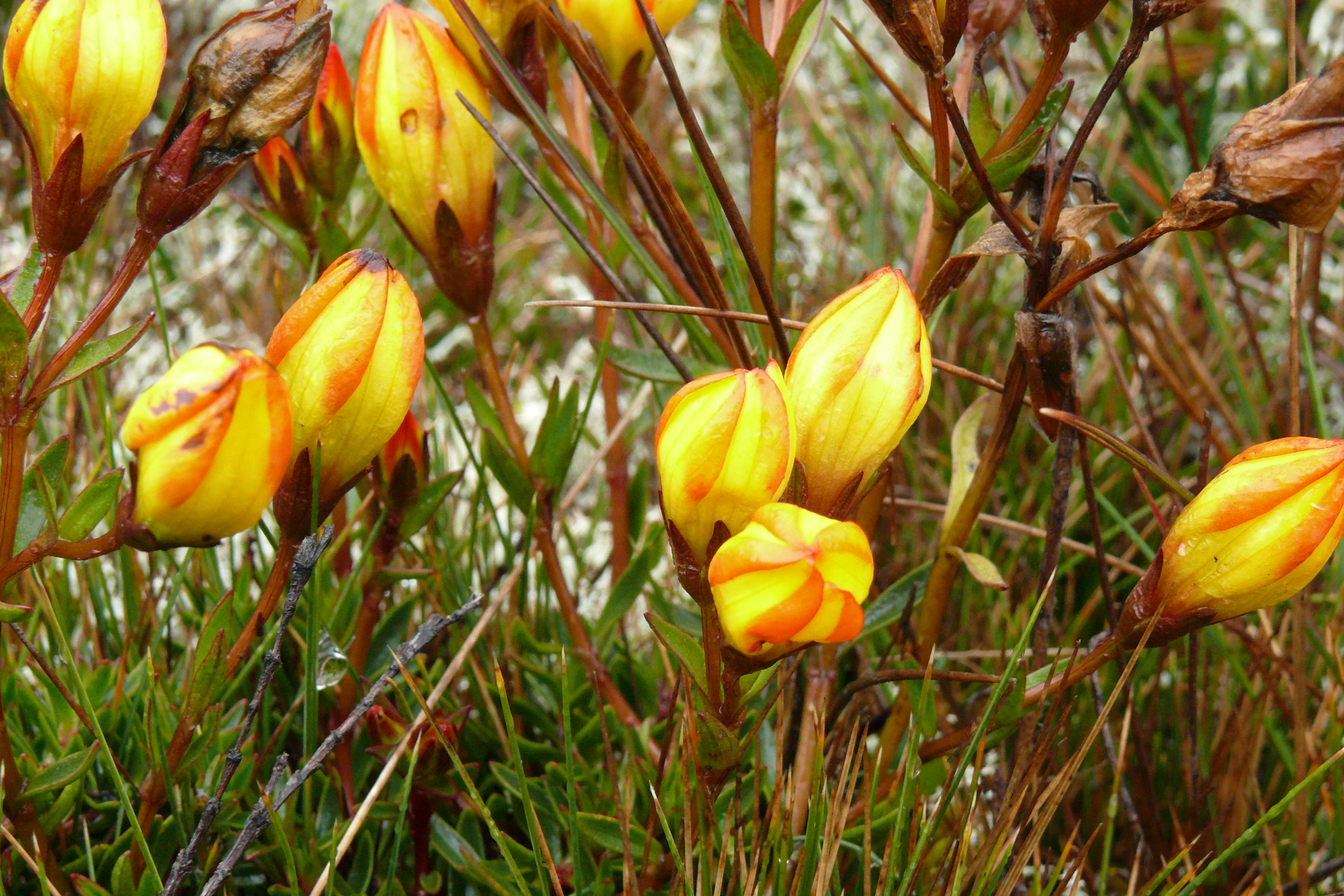
In the eastern portion of the park lies a sub-Andean rainforest reserve rich in orchids, ferns, and mosses, while the western edges hold timber-rich forest species. A particularly distinctive vegetation type is the Polylepis woodland known locally as quiwuña, papel, or quinoa tree, which grows to heights of 8 to 10 meters around lakes, streams, and rocky outcrops, and is the only tree species able to survive above 4,000 meters in the park. Other characteristic plants include residual stands of sarar, pichul, yellow and red quinoa shrubs, and the cushion-forming Chuquiraga jussieui, which thrives on lake margins. About 600 vascular plant species have been recorded in the park.
The combination of waterlogged soils, low temperatures, and organic accumulation creates extensive peatlands and cushion bogs that act as both carbon stores and the source of slow, steady water release into the downstream river network. Restoration efforts have focused on degraded areas affected by grazing and burning, particularly through replanting native grasses and Polylepis.
Cajas National Park wildlife and species highlights
Wildlife in Cajas reflects the broader fauna of the southern Ecuadorian páramo, with mammal species that range across wetlands, grasslands, and Polylepis woodlands. White-tailed deer, the endangered Andean tapir, the Andean bear or spectacled bear, puma, jaguarundi, páramo fox, and highland rabbits are among the larger mammals documented or reported in the park. Smaller mammals include the páramo skunk, the Andean weasel, opossums, and various bats. Of particular scientific importance is the Cajas water mouse, an endemic rodent known only from this park. Llamas have been reintroduced to the area as part of conservation and traditional landscape management.
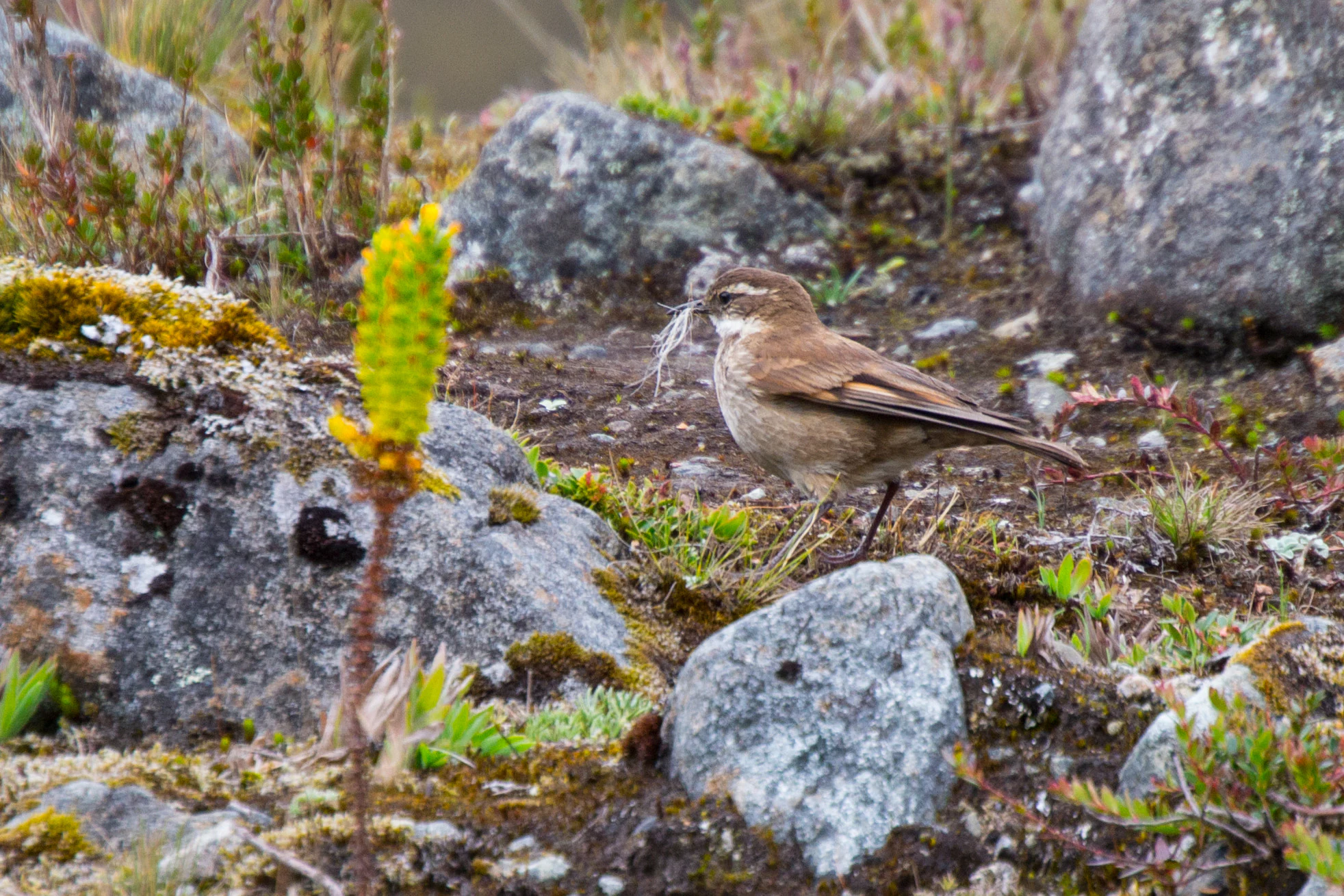
The avifauna of Cajas is one of its strongest draws for researchers and visitors, with about 152 bird species recorded. Raptors such as caracaras and the Andean condor soar above the paramo, while the plate-billed mountain toucan, hummingbirds, and various ducks are resident in or near the lakes. Several species are classified as threatened, and the abundance of lakes and wetlands makes Cajas an important stopover and habitat area for migratory waterbirds, a quality that contributed to its recognition as a Ramsar site.
In addition to native fauna, the park is well known for its trout fishing in rivers and lakes, following introductions that began in the 1940s. While popular among recreational fishers, the presence of non-native trout is part of the park's broader ecological context and an example of how historical management decisions continue to shape the modern ecosystem.
Cajas National Park conservation status and protection priorities
Cajas is fundamentally a conservation park built around hydrology and highland ecosystems. Its roughly 29,389 hectares preserve one of Ecuador's most important páramo complexes, linking the northern Andean páramo ecoregion with montane forest ecosystems and protecting both a large biodiversity reservoir and a critical freshwater source. The Río Tomebamba, Río Mazán, Río Yanuncay, and Río Migüir all originate in the park, supplying drinking water to Cuenca and feeding the Paute hydroelectric complex, which provides electricity to much of Ecuador. The 2002 Ramsar designation recognized this dual role of providing water and supporting migratory waterbirds.
The park's conservation agenda also addresses long-running pressures from grazing, agricultural burning, and historical land use. Restoration work has involved replanting native grasses and Polylepis trees in degraded areas to stabilize soils and recover habitat structure. Protection of peatlands and cushion bogs is particularly important because these systems store organic carbon and regulate downstream flow. As a core zone of the Macizo del Cajas UNESCO Biosphere Reserve established in 2013, the park is integrated into a broader conservation strategy that combines strict protection with surrounding land uses designed to maintain the park's hydrological and ecological integrity.
Cajas National Park cultural meaning and human context
The cultural landscape of Cajas is closely tied to pre-Hispanic Andean routes and to the modern identity of Cuenca. The Cañari, who inhabited the region between roughly 500 and 1450 CE, considered the lakes, mountains, and páramo of Cajas sacred, and the area remained an important ritual and territorial landscape until the Inca expansion. The Inca road system, the Qhapaq Ñan, crossed the park, linking the highland capital of Tomebamba with the coastal tambo of Paredones near Molleturo, and pre-Inca and Inca structures, stone staircases, and tambo foundations survive especially around the Laguna Taitachungo or Mamamag and the Cueva de Luspa.
Later European exploration reached Cajas with figures such as Alexander von Humboldt, whose descriptions from around 1878 helped introduce the area to a broader scientific audience. In contemporary Ecuador, Cajas is closely associated with the regional identity of Cuenca and Azuay, providing both a recreational outlet for urban residents and a tangible link to the deeper Andean heritage of the southern highlands.
Top sights and standout views in Cajas National Park
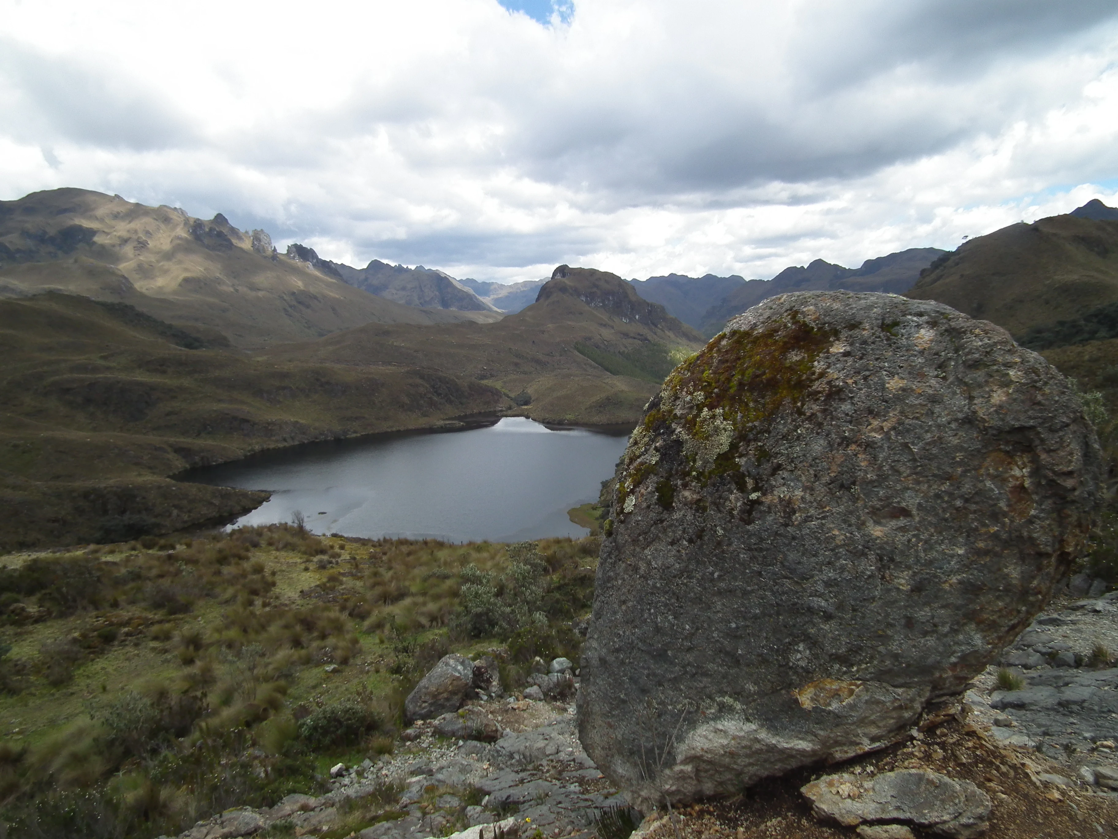
One of the densest concentrations of glacial lakes in the Ecuadorian Andes, with more than 235 well-defined lakes and over a thousand water bodies. A páramo ecosystem that anchors the drinking water supply of Cuenca and the Paute hydroelectric complex, giving the park national-scale hydrological importance. Recognition as a Ramsar Wetland of International Importance in 2002 and as the core area of the Macizo del Cajas UNESCO Biosphere Reserve established in 2013. A highland setting that blends páramo grasslands with Polylepis woodlands, cushion bogs, and montane cloud forests along its margins. A registered avifauna of around 152 species, including migratory waterbirds and threatened highland species such as the Andean condor and plate-billed mountain toucan. Remains of the Inca Qhapaq Ñan road network, with approximately 4 kilometers of restored trail and pre-Hispanic tambo foundations within the park. Occasional winter snowfalls between July and September that transform the green páramo into an unusually highland-white landscape near the equator.
Best time to visit Cajas National Park
Cajas can be visited year-round, but conditions vary substantially with season. The drier and comparatively warmer months tend to be August and January, with daytime temperatures of roughly 12 to 18 degrees Celsius and nighttime averages near 8 degrees Celsius, offering clearer views of the lakes and páramo. This window is often preferred for hiking, photography, and birdwatching.
Between July and September snowfall is more frequent, and the rest of the year brings persistent drizzle, fog, and cooler temperatures that can fall below zero at night. Winter conditions, generally associated with the wettest months, can drop daytime maxima to around 10 degrees Celsius and limit visibility on the lakes and ridges. Travelers interested in either the dramatic snowy landscape or quieter, lush-green views can adjust their timing accordingly, though visitors should always expect cool, changeable weather at this elevation.