Mori Atlas logo
Park earthquake history

A historical archive of epicentres and seismic data mapped to this protected New South Wales landscape

Recorded Earthquake History and Seismic Events Near Cambewarra Range Nature Reserve

Explore a curated catalogue of historical earthquake events that have occurred within proximity to Cambewarra Range Nature Reserve. Each record includes event date, magnitude, depth, and epicentre distance calculated relative to the park boundaries. This collection provides transparent access to documented seismic activity in the region for geographic and geological context.

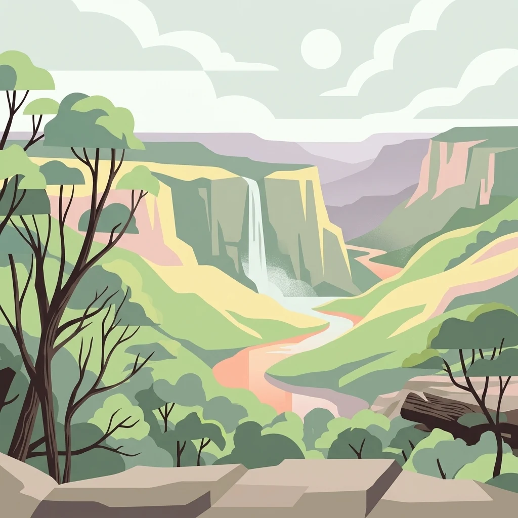
An artistic vector illustration showing a green valley with cliffs, a central waterfall, and a winding river under a pale sky.

A subtropical rainforest reserve on the cliffs and plateaus above Kangaroo Valley, New South Wales.

Cambewarra Range Nature Reserve

Cambewarra Range Nature Reserve is a protected nature reserve in New South Wales, Australia, sitting on the dramatic cliffs and plateaus that frame the upper Kangaroo Valley. It lies roughly between the Southern Highlands and the South Coast regions, about 150 kilometres south of Sydney, 50 kilometres southwest of Wollongong, and within reach of Nowra to the southeast. The reserve safeguards one of the larger remaining blocks of Illawarra-Shoalhaven subtropical and warm temperate rainforest in a landscape that has otherwise been heavily cleared for agriculture and rural settlement. The reserve is part of the Kangaroo Valley Group of Nature Reserves and forms a key piece of the broader green corridor around the valley, together with Kangaroo River, Barrengarry, and Rodway Nature Reserves, and the larger Morton and Budderoo National Parks. Its forests, heath shrublands, and rocky cliffs support threatened species such as the brush-tailed rock-wallaby and the spotted-tail quoll, while its creeks drain into the Kangaroo and Shoalhaven Rivers, which supply drinking water to communities across Sydney, the Illawarra, and the Shoalhaven.

Location
Australia
Park type
Nature reserve
Established
2001
Area
16.8 km²
Cambewarra Range Nature Reserve Protected Area Atlas

Trace Cambewarra Range Nature Reserve events by date, depth, place, and distance

Explore earthquake records near Cambewarra Range Nature Reserve

Cambewarra Range Nature Reserve’s earthquake set is arranged by reported epicentre and calculated reserve distance rather than assigned within its escarpment boundary. The catalogue retains timing, magnitude, depth, place label, separation, and source access for comparison without claiming range or forest impacts, seismic cause, present risk, or future activity.

Sort by
Magnitude
Location

This page describes catalogued earthquakes associated with the park by epicentre location and distance. It does not establish causation, assess current danger, or predict future earthquakes.

No earthquake records match the current filters

Park atlas

Broaden atlas discovery beyond Cambewarra Range Nature Reserve earthquake history

Explore other parks after Cambewarra Range Nature Reserve

From its subtropical cliffs and plateau forests, continue to a separate group of parks and reserves. Their appearance is not evidence of common range geography, habitat, protection status, seismic history, or source depth.
National parkAustralia
0.3 km away#1 closest

Southwest

Bugong National Park: Protected Landscape Identity and Geographic Context in Australia

Discover unique biodiversity, forest habitats, and regional terrain.

Bugong National Park stands as a vital strict nature reserve within Australia's protected lands. Its distinct geography features a plateau below the Cambewarra range and steeply sloping valleys carved by waterways like Bugong Creek and the Shoalhaven River. This protected area is crucial for conserving significant biodiversity, including endemic and threatened species, across its diverse wet and dry forest habitats. For those interested in atlas exploration, Bugong National Park offers a clear example of landscape conservation and protected area geography within New South Wales.

Area
10.22 km²
Established
2001
IUCN
Ia
Relief
Mixed relief
Watercolor landscape illustration showing green fields, trees, hills, and pastel sky
National parkNew South Wales
0.5 km away#2 closest

Southwest

Morton National Park: A Protected Landscape of Waterfalls and Dissected Plateaus in New South Wales

Explore its mapped boundaries and regional geographic context.

Morton National Park is a nationally recognized protected area within New South Wales, Australia, celebrated for its striking natural features and geographic significance. The park's landscape is characterized by a dramatic dissected plateau, giving rise to impressive waterfall systems such as Fitzroy Falls and Belmore Falls that cascade into deep gorges. As a key component of the Southern Highlands' natural heritage, Morton National Park provides a rich subject for atlas exploration, offering insights into regional terrain, protected land distribution, and the unique interplay of natural elements within this Australian national park.

Area
1,997.45 km²
Established
1967
IUCN
II
Relief
Mixed relief
National parkNew South Wales
3.7 km away#3 closest

Northeast

Budderoo National Park: Protected Landscape Exploration in New South Wales

Mapping the protected area and its regional geographic context.

Gain a clear understanding of Budderoo National Park as a protected national park situated within New South Wales. This detail page focuses on its mapped geographic features and protected landscape characteristics, providing critical context for atlas-based discovery. Explore the park's position within the broader regional geography of Australia and appreciate its identity as a conservation landscape.

Area
72.19 km²
Established
1986
IUCN
II
Climate
Subtropical
Nature reserveNew South Wales
About 4.3 km away#4 closest

Northwest

Kangaroo River Nature Reserve: Protected Valley Landscapes in New South Wales

Mapping rainforest gullies and diverse forest ecosystems

Located in the heart of the Kangaroo Valley, this nature reserve protects a vital ecological corridor of sclerophyll forest and rainforest. Its distinct gully systems and volcanic soil pockets provide essential habitat, serving as a cornerstone of the broader Shoalhaven protected landscape network in southern New South Wales.

Area
1.26 km²
Established
2001
IUCN
Ia
Relief
Upland
Nature reserveNew South Wales
About 7.7 km away#5 closest

North

Barrengarry Nature Reserve: A Protected Forest Mosaic in New South Wales, Australia

Illawarra hinterland geography and forest ecosystem mapping

Barrengarry Nature Reserve protects a 21-hectare mosaic of warm temperate rainforest and eucalyptus forest. Situated near Kangaroo Valley, the area demonstrates complex habitat transition and serves as a significant site for threatened species conservation within the broader New South Wales ecological landscape.

Area
0.21 km²
Established
2001
IUCN
Ia
Scope
Terrestrial
A watercolor illustration showing a winding river curving through green rolling hills with scattered trees and a soft pastel pink and yellow sky
Nature reserveNew South Wales
8 km away#6 closest

Northeast

Barren Grounds Nature Reserve: Sandstone Heath and Escarpment Geography in New South Wales

An essential atlas profile of protected plateaus and bird habitat

Located on the high plateau of the Illawarra escarpment, Barren Grounds Nature Reserve protects a unique landscape of sandy soils, coastal cliff lines, and weathered rock formations. This nature reserve offers a distinct look into the ecological and geological character of the Southern Highlands, serving as a vital bird conservation hub within the New South Wales landscape.

Area
20.24 km²
Established
1956
IUCN
II
Relief
Upland
National parkNew South Wales
10 km away#7 closest

East

Seven Mile Beach National Park: New South Wales National Park, Coastal Delta & Bird Habitat Exploration

Explore the mapped terrain and protected landscapes of this significant Australian coastal park.

Seven Mile Beach National Park offers a fascinating case study in coastal geography and protected area management, situated within New South Wales, Australia. The park's landscape is defined by the Shoalhaven River delta, showcasing a unique environment of tidal flats, islands, and a substantial sand barrier. This ecosystem supports significant populations of migratory waders and seabirds, making it a noteworthy site for ornithological interest and broader conservation studies. Understanding this park's atlas representation reveals its distinct littoral rainforest and its role within the regional protected land network.

Area
8.981 km²
Established
1971
IUCN
II
Relief
Lowland
Nature reserveNew South Wales
About 12 km away#8 closest

East

Nameless Sylvan Reserve: A Protected Escarpment Rainforest in New South Wales

Geographic overview of this Illawarra nature reserve

Located in south-eastern New South Wales, Nameless Sylvan Reserve preserves a compact 54 hectare corridor of Illawarra Escarpment habitat. The landscape transitions from subtropical rainforest along Irwin Creek to cooler temperate rainforest on the higher slopes, representing a significant piece of the regional conservation mosaic near Berry.

Area
0.54 km²
Established
2007
IUCN
II
Relief
Mountain
MoriAtlas Explorer

Explore the Mapped Landscapes of Cambewarra Range Nature Reserve

Deepen your understanding of Cambewarra Range Nature Reserve by examining its unique escarpment geography and protected ecological boundaries. MoriAtlas provides detailed context on the volcanic and sedimentary features that define this significant New South Wales wilderness, illustrating its role within the wider regional conservation network.