Mori Atlas logo
Park earthquake history

Review documented seismic events, magnitudes, and epicentre distances associated with this protected landscape.

Historical Catalogue of Recorded Earthquakes Near Caralue Bluff Conservation Park in South Australia

Browse a detailed collection of historical earthquake records identified within the vicinity of Caralue Bluff Conservation Park on the Eyre Peninsula. This catalogue maps recorded seismic events by their epicentre location relative to the park boundary, offering a transparent view of regional activity patterns. Each entry provides technical data including event dates, magnitudes, and depths for researchers and geography enthusiasts studying the seismic history of South Australian protected lands.

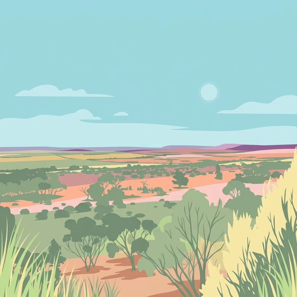
An illustration of an expansive landscape with rolling plains, sparse trees, and shrubs under a clear sky with a pale sun.

A small Eyre Peninsula conservation park protecting remnant vegetation around the Caralue Bluff.

Caralue Bluff Conservation Park

Caralue Bluff Conservation Park is a small protected area in South Australia, situated on the Eyre Peninsula in the gazetted locality of Caralue, roughly 24 kilometres south-west of the town of Kimba. The park covers an area of about 21.5 square kilometres on land that once formed part of the Caralue Bluff Water Conservation Reserve, and it preserves a tract of the upland landscape associated with the Caralue Bluff landform. Originally proclaimed as a conservation reserve in 1993 and later re-established under the state's National Parks and Wildlife Act in 2012, the park represents one of many modest Eyre Peninsula reserves designed to safeguard native vegetation and habitat from clearance and degradation associated with agricultural land use. Its IUCN Category VI designation reflects a management approach that allows sustainable use of natural resources alongside conservation objectives. Although compact in size, the conservation park contributes to the broader network of protected bushland on the Eyre Peninsula and is named for the geological feature that anchors its identity, Caralue Bluff, which lies just to the south-west of the protected area boundary.

Location
Australia
Park type
Nature reserve
Established
1993
Area
21.6 km²
Caralue Bluff Conservation Park Geography

Place regional reports around the Eyre Peninsula reserve

Caralue Bluff Conservation Park earthquake evidence

For Caralue Bluff Conservation Park, earthquake entries are associated through reported epicentres and their measured distance from the reserve, not by an unsupported boundary assignment. Dates, magnitudes, depths, locality descriptions, separation values, and source links let readers evaluate the regional record while keeping the bluff landscape distinct from seismic cause or effect.

Sort by
Magnitude
Location

This page describes catalogued earthquakes associated with the park by epicentre location and distance. It does not establish causation, assess current danger, or predict future earthquakes.

No earthquake records match the current filters

Park atlas

Broaden atlas discovery beyond Caralue Bluff Conservation Park earthquake history

Explore further protected parks after Caralue Bluff Conservation Park

The atlas then moves from this small Eyre Peninsula remnant to other protected places chosen independently. Their inclusion does not signal comparable bluff terrain, vegetation, conservation status, seismic history, or research depth.
Nature reserveSouth Australia
About 16 km away#1 closest

South

Carappee Hill Conservation Park: Atlas and Geographic Protected Area Profile

Nature reserve geography and Eyre Peninsula landscape context

Carappee Hill Conservation Park covers 8.5 square kilometres of rocky, elevated terrain in the locality of Darke Peak. As a designated conservation area and IUCN Category III site, it serves as a critical refuge for native vegetation, providing a clear map of protected landform heritage in central South Australia.

Area
8.5 km²
Established
1973
IUCN
III
Relief
Upland
Wildlife reserveSouth Australia
16 km away#2 closest

South

Darke Range Conservation Park: A Protected Woodland Sanctuary in South Australia

Geographic landscape and regional habitat exploration

Located near Darke Peak, this wildlife reserve safeguards threatened native peppermint gum woodland. The park functions as an ecologically significant pocket of intact vegetation, providing a window into the natural ridge terrain of the Eyre Peninsula that remains distinct from the surrounding rural land.

Area
6.93 km²
Established
1985
IUCN
VI
Relief
Mountain
Wildlife reserveSouth Australia
About 30 km away#3 closest

Southeast

Heggaton Conservation Park: A Protected Wildlife Reserve on the Eyre Peninsula

Mapping the semi-arid mallee woodlands of South Australia

Heggaton Conservation Park is a key wildlife reserve in South Australia that safeguards extensive mallee forest and Melaleuca shrubland. This protected area provides an essential, relatively undisturbed habitat for Malleefowl and various rare plant species within the broader Eyre Peninsula landscape.

Area
64.76 km²
Established
1993
IUCN
VI
Relief
Lowland
State or regional parkSouth Australia
About 50 km away#4 closest

Northwest

Corrobinnie Hill Conservation Park: Mapped Protected Landscapes and Geological Features

A remote conservation site on the Eyre Peninsula

Corrobinnie Hill Conservation Park protects an exceptional granite outcrop that stands as a natural monument within the South Australian landscape. The site is characterized by its weathered rock formations and its geographic connection to the broader Pinkawillinie conservation estate, offering insight into the geological diversity of remote Eyre Peninsula pastoral country.

Area
2.08 km²
Established
1983
IUCN
III
Relief
Upland
National parkSouth Australia
61 km away#5 closest

Northwest

Gawler Ranges National Park: South Australia's Mapped Protected National Landscape

Explore the geography and protected area context of this national park.

Gawler Ranges National Park stands as a significant protected area within the geographic expanse of South Australia. Designated as a national park, it offers valuable insights into Australia's conservation landscapes and regional geography. Users can explore its mapped boundaries and understand its unique role within the national park system, making it a key point for structured geographic study and atlas-based discovery of protected lands.

Area
1,628.75 km²
Established
2002
IUCN
VI
Relief
Mountain
Wildlife reserveSouth Australia
74 km away#6 closest

Southwest

Hincks Conservation Park: Protected Wildlife Reserve in South Australia

Mapping regional biodiversity and conservation landscapes

Hincks Conservation Park functions as a key protected area within the semi-arid coastal hinterland of the Eyre Peninsula. This reserve preserves an essential fragment of native vegetation against a surrounding backdrop of agricultural development. The site highlights the importance of managed land corridors in maintaining ecological connectivity across the central-eastern reaches of South Australia.

Area
8.78 km²
Established
1941
IUCN
VI
Relief
Lowland
Protected landscapeSouth Australia
About 75 km away#7 closest

East

Ironstone Hill Conservation Park: Geography and Protected Land Map Overview

An essential protected landscape in the Eyre Peninsula of South Australia.

Ironstone Hill Conservation Park protects fragile sandy dune systems and dense mallee vegetation within an arid zone. This conservation area acts as a vital link in the regional natural network, neighboring both private reserves and active mineral-bearing ranges. The park provides an essential study of semi-arid terrain and rare species habitat in the heart of the Eyre Peninsula.

Area
196.5 km²
Established
2010
IUCN
VI
Relief
Upland
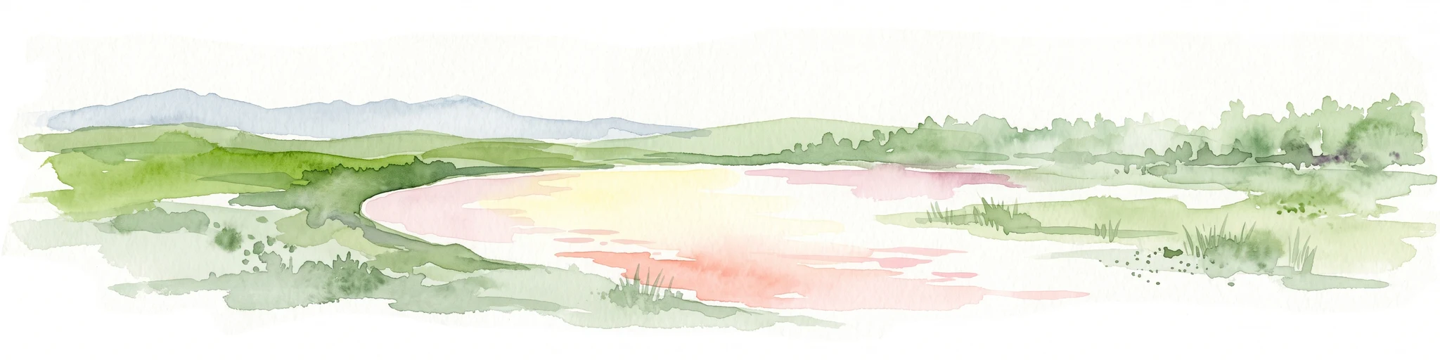
A horizontal watercolor illustration of a coastal landscape with pale pink water, green marshy shorelines, and distant soft blue hills against a white background.
Nature reserveSouth Australia
80 km away#8 closest

Southeast

Franklin Harbor Conservation Park: Coastal Nature Reserve and Eyre Peninsula Protected Geography

Coastal conservation park and island habitat system in South Australia

This nature reserve protects rare mangrove and samphire flat associations along the eastern coast of the Eyre Peninsula. The geography encompasses a sheltered peninsula and four islands within the harbor, forming an essential maritime habitat for seabirds and reptiles in the South Australian coastal landscape.

Area
13.56 km²
Established
1976
IUCN
Ia
Relief
Lowland
MoriAtlas Explorer

Explore the Mapped Landscapes of Caralue Bluff Conservation Park

Trace the boundaries and geographic footprint of Caralue Bluff Conservation Park through the MoriAtlas platform. Gain deeper insight into how this South Australian nature reserve contributes to regional conservation and land preservation on the Eyre Peninsula.