
Why Chattahoochee River National Recreation Area stands out
The park's defining identity is its ability to bring a substantial stretch of wild-feeling river, forest, and rock bluffs directly into the heart of one of the largest metropolitan areas in the American Southeast. Visitors come for the rugged palisades cliffs, the shoals and cascades along the river, the network of tributary creeks such as Sope Creek and Vickery Creek, and the remarkably accessible trout fishing in a river running through the suburbs of Atlanta. Equally important is the layered industrial and Civil War history preserved along the corridor, from the ruins of Marietta Paper Mill and Ivy Mill to the historic ferry crossings used by Sherman's troops. The recreation area's status as the country's first National Water Trail further defines its profile as a flagship for urban-adjacent river recreation and stewardship.
Chattahoochee River National Recreation Area history and protected-area timeline
The Chattahoochee River National Recreation Area was established on August 15, 1978, by President Jimmy Carter. Its creation reflected growing concern during the 1970s about preserving public access to the Chattahoochee as suburban development rapidly expanded outward from Atlanta. By stitching together federal holdings along both banks of the river between the city and Lake Sidney Lanier, the new unit ensured that a continuous 48-mile stretch of river and adjacent land would remain open to the public in perpetuity.
Long before the park existed, the river corridor was shaped by industry and conflict. Mills powered by the river and its tributaries processed cotton and wool from the early 19th century onward, producing materials for both civilian markets and, during the Civil War, for the Confederate military. The Ivy Mill produced fabric for Confederate soldiers and was destroyed by Union forces in 1864, after which many of its women workers were sent north for the duration of the war. Union troops also used crossings such as Power's Ferry, established in 1835 by James Power, during Sherman's 1864 campaign. The remains of these operations, including mill foundations, millraces, the 1853 Roswell Mill Machine Shop, and the 1857 Allenbrook House, are now preserved within park units.
In the 20th century, recreational use of the river grew alongside suburban expansion. The 1978 federal designation formalized that informal tradition of public enjoyment and gave it a management framework under the National Park Service. In 2012, the recreation area was designated as the Chattahoochee River Water Trail under the National Water Trails System created by the U.S. Department of the Interior, becoming the first river in the country to receive this recognition. In 2014, it received the Award for Outstanding Service to Environmental Education from the Georgia Environmental Education Association, an affiliate of the North American Association for Environmental Education.
Chattahoochee River National Recreation Area landscape and geographic character
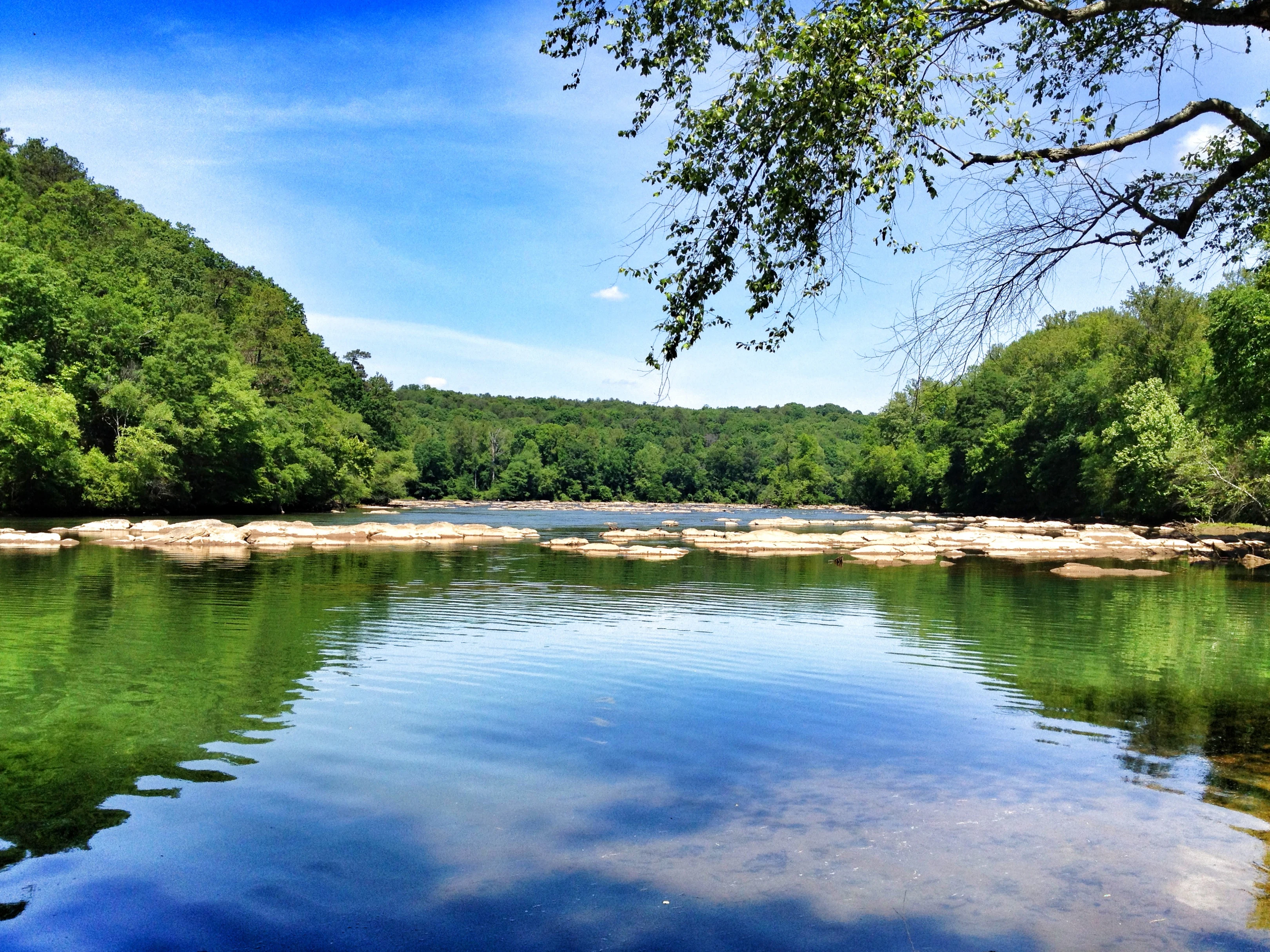
The landscape of the Chattahoochee River National Recreation Area is defined by the long, north-south reach of the Chattahoochee River itself and the varied terrain that rises from its banks. In the southern units near Atlanta, the river cuts past steep palisade cliffs of exposed rock that rise abruptly from the narrow flood plain, giving the East and West Palisades units their dramatic vertical profile. These bluffs back a thin band of flood plain forest before the terrain climbs into the rolling, heavily wooded uplands of the Georgia Piedmont.
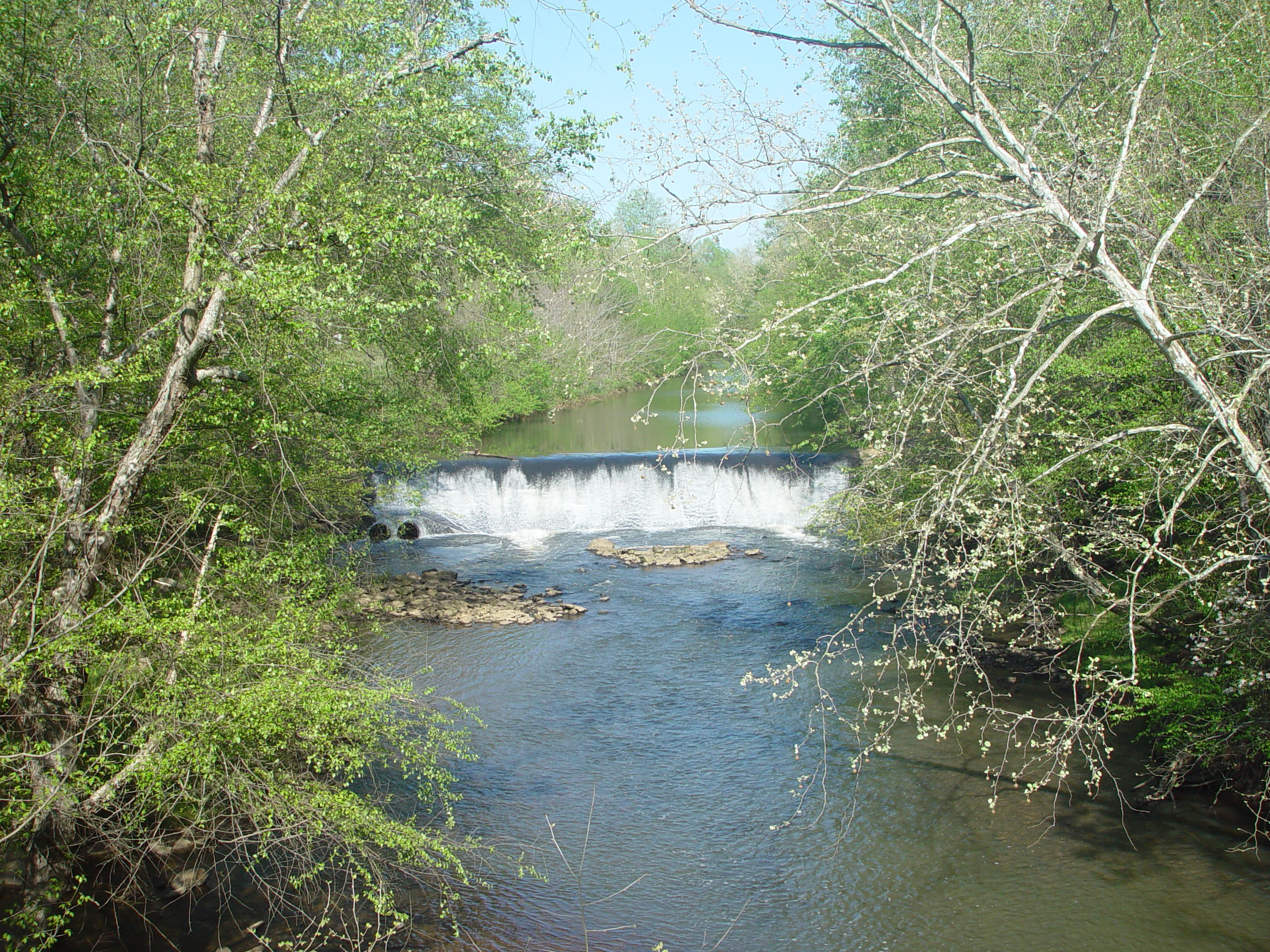
Further north, the river's character softens. Wide shoals such as those near Island Ford create long, shallow cascades over bedrock, while side tributaries like Sope Creek, Vickery Creek, and Rottenwood Creek descend through smaller gorges, sometimes tumbling over low dams and bedrock drops. In the Vickery Creek unit, for instance, the creek flows from Grimes Bridge Road down to the Chattahoochee between wooded slopes and historic mill sites. Near the northern end of the recreation area, the river broadens and slows as it approaches its impoundment behind Lake Sidney Lanier.
This landscape pattern of cliff-edged river, broad shoals, tributary gorges, and Piedmont forest gives the recreation area a strong sense of physical continuity despite being split into many small land units. The visual transition from urban skyline to shaded river corridor is often abrupt, and the corridor's narrowness contributes to the feeling of traveling through a green crevice in the metropolitan area.
Chattahoochee River National Recreation Area ecosystems, habitats, and plant life
Ecologically, the recreation area protects a representative cross-section of the Georgia Piedmont river ecosystem. The river corridor is lined with a mix of hardwood forest, occasional pine stands, and bottomland vegetation along the flood plain, with denser canopy cover on the bluff slopes and along tributary creeks. These forested buffers help shade the river, stabilize banks, and provide habitat for wildlife that moves between the water and the surrounding woodland.
Wetlands, backwaters, and seasonal flood plain pools contribute to the habitat diversity of the corridor. Tributaries such as Sope Creek and Vickery Creek each carry their own microhabitats of shaded pools, rocky runs, and forest seepage areas, while the main river's shoals and pools create distinct aquatic zones.
The protected corridor also plays a vital role in the broader Chattahoochee watershed, which supplies drinking water to a large portion of metropolitan Atlanta. By limiting development along this stretch of the river and adjacent uplands, the recreation area helps protect water quality and supports the ecological functions of the watershed even as the surrounding region continues to urbanize rapidly.
Chattahoochee River National Recreation Area wildlife and species highlights
The mix of river, riparian forest, and Piedmont uplands supports an active wildlife community typical of north Georgia. White-tailed deer are commonly seen along the trail corridors, as are raccoons, opossums, gray foxes, and various small mammals that thrive in the fragmented but well-vegetated habitat. Reptiles and amphibians, including turtles and several snake species, inhabit the riverbanks and side-stream pools.
Birdlife is a particular highlight. The recreation area's forests, edges, and water features attract songbirds, woodpeckers, raptors, and waterbirds year-round, and the Cochran Shoals fitness trail and similar corridors are noted as excellent bird- and wildlife-watching sites. Seasonal migrations bring additional species through the river valley in spring and fall.
In the river itself, the Chattahoochee supports a varied freshwater community. As a stocked trout stream with 23 documented species of game fish, it draws anglers as well as wildlife observers, and its mix of trout, bass, and other native and introduced fish reflects both natural habitat and active fisheries management.
Chattahoochee River National Recreation Area conservation status and protection priorities
The recreation area's central conservation role is preserving an intact, publicly accessible stretch of the Chattahoochee River in a region facing intense suburban growth. By holding roughly 10,000 acres of land along a 48-mile river segment in federal protection, it maintains a forested buffer that would otherwise be highly vulnerable to development pressure from the expanding Atlanta metropolitan area.
The protection of this corridor is also critical for water quality and watershed health, since the Chattahoochee is a major source of drinking water for the region. The 2012 designation of the river as a National Water Trail underscored both its recreational value and its status as a model for community-based stewardship and water-based conservation. National Park Service rangers patrol the river and trail units to enforce regulations, manage visitor use, and protect resources.
Recognition such as the 2014 Award for Outstanding Service to Environmental Education reflects the recreation area's broader role in environmental education, connecting urban audiences with river ecology and conservation. The combined effect of federal protection, active management, and educational programming gives the recreation area significance that extends well beyond its modest acreage.
Chattahoochee River National Recreation Area cultural meaning and human context
The river corridor carries deep historical and cultural resonance for the Atlanta region. Long before it became a recreational resource, the Chattahoochee powered an early industrial economy built on textile mills, with operations such as the Roswell Manufacturing Company and various wool and paper mills shaping both the local economy and the built landscape. Ruins from this era are preserved within the park at Marietta Paper Mill, Akers Mill, Ivy Mill, and Roswell Mill.
The corridor also played a direct role in the Civil War. Power's Ferry, established in 1835, was used by units of General Sherman's army in July 1864, Ivy Mill produced supplies for Confederate forces before being destroyed by Union troops, and the women's workforce at Ivy Mill was relocated north for the duration of the conflict. The Allenbrook House, completed in 1857, reflects the antebellum architecture associated with the mill manager's family.
In the modern era, the recreation area has become a cultural touchstone for Atlanta-area residents, weaving into the daily life of surrounding communities through jogging, cycling, fishing, paddling, tubing, and family outings. Its identity as a neighborhood river park as much as a national site gives it a distinctive cultural place in the region.
Top sights and standout views in Chattahoochee River National Recreation Area
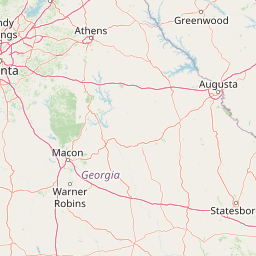
The first National Water Trail in the United States, designated in 2012 along the Chattahoochee River corridor. A 48-mile stretch of river and roughly 10,000 acres of adjoining parkland threaded through the metropolitan Atlanta region. Dramatic palisade cliffs at East and West Palisades, broad shoals near Island Ford, and rugged tributary gorges at Sope Creek and Vickery Creek.
Preserved Civil War and industrial-era sites including the Marietta Paper Mill ruins, Akers Mill ruins, Ivy Mill ruins, Allenbrook House, and the Roswell Mill Machine Shop. Recreationally rich, with a 3-mile wheelchair-accessible fitness trail at Cochran Shoals, multiple trail heads along the river, and a stocked trout fishery supporting 23 game fish species.
Best time to visit Chattahoochee River National Recreation Area
Spring and fall are generally the most comfortable seasons for visiting the Chattahoochee River National Recreation Area, with mild temperatures favoring hiking, jogging, cycling, and birdwatching along the trail corridors. Spring brings active foliage, wildflowers in the understory, and an influx of migratory birds through the river valley, while fall offers cooler weather for extended trail use and colorful hardwood canopy.
Summer is the peak season for water-based recreation, particularly tubing from Powers Island downstream toward Paces Mill, as well as swimming, canoeing, and rafting in warmer river stretches, though high heat and humidity are common. Winter tends to be quieter and can produce crisp, low-humidity days suitable for徒步 and longer-distance trail exploration. Because recreational use is intense and year-round, visitors who prefer calmer conditions often target shoulder seasons and weekday mornings.