A 48-mile stretch of the Chattahoochee River winding through the Atlanta metropolitan region.
Chattahoochee River National Recreation Area
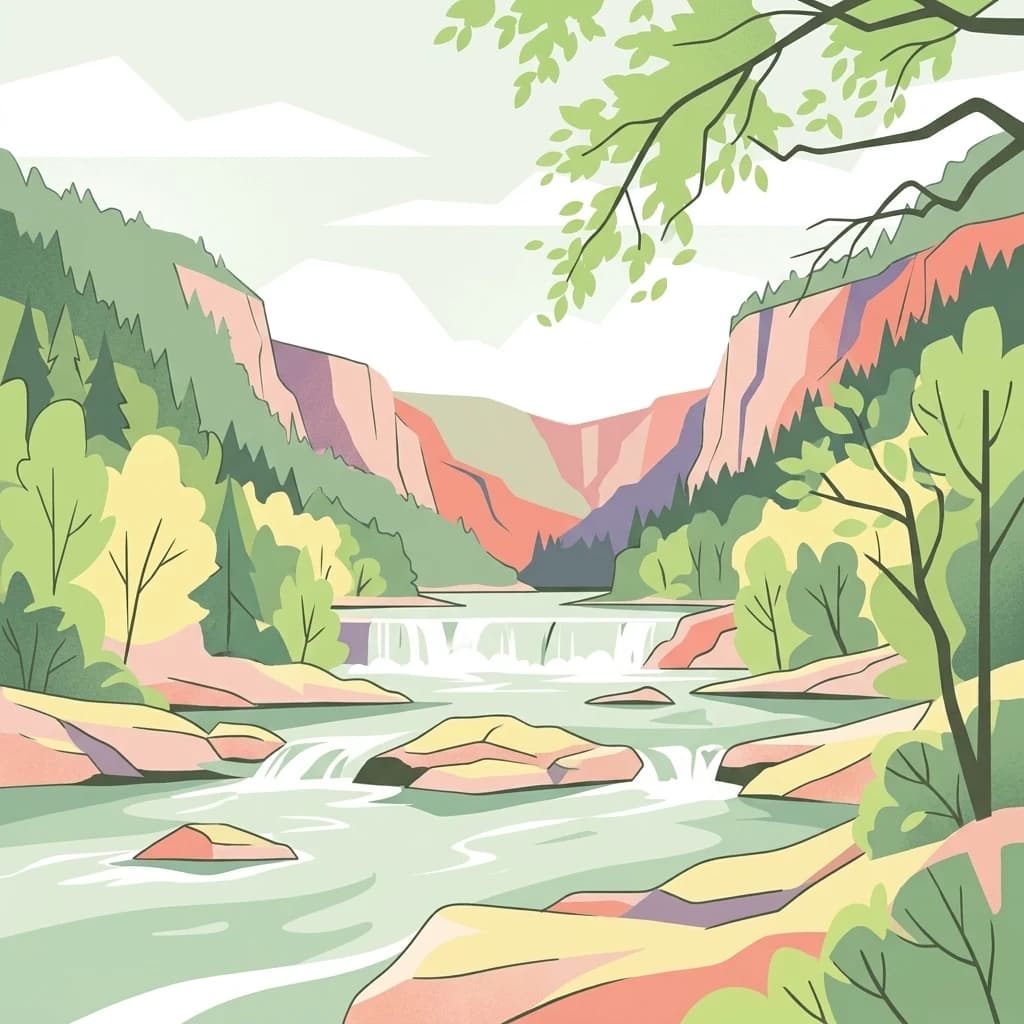
The Chattahoochee River National Recreation Area preserves a 48-mile stretch of the Chattahoochee River and adjoining land between the city of Atlanta and Lake Sidney Lanier in northern Georgia. Managed by the National Park Service, the recreation area protects a series of park units that weave through some of the fastest-growing suburbs in the United States, offering a green corridor of forests, shoals, tributaries, and rock bluffs alongside an urban river.
The area was established on August 15, 1978, by President Jimmy Carter to safeguard public access to the river, preserve historic industrial and Civil War sites along its banks, and provide outdoor recreation opportunities close to metropolitan Atlanta. In 2012, it was designated as the Chattahoochee River Water Trail, becoming the first river in the country to be named a National Water Trail.
Today, the Chattahoochee River National Recreation Area is one of the most heavily used units in the National Park System, drawing millions of visitors each year for hiking, fishing, paddling, tubing, and wildlife observation. Its combination of natural river scenery, remnant ruins of 19th-century mills, and easy access from the city makes it both a recreational anchor and a preservation success story in the Southeastern United States.