Mori Atlas logo
Park earthquake history

Review a catalogue of recorded seismic events associated by epicentre proximity to the Muschelkalk cliffs.

Historical Earthquake Records and Seismic Activity Near Creuzburger Werratal-Hänge in Thuringia

The earthquake history for Creuzburger Werratal-Hänge brings together a structured collection of seismic events recorded near this protected limestone landscape. Each entry provides event details including magnitude, focal depth, and calculated distance from the Werra valley terrain, offering insight into the regional seismic activity patterns observed across this Thuringian nature reserve.

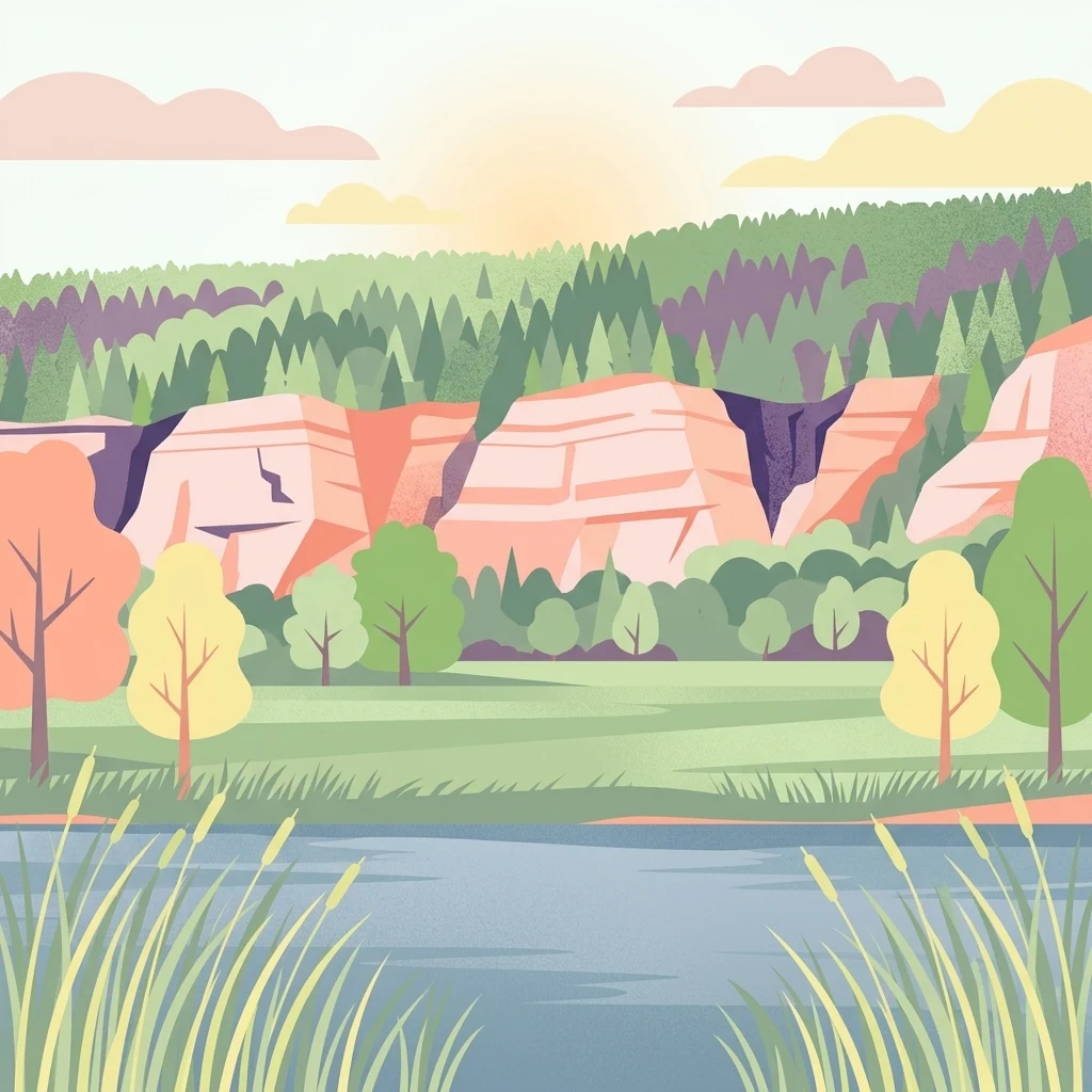
A digital illustration of a landscape with a river in the foreground, bordered by tall grasses. In the midground, there are trees and a meadow, and in the background, steep light-colored cliffs rise beneath a soft sunset sky with green forest on the slopes.

A Natura 2000 limestone cliff landscape along the Werra river in Thuringia, protecting rare orchid-rich dry grasslands and ancient beech forests.

Creuzburger Werratal-Hänge

Creuzburger Werratal-Hänge is a protected landscape in the western Thuringian Wartburgkreis, along the steep Muschelkalk (shell limestone) cliffs of the Werra valley near the town of Creuzburg. The site brings together three previously separate nature reserves: Lienig, Klosterholz und Nordmannssteine, and Ebenauer Köpfe und Wisch, which were combined into a single European Fauna-Flora-Habitat (FFH) area under the Natura 2000 network. The protected area is shaped by the dramatic canyon-like valley that the Werra has carved through the Muschelkalk escarpment of the Thuringian Basin, producing steep, rocky south- and west-facing slopes and a mosaic of nutrient-poor habitats. These harsh, warm, dry slopes support a fine-grained pattern of calcareous dry grasslands, rock-pioneer vegetation, juniper heath, and orchid-rich beech forest, while the cooler shaded ravines and gullies retain moisture-loving mixed forests rich in geophytes. Creuzburger Werratal-Hänge is especially notable for its flora: around twenty orchid species have been recorded across the dry grasslands and forest edges, including the Lady's Slipper orchid, several Ophrys species, and a number of nationally or regionally rare mosses and lichens growing directly on the Muschelkalk rock faces. Above its ecological value, the area forms a striking scenic backdrop for hiking and cycling within the larger Eichsfeld-Hainich-Werratal Nature Park, where the former Werratal railway line is now part of the popular Werratal cycle route.

Location
Germany
Park type
Nature reserve
Established
2000
Area
1.5 km²
Highest point
376 m
Creuzburger Werratal-Hänge Protected Area

Inspect Creuzburger Werratal-Hänge dates, depths, places, and distances

Review recorded earthquakes around Creuzburger Werratal-Hänge

Creuzburger Werratal-Hänge packs forest, grassland, rivers, lakes, cliffs, caves, and karst into 1.47 km² of German terrain rising from 198 to 376 metres. The associated earthquake records add regional chronology and location evidence—magnitude, depth, epicentral label, distance, and source—without demonstrating effects on the valley slopes or present seismic danger.

Sort by
Magnitude
Location

This page describes catalogued earthquakes associated with the park by epicentre location and distance. It does not establish causation, assess current danger, or predict future earthquakes.

No earthquake records match the current filters

Park atlas

Expand discovery beyond the Creuzburger Werratal-Hänge earthquake catalogue

Find more protected parks after Creuzburger Werratal-Hänge

Creuzburger Werratal-Hänge packs cliffs, forest, grassland, water, caves, and karst into 1.47 km² between 198 and 376 metres. Other park links lead to distinct earthquake records and do not claim matching geology, consequences, hazard, or recurrence.
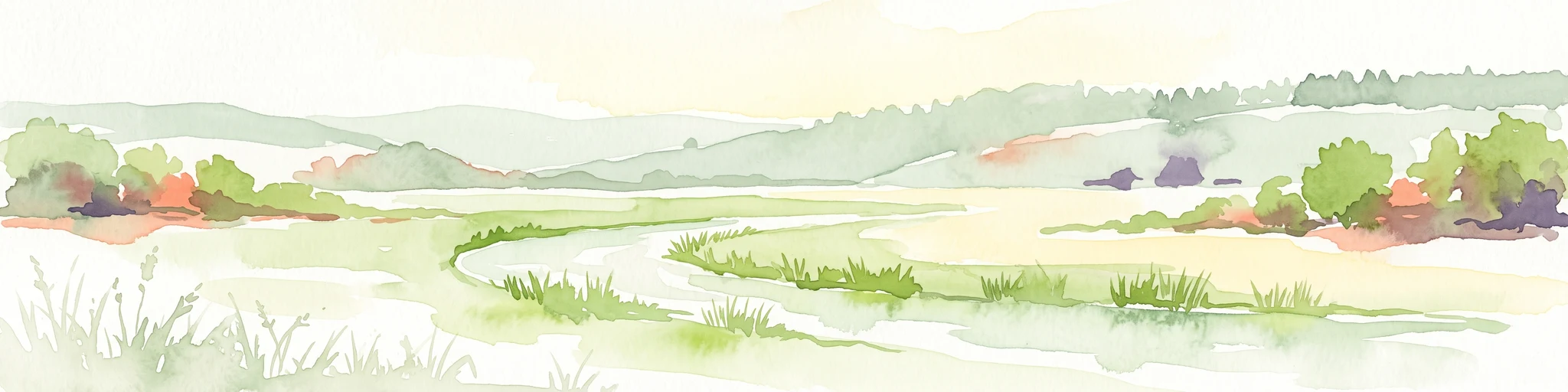
A soft watercolor painting showing a green landscape with a winding river and a prominent cliff face on the left, set against a white background.
Nature reserveWartburgkreis
Mapped location lies within the park boundary#1 closest

West

Ebenauer Köpfe und Wisch Protected Landscape Map and Regional Geography

Nature reserve featuring Muschelkalk cliffs in the Wartburgkreis district

Analyze the geological formation and ecological importance of Ebenauer Köpfe und Wisch. This nature reserve encompasses steep canyon slopes, rare calcareous dry grasslands, and ancient rock communities essential to the Werra valley network.

Area
0.797 km²
Established
1996
IUCN
IV
Relief
Upland
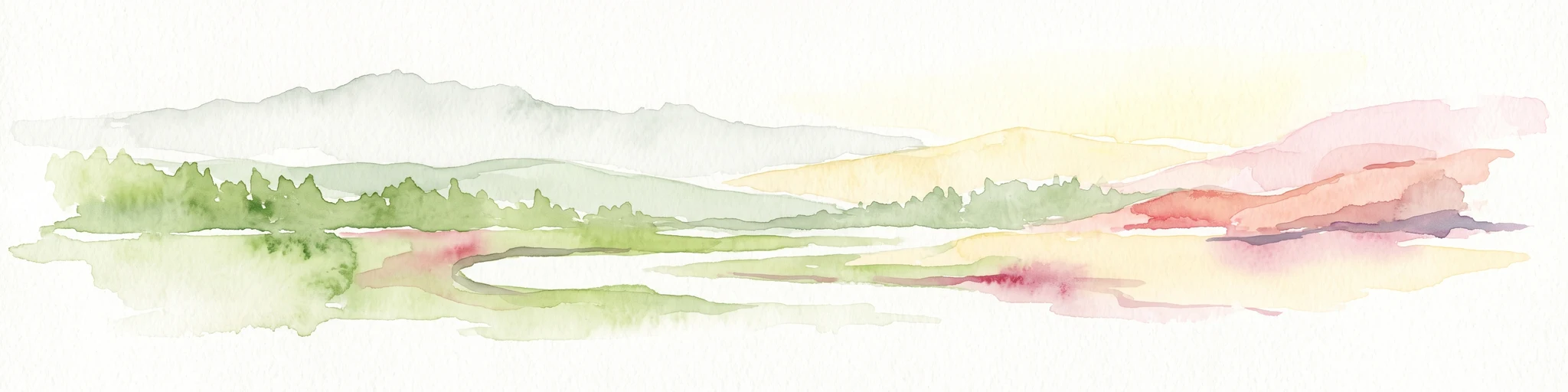
Watercolor illustration of a lush river valley with gently rolling hills and trees under a soft, light sky.
Nature reserveWartburgkreis
Mapped location lies within the park boundary#2 closest

South

Klosterholz und Nordmannssteine: Geography and Protected Area Landscape Context

Essential nature reserve mapping in the Wartburgkreis district

Klosterholz und Nordmannssteine is a significant nature reserve situated along the Werra river. This protected area features a striking vertical profile defined by exposed shell-limestone cliffs, diverse ravine forests, and remnants of industrial activity. It serves as a key site for calcareous flora and avian conservation within the broader ecological network of the Eichsfeld-Hainich-Werratal nature park region.

Area
1.395 km²
Established
1961
IUCN
IV
A soft watercolor painting of a river landscape with rolling green hills and gentle slopes.
Nature reserveWartburgkreis
Mapped location lies within the park boundary#3 closest

West

Lienig Nature Reserve: Protected Karst Forest Landscapes in the Wartburgkreis Region

A study of steep forested slopes and limestone gullies

Lienig acts as a crucial protected sanctuary for deciduous forest communities situated on the steep, north-facing slopes of the Werra valley. The terrain presents a complex geological profile defined by shell limestone bedrock, small-scale karst features, and deeply incised erosion ravines that support a rare assembly of spring geophytes and old-growth forest characteristics.

Area
0.225 km²
Established
1961
IUCN
IV
Relief
Upland
Nature reserveThuringia
Park boundaries overlap#4 closest

North

Werra bis Treffurt mit Zuflüssen: Protected River and Floodplain Network in Thuringia

Mapping an extensive 191 kilometer Natura 2000 river corridor.

The Werra bis Treffurt mit Zuflüssen protected area serves as a vital ecological corridor in Thuringia. This site encompasses a complex mosaic of fast-flowing highland brooks, expansive floodplain meadows, inland salt sites, and rare dissolution lakes. Its geography bridges high-altitude source regions with lower river valleys, creating a distinctive landscape transect that supports essential freshwater habitats and rare aquatic species across the state.

Area
22.6 km²
Established
2008
IUCN
IV
Relief
Mixed relief
Nature reserveThuringia
1.5 km away#5 closest

North

Werra-Aue zwischen Breitungen und Creuzburg: Protected Floodplain and River Geography

Nature reserve sanctuary in western Thuringia

Spanning over 33 kilometers of the Werra river, this protected floodplain is defined by its distinctive geological sinkholes, seasonal wetlands, and diverse bird habitats. Discover the layered conservation status and riparian terrain that mark this significant Thuringian nature reserve as a crucial node for European ecological connectivity.

Area
25.78 km²
Established
2007
IUCN
IV
Relief
Lowland
Nature reserveThuringia
About 2.2 km away#6 closest

Southwest

Wilhelmsglücksbrunn Nature Reserve and Werra Valley Protected Landscape Geography

A mapped overview of inland saline springs in Thuringia

The Wilhelmsglücksbrunn nature reserve preserves a rare inland saline ecosystem within the flat Werra floodplain of western Thuringia. This site sustains a complex landscape of reed beds, wet meadows, and brine-fed habitats that connect to the broader Green Band ecological corridor, providing essential staging grounds for diverse migratory bird populations.

Area
0.773 km²
Established
2000
IUCN
IV
Relief
Lowland
Nature reserveThuringia
2.2 km away#7 closest

North

Werrahänge von Frankenroda bis Falken: A Deep Dive into Thuringian Protected Landscapes

Mapping limestone river canyons and unique forest habitats in Wartburgkreis.

This protected area captures a distinct geomorphological intersection of river-cut canyons and plateau ridges in Thuringia. The site preserves an intense mosaic of juniper heath, dry grasslands, and ancient beech forests, functioning as a vital link for species conservation. Examine the mapped boundaries, karst features, and the sculptural topography formed by the Werra river as it winds through the Muschelkalk rim of the Thuringian Basin.

Area
5.69 km²
Established
1999
IUCN
IV
Relief
Upland
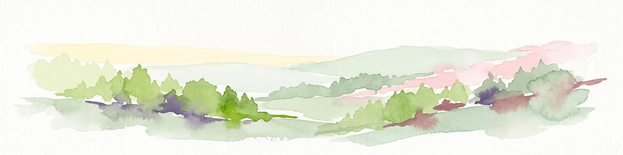
A wide watercolor painting depicting a landscape with green and purple trees and pale hills in the background.
Nature reserveGermany
About 4 km away#8 closest

North

Probsteizella Nature Reserve: A Geographical Overview of Limestone Cliffs and Forested Valleys in Germany

Mapping the Muschelkalk sequences and woodland habitats of the Werra valley.

Probsteizella is a distinctive nature reserve in Germany that showcases the dramatic geomorphology of the Werra valley. The site features the Falkener Klippen, an exposed limestone cliff face showing a full stratigraphic sequence, and the historic Bauernkanzel outcrop. This area supports a rich diversity of beech-woodland communities, providing a focused example of central German river valley protected terrain.

Area
0.269 km²
Established
1961
Relief
Upland
Climate
Temperate
MoriAtlas Explorer

Explore the Protected Geography of Creuzburger Werratal-Hänge

Continue exploring the intricate Muschelkalk formations and protected habitats of Creuzburger Werratal-Hänge. MoriAtlas provides detailed insight into this Thuringian nature reserve, mapping the transition from vertical river cliffs to rich, orchid-populated grasslands along the Werra valley.