
Mori Atlas logo
National parkDurmitor National Park

Discover the mapped geography and dramatic glacial terrain of this Balkan wilderness.

Durmitor National Park: Montenegro's Premier Protected Area & Alpine Landscape

Durmitor National Park represents a significant protected landscape in northern Montenegro, celebrated for its towering limestone peaks, deep glacial valleys, and pristine mountain lakes. This national park preserves one of the last great wilderness areas in the Balkans, offering a dramatic mountain environment shaped by millennia of glacial activity. Explore its rugged terrain, dense forests, and the iconic Tara River canyon, all mapped within this essential protected area.

Dinaric Alpsalpine mountainsglacial lakesmountain eyesriver canyonsTara Canyon

Durmitor National Park

National park

Park overview

Structured park overview, official facts, and landscape profile for Durmitor National Park

Durmitor National Park park facts, protected area profile, and essential visitor context

Review the core facts for Durmitor National Park, including designation, size, terrain, visitor scale, habitats, and operating context in one park-focused overview.

About Durmitor National Park

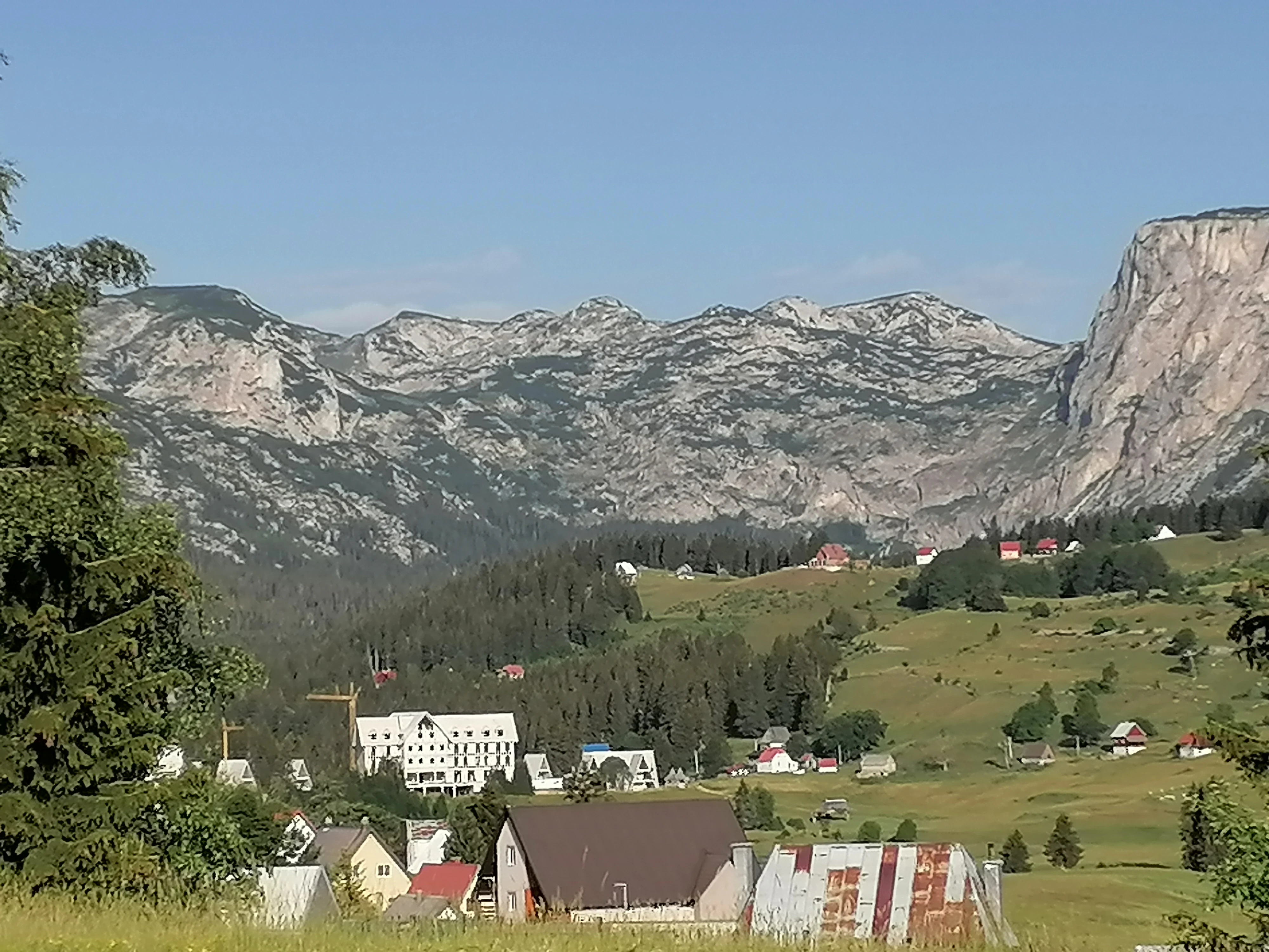
Durmitor National Park is the principal natural reserve of Montenegro and one of the defining protected landscapes of the broader Dinaric Alps region. Located in the country's northwest, the park is dominated by the Durmitor massif, a high limestone range whose tallest summit, Bobotov Kuk, rises to 2,523 meters. The massif is the park's central feature and includes 48 peaks above 2,000 meters, organized around the broad Jezerska površ plateau on its eastern side.

Beyond its mountain core, the park extends well into the surrounding river canyons. The Tara River Canyon on the north, the Piva River Canyon on the west, and the Komarnica River Canyon on the south frame the massif and are themselves protected within the national park boundary. Together these landforms give Durmitor an unusually varied profile for a relatively compact reserve: glaciated high country, forested mid-elevation slopes, sheer canyon walls, and quiet alpine lake basins all coexist within its borders.

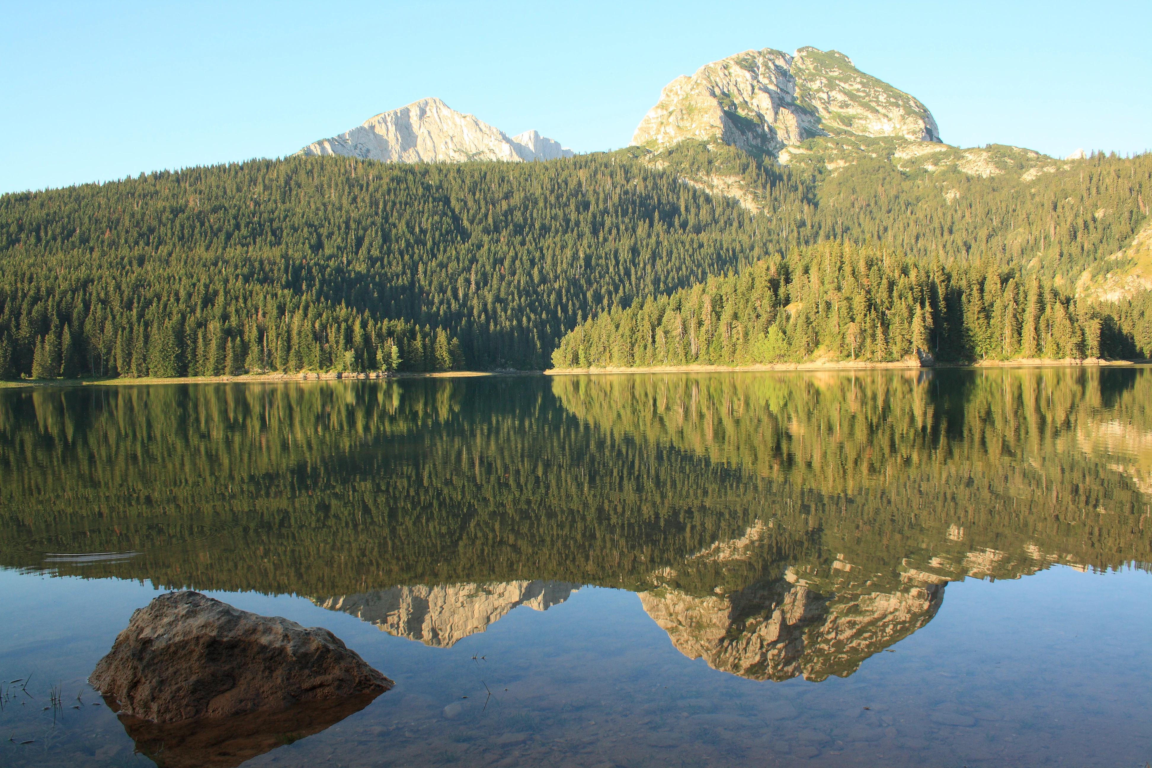
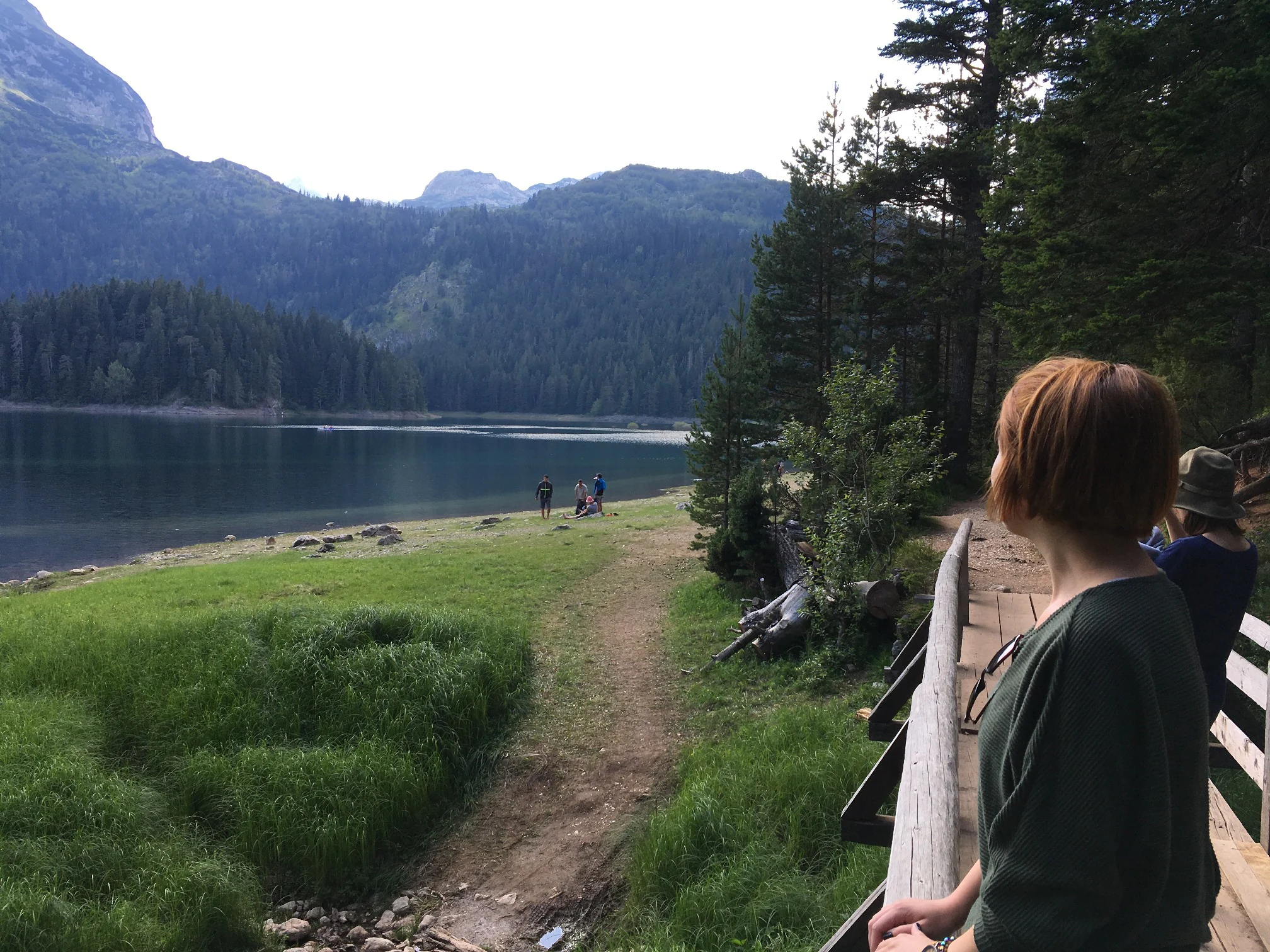
The park also contributes a striking freshwater dimension. Eighteen glacial lakes, locally known as Gorske Oči, sit in cirques and basins across the massif. Black Lake, near Žabljak, is the most visited and photographed, but the network includes many smaller lakes such as Veliko Škrčko, Malo Škrčko, Zeleni Vir, Jablan, Valovito, Srablje, Modro, Zminje, Barno, Pošćensko, Vražje, Riblje, and Sušičko, each contributing to the mosaic of mountain water bodies that has made Durmitor a regional landmark for scenic landscapes.

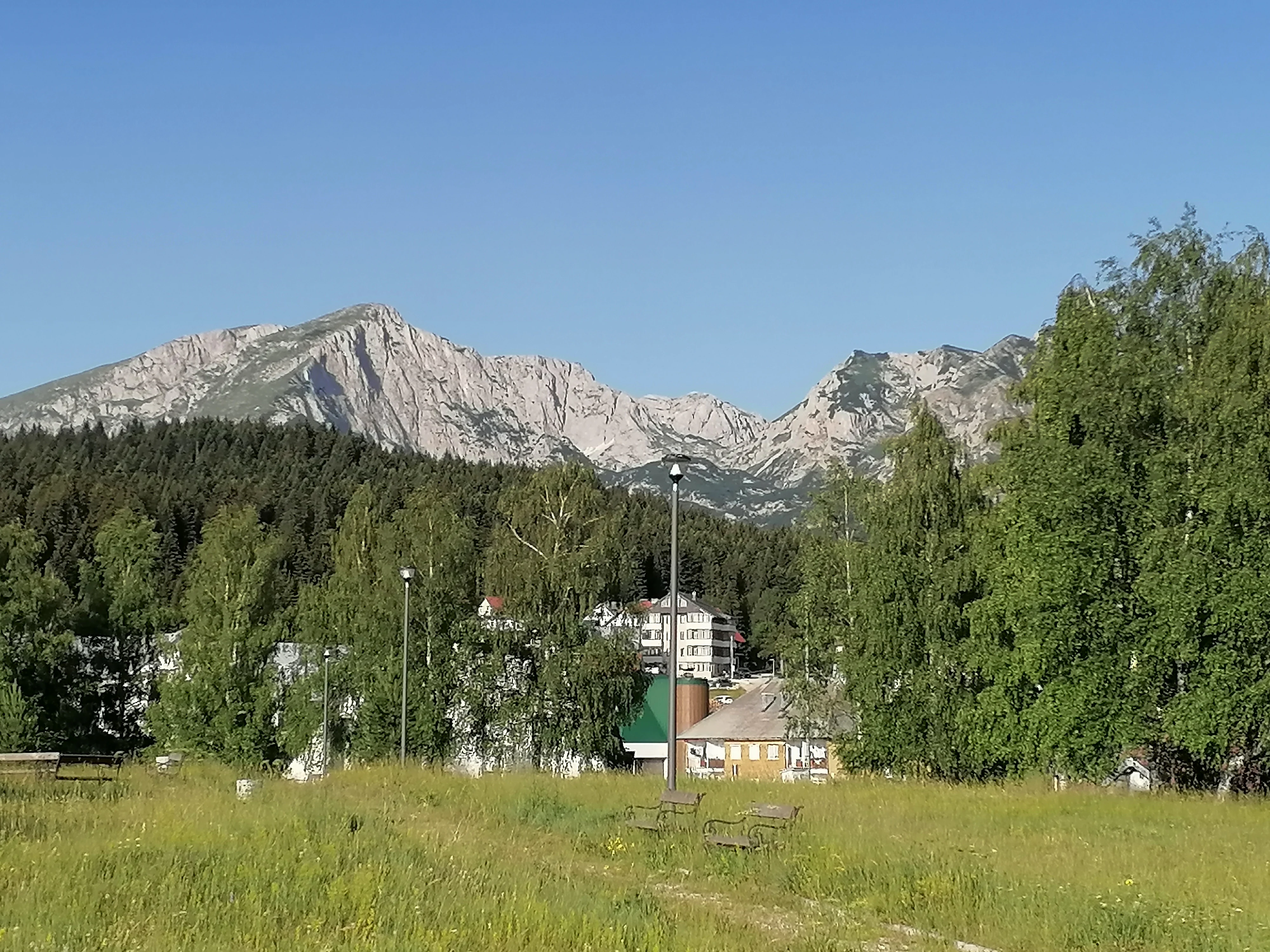
Human settlement around the park is concentrated in the Žabljak area, the highest town in Montenegro and the main gateway for visitors. Durmitor's official designation as a national park in 1952, followed by UNESCO World Heritage inscription in 1980, recognized both the geological and ecological significance of the area and ensured a long-term framework for its protection. Today, Durmitor is both an ecological anchor and the center of mountain tourism in Montenegro.

Quick facts and research context for Durmitor National Park

Durmitor National Park lies in the Žabljak municipality of northwestern Montenegro and covers roughly 390 square kilometers, or about 32,100 hectares, including the Durmitor massif, the canyons of the Tara, Sušica, and Draga rivers, and upper sections of the Komarnica canyon plateau. It is the largest protected area in the country and carries IUCN Category II national park status.

Created in 1952 and added to the UNESCO World Heritage List in 1980 under natural criteria vii, viii, and x, the park is recognized for its scenic beauty, geological value, and biodiversity. Its highest peak, Bobotov Kuk, reaches 2,523 meters, and the massif holds 48 summits above 2,000 meters, alongside 18 glacial lakes collectively known as the mountain eyes.

Protection and recognition

Verifying terrestrial boundaries and official global conservation designations for the park

Durmitor National Park Official Protection Status and UNESCO World Heritage Listing

Durmitor National Park maintains a designated terrestrial protection status to safeguard its distinct highland geography. Geographic databases record its official inclusion as a UNESCO World Heritage site, establishing its standing among major global protected areas.

International recognition

Protection details

Protection scope
Terrestrial
Designated year
1980
Transboundary protection
No
Park context

Deeper park guide and search-rich context for Durmitor National Park

Durmitor National Park history, landscape, wildlife, and travel context

Explore Durmitor National Park through its history, landscape character, ecosystems, wildlife, conservation priorities, cultural context, and seasonal travel timing in a structured park guide built for atlas discovery and search intent.

Why Durmitor National Park stands out

Durmitor National Park is most celebrated for the pairing of an austere high Dinaric mountain landscape with unusually rich freshwater features. The massif itself contains 18 glacial lakes, sometimes called the mountain eyes, and the park also encompasses the Tara River Canyon, considered Europe's deepest gorge at roughly 1,300 meters. The park's identity is shaped by this compact combination of high peak terrain, plateau lakes, and deep canyon corridors, all compressed into one of the smaller but visually intense national parks in southeastern Europe. The interplay between sharp limestone ridges, broad glacial basins, and the turquoise waters of Black Lake forms the recognizable visual signature of Durmitor.

Durmitor National Park history and protected-area timeline

The protection of the Durmitor area began in the early post-war era of the former Yugoslavia, when the territory was formally designated a national park in 1952. This initial designation established a managed framework that preserved the high massif, the surrounding canyon systems, and the plateau lakes as a single integrated reserve.

The park's international profile rose sharply in 1980, when UNESCO inscribed Durmitor on the World Heritage List under natural criteria, citing its outstanding scenic, geological, and biological values. The World Heritage inscription was later extended in 2005 to reinforce and clarify the boundary of the protected area.

The name itself carries older historical layers. One theory links the name Durmitor to a Romanian root meaning a sleeping place, suggesting that medieval Morlach settlers applied the word to the dormant, snow-covered massif. A second theory proposes a Celtic origin, possibly referencing water or ridged mountain features, with parallels to the nearby Tara River, which is associated with a Celtic deity. While these etymologies are debated, they indicate that the massif has long been a recognizable feature in regional culture. Beyond the national park designation in 1952 and the UNESCO inscription in 1980, the content does not support additional specific milestones, so further historical narrative is intentionally omitted here.

Durmitor National Park landscape and geographic character

The Durmitor massif is a compact, high-elevation area of the Dinaric Alps, dominated by the rise to Bobotov Kuk at 2,523 meters. The terrain is shaped by long periods of geological uplift and glacial carving, producing sharp ridges, deep cirques, and broad upland basins across the range. Forty-eight named peaks exceed 2,000 meters, giving the massif a dense, serrated skyline.

Around the perimeter of the massif, the landscape drops abruptly into three major river canyons. The Tara River Canyon, included within the national park, is roughly 80 kilometers long and, at 1,300 meters deep, is regarded as the deepest gorge in Europe. The Piva canyon lies to the west, and the Komarnica canyon frames the south, with the Sušica and Draga canyons extending the network into the park interior.

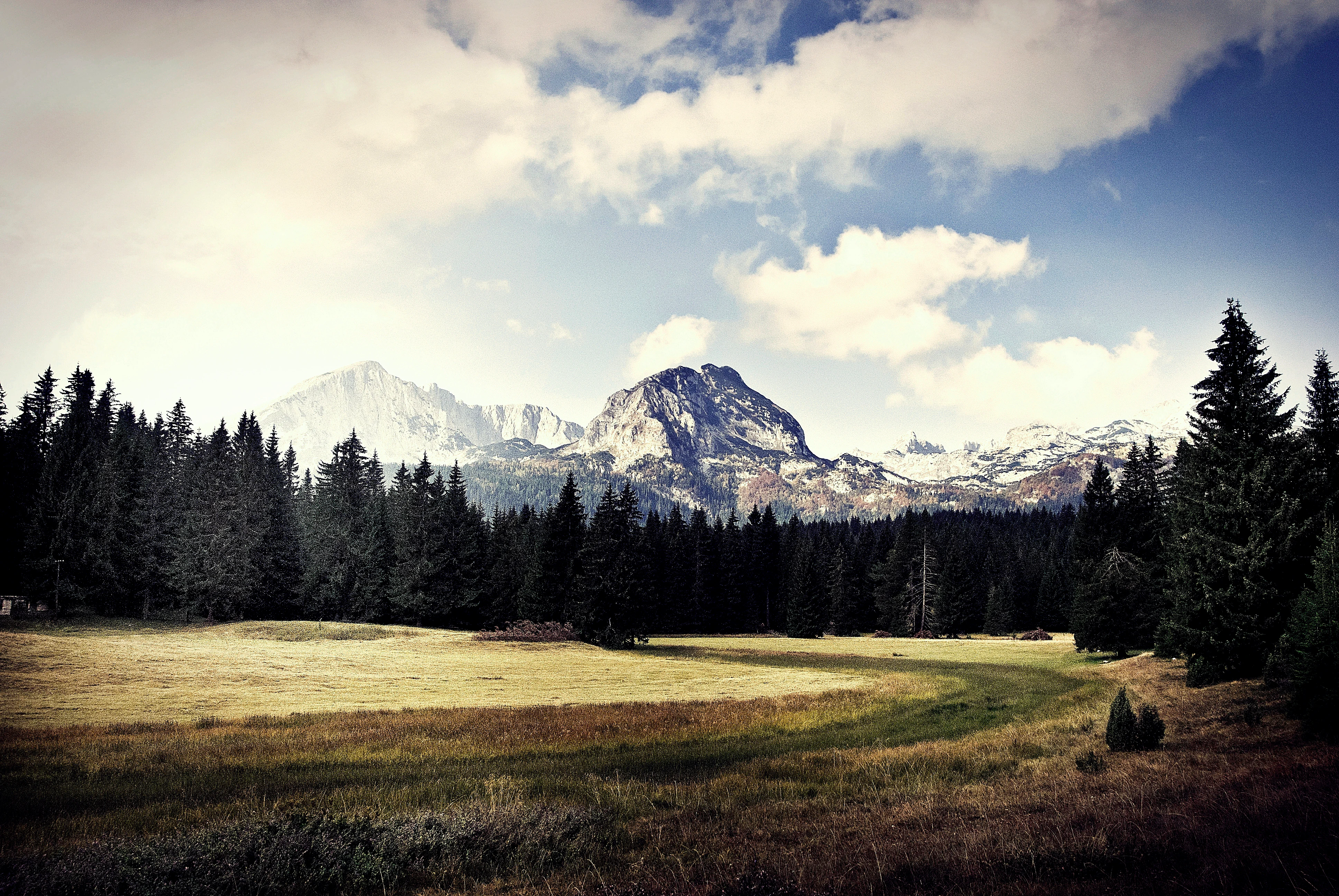
To the east of the high central massif, the terrain flattens into the Jezerska površ, a plateau around 1,500 meters in elevation, sometimes called the Plateau of Lakes. This plateau holds many of Durmitor's glacial lakes and acts as a transitional zone between the high massifs of the west and the next major range, Sinjavina, further east.

Durmitor National Park ecosystems, habitats, and plant life

Durmitor's ecological profile combines alpine and subalpine habitats with extensive mixed forests and a network of glacial lake ecosystems. The massif's elevation gradient supports a layered vegetation pattern, from montane beech and conifer forests on lower slopes to subalpine grasslands and stunted alpine vegetation on the upper ridges and exposed plateaus.

The park's glacial lakes, known collectively as Gorske Oči or mountain eyes, form a defining freshwater feature. They occupy glacially carved basins and depressions across both the high massif and the Jezerska površ plateau. Among them, Black Lake near Žabljak is the most prominent, but the broader system includes lakes such as Veliko Škrčko, Malo Škrčko, Zeleni Vir, Jablan, Valovito, Sušičko, and Pošćensko, each contributing to the park's wetland and aquatic character.

The canyons of Tara, Piva, Komarnica, Sušica, and Draga support distinctly different microclimates from the high massif, harboring mixed deciduous woodland and riverine vegetation that increases the park's overall habitat diversity. This alternating pattern of high rocky alpine landscape, mid-elevation forests, and sheltered canyon corridors gives Durmitor unusually rich ecological layering for a single national park.

Durmitor National Park wildlife and species highlights

The protected area's ecological value, recognized through the UNESCO natural criterion x, lies in the breadth and quality of its habitats rather than in a single charismatic species. Durmitor's forests support typical Dinaric fauna including populations of large mammals such as brown bears, wolves, and Balkan chamois, while the high mountain ridges and rocky plateaus provide habitat for smaller alpine species, raptors, and a variety of endemic or range-restricted invertebrates.

The glacial lakes and the Tara River system host freshwater fauna, with fish populations adapted to cold, well-oxygenated mountain waters. The deeper forest and canyon corridors offer refuge for nightingales and other birds characteristic of mature mixed woodland, while the open meadows of the Jezerska površ plateau attract migratory and ground-nesting species during the warmer season. The result is a wildlife profile shaped less by any single flagship animal and more by the continuity between high alpine, mid-elevation forest, and aquatic canyon habitats.

Durmitor National Park conservation status and protection priorities

Durmitor is the largest protected area in Montenegro and one of the most important conservation anchors in the Dinaric Alps. Its combined designation as a national park under IUCN Category II and as a UNESCO World Heritage Site under natural criteria vii, viii, and x provides one of the strongest protection frameworks in the region. The criteria recognize exceptional scenic beauty, distinctive geological and geomorphological value, and significant biodiversity.

The park's conservation importance rests on its capacity to preserve, in a single reserve, three distinct environmental zones: the high Dinaric alpine massif with its glacial lakes, the deeply incised river canyons of Tara, Piva, Komarnica, Sušica, and Draga, and the forested slopes that connect them. This combination makes Durmitor an important reference area for Dinaric karst, glacial geomorphology, and freshwater ecology.

The park's long protection history, beginning with national park status in 1952 and reinforced by UNESCO World Heritage inscription in 1980 and its 2005 boundary extension, has made it a benchmark for protected area management in the western Balkans. It serves as a key node in transboundary Dinaric conservation efforts and as a research reference for karst and mountain ecosystems.

Durmitor National Park cultural meaning and human context

The Durmitor region carries a layered cultural identity rooted in pastoral mountain tradition in the Dinaric highlands. The area around the massif has historically supported seasonal highland grazing, and small high-mountain villages and katuns (seasonal settlements) form part of the broader cultural landscape surrounding the park, even where they fall outside the strict national park boundary.

The names of the massif and surrounding rivers reflect this long human presence. Some researchers trace the name Durmitor to a Romanian word meaning a sleeping place, attributed to medieval Morlach settlers who associated the snow-covered peaks with dormancy. A competing theory points to a Celtic origin, drawing parallels to the Tara River, named for a Celtic goddess, and other regional names with pre-Slavic roots. These naming traditions emphasize that the massif has long been a cultural and symbolic landmark in addition to a physical one.

Žabljak, the principal gateway town, is the highest permanently inhabited settlement in Montenegro and Montenegro's principal mountain tourism base. Combined with long-standing pastoral traditions, the park sits within a region where mountain communities, traditional land use, and modern nature-based tourism continue to coexist.

Top sights and standout views in Durmitor National Park

Three defining features distinguish Durmitor National Park from other southeastern European mountain reserves: its dense concentration of high Dinaric peaks, the unusual richness of its glacial lake network, and the inclusion of the Tara River Canyon, Europe's deepest gorge.

The park's high massif, with 48 peaks above 2,000 meters and 18 glacial lakes, provides a tightly compressed alpine environment rarely found outside the major Carpathian and Alpine ranges. The canyon and plateau systems extend this core into a corridor of deep gorges and quiet basin lakes, while Black Lake near Žabljak remains the most iconic single attraction, anchoring public recognition of the park.

Best time to visit Durmitor National Park

The character of a visit to Durmitor shifts sharply between seasons. Winter brings heavy snow cover to the massif and turns the area around Žabljak into the heart of Montenegrin skiing and snowboarding, with stable snow on the Savin Kuk area and other accessible ridges defining the atmosphere of a winter stay.

Summer opens the park to its broader range of mountain activities. Hiking trails around Black Lake and across the Jezerska površ plateau become more accessible, mountaineering routes toward Bobotov Kuk and the other high summits are typically climbable, and the glacial lakes are at their most visually striking. Warmer months also favor water-based recreation on the lakes and along the canyon rivers. Shoulder seasons offer quieter conditions, with spring bringing melt-water and runoff that accentuate the waterfalls and lake levels.

Park location guide

Geography guide, regional context, and park location map for Durmitor National Park

Durmitor National Park park geography, regions, and map view in Montenegro

Understand where Durmitor National Park sits in Montenegro through a broader geographic reading of the surrounding landscape, nearby location context, and its mapped position within the national park landscape.

How Durmitor National Park fits into Montenegro

Montenegro is a unitary parliamentary republic in Southeast Europe on the Balkan Peninsula. With a population of approximately 623,000 and an area of 13,883 km², it borders five countries and has a coastline on the Adriatic Sea. The capital and largest city is Podgorica, while Cetinje serves as the old royal capital. The country declared independence in 2006 following the breakup of Serbia and Montenegro.

Wider geography shaping Durmitor National Park in Montenegro

Montenegro is located on the Balkan Peninsula in Southeast Europe. It is bordered by Serbia to the northeast, Bosnia and Herzegovina to the northwest, Kosovo to the east, Albania to the southeast, and Croatia to the west. The country has a coastline along the Adriatic Sea to the southwest. The terrain is predominantly mountainous, with the Dinaric Alps running through the country.

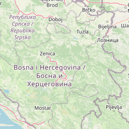
Map view of Durmitor National Park

Use this park location map to pinpoint Durmitor National Park in Montenegro, understand its exact geographic position, and read its mapped placement within the surrounding landscape more clearly.

Pigeon | © OpenStreetMap contributors

Location context for Durmitor National Park

Žabljak

Common questions about visiting, size, designation, and location context for Durmitor National Park

Durmitor National Park FAQs for park facts, access, geography, and protected area context

Find quick answers about Durmitor National Park, including protected-area facts, park geography, trail and visitor context, and how the park fits into its surrounding country and regional landscape.
MoriAtlas Explorer

Continue Your Protected Areas Search Across the Global Atlas

Deepen your exploration by continuing the structured search for national parks and protected areas worldwide. Utilize the comprehensive filtering capabilities to compare different conservation landscapes and refine your understanding of global park geography. Discover more about the distribution and characteristics of protected natural areas.

Global natural geography