
Viewpoints
Park geography
Structured data on landscape features, elevation, and protected area boundaries.
Finke Gorge National Park Geography, Mapped Boundaries, and Regional Terrain Profile
Examine the geographic characteristics of Finke Gorge National Park within the Northern Territory of Australia. This profile details the 452.85 square kilometer protected boundary, featuring arid riverine habitats, cliff formations, and plateau relief alongside key natural landmarks like the Finke River and Puka cliffs.
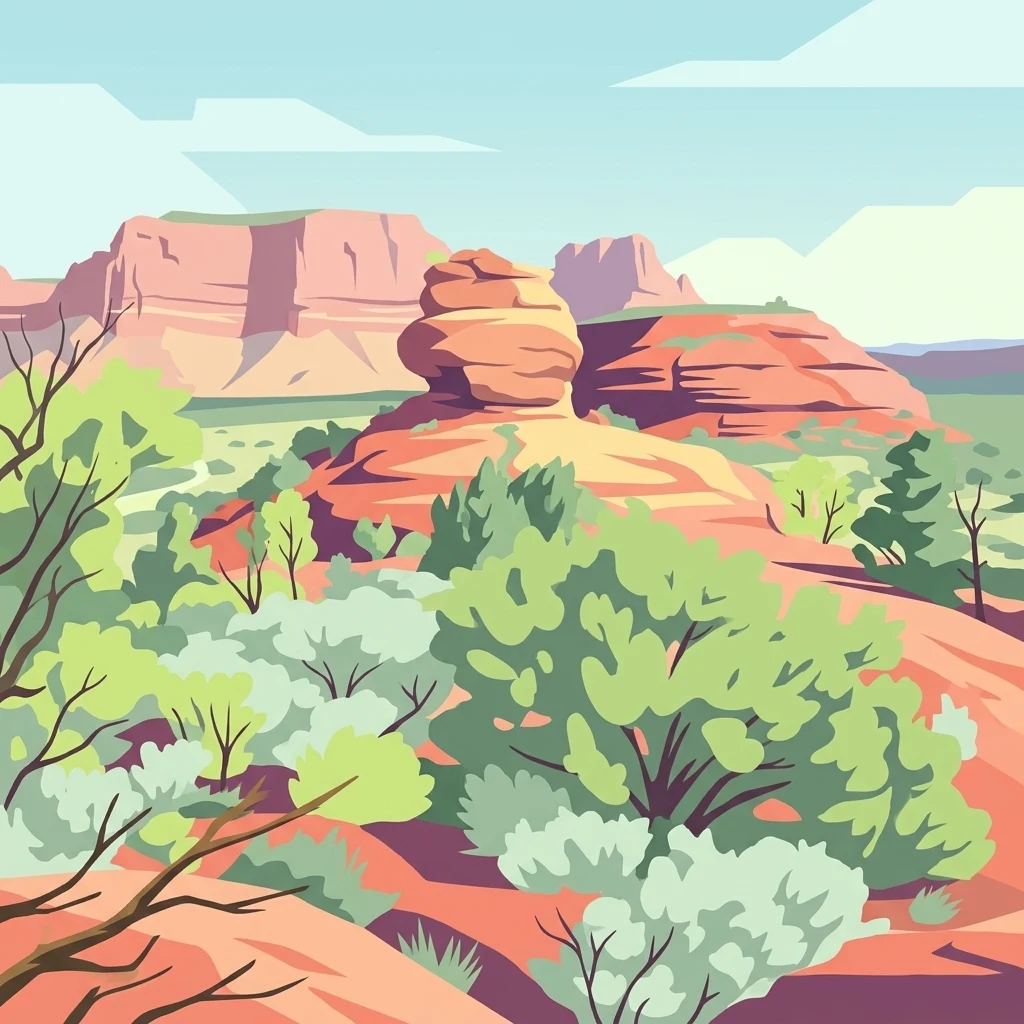
Ancient desert oasis with rare Central Australian palms in the heart of the Northern Territory
Finke Gorge National Park
Finke Gorge National Park is a protected landscape in the Northern Territory of Australia, situated approximately 1,318 kilometres south of Darwin in the arid heart of central Australia. The park encompasses 452.85 square kilometres of rugged terrain and is renowned for its spectacular desert oasis known as Palm Valley, where populations of the Central Australian Cabbage Palm thrive in remarkable isolation. This palm species is found nowhere else on Earth, making the park a botanically significant destination of global interest. The Finke River, which flows through the park, is recognized as one of the oldest river catchments in the world with geological formations dating back around 350 million years. The landscape combines dramatic gorges, rock amphitheatres, and sandy floodplains with the unique ecological treasure of the palm groves, creating a distinctive protected area that bridges extraordinary natural heritage with Aboriginal cultural significance.
- Location
- Australia
- Park type
- National park
- Established
- 1966
- Area
- 452.9 km²
Location overview
Protected area context in the Northern Territory of Australia
Finke Gorge National Park Geographic Location and Setting
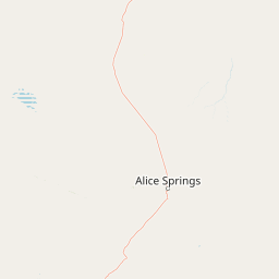
Finke Gorge National Park is located within the Northern Territory of Australia. Inland protected area records confirm that the territory contains no coastal or marine zones and does not cross international borders.
- Countries
- Australia
- Regions
- Northern Territory
- Primary location
- Northern Territory
- Geographic setting
- Inland
Boundary and coordinates
Geographic extent and the 452.85 square kilometer spatial footprint
Boundary Mapping and Spatial Limits of Finke Gorge National Park
Mapped boundary coordinates outline the precise shape and location of the protected area in the regional terrain. Accompanying geographic statistics offer computed measurements of area, center coordinates, and spatial spans.
- Boundary area
- 452.9 km²
- Boundary perimeter
- 226.4 km
- Northernmost point
- 24.0403° S
- Southernmost point
- 24.2755° S
- Easternmost point
- 132.8988° E
- Westernmost point
- 132.6078° E
- Geographic centre
- 24.1509° S, 132.7978° E
- North–south span
- 26.1 km
- East–west span
- 29.6 km
Terrain and natural features
Explore highland terrain classifications and recorded natural features across the protected landscape.
Finke Gorge National Park Terrain and Named Natural Features
Stored highland terrain classifications structure the geography of Finke Gorge National Park alongside recorded named natural features. Linked feature cards supply names, types, measurements, and spatial relationships where documented.
Selected named natural features
Rivers
Palm Creek
Streams
Ellery Creek
Rivers
Merrick Gully
Peaks
Mount Merrick
Cliffs
Puka
Environmental setting
Arid climate zones, highland relief, and riverine desert habitats
Finke Gorge National Park Environmental Setting and Landscape Classifications
Recorded landscape features, habitat types, and relief metrics combine to outline the physical setting of Finke Gorge National Park. Categorized attributes connect directly to related protected areas and regional atlas destinations.
- Relief
- Highland
- Climate
- Arid
- Water
- Major water bodies
- Forest cover
- Partial forest
Landscape features
Valleys · Cliffs · Forest · Rivers · Plateau
Habitat types
Desert habitat · Riverine habitat
Park atlas
Explore the Surrounding Desert Landscapes and Unique Protected Zones Across Australia's Northern Territory
Discover Nearby National Parks and Protected Areas Beyond Finke Gorge in Central Australia
Continue your exploration of Central Australian protected areas by tracing the regional context and diverse natural heritage surrounding Finke Gorge National Park. Compare nearby national parks, discover distinct desert ecosystems, and map ancient landscapes that share geological and ecological ties across the Northern Territory.
Nature reserveNorthern Territory
About 6.1 km away#1 closest
South

Illamurta Springs Conservation Reserve: Geography and Protected Landscape Atlas
Desert-fringe oasis in the Northern Territory
Located in the arid heart of central Australia, Illamurta Springs Conservation Reserve anchors a rare permanent water source at the base of the James Range. This protected area offers deep insight into the region's geography, balancing an essential oasis habitat with significant cultural storylines and remnants of frontier history in the Northern Territory.
- Area
- 1.29 km²
- Established
- 1969
- IUCN
- V
- Relief
- Upland
National parkNorthern Territory
32 km away#2 closest
East
Tjoritja / West MacDonnell National Park: National Park Atlas and Protected Landscape
Explore the dramatic MacDonnell Ranges terrain and geography.
Delve into the protected geography of Tjoritja / West MacDonnell National Park, a significant national park in Australia's Northern Territory. This landscape features striking mountain formations, deep gorges like Standley Chasm and Glen Helen, and is intrinsically linked to the famous Larapinta Trail and the Arrernte people's cultural heritage. Understanding its mapped boundaries and regional context provides essential insight into this iconic Central Australian protected area.
- Area
- 2,568.61 km²
- Established
- 1992
- IUCN
- II
- Relief
- Mountain
Nature reserveNorthern Territory
About 39 km away#3 closest
Southwest
Tnorala Conservation Reserve: Geological Wonders and Protected Landscapes of the Northern Territory
An iconic circular impact crater preserved as a cultural and natural sanctuary
Tnorala Conservation Reserve stands as a sentinel in the Northern Territory, defined by its striking five-kilometre-wide ring of hills. This protected area offers a look at a massive, ancient impact crater remnant that rises sharply from the surrounding desert plains, serving as a critical point of geological interest and a deeply revered sacred site for the Western Arrernte people.
- Relief
- Mountain
- Climate
- Arid
- Access
- Access unknown
- Scope
- Terrestrial
Natural monumentNorthern Territory
About 41 km away#4 closest
Southeast
Henbury Meteorites Conservation Reserve: Geological and Cultural Impact Site Mapping
Northern Territory desert monument and crater field atlas
Henbury Meteorites Conservation Reserve preserves a series of striking impact craters in the heart of the Northern Territory desert. This protected area offers insights into the geological mechanics of meteorite falls and the enduring cultural significance of the site within central Australian history. Its compact crater field creates a distinct topography against the surrounding arid plains, making it a focal point for understanding terrestrial impact morphology.
- Area
- 0.16 km²
- Established
- 1964
- IUCN
- III
- Relief
- Lowland
National parkAustralia
About 48 km away#5 closest
East
West MacDonnell National Park: Australia's Outback Mountain Landscape and Protected Area
Explore mapped gorges, waterholes, and regional geography in the Red Centre.
West MacDonnell National Park serves as a key protected area within Australia's arid interior, delineating the dramatic western MacDonnell Ranges. This national park offers a unique opportunity to study its mapped landscape, characterized by ancient sandstone ridges, deep gorges, and permanent water sources that support endemic biodiversity. Its profound connection to Aboriginal cultural heritage and its status as a conservation reserve make it essential for understanding the geography and protected lands of central Australia's Red Centre.
- Area
- 2,048 km²
- Established
- 1992
- IUCN
- II
- Relief
- Mountain
Nature reserveNorthern Territory
About 77 km away#6 closest
Southeast
Rainbow Valley Conservation Reserve: Geological Atlas and Protected Landscape Mapping
Examining the arid-zone terrain of Northern Territory, Australia.
The Rainbow Valley Conservation Reserve is a significant protected landscape known for its 350-million-year-old banded sandstone bluffs and diverse arid-zone habitats. This overview provides a focused look at the park's geological structure, claypan terrain, and its status as a vital site for Aboriginal heritage, offering a clear understanding of its place within the broader Northern Territory geographic context.
- Area
- 24.83 km²
- Established
- 1990
- IUCN
- V
- Visitors
- 6.8K annual
National parkNorthern Territory
85 km away#7 closest
Southwest
Watarrka National Park: Central Australian National Park with Iconic Canyon Landscapes
Explore its mapped terrain and protected area geography.
Watarrka National Park, located in the Northern Territory, is distinguished by the dramatic sandstone formations of Kings Canyon. This protected area showcases a unique arid zone biodiversity, including rare plant species and ancient cycad forests. Its geological significance and Aboriginal heritage make it a compelling point of study for understanding Central Australia's natural and cultural landscapes through structured atlas exploration.
- Area
- 1,051.85 km²
- Established
- 1989
- IUCN
- II
- Visitors
- 176.1K annual
Wildlife reserveNorthern Territory
About 94 km away#8 closest
East
Kuyunba Conservation Reserve: Wildlife Protected Landscape in Central Australia
Mapped geography and rocky habitat near Alice Springs
Kuyunba Conservation Reserve represents a focused approach to habitat protection in the Northern Territory. The terrain is defined by its rocky hills and boulder-filled escarpments, offering critical shelter for wildlife in an arid, drought-adapted desert region. This site provides a clear view of how targeted land management supports specialized ecological niches in inland Australia.
- Area
- 6.29 km²
- Established
- 1970
- IUCN
- V
- Relief
- Upland
MoriAtlas Explorer
Continue Exploring Finke Gorge National Park's Geographic Landscape and Atlas Context
Deepen your understanding of Finke Gorge National Park by exploring its specific geographic features and mapped protected boundaries. This destination is crucial for grasping the regional landscape context within the Northern Territory and provides valuable data for anyone focused on detailed atlas exploration of Australia's national parks and protected areas.
Browse next
Global natural geography
Explore related park routes
Explore MoriAtlas Global ParksBrowse All MoriAtlas ParksGlobal Park Map DiscoveryMoriAtlas: Browse All CountriesBrowse All MoriAtlas ContinentsNational Park Environment AtlasGrand Canyon National Park AtlasYellowstone National Park AtlasYosemite National Park Atlas and GeographySerengeti National Park AtlasGalápagos National Park Protected LandscapeBanff National Park Geography and AtlasKruger National Park Atlas EntryUluṟu-Kata Tjuṯa National Park AtlasExplore Uluru-Kata Tjuta National Park GeographyPlitvice Lakes National Park AtlasFiordland National Park Protected LandscapeGreat Smoky Mountains National Park AtlasAfghanistan National Parks and Protected AreasAlbania National Parks and Protected AreasAlgeria National Parks and Protected AreasAmerican Samoa National Parks and Protected AreasAndorra National Parks and Protected AreasAngola National Parks and Protected AreasAntarctica National Parks and Protected AreasAntigua and Barbuda Park List