
Mori Atlas logo
Nature reserveFlasken

Mapping the ecological transition where the Halleby Å river meets the brackish Storebælt coast.

Flasken Nature Reserve and the Coastal Landscapes of Kalundborg Municipality in Denmark

Flasken represents a distinctive coastal protected area in Denmark, preserving one of the last unregulated river mouths where freshwater from the Halleby Å system flows into the Jammerland Bugt. This nature reserve, integral to the broader Reersø tombolo formation, showcases a complex transition between brackish lagoons, sandy beach ridges, and the marine environment of the Great Belt. As part of a larger Natura 2000 complex, the site offers deep insight into the geomorphology of the Zealand coastline.

brackish lagooncoastal protection areanatural protected areaDenmarkZealandKalundborg Kommune
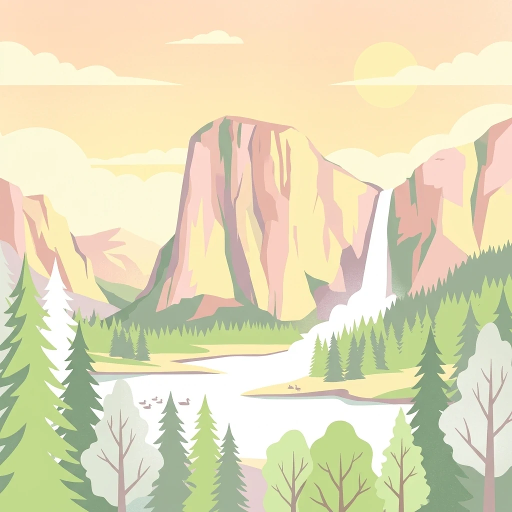
A flat vector illustration of a mountainous landscape with a large cliff, a waterfall flowing into a lake, and foreground trees in a soft, pastel color palette.

Flasken

Nature reserve

Park overview

Structured park overview, official facts, and landscape profile for Flasken

Flasken park facts, protected area profile, and essential visitor context

Review the core facts for Flasken, including designation, size, terrain, visitor scale, habitats, and operating context in one park-focused overview.

About Flasken

Flasken is a coastal brackish-water lagoon and protected nature area on the western side of the Danish island of Zealand. It is located within Kalundborg Kommune, in the parish of Kirke Helsinge, immediately inland of the Jammerland Bugt, an embayment of the Storebælt. The site sits at the mouth of the Halleby Å, a river system that drains the large Tissø lake and the broader Åmosen lowlands further inland, delivering freshwater into the saline coastal waters of the Great Belt.

The defining geographical context of Flasken is the Reersø tombolo, a low sandy isthmus that links the former island of Reersø to the mainland. Historical Reersø was a true island until the mid-1600s, after which longshore sediment transport progressively built up beach ridges that eventually fused the island to the coast. Today, Reersø Vejle forms the southern boundary of this tombolo while Flasken marks the northern boundary, and the two together constitute a single protected area of 285 hectares established in 1979.

The river itself has moved over time. The Halleby Å originally reached the coast further north at an area known as Bjerge Enge, but the formation of the beach ridges that locals call Osen gradually forced the channel southward to its current mouth. Because this outlet has not been straightened, deepened, or otherwise engineered, Flasken is regarded as one of the last natural-style river mouths on Zealand, an increasingly rare condition on a Danish coastline long shaped by reclamation, drainage, and embankment works.

Beyond its local protection status, Flasken is integrated into a much larger ecological network. It lies within the roughly 3,300-hectare Natura 2000 habitat area designated as site 157 Åmose, Tissø, Halleby Å and Flasken, which links the lagoon with the upstream lake and river systems. The site is also part of Naturpark Åmosen, the broader Danish nature park that frames the Åmosen basin as a coherent landscape of wetland, river course, lake, and coastal transition.

Quick facts and research context for Flasken

Flasken is a brackish lagoon and protected natural area on western Zealand, in Kalundborg Kommune, where the Halleby Å discharges into the Jammerland Bugt. It anchors the northern end of the tombolo connecting Reersø to the mainland, with Reersø Vejle forming the matching southern boundary. The combined Flasken and Reersø Vejle protection covers 285 hectares and dates from 1979. The wider landscape also sits within Natura 2000 habitat site 157 Åmose, Tissø, Halleby Å og Flasken, and within the larger Naturpark Åmosen.

Protection and recognition

Examine the documented conservation framework and protection scope for Flasken.

Flasken Protection Status and International Recognition Standards

Evaluate the mixed protection status and governance records established for Flasken. Review structured conservation facts and formal recognition metrics compiled for this protected area.

Protection details

Protection scope
Mixed
Transboundary protection
No
Park context

Deeper park guide and search-rich context for Flasken

Flasken history, landscape, wildlife, and travel context

Explore Flasken through its history, landscape character, ecosystems, wildlife, conservation priorities, cultural context, and seasonal travel timing in a structured park guide built for atlas discovery and search intent.

Why Flasken stands out

Flasken is best known for being one of the last unregulated river outlets on Zealand, where the freshwater flow of the Halleby Å meets the brackish waters of the Storebælt at Jammerland Bugt. The site is also notable as a coastal protection area marking the northern edge of the sandy tongue that links Reersø to the mainland, and for its inclusion in a major Natura 2000 habitat complex centered on the Åmosen basin.
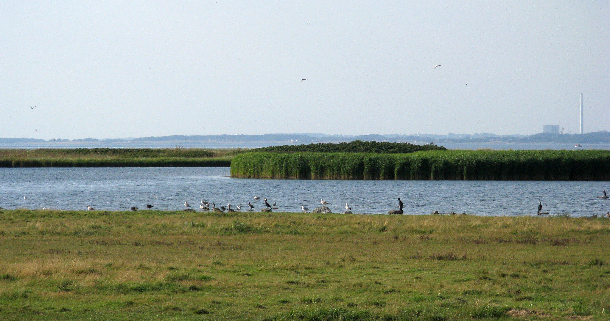
A wide view of a brackish lake with green reed beds in the center, surrounded by grassy fields and small birds along the shoreline.
The brackish waters of Flasken, a nature reserve featuring grassy marshlands and nesting bird habitats.

Flasken history and protected-area timeline

The historical narrative of Flasken is less about formal protection milestones and more about the slow coastal and fluvial processes that shaped its setting. Until the mid-1600s, Reersø stood as a true island offshore from western Zealand, separated by open water rather than a continuous beach ridge. Over subsequent centuries, longshore sediment movement and the gradual accumulation of beach ridges built the sandy tongue that now ties Reersø to the mainland. As these ridges grew southward of Flasken's present location, they progressively blocked the historical outlet of the Halleby Å at a place once known as Bjerge Enge, redirecting the river through the dynamic foreland called Osen and into its current mouth at Flasken.

Formal protection came in 1979, when Flasken and Reersø Vejle were jointly designated as a protected natural area totaling 285 hectares, thereby conserving the northern and southern segments of the Reersø tombolo under a single legal framework. This designation recognized both the ecological transition represented by the brackish lagoon and the geomorphological value of the connecting isthmus.

A second layer of recognition came through European and regional landscape frameworks. Flasken became part of the Natura 2000 habitat area known as site 157 Åmose, Tissø, Halleby Å and Flasken, linking the coastal lagoon to the upstream wetlands, lakes, and river courses of the Åmosen basin. It is also included within Naturpark Åmosen, the wider Danish nature park that gathers the basin and coastal transition under a single coordinated landscape designation.

Flasken landscape and geographic character

Flasken sits within a low-lying coastal landscape shaped by the interplay of river, sea, and shifting sand. The immediate setting is defined by the mouth of the Halleby Å as it opens into the Jammerland Bugt, where freshwater flow meets the more saline waters of the Storebælt. Around this outlet lies the brackish lagoon that gives the site its character, flanked by low foreshore and backshore environments typical of a Danish coast where freshwater, salt, and sediment meet.

To the south of the lagoon stretches the Reersø tombolo, the narrow sandy isthmus that connects the former island of Reersø to the mainland. This tombolo is composed of successive beach ridges, locally known as Osen, that have built up over centuries through the longshore transport of sediment. The northern edge of this sandy corridor is anchored by Flasken, while Reersø Vejle sits at its southern counterpart, making the two protected sites effectively bookend the land bridge. Together they form one continuous low-relief landscape of beach ridges, dune-like sand flats, reed-influenced margins, and tidal-influenced water bodies.

Further inland from Flasken, the landscape transitions into the Åmosen basin. The Halleby Å drains Tissø, one of Zealand's larger freshwater lakes, and threads its way through the wet meadows and floodplain soils of the Åmose before reaching the coast. The result is a layered visual sequence: open lake and wet meadow upstream, narrowing river corridor, brackish lagoon and sandy foreshore at the coast, and finally the wider marine horizon of the Great Belt.

Flasken ecosystems, habitats, and plant life

Flasken's ecological value comes from its position at the transition between freshwater and saltwater habitats, set against a dynamic sandy coastline. The brackish lagoon itself mixes the river water of the Halleby Å with the salt-influenced water of the Jammerland Bugt, producing variable salinity conditions that support specialized aquatic and wetland communities. The shallow water, soft sediments, and gradual gradients between submerged vegetation and reed-influenced shoreline make the site a productive zone for wetland-associated species.

The surrounding foreshore and beach ridges contribute a different ecological character. The low sandy ridges, the active formation of Osen, and the older consolidated beach ridges that now carry low vegetation create a mosaic of dry and moist sandy habitats. This mosaic is typical of Danish tombolo environments, where stable ridges support grassland-like vegetation while newer sands remain sparsely vegetated and dynamic.

Upstream, the nature area connects through the Halleby Å to the Tissø lake system and the broader wet meadows of the Åmosen basin, providing continuous habitat corridors that link inland freshwater habitats with the brackish coastal environment at Flasken. The site's integration into the Natura 2000 habitat complex Åmose, Tissø, Halleby Å and Flasken reflects this linked ecosystem, built around the path of the river from inland lake to coastal lagoon.

Flasken wildlife and species highlights

Wildlife at Flasken is shaped by the meeting of three habitat types: the open water of the brackish lagoon, the reed-influenced shoreline, and the open sandy foreshore of the Reersø tombolo. This combination of aquatic and open-ground habitats supports a mix of waterbirds, waders, and shorebirds that use the lagoon and beach-ridge margins, as well as fish and invertebrate communities adapted to the variable salinity where the Halleby Å enters the salt-influenced Jammerland Bugt.

The freshwater flow out of the Halleby Å adds to this habitat by sustaining riverine species and by attracting predatory birds and other wildlife that follow the productive conditions of the lagoon and its edges. The site's role as one of Zealand's last unregulated river mouths keeps shoreline conditions more natural than many other Danish coastal outlets, with the variable water levels, soft banks, and shallow margins that waterbirds, waders, and breeding wetland species prefer.

The wider Natura 2000 designation of Åmose, Tissø, Halleby Å and Flasken reinforces the site's role for migratory and resident waterbirds, while the open sandy ridges of the tombolo support ground-nesting species and other open-land fauna associated with dynamic coastal environments. The combined effect is a coastal pocket where freshwater, brackish, and beach-ridge habitats overlap to create concentrated local wildlife interest.

Flasken conservation status and protection priorities

Flasken's conservation importance lies in two overlapping dimensions: the legal protection of the local area and its integration into broader landscape protection frameworks. The 1979 designation of Flasken and Reersø Vejle as a protected natural area, totaling 285 hectares, anchored the site's status as a conserved coastal environment, preserving the brackish lagoon at one end of the Reersø tombolo and the beach-ridge complex that defines the surrounding landscape.

The site's value is strongly tied to the natural, unregulated character of the Halleby Å outlet. As one of the last such outlets on Zealand, Flasken represents a coastal hydrology that has otherwise been replaced by straightened channels and engineered outlets elsewhere along the Danish coast. Maintaining this outlet in a relatively unmodified state is integral to the site's ecological function as a brackish transition between freshwater river system and brackish-marine embayment.

The site's broader conservation significance is embedded in the Natura 2000 habitat area known as site 157 Åmose, Tissø, Halleby Å and Flasken. This designation links the coastal lagoon to the inland Tissø lake, the Halleby Å river corridor, and the Åmose wetland complex, recognizing the entire river-to-coast system as one continuous ecological unit. Within Naturpark Åmosen, Flasken also contributes to a wider Danish nature park framing that combines ecological protection with landscape management across the Åmosen basin and adjoining coast.

Flasken cultural meaning and human context

Flasken itself is primarily a natural and ecological place rather than a cultural-historical site, and the source material does not support an extensive cultural interpretation. The closest cultural framing is the nearby former island community of Reersø, whose identity has been shaped by long-term isolation before the tombolo fully enclosed it, and by a continuing local maritime and agricultural tradition. The Danish place names recorded locally for the dynamic foreshore (Osen) and the historical northern outlet (Bjerge Enge) also reflect a long regional familiarity with the slow reshaping of this coastline, even though the specific community-level history of Flasken itself is not directly documented in the source.

Top sights and standout views in Flasken

Flasken's standout qualities all converge on its role as a coastal transition. It is one of Zealand's last unregulated river mouths, where the freshwater Halleby Å meets the brackish Jammerland Bugt of the Storebælt. It anchors the northern end of a textbook tombolo that turned Reersø from a true island into a tied landmass over the past four centuries. The combined 285-hectare protection of Flasken and Reersø Vejle, established in 1979, secures both the brackish lagoon and the surrounding beach-ridge landscape, while the site's position within Natura 2000 area 157 and Naturpark Åmosen ties it to one of the larger coherent wetland-river-coast ecosystems in eastern Denmark.

Best time to visit Flasken

Flasken is a nature area rather than a developed visitor destination in its own right, and the source material does not give detailed seasonal visitor guidance. From the broader ecological context, the most visually interesting periods tend to align with the transitional seasons of spring and autumn, when migratory waterbirds use the brackish lagoon, when the contrast between active beach-ridge shaping and vegetation cover is most visible along the Reersø tombolo, and when the Halleby Å system carries changing freshwater levels into the lagoon. Summer offers stable and accessible conditions for viewing the open coastal landscape from the surrounding lowlands, while winter can highlight the open-water character of the lagoon and the exposed sandy foreshore, though specific access conditions should be checked locally.

Monthly climate preview

Long-term representative coordinate measurements for monthly temperature and precipitation cycles

Flasken Climate Normals, Annual Temperature and Precipitation Rhythm

Flasken records measured long-term averages for temperature and precipitation across a twelve-month climatology period from NASA data. Opening the complete monthly profile provides deeper comparative metrics for regional temperature ranges and precipitation totals.
Annual mean9 °C
1 °C18 °C
Jan
Feb
Mar
Apr
May12°
Jun15°
Jul18°
Aug18°
Sep15°
Oct10°
Nov
Dec
Warmest month
August

17.8 °C

Coolest month
February

1.1 °C

Wettest month
August

2.4 mm/day

Driest month
April

1.2 mm/day

Park location guide

Geography guide, regional context, and park location map for Flasken

Flasken park geography, regions, and map view in Denmark

Understand where Flasken sits in Denmark through a broader geographic reading of the surrounding landscape, nearby location context, and its mapped position within the national park landscape.

How Flasken fits into Denmark

Denmark is a constitutional monarchy and Nordic country in Northern Europe. It is the southernmost of the Scandinavian countries, bordering Germany to the south, Norway to the north, and Sweden to the southwest. The country consists of the Jutland peninsula and an archipelago of islands, with Copenhagen as its capital and largest city. Denmark has a population of over 6 million and is characterized by flat, arable land, sandy coasts, and a temperate climate.

Wider geography shaping Flasken in Denmark

Denmark occupies the Jutland peninsula and roughly 406 islands in Northern Europe. It is situated between the North Sea to the west and the Baltic Sea to the east. The country borders Germany to the south and is connected to Sweden via the Øresund Bridge. Denmark is predominantly flat terrain with low elevation, the highest point being Møllehøj at 170.86 meters.

Map view of Flasken

Use this park location map to pinpoint Flasken in Denmark, understand its exact geographic position, and read its mapped placement within the surrounding landscape more clearly.

Pigeon | © OpenStreetMap contributors

Location context for Flasken

Kalundborg Municipality

Visual reference for brackish lagoons, river mouths, and coastal habitats.

Flasken Photos and Protected Landscape Scenery

Browse detailed Flasken photos showing the unique interaction between the freshwater Halleby Å and the saline waters of Jammerland Bugt. Visual documentation reveals the low-lying beach ridges and coastal wetland habitats that define this protected area.

A wide view of a brackish lake with green reed beds in the center, surrounded by grassy fields and small birds along the shoreline.

Park atlas

Compare regional wetland habitats and coastal conservation areas across western Zealand

Explore Parks Near Flasken and Surrounding Protected Coastal Landscapes

Continue exploring protected areas near Flasken by examining adjacent coastal lagoons and river mouth habitats across the surrounding region. Geographic comparison of nearby reserves reveals broader patterns in Danish wetland ecosystems and coastal landforms.
Nature reserveKalundborg Municipality
About 18 km away#1 closest

North

Saltbæk Vig Nature Reserve: Geography and Protected Wetland Landscapes in Kalundborg Municipality

A brackish lagoon basin shaped by historic land reclamation efforts.

Saltbæk Vig is a major coastal water body on the northwestern edge of Zealand, Denmark, defined by shallow waters and low-lying wetland terrain. This nature reserve serves as an important regional landmark, where historic drainage embankments now form unique boundaries that define the lagoon's ecological character and protected status.

Area
26 km²
Established
1992
Relief
Lowland
Climate
Temperate
Watercolor painting of the island of Nekselø showing green hills rising above a pale sea against a light sky.
Nature reserveKalundborg Kommune
About 29 km away#2 closest

North

Nekselø Nature Reserve: An Atlas Entry for the Unique Steppe-Climate Island in Denmark

Coastal geography and protected wetland terrain in Kalundborg Kommune

Nekselø represents a distinctive protected area in Denmark, where a unique microclimate creates favorable conditions for diverse, warmth-loving flora and fauna. As a managed nature reserve in Kalundborg Kommune, it offers a compelling study in island geography and small-scale, community-led conservation efforts within the international Ramsar and Natura 2000 protected frameworks.

Area
2.2 km²
Established
1951
Relief
Lowland
Scope
Mixed
Nature reserveDenmark
About 35 km away#3 closest

South

Stigsnæs-Borreby-Basnæs Nor Nature Reserve: Mapped Geography and Coastal Landscape Context

Protected wetlands and migration corridors in southern Denmark

Stigsnæs-Borreby-Basnæs Nor encompasses a complex interplay of manor-influenced farmland, reed-fringed shallows, and essential marshlands. This nature reserve functions as a critical funnel for migratory raptors and waterfowl on the southwestern edge of the Zealand coast. The area integrates deep cultural history with internationally recognized habitats, offering a clear window into the coastal terrain and wetland structure of the region.

Area
12.15 km²
Established
1978
Relief
Lowland
Scope
Mixed
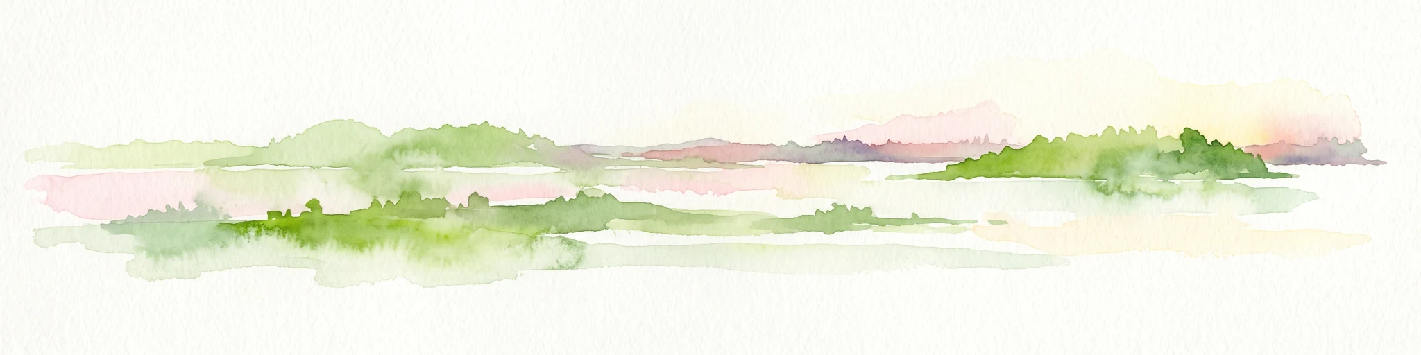
A minimalist watercolor painting showing a horizontal landscape of green islands and shoreline against a white background.
Protected areaDenmark
About 45 km away#4 closest

Northwest

Stavns Fjord Protected Area: An Atlas of Danish Coastal Landscapes

Mapping the islands and tidal flats of Samsø

Stavns Fjord offers a rare glimpse into a sheltered coastal landscape set entirely within the island of Samsø. Characterized by its calm waters, shallow tidal flats, and the curving spit of Besser Rev, this protected site is a critical Ramsar wetland habitat for coastal bird populations. Explore the unique geography and layered history, from Viking canals to medieval fortifications, that define this essential Danish protected area.

Area
20 km²
Established
1926
Relief
Lowland
Access
Moderate access
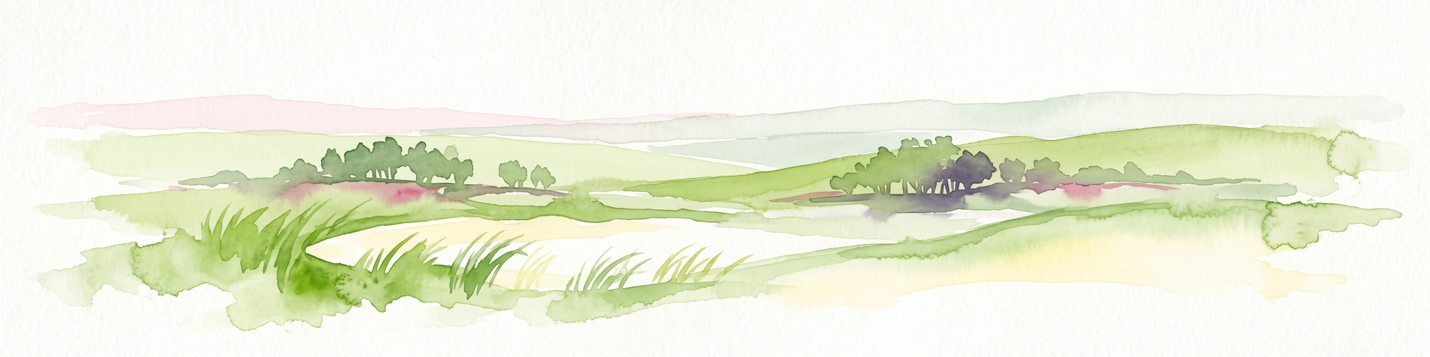
A horizontal watercolor painting depicting a soft, rolling landscape with green grassy fields, small clusters of trees, and tall grasses in the foreground.
Protected areaCentral Denmark Region
About 51 km away#5 closest

Northwest

Horsens Fjord, havet øst for og Endelave: Protected Coastal Landscape and Map Context

Mapping island habitats, reefs, and fjord geography in Denmark

Examine the geographic composition of Horsens Fjord, havet øst for og Endelave, a significant Natura 2000 site. This protected area connects inland fjord waters to open Kattegat coastlines, featuring a chain of islands, tidal sand flats, and submerged stone reefs that define this distinct ecological region.

Area
458.23 km²
Established
2011
Relief
Lowland
Climate
Temperate
Nature reserveRegion Midtjylland
About 52 km away#6 closest

Northwest

Natura 2000-område nr. 55 Stavns Fjord, Samsø Østerflak og Nordby Hede Protected Landscapes

Coastal lagoons and glacial islands in Region Midtjylland

Gain insight into the expansive marine and terrestrial geography of this protected site. The area spans a diverse mosaic of salt meadows, dunes, and shallow reefs while supporting critical habitats for waterbirds and seals within the Kattegat sea.

Area
156.63 km²
Established
1981
Relief
Lowland
Climate
Temperate
Nature reserveFaxe Municipality
About 57 km away#7 closest

East

Bagholt Mose: Protected Peatland Mosaic and Fen Geography in Faxe Municipality, Denmark

A high-value Natura 2000 protected wetland and bog habitat.

Bagholt Mose is a significant nature reserve situated within the Munkeskov forest of southern Zealand. The landscape features a distinct combination of historical peat cuttings and raised bog remnants, which together form a rare mosaic of nutrient-poor and calcareous fen communities that support an exceptional diversity of lowland bog flora.

Area
0.17 km²
Established
1985
Relief
Lowland
Scope
Terrestrial
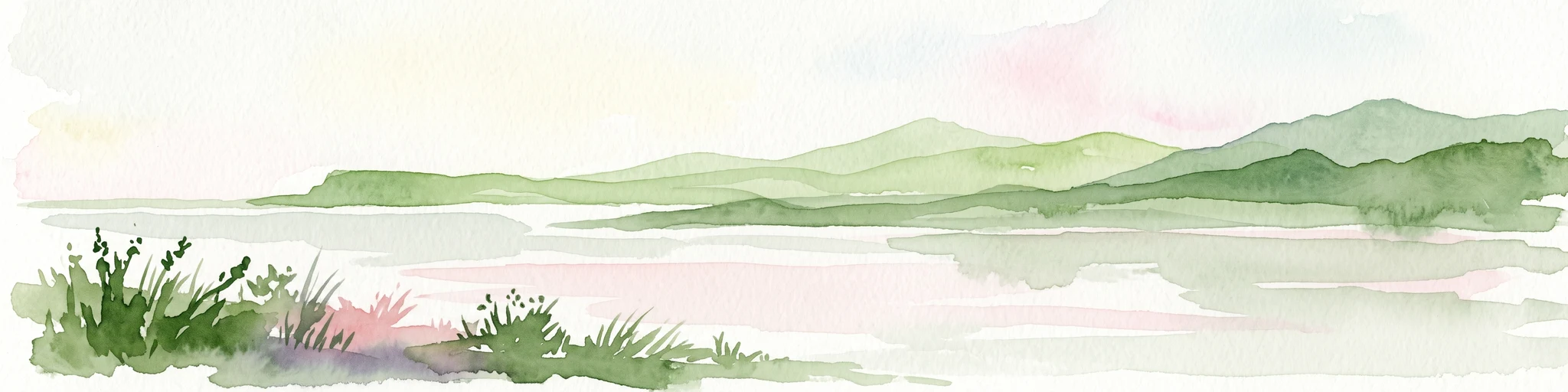
A horizontal watercolor painting showing a soft green shoreline in the foreground and rolling hills across the water in the distance.
Nature reserveNaestved Municipality
About 58 km away#8 closest

Southeast

Dybsø Nature Reserve: Protected Coastal Landscape in Naestved Municipality

Geographic atlas of a protected Danish barrier island

Dybsø is a distinct barrier island situated off the coast of Zealand. Its protected landscape consists of open grasslands, coastal reed beds, and freshwater ponds that shelter the shallow waters of the fjord system. As a designated nature reserve, the area represents a critical wildlife refuge, maintained through traditional grazing to preserve its unique maritime terrain and geological history.

Area
1.34 km²
Established
1978
Relief
Lowland
Climate
Temperate

Common questions about visiting, size, designation, and location context for Flasken

Flasken FAQs for park facts, access, geography, and protected area context

Find quick answers about Flasken, including protected-area facts, park geography, trail and visitor context, and how the park fits into its surrounding country and regional landscape.
MoriAtlas Explorer

Continue Your Protected Areas Search Across the Global Atlas

Deepen your exploration by continuing the structured search for national parks and protected areas worldwide. Utilize the comprehensive filtering capabilities to compare different conservation landscapes and refine your understanding of global park geography. Discover more about the distribution and characteristics of protected natural areas.

Global natural geography