

Mori Atlas logo
Park earthquake history

Review documented earthquake events, magnitudes, and epicentre distances for this protected landscape

Historical Catalogue of Recorded Seismic Activity Near Grambker Feldmarksee in Bremen

This collection provides a historical record of seismic events identified in proximity to the Grambker Feldmarksee nature reserve near Bremen. The catalogue documents event data such as magnitude, depth, and distance from the protected lake area for reference and geographic study. These records are associated by epicentre proximity rather than causation, offering a clear view of historical seismic activity within this specific northwestern German region.

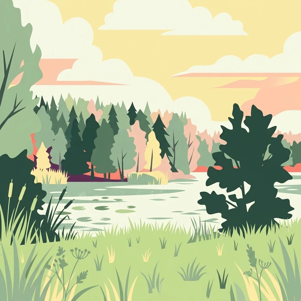
A flat-style vector illustration of a quiet lake surrounded by a dense forest and grassy banks under a warm, soft-toned sky.

A reclaimed quarry lake in northern Bremen, restored as a protected wetland for waterbirds and aquatic plants.

Grambker Feldmarksee

Grambker Feldmarksee is a small lake and nature reserve in the Burglesum district of Bremen, in northwestern Germany. The lake originated as a quarry-style excavation created during construction of the A27 motorway between 1971 and 1973, and over the following decades it evolved into a valuable aquatic habitat surrounded by woodland and a bordering reed zone. Today the lake and its surrounding 22.6-hectare nature reserve are protected under both German nature conservation law and the EU Habitats Directive, and they form part of the larger EU bird protection area known as Blockland. The setting of the reserve combines a mesotrophic, groundwater-fed lake with fringing shrubs, reedbeds, and shallow-water zones, creating conditions that support diverse aquatic flora as well as breeding and resting waterbirds. Its position on the edge of the Bremen city district, adjacent to a major motorway and bounded on the north and east by traditional waterways and green areas, gives the site a distinct character as a small but ecologically dense refuge within an otherwise urbanized landscape.

Location
Germany
Park type
Nature reserve
Established
2009
Area
0.2 km²
Grambker Feldmarksee Nature Reserve Geography

Trace reported epicentres around a water-dominated lowland lake and wetland reserve

Explore earthquake geography near Grambker Feldmarksee

Search earthquake observations around Grambker Feldmarksee, a terrestrial lowland reserve dominated by water across lake, wetland and forest landscapes; compare reported time, magnitude, depth, locality and boundary distance while retaining each source. Area is not estimated, and proximity does not establish reserve occurrence, wetland effects, present hazard or future events.

Sort by
Magnitude
Location

This page describes catalogued earthquakes associated with the park by epicentre location and distance. It does not establish causation, assess current danger, or predict future earthquakes.

No earthquake records match the current filters

Park atlas

Leave the lake’s earthquake context for independent park discovery

More protected landscapes after Grambker Feldmarksee

The destinations presented after Grambker Feldmarksee form a broader protected-place collection rather than an extension of its earthquake catalogue. Their inclusion says nothing about shared quarry-lake origins, wetland habitat, Bremen geography, conservation status, seismic records, proximity, or earthquake-page coverage; each page carries its own context.
Nature reserveBremen
1 km away#1 closest

East

Untere Wümme Nature Reserve: Riverine Biodiversity and Protected Tidal Landscapes in Bremen

Protected floodplain geography and tidal river habitats.

This nature reserve protects the meandering lower course of the Wümme river, showcasing one of northern Germany's few freshwater tidal systems. Spanning reedbeds, willow forests, and open mudflats, the reserve forms a vital corridor for migratory fish and waterfowl, reflecting a complex mosaic of protected riverine ecosystems and historic meadow landscapes.

Area
1.485 km²
Established
1991
Relief
Lowland
Climate
Temperate
Nature reserveBremen
About 3 km away#2 closest

Northwest

Ruschdahlmoor Nature Reserve: Deep Peatlands and Protected Wetland Geography in Bremen

Geological subsidence sinkhole and urban protected landscape

Ruschdahlmoor stands as a unique nature reserve in Bremen, Germany, distinguished by a peat-forming wetland developed inside a sinkhole over the Lesum salt dome. This protected area supports tall herb meadows, reed-fringed ponds, and rare peat-depth records, offering a dense, ecologically rich landscape context that remains a vital part of the city's natural geography.

Area
0.048 km²
Established
1991
IUCN
IV
Relief
Lowland
Nature reserveBremen
About 3.2 km away#3 closest

West

Dunger See Nature Reserve: Mapped Protected Wetland and Landscape Geography in Bremen

A structured geographic look at the Werderland bird protection habitat.

Dunger See is a compact, ecologically diverse nature reserve in Bremen, shaped by intentional land management to provide critical nesting and wintering grounds for wildfowl. This protected area stands out for its indented shoreline, artificial island clusters, and surrounding woodland buffers that contrast with the open agricultural terrain of the wider Werderland landscape.

Area
0.33 km²
Established
1990
Relief
Lowland
Climate
Temperate
A watercolor painting showing a soft, panoramic view of a flat wetland area with green trees, a solitary tree in the middle, and industrial silos faintly visible in the background.
Nature reserveBremen
About 5.9 km away#4 closest

South

Hochwasserschutzpolder zwischen Senator-Apelt-Straße und Neustädter Hafen: Bremen Protected Lands

A vital wetland reserve integrating flood management and avian biodiversity in the port district.

Located within the port district of Bremen, the Hochwasserschutzpolder zwischen Senator-Apelt-Straße und Neustädter Hafen is a notable protected area that balances essential flood-control infrastructure with rich ecological functions. The reserve sustains a variety of wetland bird populations across its reed-lined waters and alluvial woodlands, providing a critical haven for wildlife amidst the surrounding industrial and urban development of the Lower Weser region.

Area
0.847 km²
Established
2014
IUCN
IV
Nature reserveBremen
About 7.8 km away#5 closest

Northwest

Hammersbecker Wiesen: Protected Nature Reserve and Meadow Landscape in Bremen

Ecological mosaic of wet meadows and stream valley terrain

Hammersbecker Wiesen encompasses 25.8 hectares of ecologically significant wet grassland and hedgerow habitats in Bremen. This nature reserve provides an essential refuge for diverse plant species and local amphibians within an urban-adjacent setting, illustrating the preserved character of traditional northern German meadow systems.

Area
0.258 km²
Established
1986
Nature reserveBremen
8.2 km away#6 closest

Southeast

Kuhgrabensee Nature Reserve: Mapped Geography and Protected Areas in Bremen

An ecologically vital lake and bird sanctuary in Northwest Germany

Kuhgrabensee serves as a prime example of landscape restoration within Bremen, featuring a groundwater-fed lake with notable saline influences. This protected area supports a diverse array of pioneer plants and wildlife across its reed-lined shores and shallow-water habitats, providing a quiet corridor for ecological observation and study in the heart of the local landscape.

Area
0.296 km²
Established
1987
Relief
Lowland
Climate
Temperate
A watercolor painting showing a serene landscape with calm water, small islands of trees, and rolling hills in the background.
Nature reserveBremen
About 8.5 km away#7 closest

Southeast

Am Stadtwaldsee (Uni-Wildnis) Nature Reserve: Geographic Atlas and Park Map Context

Protected secondary habitat landscape in Bremen, Germany

Located in Bremen, the Am Stadtwaldsee (Uni-Wildnis) nature reserve offers a compelling study of secondary ecological succession. The area features a dense concentration of ponds and wooded ground shaped by historical sand mining. Explore the mapped boundaries of this eleven-hectare refuge to understand its role in urban biodiversity and regional landscape conservation.

Area
0.114 km²
Established
1991
IUCN
IV
Nature reserveBremen
About 9 km away#8 closest

South

Ochtumniederung bei Brokhuchting: Wetland Nature Reserve and Floodplain Geography

A core conservation area within the Bremen Niedervieland

This protected area stands as a primary example of large-scale river floodplain restoration in the Bremen region. The landscape includes a dense network of canals, reedbeds, and seasonal flood zones that provide critical shelter for waterfowl and waders. Through careful environmental management, this site integrates natural riverine terrain with the surrounding industrial and urban framework of northwestern Germany, offering a distinct study of managed wetland ecosystems.

Area
3.75 km²
Established
1998
Relief
Lowland
Climate
Temperate
MoriAtlas Explorer

Explore the Mapped Geography and Protected Boundaries of Grambker Feldmarksee

Deepen your understanding of Grambker Feldmarksee by analyzing its unique position between urban infrastructure and protected aquatic zones. MoriAtlas provides a clear view of how this nature reserve functions as a critical bird habitat within the state of Bremen.

