
Why Gröditzer Skala stands out
Gröditzer Skala is best known for its compact mosaic of habitats packed into a single narrow rock valley. The combination of north- and south-facing slopes, a flowing stream, and greywacke bedrock creates sharply contrasting microclimates within a small area. The reserve is also recognised as a classic example of an Upper Lusatian "skala," the regional term for a rocky, stream-cut valley. Within Saxony's network of protected sites, it stands out for combining geological significance with notable botanical diversity, including stands of sessile oak, hornbeam, ash, maple, and lime, along with more specialised slope species such as large-flowered foxglove and wood spurge.
Gröditzer Skala history and protected-area timeline
The Gröditzer Skala was formally designated as a nature reserve in 1961, becoming part of the early post-war wave of habitat protection in the German state of Saxony. Its establishment reflected growing recognition of the geological and ecological importance of the small but diverse rock valleys, or Skalen, that characterise the Upper Lusatian landscape.
The valley's history, however, extends well beyond modern conservation. Historical illustrations from the late eighteenth century show the Skala together with the nearby Gröditz castle, and nineteenth-century cartographic records, including the 1840 Oberreit survey of the Weißenberg region, already depict the rocky valley as a distinct landscape feature. The valley has long functioned as both a natural landmark and a local travel corridor, a role that continues today through former railway infrastructure and long-distance walking routes.
Gröditzer Skala landscape and geographic character
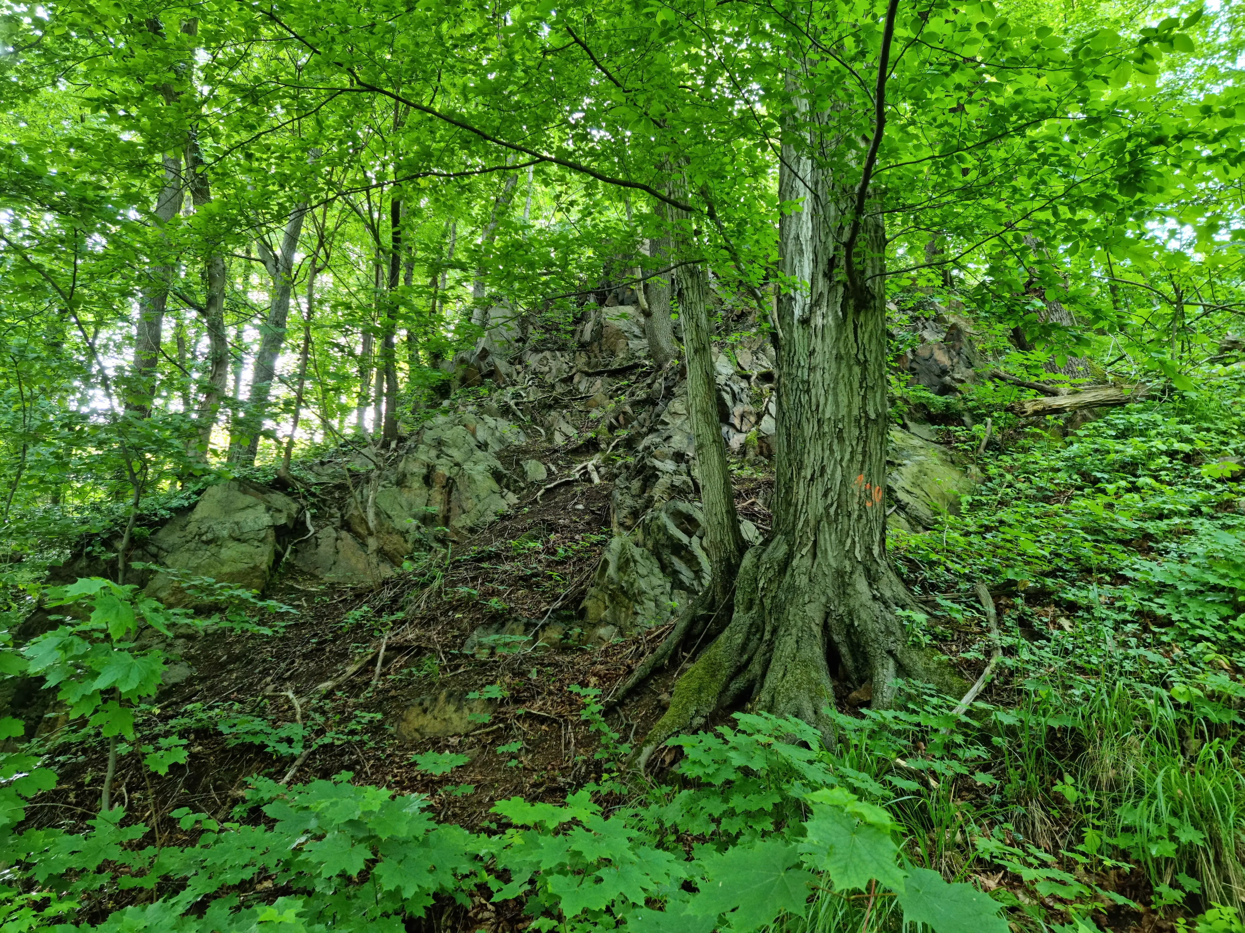
The defining landscape element of Gröditzer Skala is the narrow rock-cut valley of the Löbauer Wasser, which flows through a sequence of steep greywacke walls and wooded slopes. The greywacke cliffs, locally known as the Nordlausitzer Grauwacke, form the structural backbone of the valley, with hard, dark bedrock exposed in vertical faces, broken ledges, and boulder-strewn slopes that give the place its distinctive rocky atmosphere.
Surrounding the immediate valley, the broader landscape is part of the gently rolling country of the northern Upper Lusatian uplands. Agricultural fields, meadows, and small woodland patches frame the reserve, while the linear incision of the valley itself creates a sharp contrast between the open plateau above and the sheltered, deeply cut corridor below. The combination of steep rock walls, slope woodland, and the winding stream produces a visually compact landscape that feels far more dramatic than its modest size would suggest.
Gröditzer Skala ecosystems, habitats, and plant life
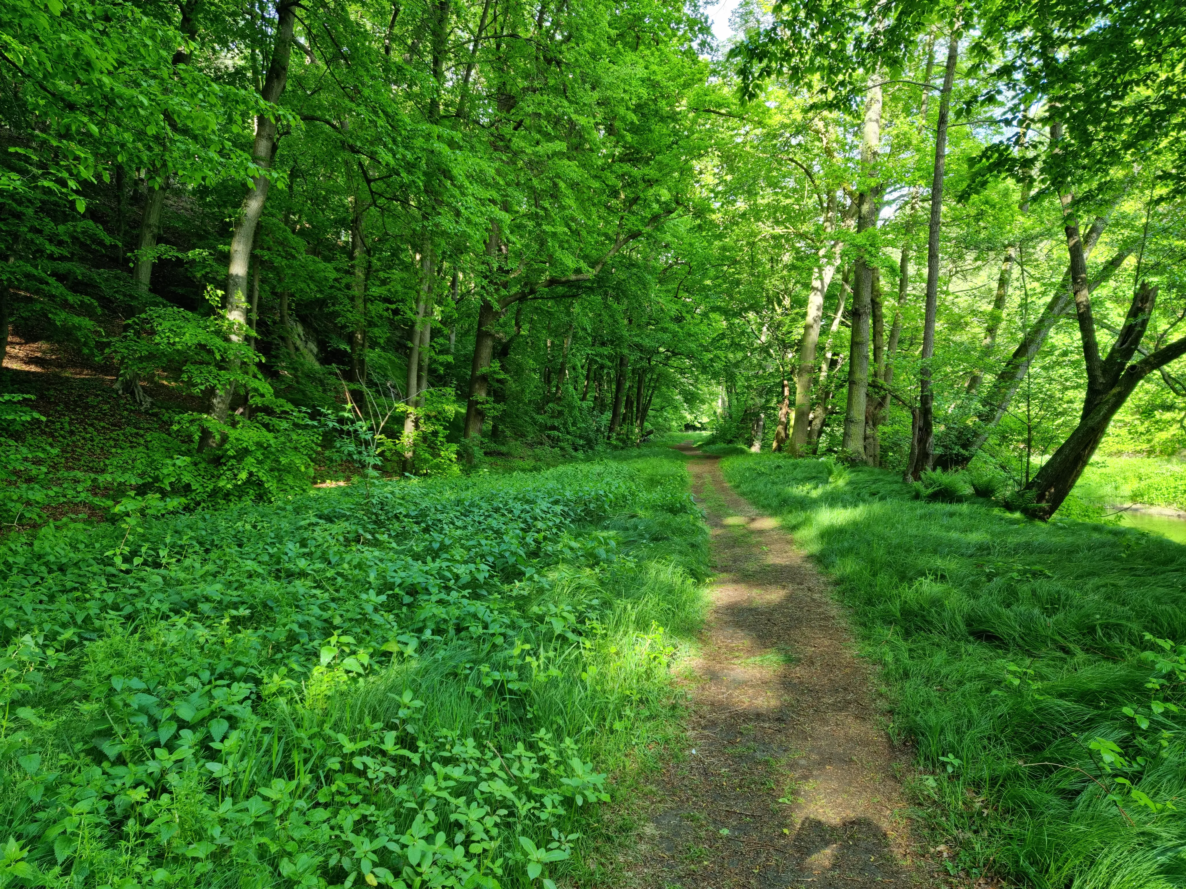
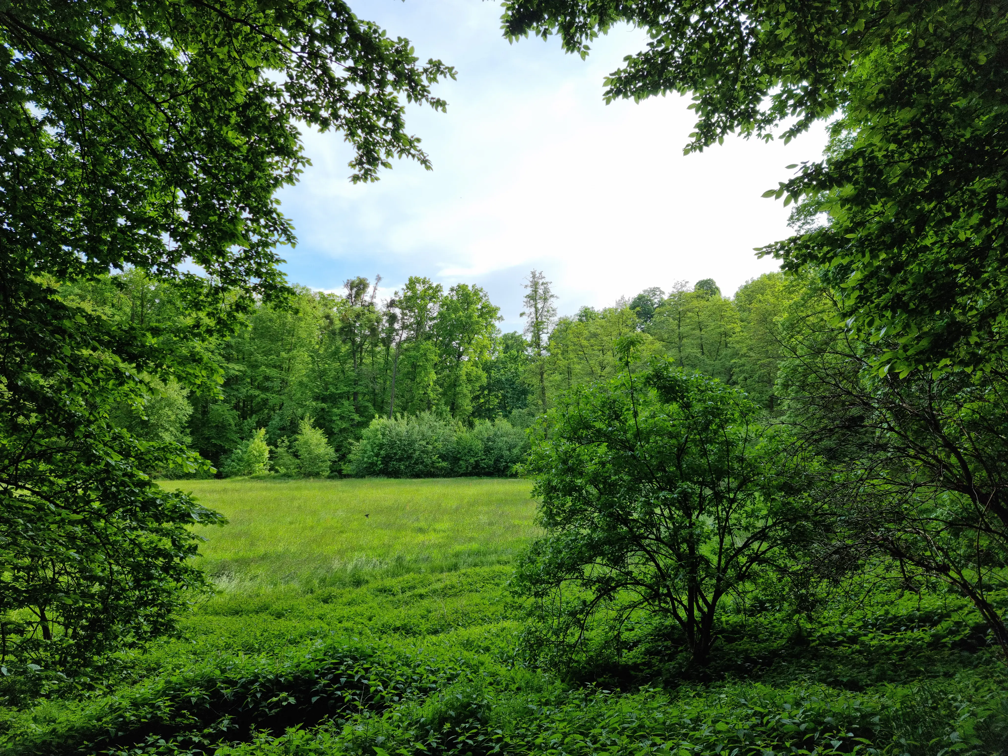
Ecologically, Gröditzer Skala is notable for the extreme concentration of habitat types within a small area. North-facing slopes remain cooler and moister, supporting shade-tolerant deciduous communities, while south-facing rock faces and ledges create warmer, drier conditions that favour a different set of plant species. The valley bottom, shaped by the Löbauer Wasser, adds wetter, riparian-influenced habitats to the mix, producing an unusually complex ecological mosaic for such a compact protected area.
Deciduous forest dominates the reserve, with sessile oak, hornbeam, common ash, and maple forming the core woodland communities. On the warmer south-facing slopes, sycamore, Norway maple, and lime become more prominent, while understorey and specialist slope species such as wych elm, bracken, sweet spurge, wood spurge, and large-flowered foxglove contribute additional botanical interest. This rich mosaic makes the reserve an important local reference site for Upper Lusatian slope forest and rock-valley vegetation.
Gröditzer Skala wildlife and species highlights
Wildlife-specific detail in available sources is limited, and the reserve is described primarily through its botanical and habitat characteristics rather than its fauna. The mosaic of forest types, slope exposures, and stream-side conditions described in the ecology section provides the structural basis for a range of woodland, cliff, and stream-associated species typical of Upper Lusatian mixed deciduous forests, but the source material does not itemise specific animal species or notable populations.
Gröditzer Skala conservation status and protection priorities
Gröditzer Skala was established as a Naturschutzgebiet in 1961 and is classified under IUCN Category IV as a Habitat/Species Management Area, reflecting its role in actively conserving a defined set of habitats and species rather than serving as a strict wilderness reserve. Its conservation value lies primarily in the protection of a small but unusually diverse greywacke valley ecosystem, including specialised slope vegetation, mixed deciduous forest types, and the stream corridor of the Löbauer Wasser.
Within the Landkreis Bautzen network of protected areas, the reserve forms part of a wider system that includes neighbouring Skalen such as the Lausker Skala, larger forested reserves like the Königsbrücker Heide, and the extensive Oberlausitzer Heide- und Teichlandschaft biosphere reserve. Together, these sites safeguard the distinctive geological and ecological character of the Upper Lusatian region, with Gröditzer Skala contributing one of the most compact and habitat-rich examples of the region's rock-valley landscapes.
Gröditzer Skala cultural meaning and human context
The Gröditzer Skala is deeply embedded in the cultural identity of Upper Lusatia, a region where the Sorbian language, Slavic place-names, and a long tradition of rural and ecclesiastical travel routes continue to shape local identity. The name itself, combining the village of Gröditz with the Sorbian word "skala" for a rocky valley, reflects this linguistic heritage.
Cultural landmarks within and around the reserve reinforce this regional context. The historic Gröditzer Viadukt, a ten-arch, 170-metre-long structure originally built for the Löbau-Weißenberg-Radibor railway line, now serves as a walking route, and the regional "Mühlenweg" themed trail links traditional mill sites through the surrounding villages. The valley also carries a section of the Görlitz-Weißenberg-Bautzen stretch of the Jakobsweg, connecting the natural reserve into one of the major long-distance pilgrimage routes of eastern Germany.
Top sights and standout views in Gröditzer Skala
Among the reserve's most notable features is the tight ecological contrast between cool, shaded north-facing slopes and warm, sun-exposed south-facing rock faces, all packed into a valley of only about 39 hectares. This produces a striking botanical richness that exceeds what the site's modest size might suggest, supporting woodland communities dominated by oak, hornbeam, ash, and maple, alongside specialist slope species such as large-flowered foxglove and wood spurge.
Equally distinctive is the valley's blend of geological and cultural heritage. The greywacke walls of the Nordlausitzer Grauwacke, formed during the Elster glaciation, provide the dramatic physical setting, while the repurposed Gröditzer Viadukt, the regional Mühlenweg trail, and a section of the Jakobsweg give the reserve a strong identity as both a natural and a cultural landscape within the Landkreis Bautzen.
Best time to visit Gröditzer Skala
The valley's scenery and ecological character shift noticeably with the seasons. Spring and early summer bring the most active display of slope flora, including flowering large-flowered foxglove and a range of woodland understorey plants, while the fresh green of the deciduous canopy makes the stream corridor feel especially vivid. Midsummer highlights the contrast between the cool, shaded valley floor and the warmer south-facing rock faces. Autumn turns the mixed deciduous forest into a varied palette of oak, beech, maple, and lime colours, particularly striking against the dark greywacke walls, while winter exposes the rocky architecture of the valley more clearly, with bare trees and exposed greywacke faces emphasising the geological character of the reserve.