
Mori Atlas logo
Park guides

Seasonal context from Maui's volcanic summit to Kīpahulu coast

Haleakalā National Park visitor timing guide for its Maui County setting

Use Haleakalā National Park's guides across Maui's volcanic summit, crater, cloud forest, waterfalls, pools, and Kīpahulu coast. The timing guide frames clear summit stargazing against coastal swimming, noting that cooler, drier months favor crater hiking while shoulder seasons balance manageable temperatures and fewer crowds.

Related tags

volcanic landscapeendemic speciesHawaiian ecosystemssilverswordnational park

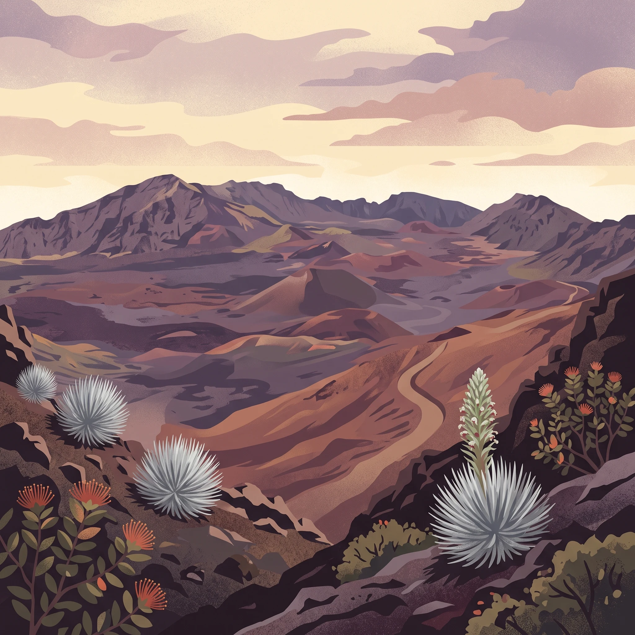
Hawaiian volcanic wilderness protecting endangered silversword and unique ecosystems

Haleakalā National Park

Haleakalā National Park represents one of the most ecologically significant protected areas in the United States, protecting unique Hawaiian ecosystems that evolved in isolation over millions of years. The park sits atop the massive shield volcano that forms the eastern portion of Maui, with its summit crater representing a dramatic landscape of cinder cones, volcanic vents, and ancient lava flows. The mountain last erupted between 1480 and 1600 AD, making it a relatively young volcanic system in geological terms. The park's two distinct sections, the summit area and the coastal Kipahulu region, are separated by the Kipahulu Valley and cannot be directly connected by road; visitors must travel the winding Hana Highway to reach the coastal section. The summit area features a well-maintained scenic drive with numerous overlooks, leading to a visitor center at approximately 9,740 feet elevation where visitors can witness the famous sunrise and sunset phenomena. The Kipahulu section preserves fragile Hawaiian tropical rainforest and contains the famous 'Ohe'o pools along Palikea Stream, where visitors can swim in natural freshwater pools fed by waterfalls descending from the valley above.

Location
United States of America
Park type
National park
Established
1961
Area
134.6 km²
Highest point
3,055 m
Haleakalā National Park Protected Landscape
1 guide

Compare focused topics on summit stargazing and coastal conditions

Published Guides for Haleakalā National Park Mapped by Visitor Timing

Published guides for Haleakalā National Park organize essential visitor timing topics for targeted exploration. Specific resources help travelers compare seasonal conditions for crater hiking and coastal swimming across the volcanic landscape.
MoriAtlas Explorer

Continue Exploring Haleakalā National Park's Protected Landscape and Regional Geography

Delve deeper into the protected-area specifics and geographic context of Haleakalā National Park. Understanding this park's unique landscape and mapped boundaries within Maui County enriches your atlas exploration and appreciation of its natural terrain. Continue your discovery journey to grasp its full significance in the regional geography and protected lands framework.