Mori Atlas logo
Park earthquake history

A curated collection of historical seismic event data mapped by proximity to the protected landscape

Hollerland Nature Reserve Earthquake History and Recorded Regional Seismic Activity Records

This repository provides a transparent collection of recorded seismic activity associated with the Hollerland nature reserve through epicentre distance calculations. Users can examine historical event data, including specific dates, magnitudes, and depths for each record derived from established geological monitoring catalogues. The data remains focused strictly on historical observations recorded within the geographic vicinity of this protected Bremen wetland, ensuring a clear and objective view of local seismic patterns over time.

Digital vector illustration of a valley featuring a large cliffside waterfall, a winding river, and surrounding evergreen forests.

A surviving wetland mosaic in northern Bremen, shaped by medieval Dutch settlers and protected after decades of citizen activism.

Westliches Hollerland

Westliches Hollerland is a 293-hectare nature reserve in the city-state of Bremen in northwestern Germany. It preserves a remaining fragment of the historic Hollerland cultural landscape, a low-lying marshland that Dutch settlers reclaimed and cultivated beginning in the early twelfth century. The reserve is defined by a dense, roughly 90-kilometer-long drainage ditch network winding through wet meadows, small ponds, and relict woodland. This managed wet grassland supports breeding meadow birds, migrating waterfowl, amphibians, dragonflies, and rare plant communities, including a small inland saline spring known as the Pannlake. The area is notable not only for its ecological value but also for its protection history. After large-scale residential development plans threatened the landscape in the 1960s and 1970s, a sustained citizen campaign led to its designation as a nature reserve in 1985 and, ultimately, its inclusion under the European Union Habitats Directive in 2004.

Location
Germany
Park type
Nature reserve
Established
1985
Area
2.9 km²
Hollerland Nature Reserve Geography

Review Hollerland observations by date, depth, place, and distance

Study the historical earthquake record associated with Hollerland

Hollerland’s earthquake collection uses epicentre locations and distance to Bremen’s wet-grassland, drainage-ditch, and meadow-bird reserve. Dates, magnitudes, depths, localities, separation, and sources remain searchable as historical observations without treating nearby records as inside the site or claiming wetland influence, damage, current danger, cause, or prediction.

Sort by
Magnitude
Location

This page describes catalogued earthquakes associated with the park by epicentre location and distance. It does not establish causation, assess current danger, or predict future earthquakes.

No earthquake records match the current filters

Park atlas

Go beyond Hollerland earthquake history in the atlas

Discover other protected park destinations after Hollerland

The destinations after Hollerland expand atlas discovery beyond its earthquake records and wet-grassland reserve context. Their presence is not proof of shared meadow-bird or dragonfly habitat, German designation, nearby position, seismic history, hazard exposure, risk, or dedicated earthquake content; every protected place remains a separate record.
Nature reserveBremen
0 km away#1 closest

West

Kuhgrabensee Nature Reserve: Mapped Geography and Protected Areas in Bremen

An ecologically vital lake and bird sanctuary in Northwest Germany

Kuhgrabensee serves as a prime example of landscape restoration within Bremen, featuring a groundwater-fed lake with notable saline influences. This protected area supports a diverse array of pioneer plants and wildlife across its reed-lined shores and shallow-water habitats, providing a quiet corridor for ecological observation and study in the heart of the local landscape.

Area
0.296 km²
Established
1987
Relief
Lowland
Climate
Temperate
Nature reserveBremen
0.1 km away#2 closest

Northwest

Untere Wümme Nature Reserve: Riverine Biodiversity and Protected Tidal Landscapes in Bremen

Protected floodplain geography and tidal river habitats.

This nature reserve protects the meandering lower course of the Wümme river, showcasing one of northern Germany's few freshwater tidal systems. Spanning reedbeds, willow forests, and open mudflats, the reserve forms a vital corridor for migratory fish and waterfowl, reflecting a complex mosaic of protected riverine ecosystems and historic meadow landscapes.

Area
1.485 km²
Established
1991
Relief
Lowland
Climate
Temperate
A watercolor painting showing a serene landscape with calm water, small islands of trees, and rolling hills in the background.
Nature reserveBremen
About 0.9 km away#3 closest

West

Am Stadtwaldsee (Uni-Wildnis) Nature Reserve: Geographic Atlas and Park Map Context

Protected secondary habitat landscape in Bremen, Germany

Located in Bremen, the Am Stadtwaldsee (Uni-Wildnis) nature reserve offers a compelling study of secondary ecological succession. The area features a dense concentration of ponds and wooded ground shaped by historical sand mining. Explore the mapped boundaries of this eleven-hectare refuge to understand its role in urban biodiversity and regional landscape conservation.

Area
0.114 km²
Established
1991
IUCN
IV
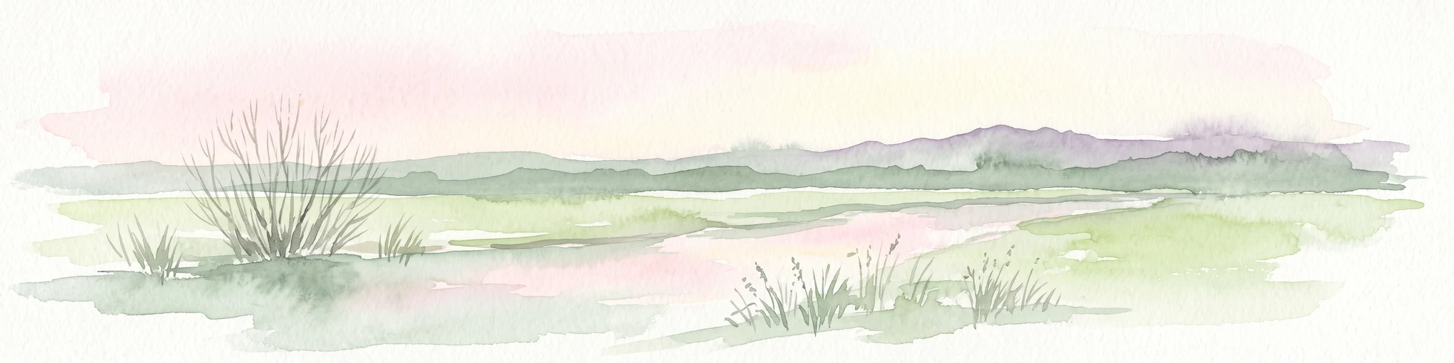
A pale, soft-toned watercolor illustration of a calm river meandering through open, green marshy meadows with distant rolling hills under a soft pink sky.
Nature reserveBremen
1.4 km away#4 closest

East

Borgfelder Wümmewiesen: Protected Wetland and Floodplain Geography in Bremen

An expansive 688-hectare nature reserve with river-fed grasslands.

Borgfelder Wümmewiesen offers a look at one of the largest protected nature reserves in the Bremen region. The landscape is characterized by its flat, open terrain and regular water dynamics that frame a rich mosaic of wet meadows, reedbeds, and ponds, providing essential habitat for breeding and migratory bird species along the Wümme river corridor.

Area
6.88 km²
Established
1987
Relief
Lowland
Climate
Temperate
Nature reserveLandkreis Osterholz
About 6.9 km away#5 closest

North

Westliche Hälfte des Langen Moores Nature Reserve in Landkreis Osterholz

A protected mosaic of highmoor peatland geography

Examine the distinct ecological features of Westliche Hälfte des Langen Moores, a protected nature reserve in Landkreis Osterholz. This site offers a compact look at highmoor regeneration and the diverse plant communities found within the historic Teufelsmoor cultural landscape of northern Germany.

Area
0.11 km²
Established
1984
IUCN
IV
Nature reserveBremen
About 7.3 km away#6 closest

South

Vogelschutzgebiet Arsten-Habenhausen: Mapping the Protected Weser Floodplain Habitat

A historic urban nature reserve located in Bremen

Located in the Habenhausen district of Bremen, Vogelschutzgebiet Arsten-Habenhausen is a significant protected area focused on river floodplain maintenance. The site provides a concentrated view of floodplain woodland and reedbed vegetation, illustrating how small, long-established nature reserves contribute to the regional geography of the Weser river corridor in Germany.

Area
0.01 km²
Established
1950
IUCN
IV
Relief
Lowland
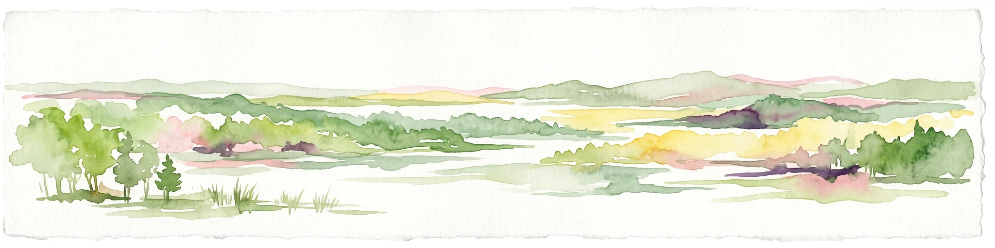
Watercolor painting of a wide, rolling landscape with green trees, golden fields, and soft hills in the background.
Protected areaGermany
8.3 km away#7 closest

Southeast

Krietes Wald (Im Holze) Protected Area: Landscape and Geographic Atlas Summary

A critical urban forest node in the Bremen region of Germany.

Krietes Wald (Im Holze) serves as a significant nature reserve characterized by its mature beech and oak-hornbeam woodland. Spanning a narrow, protected corridor in eastern Bremen, the site provides dense habitat value within an industrial landscape. It stands as a regional reference for saproxylic insect conservation and structural forest development within the federal republic of Germany.

Area
0.083 km²
Established
2015
Relief
Lowland
Climate
Temperate
A watercolor painting showing a soft, panoramic view of a flat wetland area with green trees, a solitary tree in the middle, and industrial silos faintly visible in the background.
Nature reserveBremen
About 8.3 km away#8 closest

West

Hochwasserschutzpolder zwischen Senator-Apelt-Straße und Neustädter Hafen: Bremen Protected Lands

A vital wetland reserve integrating flood management and avian biodiversity in the port district.

Located within the port district of Bremen, the Hochwasserschutzpolder zwischen Senator-Apelt-Straße und Neustädter Hafen is a notable protected area that balances essential flood-control infrastructure with rich ecological functions. The reserve sustains a variety of wetland bird populations across its reed-lined waters and alluvial woodlands, providing a critical haven for wildlife amidst the surrounding industrial and urban development of the Lower Weser region.

Area
0.847 km²
Established
2014
IUCN
IV
MoriAtlas Explorer

Explore the Mapped Geography and Protected Habitats of Hollerland Nature Reserve

Discover the complex drainage terrain and rare ecological features that define Hollerland. This MoriAtlas destination provides a detailed look at how historic land management creates today's protected wetland meadows, bird breeding grounds, and inland saline springs in northwestern Germany.

Global natural geography