
Mori Atlas logo
Park earthquake history

Review documented seismic occurrences near the north central hills and forest boundaries.

Holly Springs National Forest Historical Earthquake Catalogue and Recorded Seismic Data

This catalogue provides a structured record of seismic events identified within the geographic vicinity of Holly Springs National Forest. Each entry details the recorded date, depth, and magnitude of historical earthquakes associated with this protected landscape, allowing for a clear overview of seismic activity observed in the surrounding region of northern Mississippi. The collection relies on geological data to correlate epicentres with the diverse topography of the forest.

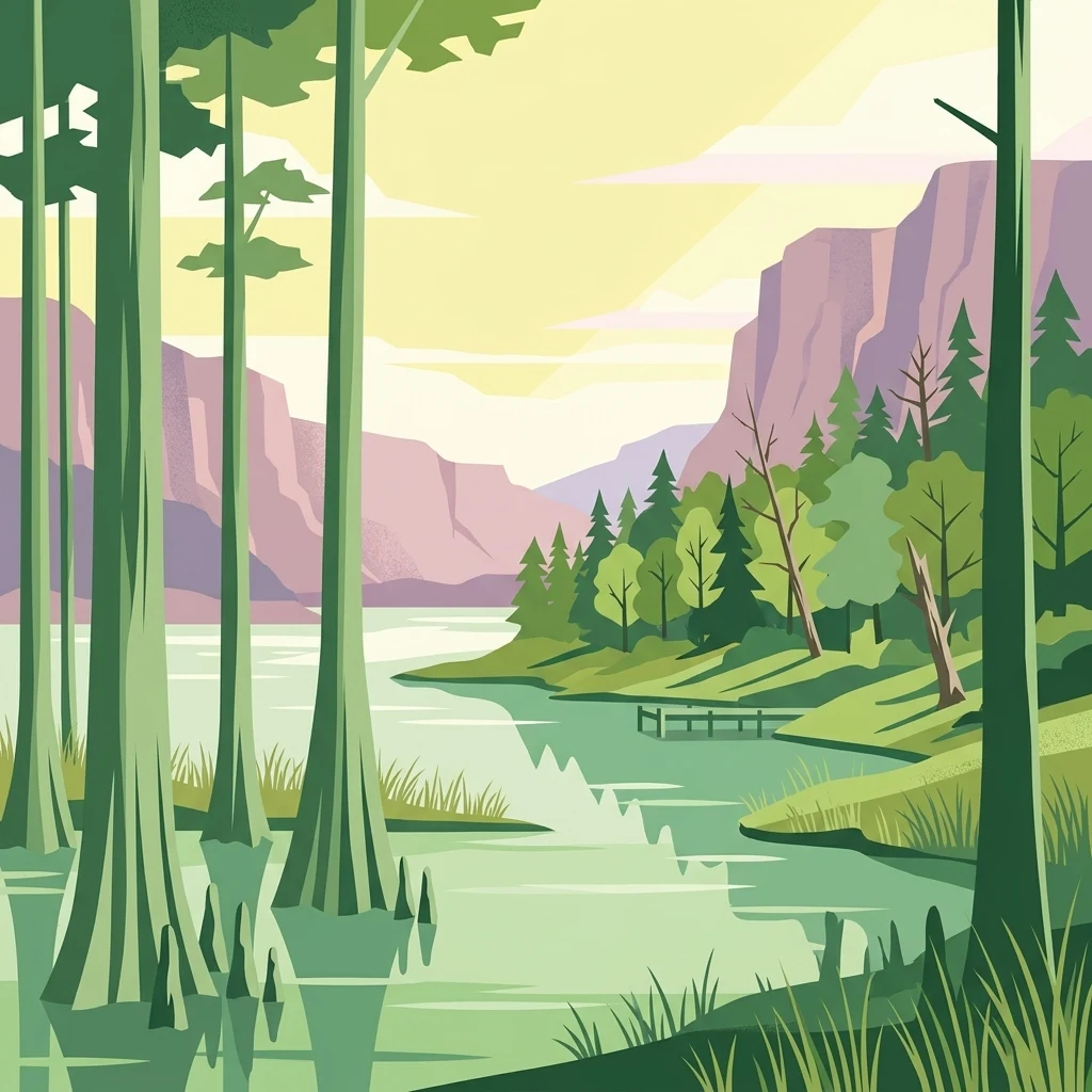
A stylized vector illustration of a forested lake scene with tall trees, cypress-like knees, and rocky cliffs in the distance under a pale sky.

A rehabilitated pine-and-hardwood forest in the rolling hills of northern Mississippi, born from Depression-era restoration of eroded farmland.

Holly Springs National Forest

Holly Springs National Forest is a United States Forest Service protected landscape in northern Mississippi, anchored by the rolling terrain of the state's north central hills. The forest encompasses roughly 155,000 acres of federal land under the Holly Springs Ranger District, interspersed within a much larger proclamation zone that also includes extensive private farms and woodlots, creating a patchwork mosaic of public forest and private holdings across several counties. The modern forest was assembled from abandoned and severely eroded agricultural land that had been abandoned by the 1930s. Large-scale reforestation, carried out in part by the Civilian Conservation Corps, transformed depleted hillsides into a working forest of loblolly pine, shortleaf pine, and upland hardwoods. Today the area blends pine-covered ridges, bottomland swamps, and recreation sites around several reservoirs, forming one of the defining national forest landscapes of the upper South. Holly Springs National Forest is notable both for its ecological recovery story and for its role as a multi-unit administrative forest grouped with Bienville, De Soto, and Homochitto under the umbrella label National Forests in Mississippi. It provides habitat diversity across pine uplands and hardwood bottoms, supplies watershed headwaters for streams such as the Wolf River, and supports a network of lakes, ponds, and trails used for camping, picnicking, hiking, and outdoor recreation.

Location
United States of America
Park type
Protected landscape
Established
1936
Area
629.9 km²
Holly Springs National Forest Atlas

Sort Holly Springs National Forest events by depth and distance

Search recorded earthquakes around Holly Springs National Forest

Holly Springs National Forest’s earthquake collection locates reported epicentres around its northern Mississippi boundary by calculated distance, keeping the records separate from rolling hills, pine forest, and reforested land. Each source-linked entry offers a date, magnitude, depth, locality, and forest distance for historical comparison without asserting landscape effects, current danger, or recurrence.

Sort by
Magnitude
Location

This page describes catalogued earthquakes associated with the park by epicentre location and distance. It does not establish causation, assess current danger, or predict future earthquakes.

No earthquake records match the current filters

Park atlas

Continue from Holly Springs National Forest earthquake history

Find additional parks after Holly Springs National Forest

Move from Holly Springs National Forest’s earthquake catalogue to protected destinations with their own histories and landscapes. Their inclusion is not a comparison with Mississippi pine-and-hardwood restoration, national-forest governance, or rolling-hill geography, and it implies no matching seismic evidence, proximity, geological setting, present hazard, risk, or source depth.
Protected landscapeMississippi
41 km away#1 closest

South

Tombigbee National Forest: Geographic Atlas and Protected Landscape Overview

Mapping the forest terrain and regional watershed in Mississippi

Tombigbee National Forest represents a complex protected landscape divided into two non-contiguous sections across northeastern Mississippi. From the pine-and-hardwood ridges of its northern unit to the reservoir-anchored southern portion, the forest offers a detailed case study in regional topography and watershed management within the southeastern United States.

Area
271.16 km²
Established
1959
Relief
Upland
Climate
Subtropical
Protected landscapeAlabama
129 km away#2 closest

East

William B. Bankhead National Forest: Cumberland Plateau Landscapes and Geography

Protected river gorges and forested ridges in northwestern Alabama

Covering extensive tracts across Lawrence, Winston, and Franklin counties, William B. Bankhead National Forest anchors the regional geography of the Cumberland Plateau. This atlas entry provides a detailed look at the forest's stream-carved terrain, limestone geology, and its central role in preserving the riparian corridors of the Sipsey Fork and its surrounding protected wilderness.

Area
733.4 km²
Established
1918
Relief
Upland
Scope
Terrestrial
A watercolor painting showing a stylized landscape with rolling green hills, a band of trees, and a pale pink lake surface under a soft morning sky.
Protected landscapeUnited States of America
184 km away#3 closest

North

Land Between the Lakes National Recreation Area: Mapped Geography and Protected Landscapes

An inland peninsula preserved between two major river reservoirs.

Land Between the Lakes National Recreation Area occupies a distinct narrow land bridge between Kentucky Lake and Lake Barkley. This protected landscape contains a dense mix of forested ridges, stream valleys, and managed wildlife prairies. The area is integral to the lower Ohio River Valley geography, showcasing the results of long-term watershed management and large-scale ecological restoration within the United States.

Area
693.1 km²
Established
1963
Visitors
2M annual
Relief
Lowland
National parkMissouri
234 km away#4 closest

Northwest

Mark Twain National Forest: Geography and Protected Area Atlas of Southern Missouri

Mapping the karst terrain and ancient ridges of the Ozark Highlands

Mark Twain National Forest represents a sprawling conservation area within the Missouri Ozark Highlands. Its geography is defined by volcanic mountain remnants, rocky glades, and significant river corridors like the Eleven Point National Scenic River. This record provides insight into the forest's complex mapped boundaries, seven designated wilderness areas, and the distinctive karst geology that characterizes this unique American landscape.

Area
6,037.3 km²
Established
1939
Relief
Upland
Climate
Temperate
Watercolor painting of a wide, rolling landscape featuring layered sandstone bluffs and green forested hills against a light background.
Protected landscapeIllinois
243 km away#5 closest

North

Shawnee National Forest: Exploring the Protected Landscapes of the Illinois Shawnee Hills

Mapped sandstone formations and glacial terrain in southern Illinois

Spanning nearly 289,000 hectares, Shawnee National Forest is the largest body of public land in Illinois. The area is defined by its dramatic sandstone bluffs, deep canyons, and seven designated wilderness areas that provide a rare rugged topography within the American Midwest. Explore the complex geography of this forest, from its glacial-sculpted river watersheds to its diverse hardwood habitats and historic reforestation sites.

Area
2,017.83 km²
Established
1933
Relief
Upland
Climate
Temperate
Wildlife reserveMissouri
About 246 km away#6 closest

North

Mingo Wilderness: Missouri Protected Wildlife Reserve and Wetland Geography

Primitive bottomland forest and swamp landscape

Mingo Wilderness encompasses 8,000 acres of protected bottomland hardwood forest and cypress-tupelo swamp in southeastern Missouri. As a federally designated wilderness area embedded within a national wildlife refuge, it provides a quiet, primitive habitat characterized by slow-moving creek corridors and varied seasonal wetlands.

Area
32 km²
Established
1976
IUCN
Ib
Relief
Lowland
Protected landscapeMississippi
248 km away#7 closest

Southwest

Homochitto National Forest: Mapping the Protected Landscapes of Southwestern Mississippi

Regional forest geography and landscape documentation.

Investigate the unique landscape of Homochitto National Forest, an extensive protected area in Mississippi defined by its loess-country topography and managed pine forests. This entry provides essential mapping context and geographic data for those examining the role of this forest within the broader Southeastern United States ecological network and its CCC-rooted heritage.

Area
776.34 km²
Established
1936
Relief
Upland
Scope
Terrestrial
A soft watercolor illustration featuring rolling green hills, a winding stream, and a forested treeline against a pale sky.
Wildlife reserveMissouri
261 km away#8 closest

Northwest

Irish Wilderness: Missouri Ozark Protected Area and Karst Landscape Atlas

Federally protected wilderness in the Eleven Point River landscape

Spanning the rugged terrain of the Missouri Ozarks, Irish Wilderness is a federally protected area known for its distinct karst geography. Visitors can study the network of caves, sinkholes, and springs that define the local environment, alongside historical remnants of frontier settlement. The area serves as a primary example of wilderness preservation within the Mark Twain National Forest, balancing sensitive cave ecosystems with forested ridge landscapes.

Area
65.87 km²
Established
1984
IUCN
Ib
Relief
Upland
MoriAtlas Explorer

Explore the Mapped Geography and Protected Landscapes of Holly Springs National Forest

Examine the detailed terrain and administrative boundaries of Holly Springs National Forest. Learn how this massive reforestation project in Mississippi shaped a regional landscape of pine forests, swamps, and reservoirs across the north central hills.

Global natural geography